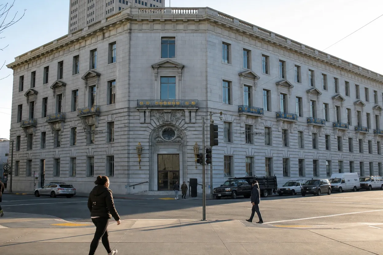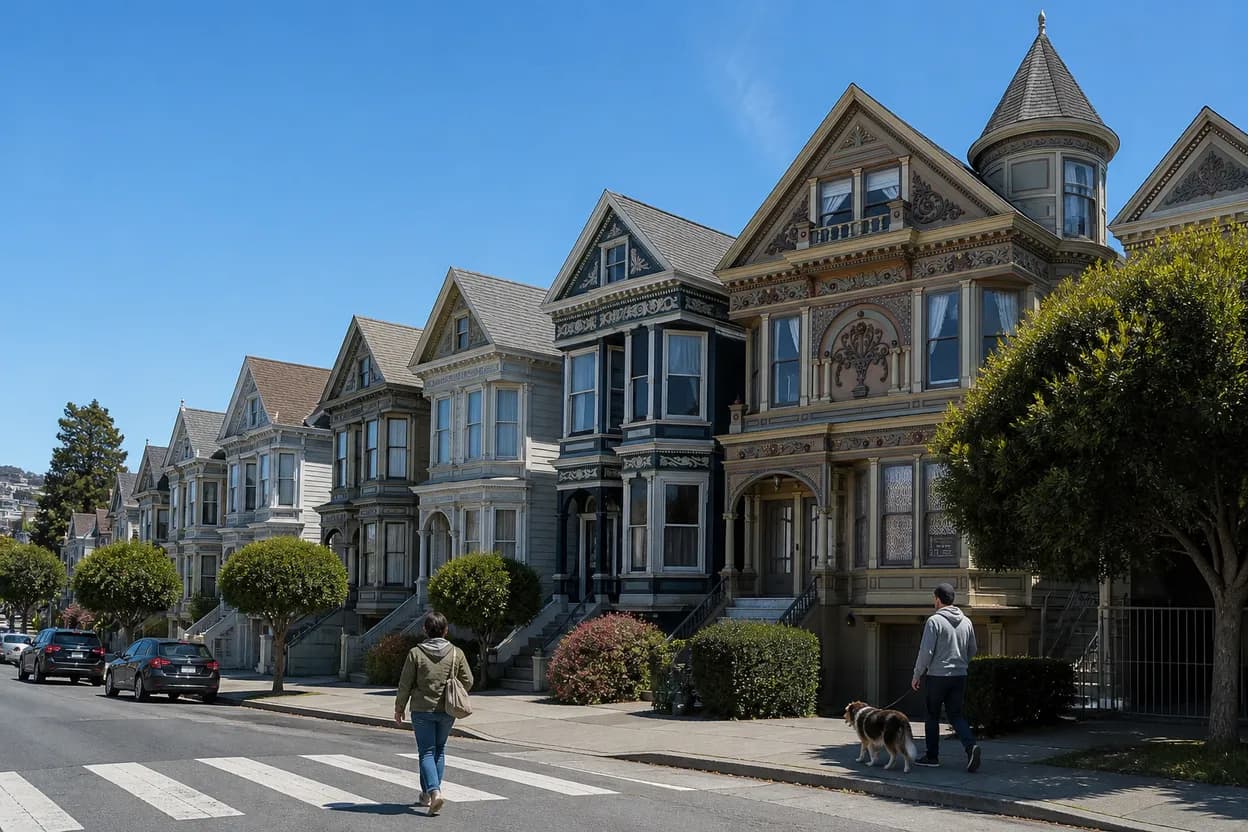
On Monday, August 10, 2026, the phrase “the last house” is a useful prompt for San Francisco rather than a literal address hunt. In the Outer Sunset, the city seems to run out gradually: stucco rows, occasional older facades, wind-bent trees, beach sand in the gutters, then Ocean Beach and the Pacific. This guide is built for a foggy solo morning with moderate walking, using architecture as the noticing game and current neighborhood utilities as the guardrails. The point is not to trespass, chase a private home, or crown one building as special. It is to move west with enough context to make the edge of the city legible.
Want a cleaner Outer Sunset route before you leave home? Text Karpo for a city-specific morning plan that checks Muni, fog, beach access, and backup stops in one tap.

N Judah to Judah Street and La Playa
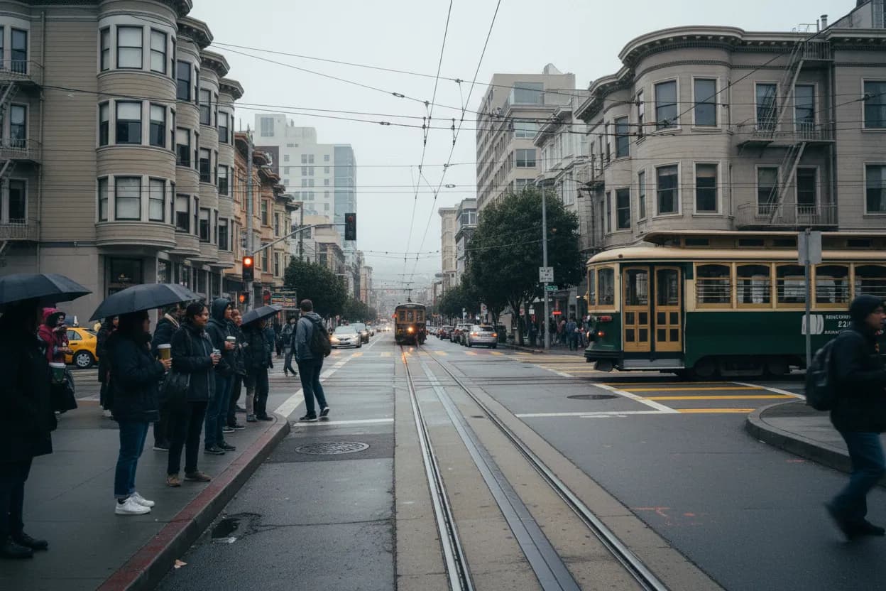
For most San Francisco readers, the simplest first move is the N Judah toward Ocean Beach. SFMTA lists the line as serving the Outer Sunset and terminating at Judah Street and La Playa Street, with 24-hour daily service and the N Bus covering some early periods outside subway hours. Frequency and live arrivals can shift, so treat the route page or a transit app as the decision point before leaving, especially if you are timing a morning coffee stop.
The ride sets the right pace because it makes the city’s westward transition visible. Downtown grids give way to residential blocks, then Judah narrows into a neighborhood corridor before the dunes appear. Accessibility depends on the exact station, stop, and vehicle in service that morning; SFMTA also posts elevator status for Metro stations. If predictions are unavailable, build in time rather than forcing a tight itinerary around a single train.
Sunset District Historic Resource Survey Map
SF Planning’s Sunset District Historic Resource Survey Map is the best official tool for keeping the architecture part grounded. It links lot-level evaluations for surveyed buildings and explains that only single-family houses built from 1925 to 1950 were evaluated. That matters because a striking house is not automatically historic, and an unmarked property may simply fall outside the survey scope rather than lack value.
Use the map as a lens, not a scavenger hunt. Search or tap public-facing parcels from the sidewalk, compare building rhythms, and look for broad patterns: low-rise massing, revival details, garage-forward facades, and weathered materials shaped by salt air. Do not photograph into windows, enter stairs, or identify private residents. If a specific address becomes important, verify it directly through the map or SF Planning before repeating any claim.
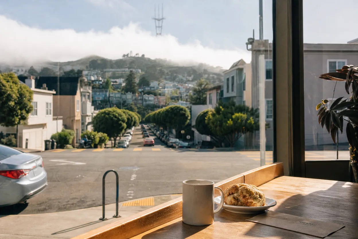
Judah Street Coffee Stop at Java Beach Cafe
Java Beach Cafe is the practical anchor at the western end of Judah, with its La Playa location listed at 1396 La Playa Street and positioned across from Ocean Beach. Its own location page currently states daily hours of 7 a.m. to 5 p.m., while another site page showed dynamic location hours that may vary by branch. For a Monday morning, confirm the live listing before depending on seating, takeout, or a restroom break.
This stop works best for solo explorers who want a reset before choosing beach, park, or neighborhood blocks. The tradeoff is that beach-adjacent cafes can bunch up around commuters, surfers, families, and visitors when the weather clears. If the line is long, buy nothing under pressure; continue east on Judah for a quieter walk or use Sunset Dunes seating if conditions are dry and wind is manageable.
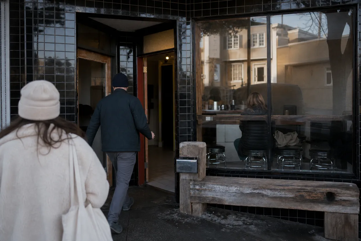
Outerlands at 4001 Judah Street
Outerlands gives the route a food option without turning the morning into a restaurant itinerary. Its official site lists 4001 Judah Street and current dinner hours, with weekend brunch posted separately and no brunch reservations. Because this draft is for Monday, treat Outerlands as an evening fallback rather than a guaranteed morning meal. If you are planning around it, check the restaurant’s own reservation or ordering page the same day.
The useful role of Outerlands is contextual: it marks the Outer Sunset’s shift from quiet residential edge to a food corridor people cross town for. That can make nearby sidewalks feel busier than the surrounding blocks. If your goal is architecture and atmosphere, pass by early, note the storefront scale, and keep moving. If your goal is dinner after the beach, plan transit home before you sit down.
Ocean Beach at the Western Edge of San Francisco
Ocean Beach is the natural endpoint, but it is not a casual swimming beach. The National Park Service describes it as a 3.5-mile stretch on San Francisco’s western border, good for strolling and kite flying, with cold water and hazardous currents for anyone except very experienced surfers. Fog is common in late spring and summer, and average temperatures are often in the 50s, so a summer morning can still feel raw.
For this route, Ocean Beach is best used as a horizon check after the architectural walk. Stay on established access points, avoid fragile dunes, pack out trash, and keep the visit flexible if wind or visibility makes the shoreline unpleasant. Beach wheelchairs are available upon request according to the park page, but anyone needing one should verify the request process before arrival rather than assuming immediate availability.
Sunset Dunes From Lincoln Way to Sloat Boulevard
Sunset Dunes is now the major practical update on this side of the city. SF Rec and Park says the oceanfront park opened April 12, 2025, stretching about two miles from Sloat Boulevard to Lincoln Way and adding roughly 50 acres of public space. The department lists walking, biking, seating, fitness areas, art, water fountains, wildlife-friendly trashcans, bike parking, and a temporary restroom at Noriega among current amenities.
That extra space changes the backup logic for a foggy morning. If Ocean Beach is too windy, Sunset Dunes gives you a paved, car-free coastal route with more options to stop, turn around, or rejoin neighborhood streets. Friends of Sunset Dunes notes entrances at Lincoln, Judah, Lawton, Noriega, Pacheco, Rivera, Taraval, Vicente, and Sloat, with ADA-accessible ramps at Judah and Taraval. Stay out of fenced restoration areas.
Dutch Windmill and Same-Day Verification
If you want one object that makes the “edge of the city” idea visible, use the Dutch Windmill near John F. Kennedy Drive and the Great Highway. SF Rec and Park says the Dutch Windmill was built in 1902, with the Murphy Windmill completed later nearby, both originally tied to groundwater irrigation for Golden Gate Park. The Queen Wilhelmina Tulip Garden beside the Dutch Windmill is seasonal, so do not promise blooms in August.
Before you commit, verify three things in order: live N Judah arrivals, current Ocean Beach or Sunset Dunes access notices, and the hours for any food stop you plan to use. If one fails, the route still works by shortening to Judah, La Playa, Sunset Dunes, and the windmill. The final check is behavioral: observe private homes from public sidewalks only, and let verification replace rumor.
Tags: #SanFrancisco #OuterSunset #OceanBeach #SunsetDunes #NJudah #JudahStreet #GoldenGatePark #SFNeighborhoods #LocalGuide #CityWalk #FoggyMorning #AskKarpo #BeforeYouGo #Karpo
Sources consulted: Source 1: sfmta.com · Source 2: sfplanning.org · Source 3: nps.gov · Source 4: sfrecpark.org · Source 5: sfrecpark.org · Source 6: javabeachcafe.com
All trademarks are the property of their respective owners.
Ask Karpo first
Tell Karpo your date, group size, budget, and starting point. We’ll check current access, timing, transit, and the cleanest San Francisco plan for Outer Sunset District before you head out.