 North Beach Tailor Alteration Shop Finder: Inherited Suits
Neighborhood Guides
Hayes Valley Neighborhood Historical Walking Tour, Free Loop
Hayes Valley's history walk is free and self-guided: Patricia's Green, Victorian side streets, Alamo Square and the Civic Center, all within about two miles.
Hayes Valley is the San Francisco neighborhood that got its daylight back. For decades an elevated stretch of the Central Freeway cast a shadow over Hayes Street and Octavia; after the 1989 Loma Prieta earthquake damaged it, the city tore the spur down and opened Octavia Boulevard in 2005. A neighborhood historical walking tour here costs nothing, needs no booking, and fits into roughly two miles: freeway scar, Victorian rows, Alamo Square, and the Beaux-Arts Civic Center.
Start at Patricia's Green, Where the Ramps Came Down
Begin at Patricia's Green, the narrow park on Octavia Boulevard between Hayes and Fell Streets. The lawn sits almost exactly where off-ramps used to drop traffic into the neighborhood, and it is named for Patricia Walkup, a longtime resident who campaigned to remove the freeway rather than rebuild it. Stand at the north tip and look up Octavia: the four-lane boulevard with its side lanes and tree medians is the replacement design, and its width tells you how much concrete once hovered overhead.
Before the freeway era, this was a working-class district of flats, corner groceries and small factories, named for Thomas Hayes, who held land here in the 1850s. The art installations rotating on the Green are temporary, so the permanent landmarks are the buildings around it. Note how the newer mid-rise housing along Octavia fills lots that sat empty under the ramps for years; the contrast with the older wooden flats on Hayes is the whole story of the street in one view.
Hayes Street and the Linden Alley Back Lots
Walk west along Hayes Street toward Laguna. The two- and three-story wooden buildings with bay windows and shopfronts at street level are the neighborhood's original commercial spine, and many still carry their cornices and bracketed eaves. Then duck south into Linden Street, the service alley running parallel between Octavia and Laguna. Its garages, back stairs and small cafe windows show how these blocks were laid out: grand facades on the street, utility lanes behind, a pattern repeated across 19th-century San Francisco.
The real history lesson on Hayes Street is a fire. On the morning of April 18, 1906, a blaze that started in a kitchen near Hayes and Gough became known as the ham and eggs fire, because a resident had lit a stove with a chimney cracked by the earthquake. It spread east and helped destroy the old City Hall. Many of the wooden houses west of Laguna survived, which is why the Victorians you are about to see are original rather than rebuilt.
Victorian Side Streets Between Laguna and Steiner
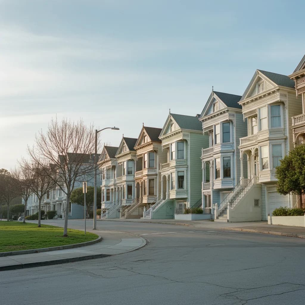
From Hayes and Laguna, zigzag west on the cross streets toward Buchanan, Webster and Fillmore. Look for three styles: flat-fronted Italianates with tall narrow windows from the 1870s, Stick-Eastlake houses with squared bays and vertical trim from the 1880s, and Queen Annes with corner towers and fish-scale shingles from the 1890s. Many have been repainted in multiple colors, a fashion that took off in the 1970s. Keep to the public sidewalk; these are private homes, and their stoops and garden gates are not photo props.
Who you will meet on these blocks says a lot about the neighborhood today: residents walking dogs toward the park, architecture students sketching porch brackets, and visitors trying to count gables. An honest note: skip the stretch of Fell and Oak east of Webster if you want quiet. Those are one-way traffic arteries carrying cars toward the Panhandle and Golden Gate Park, and the noise makes it hard to look at buildings. The parallel streets like Hayes and Grove are far calmer.
Alamo Square and the Painted Ladies Ridge
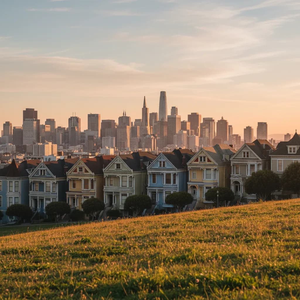
Climb Hayes Street to Steiner and enter Alamo Square Park, the hilltop green that gives the neighborhood west of Hayes Valley its name. On the park's east edge, the row of Queen Anne houses facing it on Steiner Street, built in the 1890s by developer Matthew Kavanaugh, became the most photographed Victorians in the city. They are the famous Painted Ladies, familiar from the opening credits of the television sitcom Full House, with the downtown skyline rising behind them.
The best viewpoint is from the grassy slope inside the park, not the sidewalk in front of the houses, which keeps you out of residents' doorways. Around the square, look for the larger mansions on Fulton and Scott Streets, built by merchants who wanted a view after the cable car lines made the hill reachable. Alamo Square is a city-designated historic district, so the facades you see are protected. If the hilltop is crowded with tour groups, walk the north side of the park instead.
Descend to the Civic Center Beaux-Arts Core
Walk back east along Grove or Fulton Street and keep going past Franklin to Van Ness Avenue. Here the scale changes completely. The War Memorial Opera House at 301 Van Ness Avenue opened in 1932, designed by Arthur Brown Jr., who also designed City Hall across the plaza. The Veterans Building beside it hosted the 1945 signing of the United Nations Charter, and the Opera House was the venue for the 1951 Treaty of San Francisco with Japan.
Finish on the steps of San Francisco City Hall, completed in 1915 after the 1906 earthquake and fire destroyed its predecessor. Its dome is one of the tallest in the United States, and the building is open to the public on weekdays if you want to see the rotunda. On the way back, pass SFJAZZ Center at 201 Franklin Street, opened in 2013, a glass box that shows how the neighborhood is still adding cultural buildings to the Civic Center edge.
Timing, Transit and a Rainy-Day Plan B
For photographs, walk this loop in the late afternoon: the low western sun lights the Painted Ladies while the skyline behind them turns gold. The Muni Metro Van Ness station and Civic Center BART both sit within a few blocks of the Opera House, and the 21 Hayes bus runs along Hayes Street if the hill gets tiring. Wear real shoes; the climb from Octavia up to Steiner is steeper than it looks on a map.
If fog or rain sets in, shorten the loop to Patricia's Green, Hayes Street and City Hall, which keeps most of the story and gives you an indoor finish under the rotunda. Ask Karpo APP to pair the route with a coffee stop on Hayes Street or a performance at the Opera House that evening, and it can lay out the order of stops around your start time. Everything on this route is a public street, park or civic building, so you can join it anywhere.
Ask Karpo for more information.
Keep reading
- North Beach Tailor Alteration Shop Finder: Inherited Suits
 Hayes Valley Tailor Alteration Shop Finder for Boutique Buys
 Pac Heights Tailor Alteration Shop Finder for Heirloom Gowns