 Scenic Walking Trail Near Me: Central Park North Woods Ravine and Loch Walk
Free Things to Do
Walking the Brooklyn Bridge: Best Times, Views, and Photo Spots
Early morning delivers the clearest light and fewest crowds on the Brooklyn Bridge promenade—here's what to know before you go.
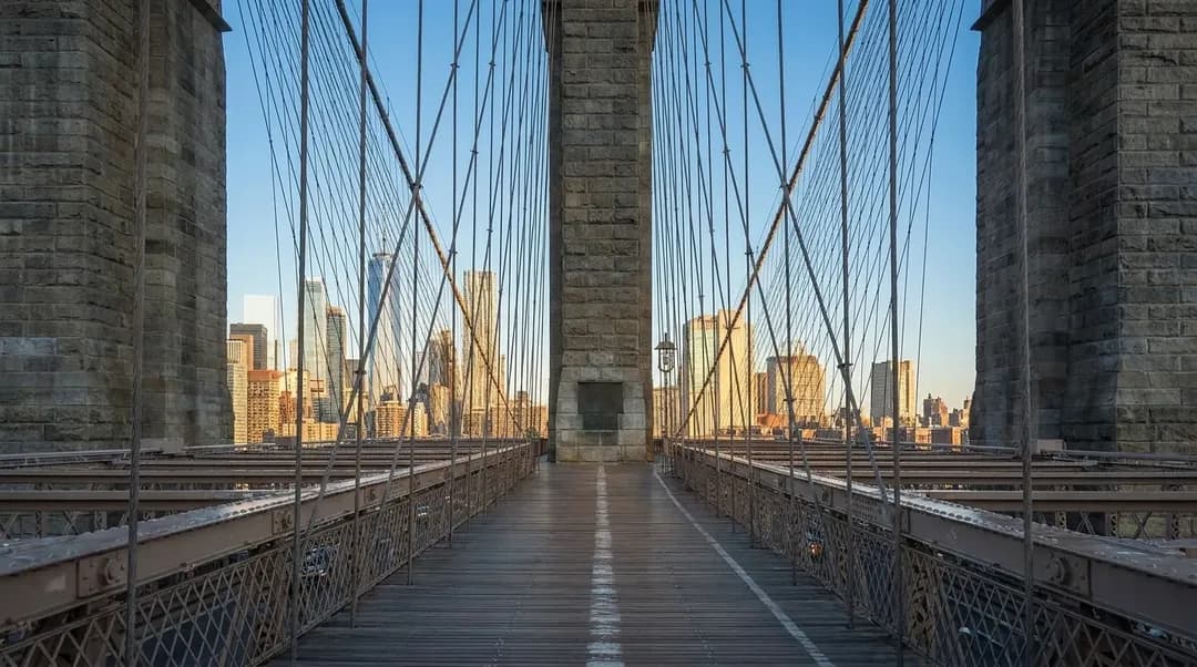
The Brooklyn Bridge pedestrian promenade sits elevated above the roadway, a wooden-planked corridor about sixteen feet wide that runs 1.1 miles between lower Manhattan and Brooklyn. On a weekday at seven in the morning, you'll share it with a dozen joggers and maybe two other tourists. By eleven, especially May through October, that same stretch becomes a slow-moving parade of tour groups, cyclists ringing bells, and people stopping mid-span to frame the skyline. The difference isn't subtle.
Text Karpo before you head out and get a live subway route to the bridge entrance, current pedestrian traffic updates, and a backup plan if weather turns or crowds spike midday.
What the walk actually feels like
The promenade runs down the center, with bike lanes marked on either side—though the separation is painted, not physical, and collisions happen. Cyclists coming from Brooklyn descend a slight grade toward Manhattan, which means they pick up speed exactly where the crowd thickens near the Manhattan tower. Stay aware, keep to the pedestrian zone, and if you're walking with kids, keep them close on that final approach.
Weather changes everything. Summer afternoon heat reflects off the wooden planks and there's no shade; bring water and a hat. Winter wind tunnels through the cable stays, and the bridge sits fully exposed over the East River. Spring mornings, particularly April and early May, offer the most comfortable middle ground—cool enough to walk without overheating, bright enough for clean photos, and outside the peak tourism crush of summer vacation season.
Manhattan to Brooklyn or Brooklyn to Manhattan
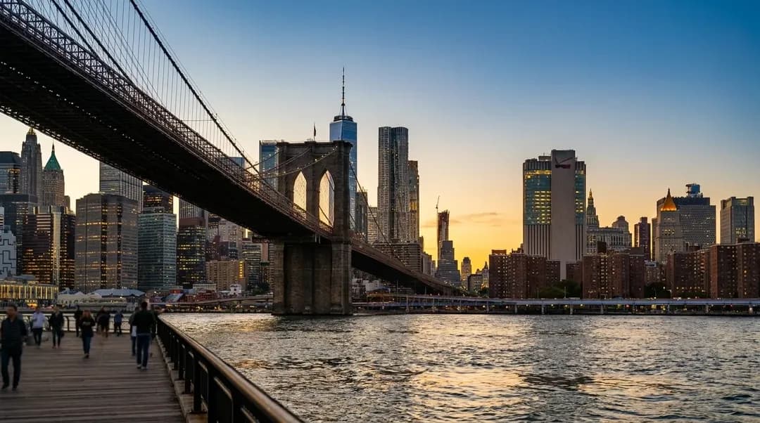
Most people start in Manhattan because it's where the hotels are, but the Brooklyn-to-Manhattan direction gives you the skyline growing in front of you instead of behind. If you care about photos, this matters. The Manhattan skyline—One World Trade, the Woolworth Building, the Financial District towers—fills your frame as you walk west, and the morning light, particularly between 7 and 9 a.m., hits the buildings straight-on.
To start in Brooklyn, take the A or C train to High Street–Brooklyn Bridge, or the 2 or 3 to Clark Street. Both stations put you within a five-minute walk of the bridge entrance at the intersection of Tillary Street and Boerum Place. The ramp up to the promenade is clearly marked, and you'll see other pedestrians heading the same direction. Starting in Manhattan, take the 4, 5, or 6 to Brooklyn Bridge–City Hall; the pedestrian entrance is on the east side of City Hall Park, near Centre Street. The signage is decent, but the park has multiple exits—look for the ramp with the bridge cables visible overhead.
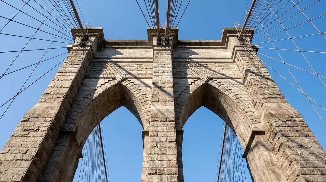
If you start in Manhattan, you're walking with the sun in your eyes in the morning and at your back in late afternoon. That gives you better light on the bridge itself—the cables, the Gothic arches of the towers, the texture of the stone—but the skyline photos will be backlit. If you start in Brooklyn, reverse all of that. For most people, the skyline is the shot they came for, so Brooklyn to Manhattan wins. But if you're staying in lower Manhattan and want to end your walk in Brooklyn for lunch or to explore DUMBO, the reverse works fine.
Timing, crowds, and what it costs you
The Brooklyn Bridge is free to walk, open 24 hours, and owned by the city. No tickets, no reservations, no entry fee. That accessibility is also why it's crowded. The best times to walk the Brooklyn Bridge NYC are before 8 a.m. or after 7 p.m. on weekdays, or very early weekend mornings before 9 a.m. Between 10 a.m. and 5 p.m. daily from May through September, expect shoulder-to-shoulder foot traffic on the promenade, especially near the towers where people stop for photos.
Sunset is popular because the light is warm and the Brooklyn Bridge NYC views are dramatic, but you'll be walking in a crowd. If you time it for about thirty minutes before official sunset, you get good light and slightly fewer people. Check the sunset time for the day you're going; in summer that means starting your walk around 7:45 p.m., in winter around 4:30 p.m. The bridge is well-lit after dark, and the Manhattan skyline glows, but the pedestrian promenade feels more isolated at night—stick with it if you're comfortable walking in a city park after dark, skip it if you're not.
Photo spots: the first clear skyline view appears about a quarter of the mile in from the Brooklyn side, just as you pass the first set of cable stays. This is where most people stop. The center span, directly between the two towers, gives you symmetrical cable lines and equal views of both shorelines. For close-ups of the Gothic arches and stonework, shoot from directly beneath the towers looking up; the light through the arches is best mid-morning or mid-afternoon when the sun is angled. The Manhattan tower, the one closer to the Financial District, has more dramatic backdrops. These are the Brooklyn Bridge NYC photo spots that don't require anything beyond your phone and patience.
Before you walk out the door
Wear comfortable shoes with grip; the wooden planks can be slick if it rained recently, and you're walking over a mile round-trip if you go out and back. If you're planning to explore DUMBO or Brooklyn Heights after crossing, add another mile or two. Bathrooms are available at either end—there's a small park with public restrooms at the Brooklyn end near the intersection of Prospect Street and Washington Street, and City Hall Park has facilities on the Manhattan side—but nothing on the bridge itself.
Subway timing matters more than you'd think. If you're starting in Manhattan and taking the 4, 5, or 6, those trains run frequently during the day but can have longer gaps early morning and late evening. The A and C to Brooklyn run less frequently off-peak, and the transfer at Hoyt-Schermerhorn can add ten minutes if you just miss a connection. Build in buffer time, especially if you're trying to catch sunrise or sunset light. If you're coming from Astoria, take the N or W to Canal Street, then walk east to the bridge entrance—about twelve minutes on foot—rather than transferring to the 4/5/6, which adds an extra subway leg.
The bridge itself is exposed to weather with no shelter. If rain is forecast, wait it out or skip it; wet planks are slippery and the experience isn't pleasant. Wind is a factor year-round but especially November through March. If you're carrying a bag, keep it zipped; the wind can catch loose straps or papers. For photos, shoot in the morning for the best Brooklyn Bridge NYC views of Manhattan, and if you want the bridge structure itself, midday light shows the cables and stone more clearly than golden hour, which can wash out detail.
After you finish, DUMBO has cafés, bookstores, and the Brooklyn Bridge Park waterfront if you ended in Brooklyn. If you ended in Manhattan, walk north through City Hall Park to Chinatown for soup dumplings, or south toward Battery Park if you want to keep walking along the water. The walk itself takes 30 to 40 minutes at a steady pace without stops, closer to an hour if you're pausing for photos. Plan accordingly, and check the weather and train schedules before you leave.
Practical notes
- The bridge is free and open 24 hours; best light and fewest crowds before 8 a.m. or after 7 p.m.
- Start in Brooklyn (A/C to High Street or 2/3 to Clark Street) for skyline-facing photos as you walk west.
- No bathrooms on the bridge; use facilities at City Hall Park (Manhattan) or Prospect/Washington (Brooklyn) before you start.
- Wooden planks can be slick when wet; wear shoes with grip and skip the walk if rain is forecast.
- Bike lane is painted, not separated—stay in the pedestrian zone and watch for cyclists descending toward Manhattan.
- Subway service: 4/5/6 to Brooklyn Bridge–City Hall (Manhattan) or A/C to High Street (Brooklyn); check weekend schedules for service changes.
Tags: #karpo #brooklynbridge #nycwalks #freethingstodonyc #brooklynbridgewalk #nycviews #dumbo #lowermanhattan #nycphotography #walkingtours #brooklynheights #cityviews #newyorkcity #explorenyc #nycfree
Sources consulted: NYC Department of Transportation – Brooklyn Bridge · MTA Subway Service · NYC Parks – City Hall Park
All trademarks are the property of their respective owners.
Ask Karpo first
Text Karpo to get a live subway route to your chosen bridge entrance, current pedestrian crowd levels if it's midday, and weather-aware timing so you're not walking into rain or harsh wind. Karpo will also suggest a café or lunch spot on whichever side you're ending, and reroute you if train delays pop up on your way home.
Ask Karpo for more information.
Keep reading
- Scenic Walking Trail Near Me: Central Park North Woods Ravine and Loch Walk
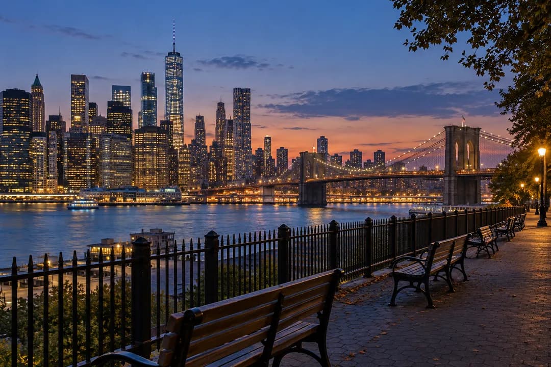 Scenic Viewpoint Near Me: Brooklyn Heights Promenade at Sunset
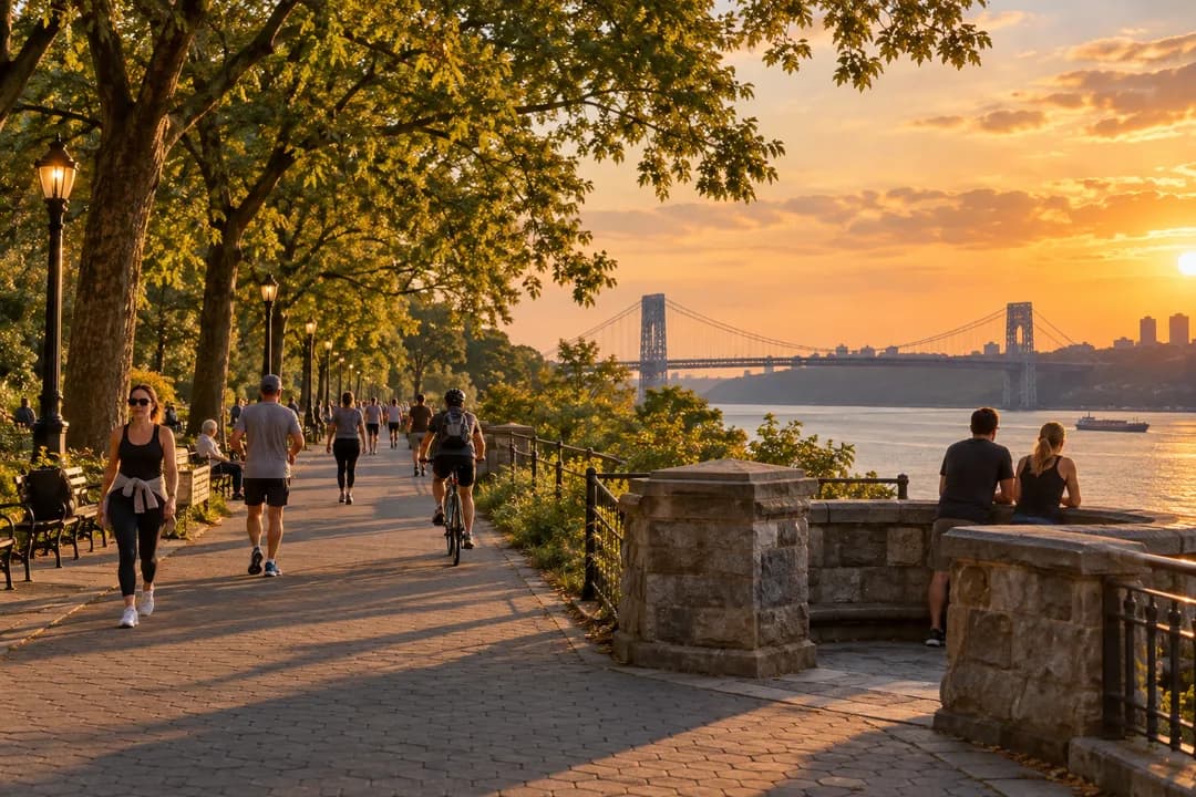 Scenic Viewpoint Near Me: Riverside Park Hudson River Walk