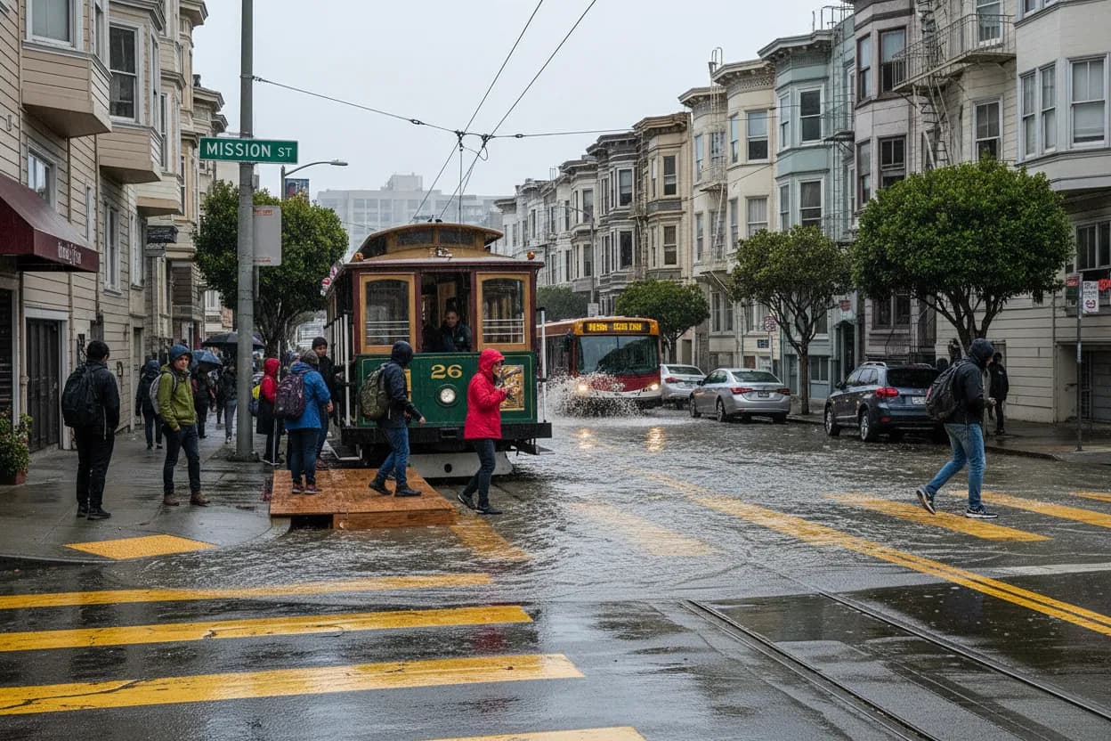
When heavy rains hit San Francisco, certain areas become particularly vulnerable to flash flooding, and the Mission District is often at the top of that list. Its low-lying topography and extensive impermeable surfaces mean that water can accumulate quickly, turning streets into temporary rivers and disrupting public transit. This isn't just an inconvenience; it can be a safety hazard and a major headache for daily commuters and residents. Understanding which transit routes are most affected and having a backup plan is crucial for navigating these challenging conditions. Karpo is here to help you anticipate these issues and make informed decisions, ensuring you can still get where you need to go safely and efficiently, even when the weather turns severe.
Don't get caught off guard! Download this guide to your phone, share it with friends and family, or print it out for a quick reference during flash flood warnings in the Mission District. Being prepared means staying safe and keeping your day on track.

Why the Mission District Floods: Understanding the Risk
The Mission District's susceptibility to flooding stems from a combination of natural and urban factors. Historically, much of the area was marshland, and despite extensive development, its elevation remains lower than surrounding neighborhoods. When intense rainfall occurs, the existing storm drain system, designed decades ago, can quickly become overwhelmed. This is exacerbated by the prevalence of concrete and asphalt, which prevent water from soaking into the ground. Instead, it runs off into streets, accumulating in key intersections and low points. These conditions mean that even a moderate flash flood warning can significantly impact mobility, making it essential to have a clear understanding of the 'why' behind the 'what' when planning your transit.
Key Transit Routes to Avoid During Flash Floods
During flash flood warnings, certain transit routes in and around the Mission District are notorious for becoming impassable or severely delayed. These usually involve segments of streets that are prone to pooling water. While specific closures can vary with each event, historical data points to recurring problem areas. Always check official sources like SFMTA and BART for real-time updates on route changes and service interruptions. Relying on your usual route without verifying its status during a flood warning is a recipe for frustration and potential safety risks.
- <b>Mission Street (between 16th and 24th Streets):</b> This central artery often experiences significant water accumulation, especially at intersections with cross streets like 17th, 18th, and 20th. Buses on this route are frequently rerouted or delayed.
- <b>Valencia Street (between 16th and 22nd Streets):</b> Similar to Mission Street, Valencia's lower points can become submerged, impacting bus lines and making pedestrian travel difficult.
- <b>Potrero Avenue (near 16th Street and surrounding areas):</b> Given its proximity to low-lying industrial zones, parts of Potrero can see substantial flooding, affecting both vehicle and bus traffic.
- <b>BART Stations (16th Street Mission and 24th Street Mission):</b> While BART trains themselves are underground, access points and stairwells can experience localized flooding, and station entrances might be temporarily closed or difficult to reach. Always verify station status directly with BART.
- <b>Underpasses and Tunnels:</b> Any underpass in the vicinity, particularly those connecting to major thoroughfares, should be considered high-risk for severe pooling and should be avoided unless verified clear by official reports.
Your Backup Transit Plan for the Mission District
Having a contingency plan is your best defense against flood-related transit disruptions. This involves identifying alternative routes, modes of transport, and staying informed. Think about your most frequent destinations and map out at least two alternative ways to get there that avoid known flood zones. Remember, flexibility is key during these events.
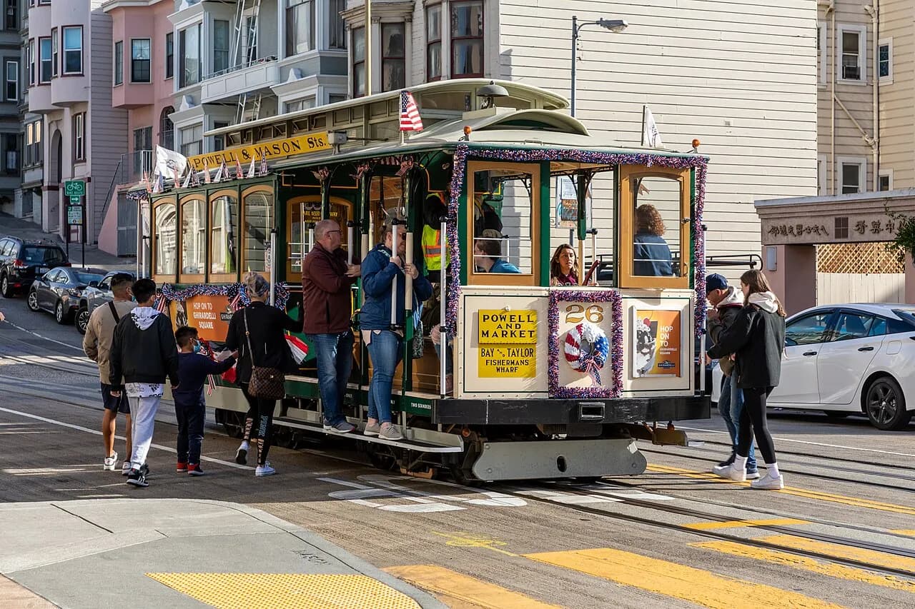
- <b>Elevated Bus Routes:</b> Look for bus lines that primarily run on higher ground or along streets less prone to flooding. For example, consider routes that utilize streets like Dolores Street or Guerrero Street, which generally sit on higher elevation than Mission or Valencia. Check SFMTA's website for real-time bus tracking and reroute alerts.
- <b>BART as a Primary Alternative:</b> If above-ground transit is severely impacted, BART can be a lifesaver. Ensure you know how to access stations that are less likely to be affected by street-level flooding. Verify station status and schedule changes directly on the BART website or app.
- <b>Muni Metro (Light Rail):</b> While some Muni Metro lines have street-level segments, many operate underground. Familiarize yourself with routes like the J, K, L, M, N, and T lines and their underground portions. Check SFMTA for service alerts.
- <b>Ride-Sharing/Taxis (with caution):</b> While these can be an option, expect surge pricing and significant delays during flood events. Drivers may also avoid flooded areas, so communicate your destination clearly and be prepared for longer travel times.
- <b>Walking (if safe):</b> For shorter distances, walking might be an option, but only if paths are clear and safe. Avoid walking through standing water, as it can hide hazards like open manholes or debris. Always prioritize personal safety over speed.
- <b>Work-From-Home/Delay Travel:</b> If possible, consider adjusting your schedule to work from home or delay non-essential travel until flood warnings subside. Your safety is paramount.
Staying Informed: Essential Resources for Real-Time Updates
The most effective way to navigate flood warnings is to have up-to-the-minute information. Do not rely on anecdotal evidence or outdated information. Always consult official and live sources for the most accurate details regarding weather conditions, transit disruptions, and road closures. These resources are designed to provide timely updates that can directly impact your travel plans.
- <b>National Weather Service (NWS) San Francisco Bay Area:</b> For the latest flash flood watches and warnings. Their website and social media channels are invaluable.
- <b>SFMTA (San Francisco Municipal Transportation Agency):</b> Check their official website (sfmta.com), Twitter feed (@sfmta_muni), or the MuniMobile app for real-time bus and Muni Metro alerts, detours, and service changes.
- <b>BART (Bay Area Rapid Transit):</b> Visit bart.gov or use the BART Official app for service advisories, station status, and schedule modifications.
- <b>511.org:</b> A comprehensive resource for Bay Area traffic, transit, and weather information. You can customize alerts for your specific routes.
- <b>Local News Outlets:</b> Many local news stations (e.g., KRON4, ABC7, KPIX) provide live coverage and updates during significant weather events. Their websites and apps often have dedicated sections for storm alerts.
Before You Go: Pre-Departure Checklist
A few simple checks before you leave can save you a lot of trouble. This pre-departure routine should become second nature during periods of heavy rain or flood warnings. It's all about proactive safety and efficient travel.
- <b>Check Weather Alerts:</b> Confirm if there are any active flash flood warnings or advisories for San Francisco, particularly the Mission District.
- <b>Verify Transit Status:</b> Use the official resources mentioned above to check the real-time status of your preferred transit lines and stations.
- <b>Review Your Backup Route:</b> Ensure your alternative transit plan is still viable and not affected by new closures.
- <b>Charge Your Phone:</b> A charged phone is essential for navigation, communication, and accessing real-time updates.
- <b>Pack Essentials:</b> Consider bringing a waterproof jacket, umbrella, and waterproof shoes if you anticipate walking. A portable charger can also be very useful.
- <b>Inform Others:</b> Let family or friends know your planned route and estimated arrival time, especially if conditions are severe.
Staying prepared and informed is your best defense against the challenges posed by flash floods in the Mission District. By understanding the risks, knowing which routes to avoid, and having a solid backup plan, you can navigate even the toughest weather conditions with confidence. Your safety and peace of mind are Karpo's top priorities.
Tags: #weather_utility #san-francisco #local_guide
Sources consulted: City and County of San Francisco · SFMTA · San Francisco Travel · Reference photo: File:San Francisco (CA, USA), Mason Street, Cable-Car-Haltestelle -- 2022 -- 2947.jpg by Dietmar Rabich, CC BY-SA 4.0
All trademarks are the property of their respective owners.


