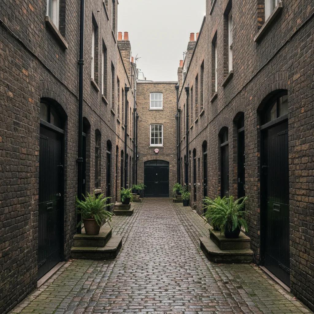
 Bloomsbury Mews Walk Planner: Literary Brick Passages
Neighborhood Guides
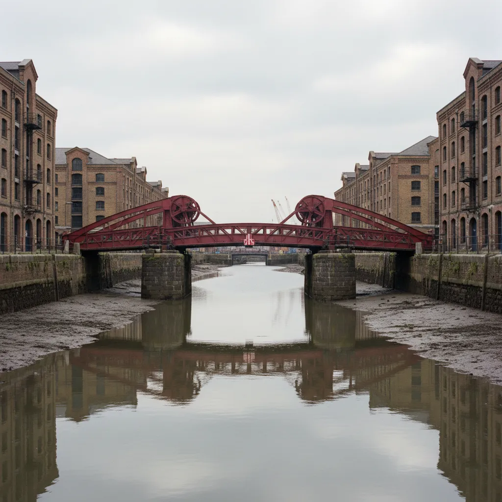
Scenic Canal Bridge Route Linking South Bank And Bermondsey
A scenic canal bridge route in London from the South Bank to Bermondsey, crossing the Millennium Bridge, passing Tower Bridge and St Saviour's Dock footbridge.
London's South Bank has no canal of its own, so this scenic canal bridge route borrows the next best thing: the Thames, its famous crossings and the old dock inlets that once let ships tie up right against the warehouses. Walking east from the South Bank to Bermondsey, you pass several of the river's best-known bridges, cut through the lanes of Shad Thames and finish at a small footbridge over St Saviour's Dock, the most canal-like corner of the whole river.

The walk follows the Thames Path along the south bank, so the route is easy to hold even without a map. Every few minutes the view across the water changes: St Paul's Cathedral, the towers of the City, the Tower of London, then the warehouses of Wapping on the far shore. Plan on a relaxed two hours with stops, longer if you get pulled into a market or a gallery on the way.
It works in any season, but autumn and winter afternoons are especially good. The low sun lights the north bank, the crowds thin out after the summer, and by the time you reach Bermondsey the riverside lamps are coming on.
Starting Point: The Millennium Bridge
Begin at the southern end of the Millennium Bridge, in front of Tate Modern. The steel footbridge opened in 2000, gained the nickname the wobbly bridge when it swayed under its first crowds and was closed for modifications before reopening in 2002. Walk out to the middle for the straight-line view north to St Paul's, then come back to the south bank to start heading east.
The stretch from here toward Southwark Bridge and London Bridge is the busiest part of the route. Shakespeare's Globe sits right on the river path, and the narrow lanes behind it lead toward Southwark Cathedral and Borough Market if you want a detour for food before the quieter half of the walk.
Passing under London Bridge, look across to the north bank for a sense of how much the river front has changed. The working wharves that once lined this stretch are now offices, apartments and walkways, but the shape of the river and the bridges still follows the old pattern of the port.
Hay's Galleria and HMS Belfast
Just past London Bridge, Hay's Galleria is worth stepping into. It sits on the site of Hay's Wharf, and the covered arcade was built over what had been an enclosed dock where ships unloaded tea and other cargo. Standing inside, you are effectively walking on a filled-in inlet, which makes it a fitting stop on a route about bridges and waterways.
A little further on, HMS Belfast is moored in the river, a Second World War cruiser now run as a museum ship. Even if you do not go aboard, the grey hull alongside the path gives a strong sense of scale before you reach the next landmark.
From here the view ahead fills with Tower Bridge. Opened in 1894, it is a combined bascule and suspension bridge, and its two towers and high walkways make it the most recognisable crossing on the Thames. If you have time, cross it and come back, or simply walk beneath the southern approach and keep heading east.
Shad Thames and Its Overhead Walkways
East of Tower Bridge the path drops into Shad Thames, a narrow street of former warehouses with iron walkways strung between the buildings high overhead. These gantries were used to move goods between the riverside warehouses and the stores behind them. Today the buildings are flats, restaurants and shops, but the canyon-like street still feels like the old docks.
Butler's Wharf faces the river along this stretch, and its long brick frontage is one of the best-known warehouse conversions in London. Walk the riverfront first for the view back to Tower Bridge, then cut inland through Shad Thames to see the walkways from below.
This part of the route is quietest in the morning and early evening. In the middle of the day the riverside terraces fill up, which can be fun, but if you want the street to yourself for photographs, time your arrival around the edges of lunch.
St Saviour's Dock and Jacob's Island
At the eastern edge of Shad Thames, the river path reaches St Saviour's Dock, a tidal inlet that runs inland between tall converted warehouses. It marks the mouth of the River Neckinger, one of London's lost rivers, and at low tide you can see the mud and old timbers at the bottom of the inlet. A modern footbridge carries the Thames Path across the mouth of the dock, and it is the closest thing to a canal bridge on this side of the river.
Stop in the middle of the footbridge and look inland. The view up the narrow dock, with warehouses on both sides and boats resting on the mud, is one of the most atmospheric in the area. On the other side, the river opens out toward Wapping and the long reach downstream.
The land just east of the dock was once Jacob's Island, a notorious riverside slum that Charles Dickens used as the setting for the death of Bill Sikes in Oliver Twist. Little of that grim history is visible now, but knowing it makes the clean apartment blocks feel all the more transformed.
Practical Notes
London Bridge Station is the most convenient start if you want to skip the first section, and Bermondsey Station on the Jubilee line is a short walk inland from the end of the route. Southwark and Blackfriars stations are both handy for the Millennium Bridge end.
The Thames Path is paved throughout, but some sections narrow between buildings and a few steps and ramps break up the level, so allow extra time with buggies or wheels. Keep left on the busy stretches near Borough and Tower Bridge, and give runners and cyclists room where the path is shared.
Bring a layer even on a mild day, since the wind off the river is often colder than it feels in the streets behind. Rain is not a reason to cancel. Hay's Galleria and the covered arcades of Shad Thames give you places to wait out a shower.
For a longer day, continue east past the dock along Bermondsey Wall toward Rotherhithe, or turn inland to the Bermondsey Street area for a meal. Either way, the stretch you have just walked is a compact lesson in how London's river and docks shaped the city.
Use the Karpo APP to keep this walk in your plans and pair it with a lunch stop or an evening out near London Bridge. It is a route that rewards repeat visits at different tides and in different light.
Ask Karpo for more information.
Keep reading
- Bloomsbury Mews Walk Planner: Literary Brick Passages
 Belgravia Mews Walk Planner: Stucco Arches and Alleys
 Notting Hill Mews Walk Planner: Quiet Painted Lanes