 Bloomsbury Mews Walk Planner: Literary Brick Passages
Neighborhood Guides
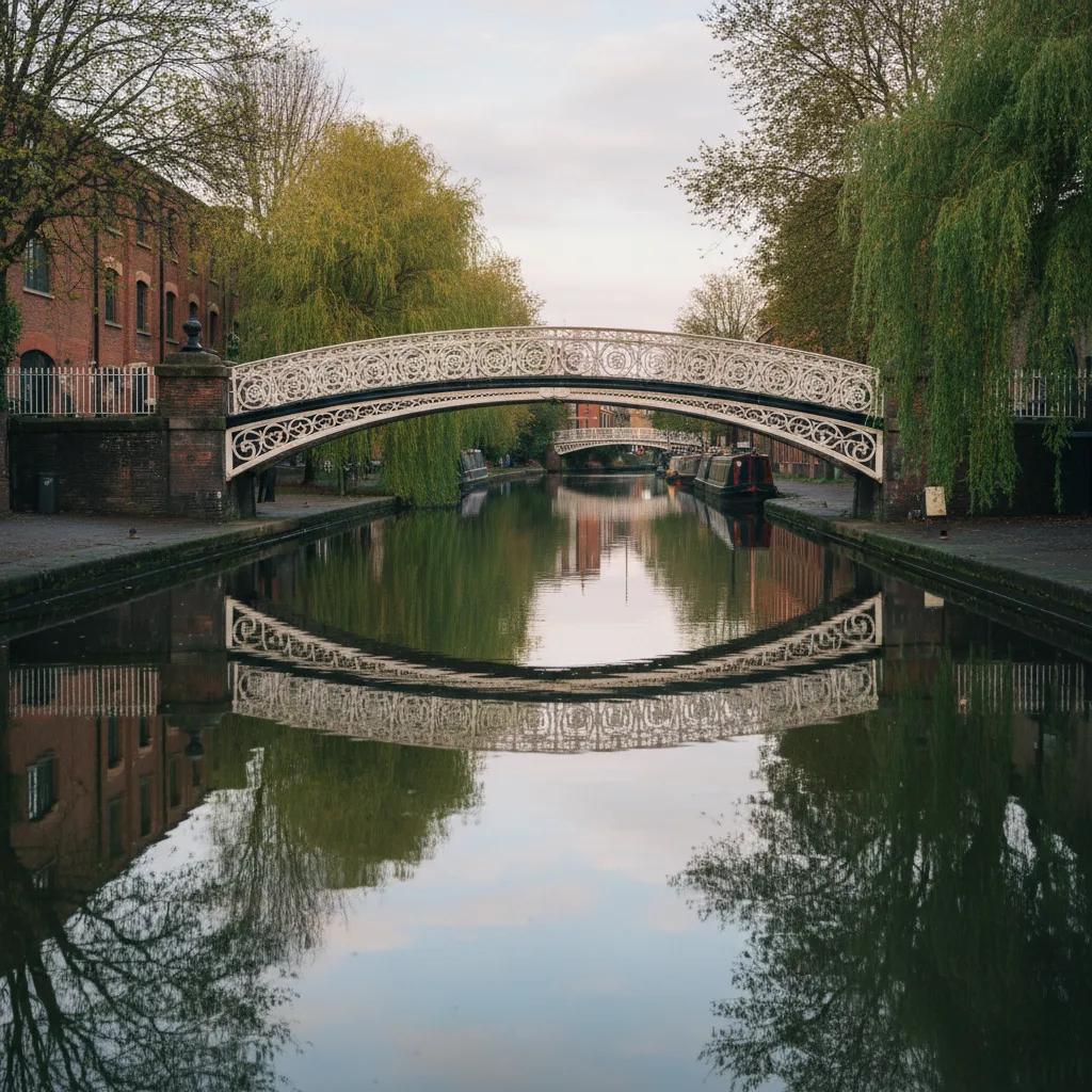
Scenic Canal Bridge Route From Notting Hill To Kensal Green
A scenic canal bridge route in London from Portobello Road to the Paddington Arm towpath, past Trellick Tower to Kensal Green Cemetery, back via Golborne Road.
Most visitors to Notting Hill stop at the pastel houses and the antiques stalls of Portobello Road, but keep walking north and the neighbourhood runs into a quiet stretch of canal. This scenic canal bridge route makes a loop out of it. You walk up Portobello Road, join the Paddington Arm of the Grand Union Canal near Ladbroke Grove, follow the towpath west past Trellick Tower to the walls of Kensal Green Cemetery and return through the cafes of Golborne Road.
The loop suits a relaxed half day. The canal section is calm and green, the market streets are lively, and you can swap the order depending on whether you want the crowds first or last. A Saturday brings the full Portobello market, while a weekday makes the streets far easier to walk.
Up Portobello Road
Begin near Notting Hill Gate and wander down into Portobello Road. The southern end is lined with antiques shops and colourful terraces, and as you continue north the stalls shift toward fruit and vegetables, then food, clothes and second-hand goods.
Pass under the Westway, the elevated road that cuts across the area, and the market takes on a more local feel. The space beneath the flyover has been used for stalls, sports and community projects for years, and it is a good place to see the neighbourhood that lives here rather than the one in the films.
Keep heading north through the residential streets until you reach Ladbroke Grove. The road crosses the canal just to the north, and from the bridge you get your first view along the water.
Joining the Paddington Arm
The Paddington Arm is a branch of the Grand Union Canal that runs from Little Venice west through north-west London. It opened in 1801, which makes it older than Regent's Canal, and it was built to bring goods into the edge of the city.
From the canal's point of view, Notting Hill sits right on the edge of the network. Barges once brought coal, building materials and other goods along this arm toward the growing districts of west London, and the canal helped to shape the streets that grew up around it, even if few people now think of the area as a canal neighbourhood.
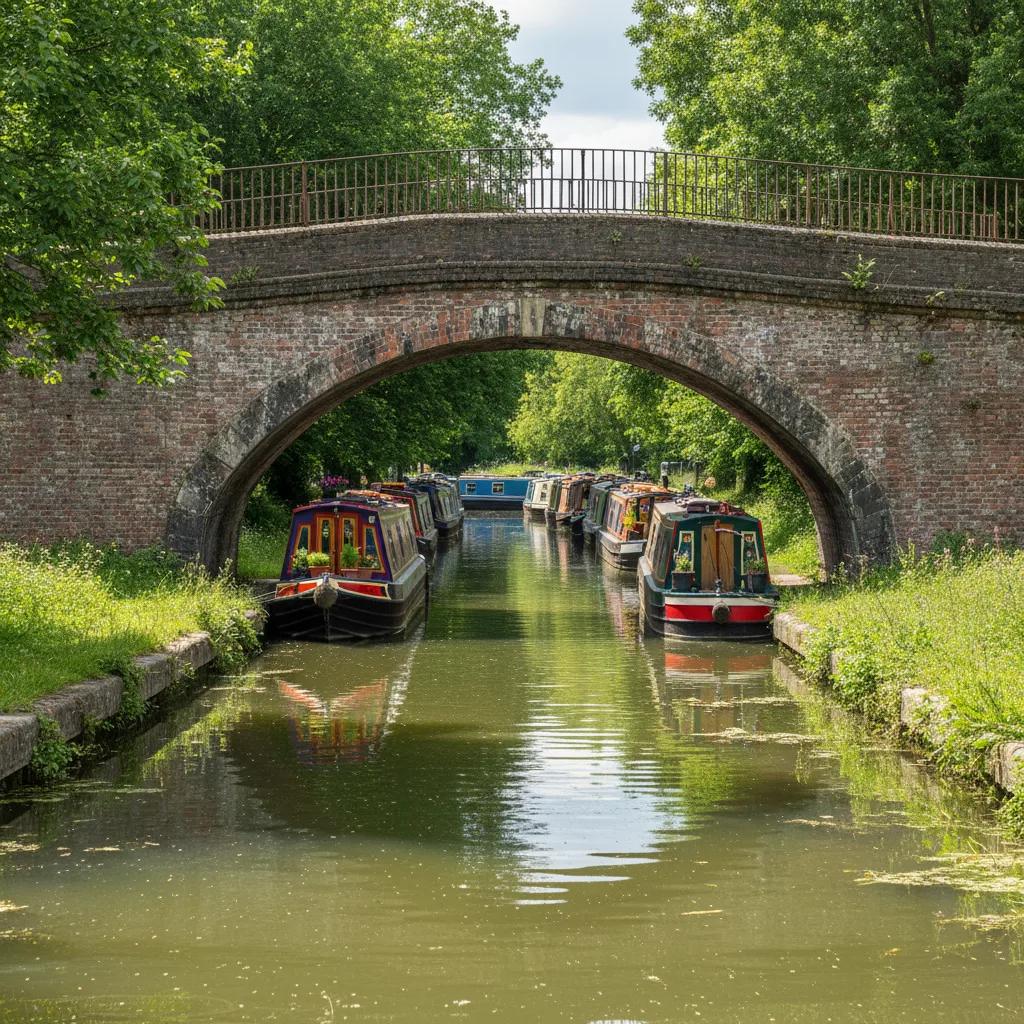
Drop onto the towpath and turn west. The canal here runs past moored narrowboats, small gardens and old industrial sites now used for housing and studios. It is quieter than the more famous stretches near Camden, and on a weekday you may share it only with a few runners and cyclists.
Meanwhile Gardens, a community garden that slopes down to the water, sits beside this stretch of canal. Its winding paths, wildlife areas and small skate bowl give a sense of how local people have reclaimed land along the waterway.
Spend a few minutes in the garden before moving on. Benches look out over the canal, and the mix of wild planting and children's play areas makes it a good place to pause, especially if you are walking with a family. It is a small green space, but it gives this part of the towpath a strong local character.
Trellick Tower and the Canal Views
Rising above the canal is Trellick Tower, the concrete tower block designed by Ernő Goldfinger and completed in the early 1970s. Its separate service tower, linked to the main block by walkways, makes it one of the most recognisable modern buildings in London, and the canal is one of the best places to see it.
Walk a little further and look back. The tower stands over the water, framed by boats and trees, and the contrast between the brutalist block and the old canal makes for one of the most striking views on the route.
Along this stretch, the canal passes under several bridges carrying roads and railways. Some are simple brick arches, others iron or concrete spans, and each one gives a different frame for photographs back toward the tower.
The light changes the scene through the day. In the morning, the sun catches the eastern faces of the buildings and the water is often still. Late in the afternoon, the tower and the bridges cast long shadows across the canal, and in autumn the trees along the bank add warm colour to the grey concrete and brick.
Kensal Green Cemetery
Continue west and the high wall of Kensal Green Cemetery appears along the canal. Opened in 1833, it was the first of London's seven great Victorian garden cemeteries, often called the Magnificent Seven, and it still has grand monuments, mausoleums and tree-lined avenues.
The cemetery is a working cemetery as well as a historic site, so treat it with respect. If you go inside, walk quietly, stay on the paths and give space to anyone visiting a grave.
Even from the towpath, the cemetery adds a sense of history to the walk. The tops of monuments and old trees show above the wall, and the quiet of the place carries over the water. It is a reminder of how Victorian London planned for its growing population, with the canal and the cemetery laid out on what was then the edge of the city.
This is the natural turning point of the loop. From here you can leave the canal and head back toward Notting Hill through the streets, or retrace your steps along the towpath for a second look at the bridges and the tower.
Back via Golborne Road
Return toward Notting Hill by way of Golborne Road, a lively street known for its Portuguese and Moroccan cafes and food shops. It is a good place to stop for coffee, a pastry or a simple lunch before finishing the loop.
From Golborne Road, the streets lead back down to Portobello Road and the southern end of the market, closing the circuit.
Practical Notes
Notting Hill Gate station is the usual starting point, and Ladbroke Grove and Westbourne Park stations are both close to the canal. Kensal Green station is near the cemetery if you want to end there instead of walking back.
The streets are mostly level, and the towpath is flat but can be uneven or narrow in places, especially under bridges. Wear comfortable shoes and allow extra time if the market is busy.
Share the towpath with care. Give way to cyclists and runners, keep children away from the edge and be respectful of the people living on the moored boats.
Save this loop in the Karpo APP and use it to plan a slower day in west London, adding market browsing on Portobello Road or a long lunch on Golborne Road. It is a route that shows the quieter, more local side of Notting Hill alongside one of its most interesting waterways.
Ask Karpo for more information.
Keep reading
- Bloomsbury Mews Walk Planner: Literary Brick Passages
 Belgravia Mews Walk Planner: Stucco Arches and Alleys
 Notting Hill Mews Walk Planner: Quiet Painted Lanes