 Bloomsbury Mews Walk Planner: Literary Brick Passages
Neighborhood Guides
Marylebone Post Work Route Planner: Park Before Dusk
Marylebone High Street runs north towards Regent's Park, giving desk workers a calm 45-minute loop. End at Baker Street or Bond Street for the trip home.
Marylebone High Street runs for roughly half a mile from near Wigmore Street up towards Marylebone Road, and walking it end to end then crossing into Regent's Park takes about fifteen minutes. That short distance is why a Marylebone post work route planner works so well: you can leave an office near Oxford Street or Harley Street, be among the trees of a royal park within a quarter of an hour, and still finish at a major station before seven.
Four Stations, Four Directions Home
Baker Street sits at the north-west corner and is one of the best-connected stations on the Underground, served by the Bakerloo, Circle, Hammersmith and City, Jubilee and Metropolitan lines. Regent's Park station, at the north-east corner, is a small Bakerloo stop. Bond Street on the southern edge has the Central, Jubilee and Elizabeth lines, and Marylebone station, just west of Baker Street, has Chiltern trains towards Buckinghamshire and Oxfordshire.
So the shape of your evening depends on your line. A Chiltern or Metropolitan line commuter naturally ends at the north-west corner; an Elizabeth or Central line commuter will want to drift back south to Bond Street. Settle that before you leave the office, because the two finishes pull the walk in opposite directions.
The High Street, Done Slowly
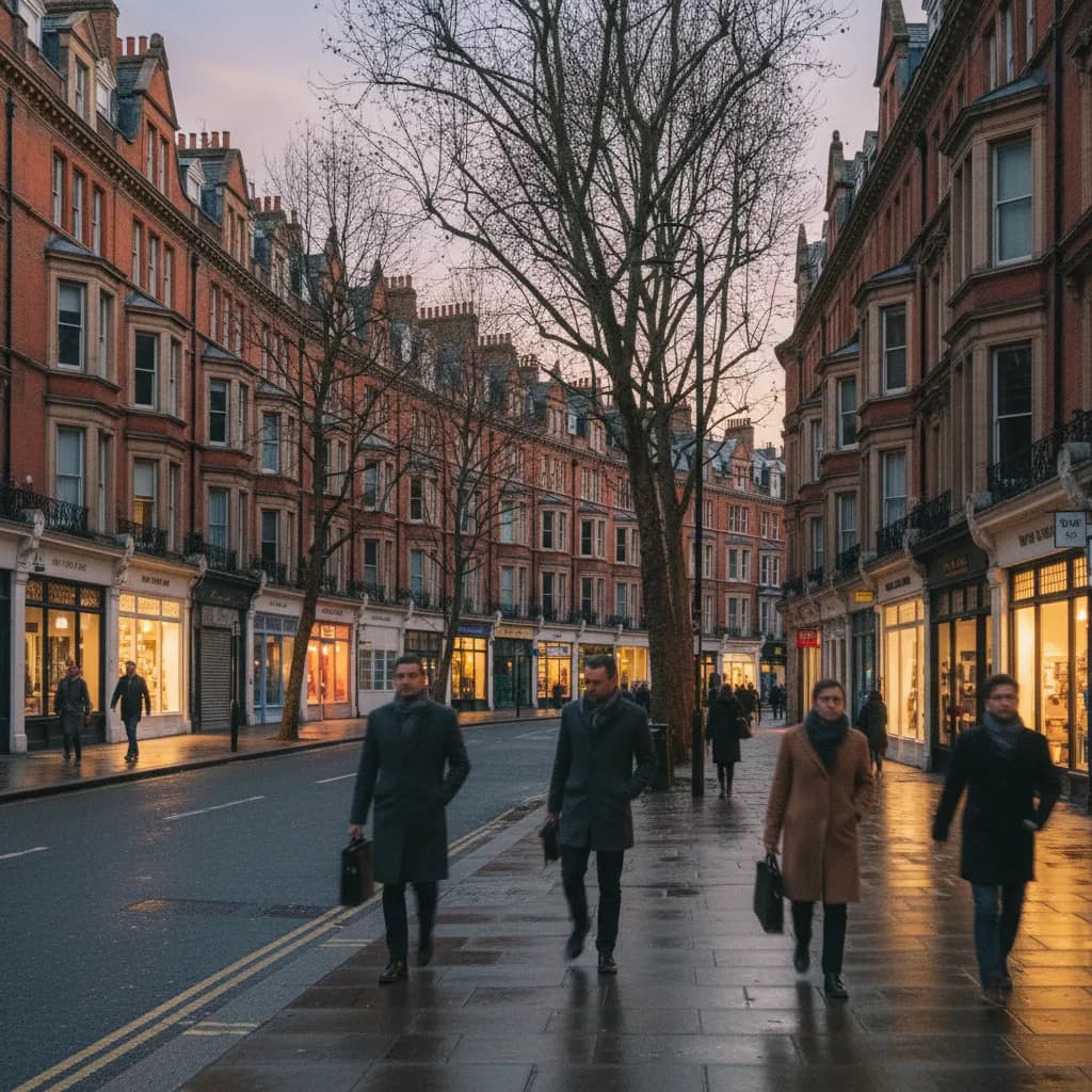
Marylebone has a village feel that is unusual this close to Oxford Street. The High Street curves gently, which hides the far end and makes it feel smaller than it is, and the buildings are mostly tall Victorian red-brick mansion blocks with shops at street level. After work, the pavements are busy but not crowded, and it is a pleasant place simply to walk without a destination for the first ten minutes.
Look out for the little side streets that branch off it. Moxon Street, Aybrook Street and Paddington Street lead west towards quieter residential blocks, and New Cavendish Street runs east towards Harley Street with its rows of brass doctors' plaques. A zigzag through two or three of these adds five minutes and makes the walk feel less like a commute.
Paddington Street Gardens
Paddington Street Gardens is the neighbourhood's best-kept secret for a pause: a pair of small public gardens either side of Paddington Street, laid out on what was once a burial ground. There are benches, mature trees and a children's play area on one side, and it is rarely busy after office hours. On a mild evening, ten minutes on a bench here gives you the decompression a longer walk would.
It is also an easy meeting point if you are joining a friend coming from Baker Street, because it sits roughly between the station and the High Street. Saying "the gardens on Paddington Street" is far less ambiguous than "the top of the High Street".
Into Regent's Park
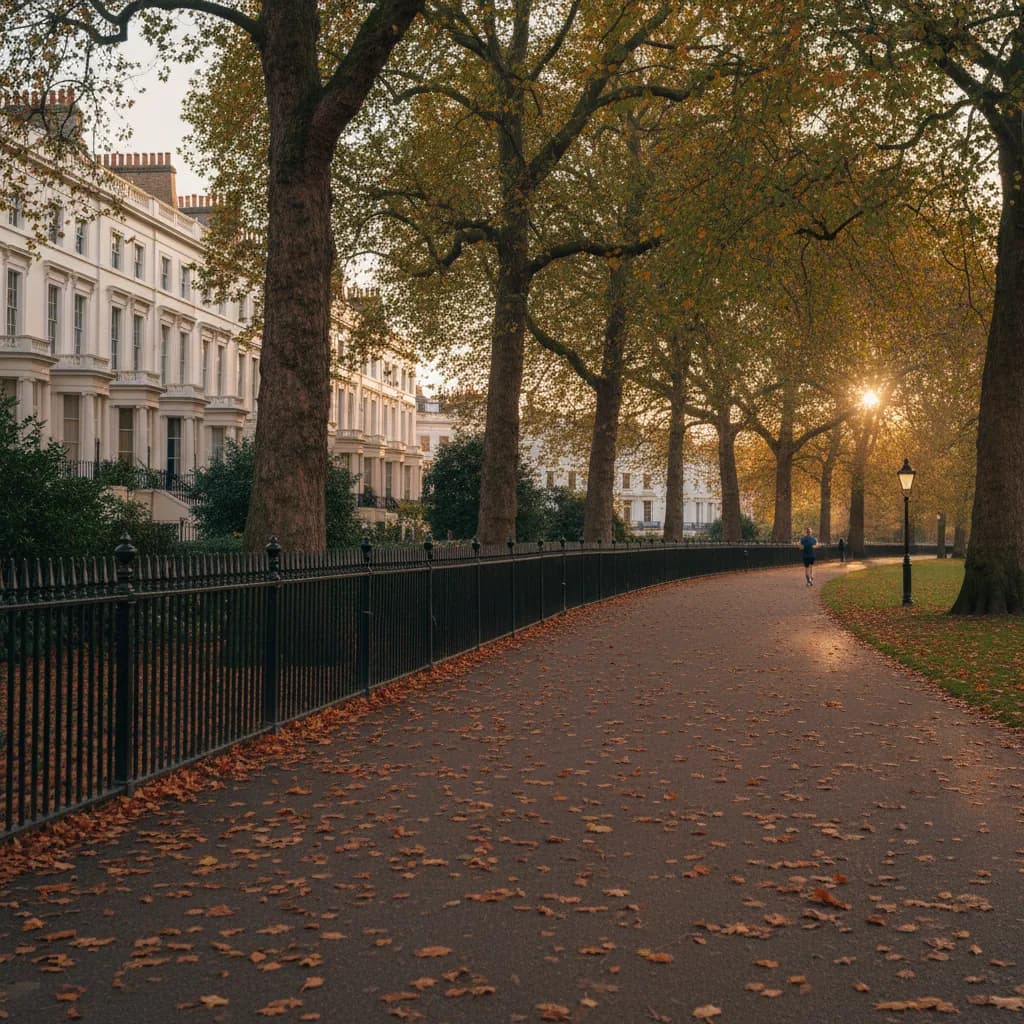
At the northern end, cross Marylebone Road and walk up through Park Crescent or along York Gate towards the park. Regent's Park is surrounded by John Nash's cream stucco terraces and the Outer Circle road, and from the southern gates Queen Mary's Gardens, home to the rose garden, are about ten minutes' walk into the Inner Circle. Note that the park closes at dusk, which in midwinter can be before half past four, so in the darker months this part of the walk only works on summer evenings.
That is our honest judgement on timing: from November to February, skip the park and keep the walk on the streets. From late spring to early autumn, the park is the highlight, and a lap of the boating lake or the Inner Circle on a long evening is one of the best free things you can do after work in central London.
Wigmore Street and the Southern Edge
If you are ending at Bond Street, the last ten minutes matter more than they seem. Oxford Street around the station is one of the most crowded pavements in Europe at rush hour, so approach from the north instead. Wigmore Street runs parallel to Oxford Street one block up and is far calmer, and the little pedestrian lanes of St Christopher's Place and James Street lead down to the station entrances without forcing you onto the main road until the very last moment.
This also works in reverse at the start of the evening: if your office is on Oxford Street, cross to Wigmore Street immediately and begin walking north from there.
How to Use Karpo Here
Karpo helps with the stops. In the Karpo APP, you might write: leaving work near Cavendish Square at half five, heading home on the Elizabeth line from Bond Street, about an hour, want a short walk and then a quiet place to eat. Karpo suggests places along the High Street and side streets and an order that brings you back towards Bond Street at the end.
Karpo does not check how busy a place is right now or book tables, and it is not a live travel app. Use the shortlist to decide, check details on the venues' own websites, and use TfL for line status. If the first choice does not work out, ask Karpo for something close to the station rather than starting over.
Two Sample Evenings
Winter, forty-five minutes: Bond Street station, north up James Street and Marylebone Lane, along the High Street, ten minutes in Paddington Street Gardens, then Baker Street station. Summer, ninety minutes: Bond Street, High Street, Park Crescent, a loop through Queen Mary's Gardens and the boating lake, and a relaxed dinner suggested by Karpo near Baker Street before a train or Tube home.
Practical Notes
Marylebone Road is a fast, wide road with long waits at the crossings, so build in a couple of minutes at the top of the High Street. Baker Street station is large and has many entrances; check which platforms you need before diving in. If it rains, the shopfront awnings along the High Street make a shorter street route bearable, and you can ask Karpo for indoor options within a few minutes' walk of your exit.
Ask Karpo for more information.
Keep reading
- Bloomsbury Mews Walk Planner: Literary Brick Passages
 Belgravia Mews Walk Planner: Stucco Arches and Alleys
 Notting Hill Mews Walk Planner: Quiet Painted Lanes