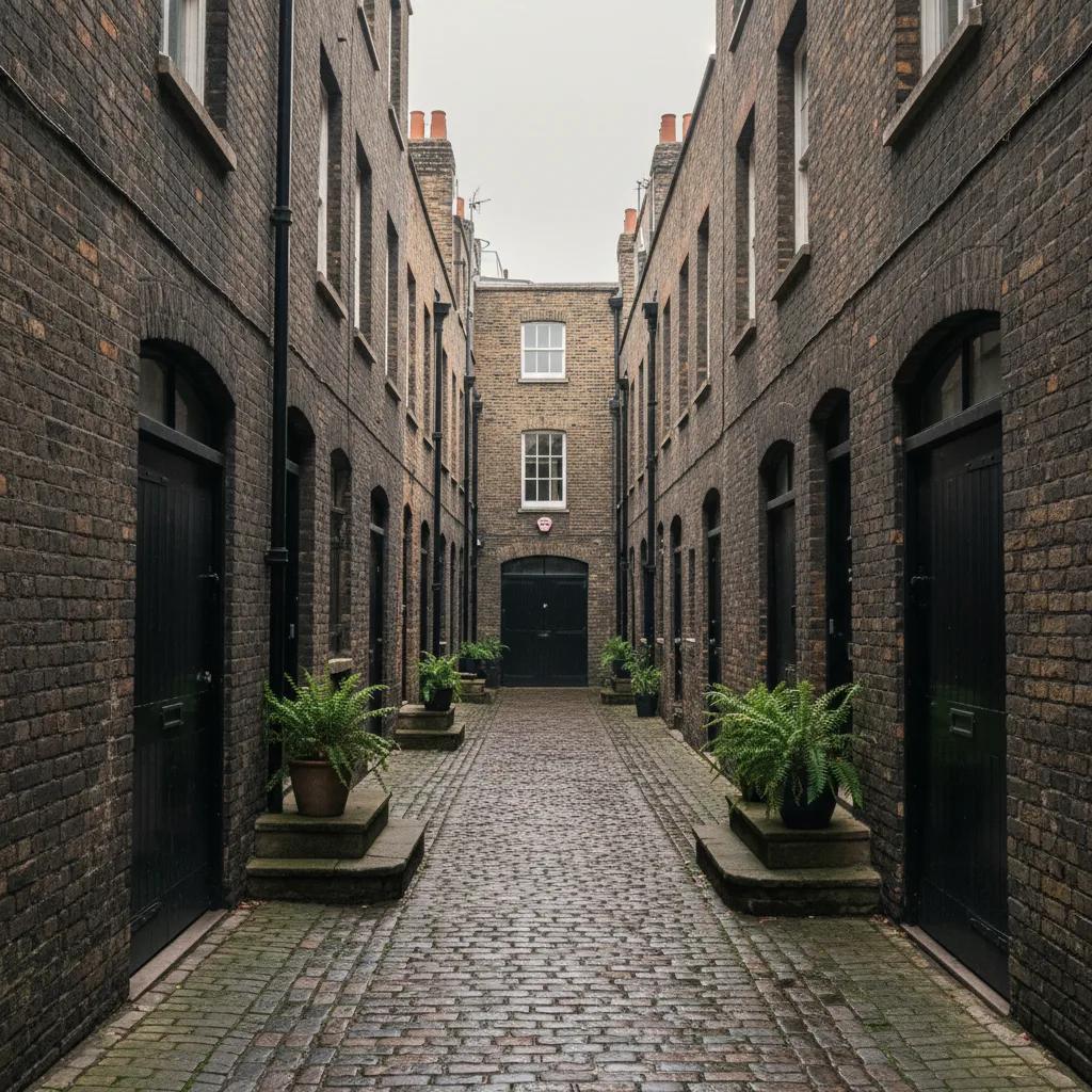
 Bloomsbury Mews Walk Planner: Literary Brick Passages
Neighborhood Guides
Bloomsbury Historic Alleyway Heritage Walk by Russell Square
Follow Georgian colonnades, quiet stable lanes, and historic literary passages across this self-guided historic alleyway heritage walk around Bloomsbury.
Bloomsbury presents an exceptionally orderly Georgian urban fabric renowned for its grand garden squares, yet hidden behind these palatial brick terraces lies an intricate secondary network of pedestrian colonnades, carriage mews, and literary passages. Established largely during the eighteenth and nineteenth centuries on the Bedford and Foundling estates, these tucked-away corridors served the daily service logistics of aristocratic townhouses. Embarking on this historic alleyway heritage walk reveals early nineteenth-century shopping promenades, cobblestone stable entries, and secluded residential courts that provided quiet solace to generations of writers, academics, and publishers.
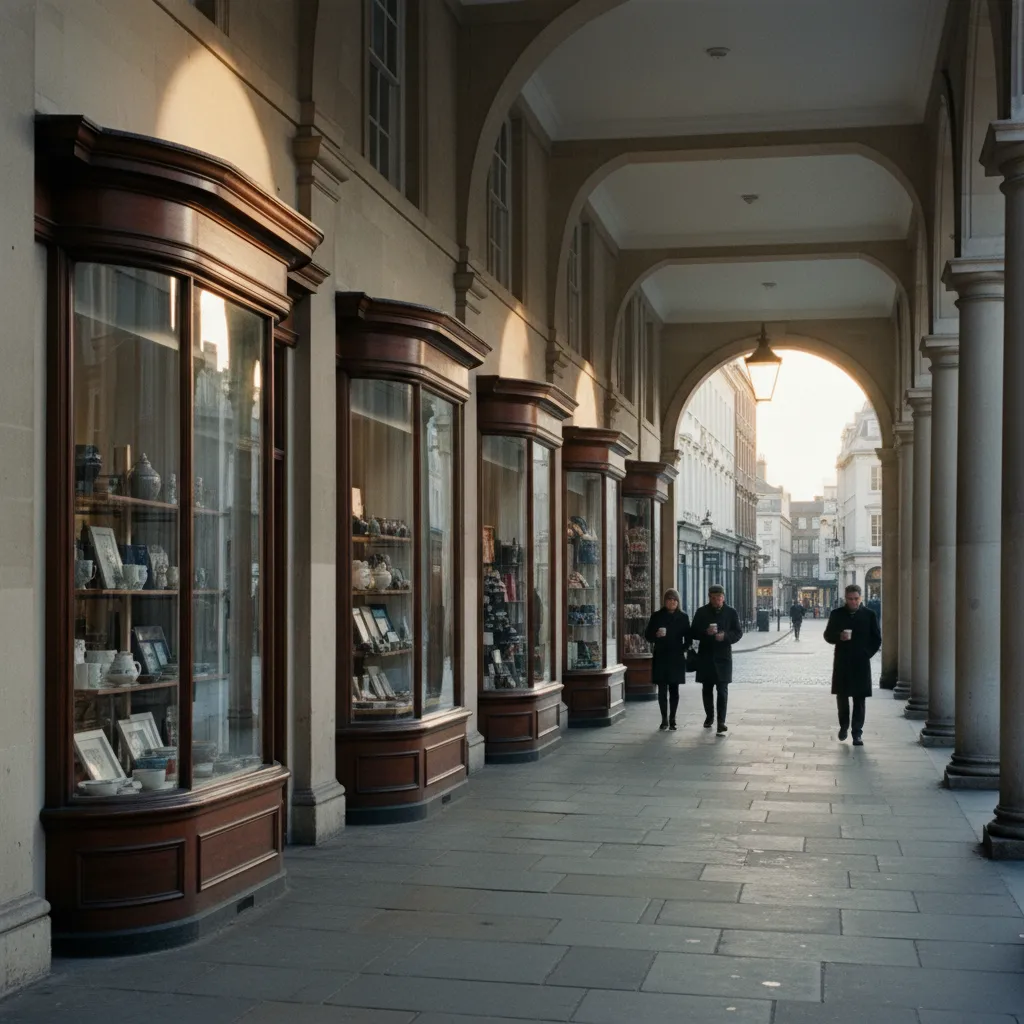
Woburn Walk and London's Pioneering Pedestrian Arcade
Woburn Walk represents London's earliest purpose-built pedestrian shopping street, conceived and constructed in 1822 by master builder Thomas Cubitt. Flanking both sides of a paved flagstone walkway, two-story Georgian shopfronts exhibit matching bow windows with delicate glazing bars, classical wooden pediments, and gilded shop signage. Celebrated Irish poet W.B. Yeats made his home on the second floor of No. 5 between 1895 and 1919, hosting famous Monday evening literary salons attended by Ezra Pound and T.S. Eliot. The street retains an extraordinarily peaceful ambiance, isolated from the heavy traffic of Upper Woburn Place, with cast-iron brackets overhead and ornamental timber cornices framing every storefront.
The Colonnade and Historic Horse Carriage Mews
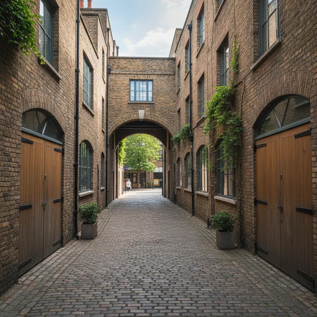
The Colonnade curves quietly behind the western flank of Russell Square, serving as a preserved example of an early nineteenth-century mews and commercial cut-through. Originally built to house horses, carriages, and grooms serving the grand residences of Guildford Street, the lane features cobbled granite setts, painted stable gates, and arched carriage openings. Several independent public houses and specialist traders have operated continuously along this corridor since the mid-Victorian period. Walking beneath the surviving iron gaslamp brackets reveals cast-iron rainwater hoppers dated to the 1830s, offering visitors an authentic glimpse of Regency-era back-lane infrastructure.
Cosmo Place and the Hidden Queen Square Footway
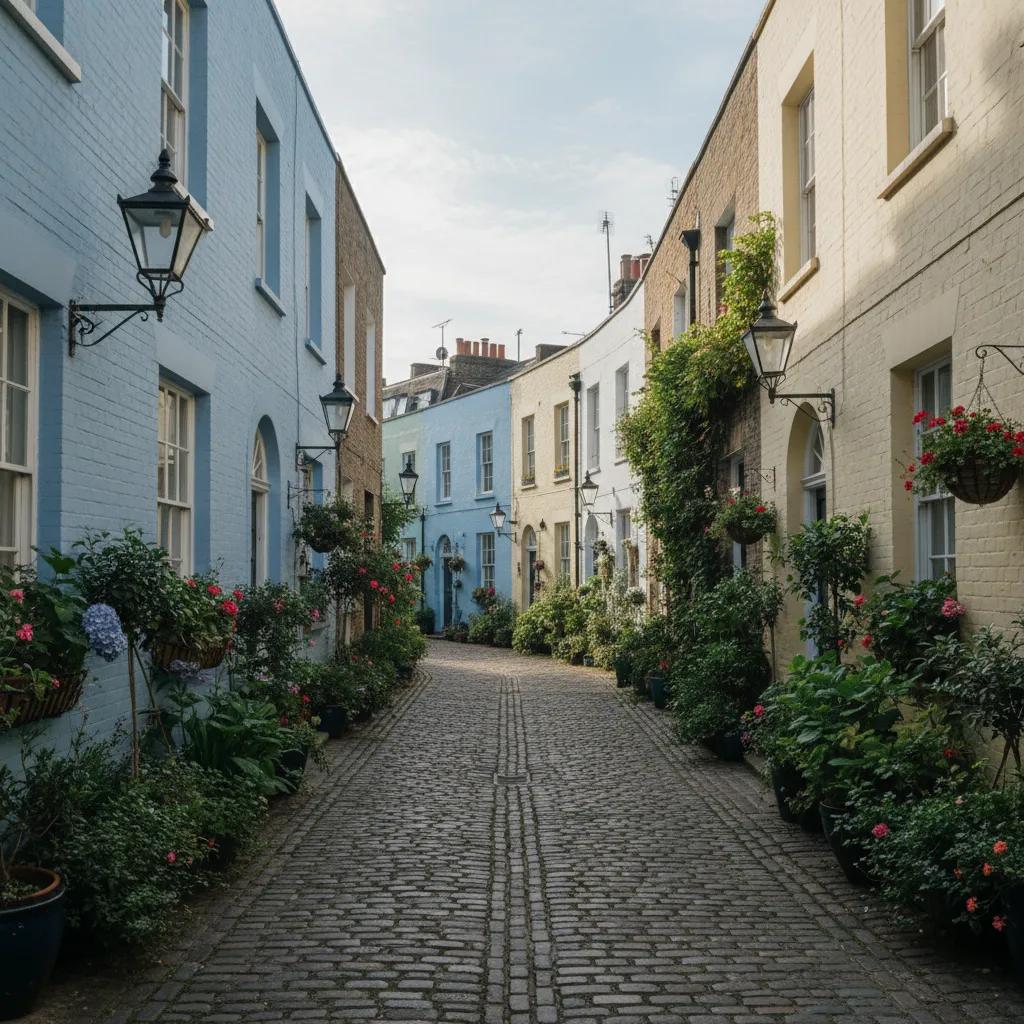
Cosmo Place functions as a narrow, pedestrianized brick alleyway bridging Southampton Row with the leafy tranquility of Queen Square. Lined with tall eighteenth-century brown-brick terrace elevations, this passage has historically accommodated neighborhood bakeries, printers, and modest lodging houses. Mid-way along the walk, the passage narrows sharply where historic masonry walls display vintage enameled street nameplates and defensive cast-iron wheel guards. Emerging from Cosmo Place into Queen Square offers a striking spatial contrast, opening directly onto quiet lawns and historic medical institutions founded during the nineteenth century.
Queen Square and the Secluded Corner Passages
Queen Square maintains several discreet pedestrian passageways that filter foot traffic into surrounding residential quarters. Laid out between 1716 and 1725, the square originally left its northern side completely open to frame views of the distant Highgate and Hampstead hills. The narrow brick footways that skirt its eastern and western boundaries are bordered by mature plane trees, decorative cast-iron gatepiers, and antique lampposts. Philanthropic hospitals and specialized charitable foundations congregated along these tranquil footpaths throughout the Victorian era, leaving an architectural legacy of inscribed stone lintels and ornamental ironwork that walkers can examine at leisure.
Bury Place and the Antiquarian Museum Courts
Bury Place and its interconnected network of alleyways run parallel to the British Museum, forming a secluded corridor celebrated for antiquarian booksellers and classical publishing offices. Narrow covered entrances leading off the main street reveal private inner mews, where stone steps lead downward to former printshops and binding ateliers. Notable publishers including Faber and Faber maintained offices nearby, attracting twentieth-century literary figures who walked these exact stone pavements daily. The streetscape is characterized by solid Victorian stone masonry, iron cellar gratings, and discreet pedestrian passages that allow walkers to bypass museum coach traffic.
Barter Street and Historic Central Bloomsbury Alleys
Barter Street and adjacent Kingsway cut-throughs date back to seventeenth-century land divisions before modern avenues were carved through the district. This secluded lane contains remnants of Georgian stable buildings, weathered brick chimney stacks, and decorative leaded transoms above heavy timber doorways. Antique print dealers and independent conservation studios still occupy several ground-floor workshops along the street. The quietness of the lane provides an intimate setting to examine original brick bonds, weathered lime mortar, and antique iron boot-scrapers embedded into the doorstep footings.
Montague Mews and Historic Museum Boundary Paths
Montague Mews threads directly behind the eastern wing of the British Museum, providing a narrow cobbled service passage lined with Georgian brick outbuildings and historic perimeter walls. Built in the early nineteenth century to accommodate museum staff, stone conservators, and local trade suppliers, the lane preserves hand-cut granite setts and cast-iron wall anchors. The quiet corridor provides a striking architectural contrast with the massive stone columns of the neighboring museum facade, offering an unhurried perspective on Bloomsbury's secondary pedestrian network.
Piedmont Walk and Historic Mews Enclaves
Piedmont Walk preserves the intimate atmosphere of a secluded service cut-through connecting Southampton Row to surrounding Georgian residential blocks. The passage is framed by dark red-brick party walls, stone coping, and antique iron bracket lanterns mounted high above head height. Historically used by couriers, household staff, and local craft trades, the walkway retains an unhurried domestic character. Stepping into this sheltered corridor reveals how Georgian town planning cleverly separated formal public facades from practical working lanes, maintaining architectural dignity while accommodating the daily logistics of eighteenth-century urban life.
Architectural Markers and Historic Paving Along the Route
Observant walkers along this Bloomsbury circuit will discover numerous subtle architectural markers testifying to two centuries of urban history. Look closely at the granite paving stones in the mews turnings, which often reveal diagonal scoring carved to provide grip for dray horses in wet weather. Cast-iron parish boundary markers bearing the emblem of St George Bloomsbury remain bolted to terrace corners at head height. The preservation of original iron railings, horse hitching rings, and stone kerbstones makes this walk an exceptional open-air museum of London municipal design.
Route Logistics and Best Times to Visit
Exploring this Bloomsbury route covers approximately 1.3 miles and takes sixty to seventy minutes to complete at a leisurely pace. Early weekday mornings between 8:30 AM and 10:00 AM provide the best light across Woburn Walk's bow windows, while weekends offer nearly deserted mews lanes ideal for undisturbed architectural photography. Heavy lunchtime rushes from local university campuses occur between 12:30 PM and 1:30 PM around Russell Square, making mid-afternoon the preferred window. Russell Square and Holborn Underground stations offer immediate pedestrian access to the start and end points of the walk.
Connecting Walks and Local Neighborhood Stops
After completing the alleyway circuit, visitors can easily extend their heritage walk northward toward Regent's Canal or west into Covent Garden. A short stroll leads to the shaded benches of Russell Square or the independent cafes situated along Marchmont Street. The Karpo APP offers personalized walking route maps, historical landmark guides, and real-time public transit connections to enhance your journey through London's literary heartland. Taking time to wander Bloomsbury's secondary passageways unlocks a charming and deeply historical dimension of the capital.
Ask Karpo for more information.
Keep reading
- Bloomsbury Mews Walk Planner: Literary Brick Passages
 Belgravia Mews Walk Planner: Stucco Arches and Alleys
 Notting Hill Mews Walk Planner: Quiet Painted Lanes