The mistake is typing waterfalls near me in Los Angeles during January after a rainstorm, finding six articles promising dramatic cascades, and driving to a trailhead where four hundred other people had the same idea. You spend forty minutes looking for parking, another twenty waiting to use a trail that was built for sixty people at a time, and the waterfall itself is a scrum of selfie queues on slick rocks. The flow is impressive for three weeks. The crowds make it unpleasant.
Ask Karpo which trailheads have parking right now and what the canyon temperature is before you leave. The app gives you shade windows and real-time lot status so you don't waste the drive.
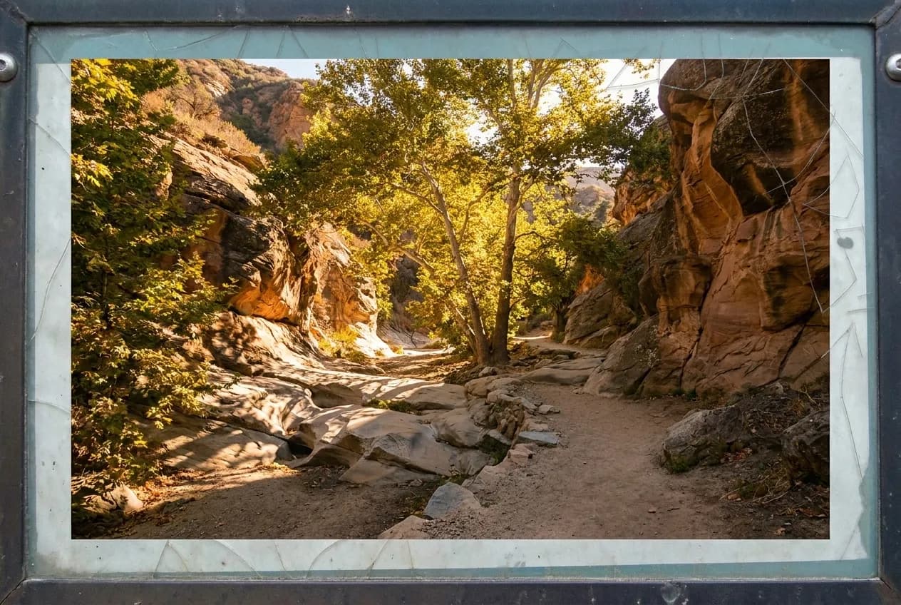
The dry season is when these trails work. May through November, the flow drops to a trickle or stops entirely, which sounds like a downgrade until you recognize that the waterfall was never the best part. The best part is the canyon itself—the rock formations, the sycamore shade, the fact that you can walk at your own pace and sit on a boulder without negotiating space. The Santa Monica Mountains and the San Gabriels hold dozens of seasonal drainages that spend eight months a year as quiet, shaded approaches to sculpted rock walls. That is the actual amenity.
What Low Water Actually Means for the Hike
People assume that no water means no point. What low water actually means is that the trail is passable without rock-hopping over a current, the stone is dry enough to sit on, and the algae smell is gone. In the San Gabriel front range, trails that require three stream crossings in March require zero in August. You move faster. You do not need to carry a second pair of socks.
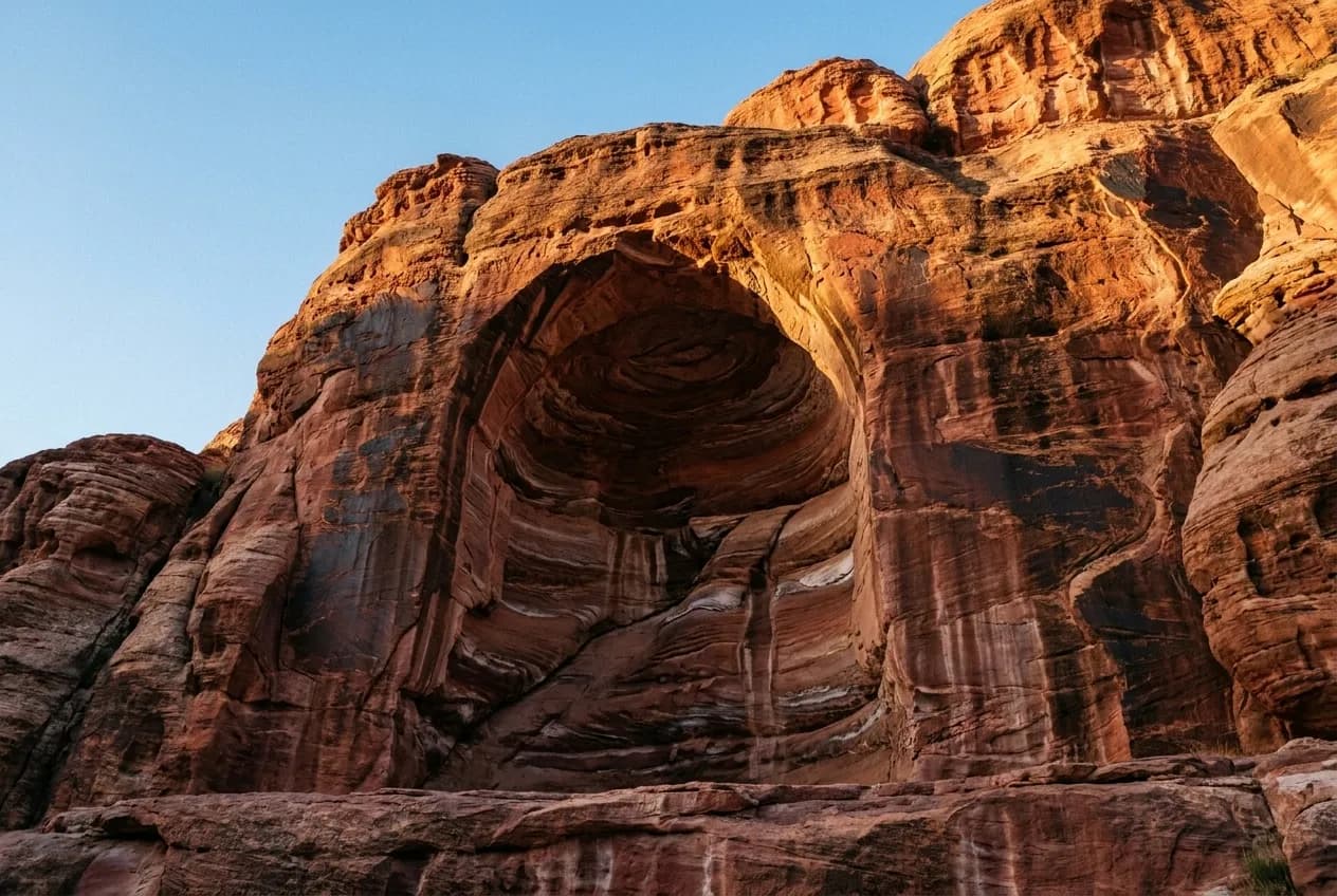
The formations that create waterfalls—slot canyons, pourover ledges, amphitheater bowls—are geological features that exist independent of flow. In the dry months you can walk right up to the rock face and see the striations, the fracture lines, the places where the sandstone has been carved into smooth channels. During high flow you stand fifteen feet back behind a safety rope. The trade is obvious: you lose the whitewater drama, you gain the actual access.
Shade matters more than flow. A canyon with a year-round trickle and no canopy cover is miserable at noon in July. A canyon with no water at all but dense oak and sycamore cover is pleasant until two in the afternoon. The best dry-season trails are the ones with north-facing approaches or riparian corridors that kept their trees through the last drought. These are not the trails that show up in high-water Instagram compilations, which is why they stay quiet.
Where the Reliable Dry-Season Corridors Are
The western San Gabriels between La Cañada Flintridge and Azusa hold the most consistent dry-season options. These canyons face south and west, which means they heat up, but the elevation gain is enough that you start in chaparral and end in mixed conifer. The upper sections hold snow melt into May, and even after that the rock alcoves stay cool. Trailheads in this zone fill on weekends but clear by ten on weekdays.
The Verdugos and the eastern Santa Monicas are lower and hotter, but the drainages here were carved deep enough that the canyon floors stay shaded past eleven. These are the trails where water stops entirely by June, which means the footing is predictable and the bugs are minimal. Parking is neighborhood street parking or small paved lots that do not require adventure passes. The trade is heat: if you are not on the trail by seven-thirty in July, you are hiking in full sun by the time you turn around.
The Malibu Creek watershed and the western Topanga area hold water longer than the eastern mountains, but the trails here are wider and more exposed. You get a trickle through August in some years, but you are walking in chaparral with no cover. These are spring and fall corridors, not summer ones. The exception is the riparian stretches directly along the creek beds, where sycamores create a tunnel. Those sections work all year if you are willing to start early.
How Trailhead Logistics Change Off-Season
The parking situation inverts. The lots that require a queuing strategy in winter and spring sit half-empty from June through October. Trailheads in the San Gabriels that fill by eight on a February Saturday have open spaces at nine-thirty in August. The difference is not that fewer people want to hike; it is that casual visitors do not associate summer with waterfall trails, so the only people turning up are the ones who know the canyon is the point.
Shuttle systems and overflow lots go dormant. The National Forest Adventure Pass is still required at most formal trailheads, but the ranger presence drops and the lot attendants disappear. This makes weekday access easier and weekend access only slightly easier. If you are used to planning around parking scarcity, the dry months let you plan around temperature instead. That is a better constraint.
Street parking near neighborhood trailheads becomes the default. In the Verdugos and the eastern Santa Monicas, most access points are residential and the parking has always been curbside. In summer this is fine at dawn, tight by nine, and a problem by ten. The window is narrower than in the formal lots, but the drive is shorter and you do not pay for a pass. Know which streets have restrictions and which do not.
The Heat Math That Decides Your Start Time
The rule is not about air temperature; it is about radiant heat off the rock. Once the sun hits the canyon floor directly, the stone starts reflecting heat and the shade stops working. In the San Gabriels this happens between nine-thirty and ten-thirty depending on the canyon's orientation. In the lower mountains it happens by nine. If you are not already in the shaded section by that point, you are hiking in an oven.
Start times in summer are not suggestions. A seven a.m. start gives you three hours of good conditions in most canyons, which is enough for a four- to six-mile round trip at a reasonable pace. An eight a.m. start cuts that to two hours. A nine a.m. start means you are racing the heat on the way back, and if the trail is an out-and-back with no loop option, you lose. People underestimate how fast the temperature climbs once the rock is in full sun.
Weekday mornings are the window. Saturday and Sunday mornings still draw families and trail runners, and the trailhead lots start filling by seven-thirty even in the off-season. Tuesday through Thursday before eight a.m. you have the canyon to yourself. The rock is cool, the light is still angled, and you can stop wherever you want without blocking traffic. This is when the dry-season trails deliver what they are supposed to deliver: access to the landscape without the crowd tax.
The trade-off worth accepting is that you will not see a waterfall in the postcard sense. You will see where the water was, and where it will be again, and in the meantime you will have the stone and the quiet and the shade. That is enough. The weeks when the falls are running, you are competing with everyone who searched waterfalls near me and expected a nature highlight reel. The months when the falls are dry, you are walking through the actual geography of the San Gabriels and the Santa Monicas, which is a better trip.
Tags: #WaterfallsNearMe #LosAngelesHiking #SanGabrielMountains #SantaMonicaMountains #DrySeasonTrails #LATrails #SummerHiking #FreeThingsToDoLA #CanyonHikes #LosAngelesOutdoors #TrailConditions #HikingLA #SoCalHiking #MorningHikes #LosAngeles
All trademarks are the property of their respective owners.
Ask Karpo first
Ask Karpo which canyon trails have shade past ten this morning and whether the trailhead lot is full before you drive. The app gives you real-time conditions, alternate access points when the obvious one is packed, and the temperature curve for the next four hours so you know when to turn around.