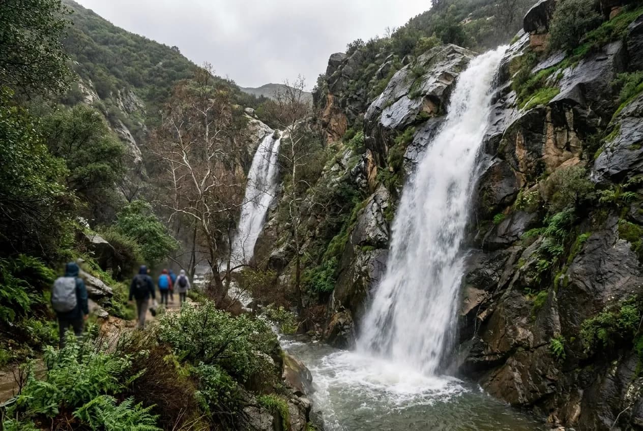
The 2023 and 2024 winter storms reset expectations about Los Angeles waterfalls in a way that lasted exactly as long as the runoff did. Trails that had been dry for years suddenly had twenty-foot drops and pool systems, social media filled with photos, and by April the same cliffs were back to being warm granite slabs. The cycle is normal, but the searching behavior changed: people now expect waterfalls to be a standing amenity rather than a short-window seasonal event tied directly to the previous week's rainfall total.
The Karpo app tracks which canyon systems are running now based on recent rainfall, fire-recovery closures, and current trailhead conditions—so you drive to water, not dust.
How the Runoff Window Actually Works
A significant storm system—two inches or more across the San Gabriel or Santa Monica mountains—produces waterfall flow that peaks within forty-eight hours and then declines on a curve that depends entirely on the canyon's drainage area, aspect, and whether there is any upstream spring contribution. The large drainage systems in the San Gabriels, particularly those feeding into the upper Arroyo Seco or Big Tujunga watersheds, hold runoff longer because they collect from a wider area and have north-facing segments that stay shaded and cool. Smaller side canyons off Malibu Canyon Road or the western Santa Monicas flash harder and faster but also dry out within a week of the last rain.
The practical implication is that your realistic window is ten to fourteen days after a proper soaking, and the best flow is in the first five days. If you are planning around a weekend and the storm hits on a Tuesday, Saturday morning is still good but Sunday afternoon is noticeably lighter. By the following weekend, unless another system came through, you are looking at trickles or damp rock. This is why the search phrase "waterfalls near me" spikes hardest on the Thursday and Friday after a Wednesday storm—people finally have time to plan the drive, but the clock is already running.
Spring systems and perennial seeps do exist, particularly in the upper reaches of the San Gabriels above five thousand feet, but they produce flow that is more accurately described as a veil or a drip rather than a waterfall. These are worth visiting in their own right, especially in early summer when the high country is still cool, but they do not deliver the drama that the search term implies. The waterfalls people are picturing—the ones that justify a two-hour round-trip drive and a permit—require recent rain.
Which Canyon Systems Hold Water Longest
The San Gabriel Mountains above Pasadena and Altadena hold runoff longer than the coastal ranges because the drainage basins are larger, the elevations are higher, and the north-facing slopes stay cool enough that evaporation is slower. The canyons feeding into Eaton Canyon, Millard Canyon, and the upper Arroyo Seco consistently have water a few days longer than equivalently sized drainages in the Santa Monicas. Eaton Canyon's main falls, in particular, benefits from a relatively large upstream area and a narrow, shaded final approach, which means it can still be running—albeit lightly—twelve to fourteen days after a storm when coastal falls have already gone dry.
The western San Gabriels, particularly the Big Tujunga and the upper forks of the San Gabriel River, have higher-volume systems that can hold flow for two to three weeks after a major storm sequence, but access depends on fire history and Forest Service road conditions. These areas burned extensively in recent fire seasons, and the combination of denuded slopes and subsequent debris flows has led to rolling closures that are often not reflected in online trail reports. A trail that was open and flowing last March may be behind a locked gate this year, and the only reliable way to know is to check the Angeles National Forest closure map within twenty-four hours of your planned departure.
The Santa Monica Mountains have smaller, faster systems. Escondido Falls, the most accessible coastal option, flashes hard after rain and photographs beautifully for about five days, but by day eight you are looking at a damp smear unless another system came through. Solstice Canyon and the smaller falls off Malibu Canyon Road follow the same pattern. The advantage of these coastal drainages is that they are lower elevation, which means the access roads clear faster after storms and you do not need to worry about snow or ice on the final approach. The disadvantage is that the window is tighter and the weekend crowds are heavier because the drives are shorter.
Trailhead Parking and Permit Constraints
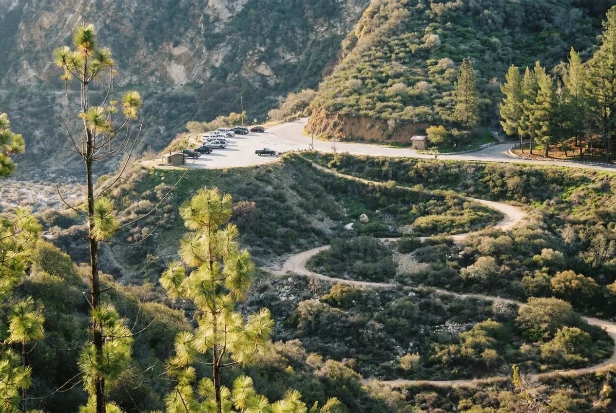
The real constraint is not whether the waterfall is flowing—it is whether you can park legally within a reasonable walk of the trailhead. Eaton Canyon Natural Area has a small paved lot that fills by eight in the morning on any weekend with recent rain, and the surrounding streets in Altadena are posted against overflow parking with aggressive enforcement. If you arrive at nine thirty you will spend twenty minutes circling or you will park illegally and risk a ticket. The solution is to arrive before seven thirty or to go on a weekday, but most people searching for waterfalls are doing so because they finally have a weekend free, which creates the bottleneck.
Millard Canyon, which has a smaller but often overlooked waterfall system, has an even tighter parking situation—a dirt pullout that holds maybe ten cars—but it also draws fewer people because it is not on the first page of search results. If Eaton is full, Millard is the immediate fallback, but you need to know it exists and you need to be comfortable with a slightly rougher access road. The falls themselves are shorter but the canyon is prettier and the crowds are a fraction of what you will encounter at Eaton.
Forest Service permits are required for some of the higher-elevation San Gabriel trails, particularly those accessing the upper Big Tujunga or San Gabriel River drainage. The permit itself is free and available online, but the system is designed to limit daily entry, which means that on a sunny Saturday after a big storm the permits can be claimed by Thursday. If you are planning around a specific weekend, you need to reserve the permit as soon as the weather forecast confirms rain, not after the storm has already passed and the social media photos start circulating. By then the permits are gone and your options narrow to the no-permit coastal trails, which will be the most crowded.
Choosing a Hike That Will Still Be Worth It
The worst outcome is not a dry waterfall—it is a dry waterfall at the end of a heavily trafficked trail with no other redeeming features. Some waterfall hikes are worth doing even when the falls are reduced to a trickle because the canyon itself is interesting or the elevation gain delivers views. Others are purely waterfall-dependent, and if the flow is not there the hike is a slog through chaparral to a disappointing rock face. Eaton Canyon falls into the latter category: the trail is wide, exposed, and heavily eroded, and the destination is the only payoff. If you are going more than ten days after the last rain, the odds are high that you will be underwhelmed.
Millard Canyon and the trails in the upper San Gabriels offer more insurance because the canyons themselves are shaded and the creekbeds are interesting even when flow is low. Switzer Falls, accessible from the Angeles Crest Highway when the road is open, is a longer hike with elevation loss and gain, but the canyon environment and the upper pools are worth the effort even if the main drop is reduced. The trade-off is that these hikes require more time and a higher tolerance for solitude and navigation, which filters out the casual crowd but also means you need to be more self-sufficient.
The coastal falls—Escondido, Solstice, and the smaller drops off the backbone trail—are shorter hikes with less vertical, which makes them more forgiving if the falls turn out to be underwhelming. You are out ninety minutes, not four hours. But they are also the most crowded and the most likely to have parking problems, so the ease of access cuts both ways. If you are trying to decide between a coastal option and a San Gabriel option on a marginal day, the San Gabriel will almost always be less crowded and more likely to still have some flow, but it will also require an earlier start and a longer commitment.
The trade-off worth accepting is that you will sometimes drive to a waterfall that is not as dramatic as the photos you saw online, and that is fine as long as the hike itself was pleasant and the canyon was worth walking through. The search term "waterfalls near me" implies a guaranteed destination, but the reality in Southern California is that waterfalls are a bonus feature on a good trail, not a standing attraction. Plan for the trail, hope for the falls, and go within a week of the rain.
Tags: #WaterfallsNearMe #LosAngelesHiking #SanGabrielMountains #SantaMonicaMountains #EatonCanyon #MillardCanyon #SoCal #WeekendPlans #LATrails #SeasonalWaterfalls #WinterRain #CanyonTrails #AngelesNationalForest #LAOutdoors #HikingLA
All trademarks are the property of their respective owners.
Ask Karpo first
The Karpo app knows which trails have water today based on recent storm totals, which trailheads still have parking, and which access roads are closed after the last fire season. Open Karpo to check current conditions before you drive, not after you arrive at a locked gate or a full lot.