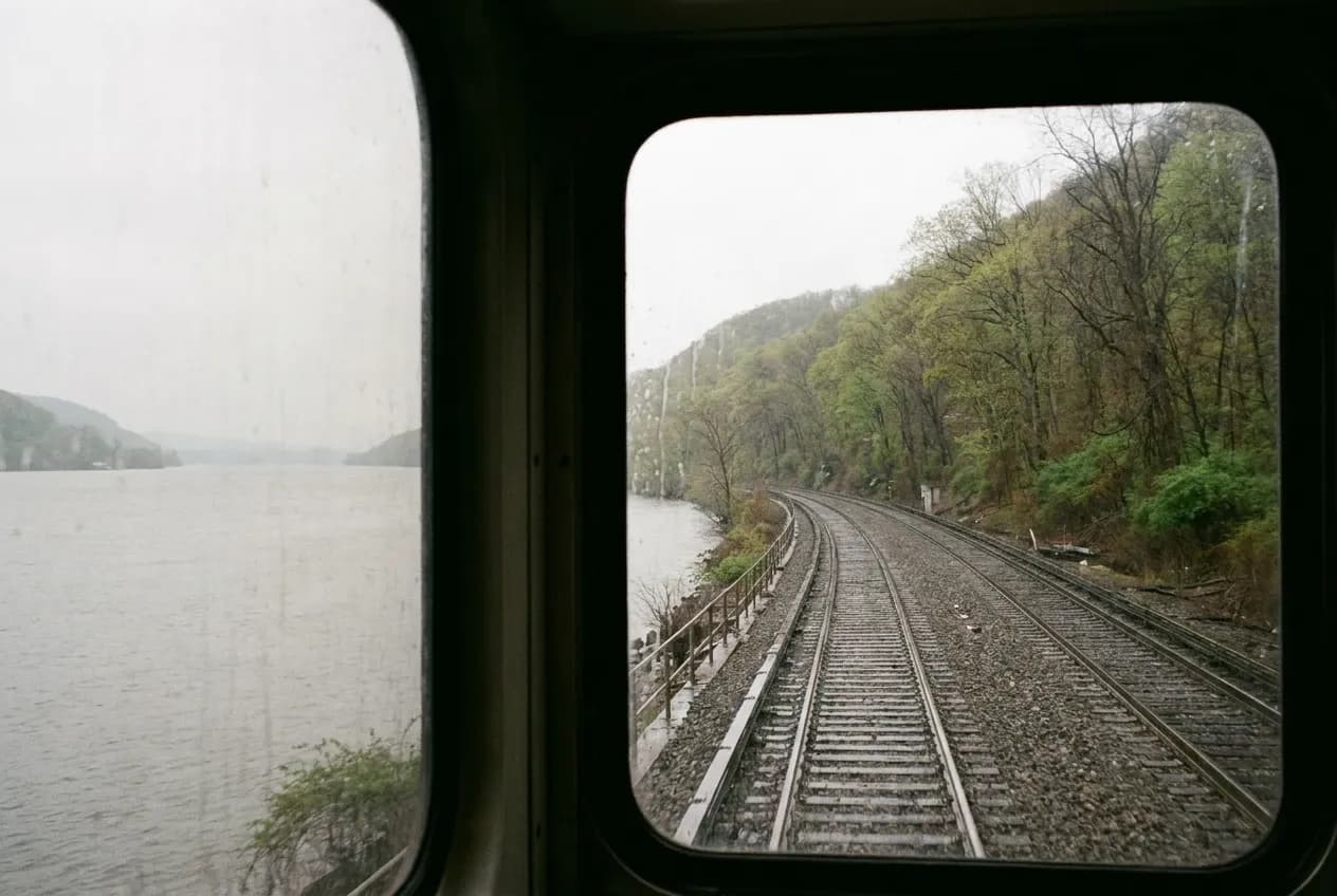
The waterfalls worth chasing from New York City sit in two clusters: the Hudson Highlands along the Metro-North Hudson Line between Garrison and Beacon, and the Palisades Interstate Park corridor straddling the New York-New Jersey border, served by NJ Transit buses from the George Washington Bridge terminal. Both zones deliver legitimate cascades and gorge walks without a car, but the trip hinges on train frequency, not trail difficulty. A missed return connection turns a three-hour outing into a six-hour wait or a seventy-dollar rideshare.
Before you commit to a departure time, ask Karpo for the current Metro-North or NJ Transit schedule to your target station, plus the return window that keeps you ahead of the last train back.
Why the Flow Window Runs March Through June
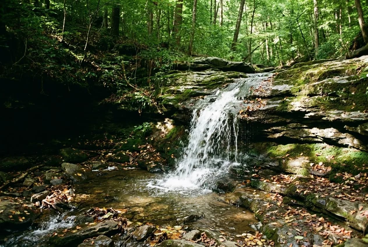
Snowmelt and spring rain feed the Hudson Valley and Ramapo Mountain streams that produce the region's waterfalls. Volume peaks in late March and holds through May, tapering through June. By mid-July most falls drop to a trickle unless a heavy storm refills the watershed. A dry two-week stretch in August can reduce a thirty-foot cascade to damp rock.
The inverse matters too. Heavy rain within forty-eight hours makes trails muddy and stream crossings risky. Some park systems close trails after significant precipitation. If you are planning around a specific weekend, check the seven-day forecast and the three-day history. A half-inch overnight rain improves the visual but does not usually close access. Two inches or more often does.
The Metro-North Hudson Line Route to Breakneck Ridge and Beacon
The Cold Spring and Beacon stations on the Metro-North Hudson Line put you within walking distance of trail systems that include waterfalls and gorge sections. The Breakneck Ridge trailhead sits one mile north of the Cold Spring station along Route 9D, a shoulderless road with fast car traffic. Most hikers walk it anyway because the alternative is a weekend shuttle that runs infrequently and fills fast. The ridge trail itself is steep scrambling, not a waterfall walk, but the parallel blue trail through the woods crosses seasonal streams with small cascades during high water.
Beacon puts you closer to structured waterfall access. The trail network behind the Beacon train station connects to the Mount Beacon fire tower route, which passes a modest cascade about one mile in. The flow depends entirely on recent rain. In a typical April you will see water. In a typical September you will see stones.
The critical constraint is the return schedule. Weekend Hudson Line trains to Cold Spring and Beacon run roughly every ninety minutes. If you miss the 4:17 p.m. train, the next is often after 6 p.m. Build your turnaround time around the train, not the daylight. The hike itself is secondary to catching the return.
The NJ Transit 166 and 171 Buses to Palisades Interstate Park
The Palisades Interstate Park stretches along the New Jersey side of the Hudson from the George Washington Bridge north into New York State. NJ Transit routes 166 and 171 run from the GWB Bus Station to stops along the park's main road. The 166 runs more frequently and reaches the State Line Lookout stop, which is the access point for the Long Path trail system. From State Line Lookout, the trail descends into the ravines where seasonal streams produce small waterfalls after rain.
The 171 continues farther north into Rockland County and serves trailheads closer to larger water features, but service is limited to a few runs on weekend mornings and mid-afternoon returns. If you take the 171, you are locked into a narrow return window. The 166 offers more flexibility but smaller falls.
Neither route is frequent. Weekend service on the 166 runs roughly every sixty to ninety minutes. The walk from the bus stop to the trailhead is short—under ten minutes in most cases—but the descent into the ravines adds another twenty to thirty minutes before you reach water. Budget two hours minimum for the round-trip trail walk, then add buffer time for the bus schedule. A 10 a.m. departure from the GWB gets you to the trailhead by 11 a.m., gives you two hours on the trail, and positions you for a mid-afternoon return bus.
When to Skip the Hudson Highlands and Try the Ramapo Reservation
The Ramapo Valley County Reservation in northern New Jersey holds the region's most reliable roadside waterfall—Ramapo Falls—but it is not reachable by regular public transit. The nearest transit access is NJ Transit's Main Line to Ramsey, then a three-mile walk or a local taxi. The falls themselves are a short walk from the parking area, and they flow year-round, fed by the Ramapo River rather than seasonal streams.
If you are willing to combine a train and a rideshare for the final leg, Ramapo Reservation offers the best guarantee of visible water outside the spring window. The falls drop about thirty feet over bedrock and remain photogenic even in summer. The trade-off is the added cost and coordination for the last three miles. A round-trip rideshare from Ramsey station runs twenty to thirty dollars depending on time of day.
What to Do When the Obvious Train Is Sold Out or Delayed
Metro-North Hudson Line trains to Cold Spring and Beacon sell out on warm spring Saturdays, especially the late-morning departures. If the train you want shows no availability, the Harlem Line to Southeast offers an alternative route into similar terrain. The Appalachian Trail crosses near the Pawling and Dover Plains stations, and the trail corridor includes small seasonal cascades in wet months. The walk from either station to the nearest trail access is about two miles, longer than the Hudson Line options but manageable if you are already committed to a day of walking.
Another fallback is the New Jersey side during peak crowding. The Palisades buses do not require advance tickets and rarely reach capacity. If the Hudson Valley trains are booked, the GWB Bus Station offers same-day flexibility. The falls are smaller, but the logistics are simpler.
A final option when everything else fails: the Metro-North Hudson Line to Tarrytown or Yonkers positions you near the Old Croton Aqueduct trail, a flat linear path that follows the aqueduct route north. The aqueduct itself is underground, but the trail crosses several small streams with modest cascades during high water. It is not destination waterfall scenery, but it is walkable, transit-accessible, and open when the more popular spots are overrun. The trail runs for miles in both directions from the stations, so you can walk as far as your schedule allows and turn back when it is time to catch the return train.
Tags: #WaterfallsNearMe #NYCDayTrips #MetroNorthTravel #NJTransitTrips #HudsonValleyHiking #PalisadesPark #BreakneckRidge #BeaconNY #RamapoFalls #CarFreeTravel #WeekendPlansNYC #PublicTransitHiking #SpringHikes #NYCOutdoors #TrainTravelNYC
All trademarks are the property of their respective owners.
Ask Karpo first
Before you leave, ask Karpo for the next Metro-North departure to your target station and the last train back that keeps you ahead of dark. The Karpo app also tracks trail closures and current weather at the trailhead, which matters more than the forecast in Manhattan.