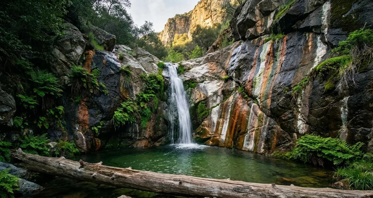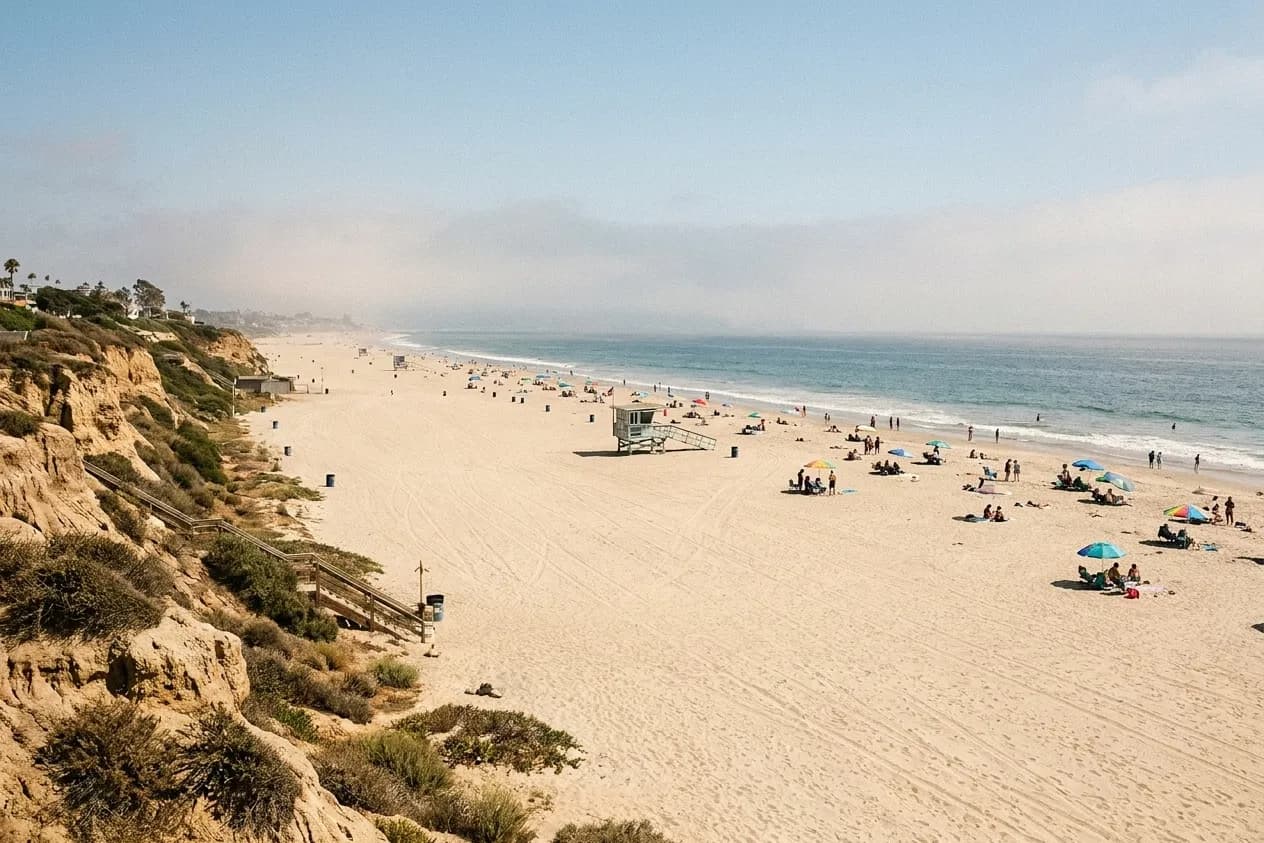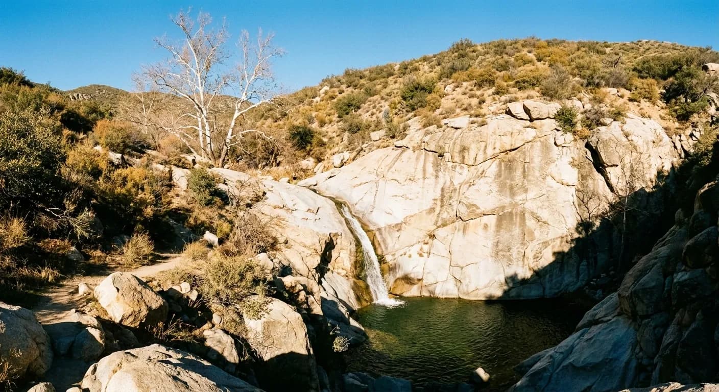
Los Angeles is not the first place anyone associates with waterfalls, which is why the ones it has stay reasonably quiet. There are real falls in the San Gabriel Mountains immediately north of the city, in the Santa Monica Mountains along the coast, and further out toward Ojai and the Angeles high country. All of them are rain-dependent, and all of them sit inside a patchwork of access rules that catch people out more often than the hiking does.
Waterfall hikes around Los Angeles turn on two things that change constantly — recent rain and current closures. Tell Karpo when you want to go and how far you will drive, and it will find a canyon that is both flowing and actually open.
The season is short and it is not summer
Every waterfall in this region runs on winter rain. The dependable window is roughly January through April, peaking in the weeks after a substantial storm, and by midsummer most of these creeks are a trickle or a dry bed of rounded stones. Photos online are almost invariably taken in the best week of a wet year, which is why so many people arrive in July to find nothing.
The corollary is that the best day for a waterfall hike here is a cool, clear one two or three days after rain. The trail has drained, the flow is still high, and the air over the San Gabriels is at its clearest of the year. Going during the rain itself is a poor idea in these canyons for reasons covered below.
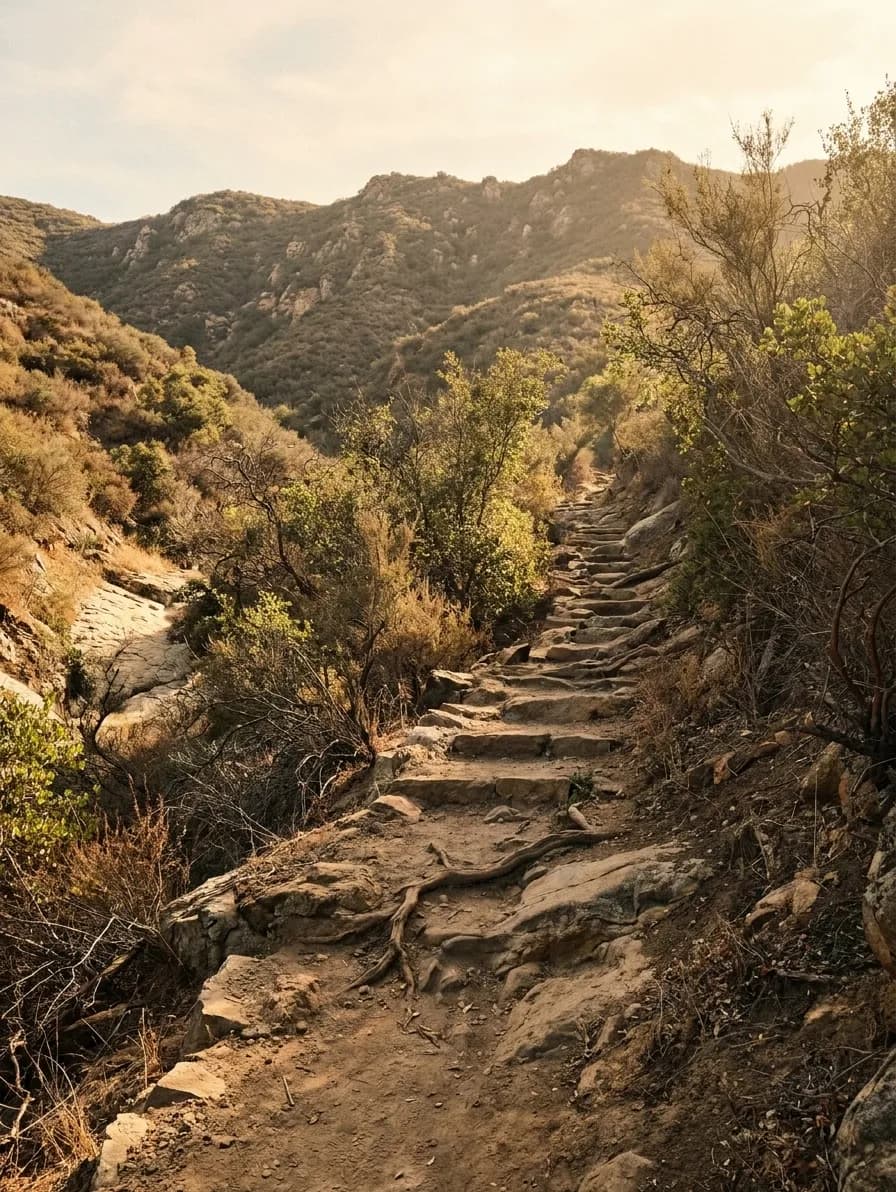
Three ranges, three completely different experiences
The San Gabriels are the steep, high option — granite canyons rising abruptly behind the city, with shaded creek trails climbing under alder and bay. Most of the classic falls hikes here run from a canyon road trailhead and involve a few miles and real elevation. These are the most reliable flows in the region and the coldest water.
The Santa Monica Mountains, running from the Hollywood Hills out to the coast, offer shorter and gentler walks through chaparral and oak to falls that are lower but much easier to reach, several within a short drive of the Westside. They dry out earlier in the year. Further out, the Ojai backcountry and the high country beyond the San Gabriel crest offer bigger drops and longer days for anyone willing to make it a whole outing rather than a morning.
Access is the part people get wrong
Most San Gabriel trailheads sit inside a national forest where parked vehicles need a day pass or an equivalent federal pass displayed. Many Santa Monica Mountains trailheads are state or national park land with their own parking fee. Neither is expensive and both are enforced, and the passes are frequently sold at a shop miles before the trailhead rather than at the trail itself.
More importantly, large sections of this landscape close after fire, and they stay closed for a long time. Recent fire seasons have burned significant areas of the foothills and the coastal range, and burn-area closures are legally enforced because the hazards — unstable slopes, falling trees, debris flows in the first rains — persist for years. The managing agency's own closure notice is the only reliable source; trail apps and blog posts lag it badly.
The safety issues that are specific to these canyons
Two things injure people on Los Angeles waterfall hikes with grim regularity. The first is scrambling above the falls. The rock in these canyons is slick where water runs over it and loose where it does not, and a large share of local search-and-rescue calls come from people who climbed past the pool to get a better view. The second is heat: the lower canyons here can run twenty degrees hotter than the coast, and an exposed return climb in the afternoon is where people get into trouble.
The third, less common but more serious, is water. After heavy rain these narrow canyons move debris fast, and burned watersheds above them make it worse. Hiking a canyon during or immediately after a storm is the one condition worth simply avoiding.
How to plan a day that works
Leave early — the trailhead lots on canyon roads fill by mid-morning on any pleasant winter weekend, and the roadside overflow is where tickets get written. Carry more water than the mileage suggests, because these are dry, exposed climbs on the way out even when the creek is running. And download the map before you leave the city; coverage in most of these canyons is nil.
The best version of this outing pairs the hike with the drive rather than treating the drive as a cost. The canyon roads into the San Gabriels and the coastal route out to the Santa Monicas are among the better drives in Southern California, and there is usually a decent breakfast or a roadside stop on the way that turns a two-hour walk into a proper day out.
Tags: #LosAngeles #Waterfalls #Hiking #SanGabriels #SantaMonicaMountains #LAOutdoors #ThingsToDoLA #Malibu #DayTrip #SoCal #TrailLife #WeekendInLA #FreeThingsToDo #NatureNearLA
Sources consulted: fs.usda.gov · parks.ca.gov · nps.gov
All trademarks are the property of their respective owners.
Ask Karpo first
Burn closures, road washouts and parking-pass rules change between one weekend and the next, and a canyon that was open last spring may not be now. Ask Karpo which waterfall hikes near you are currently open and flowing, and what the trailhead needs from you.