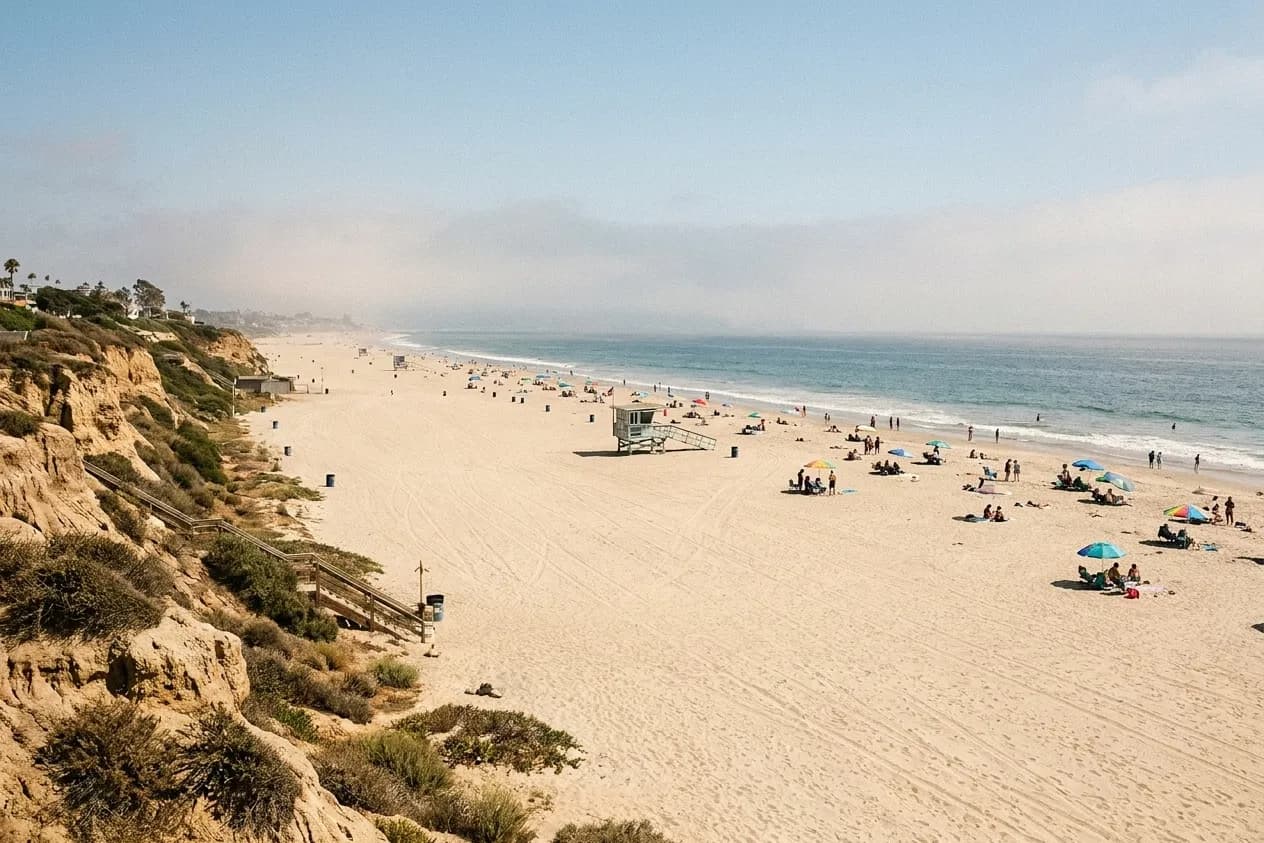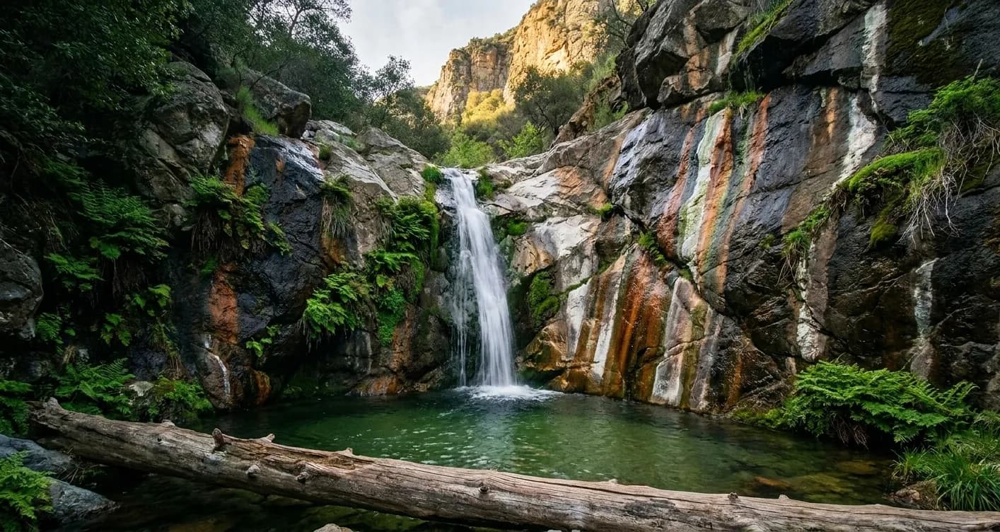
A waterfalls near me day trip from Los Angeles is a genuinely great use of a Saturday and it is almost entirely a logistics exercise. The canyons are close — most of the good ones are inside ninety minutes — but the trailhead parking is the real bottleneck, the forest requires a pass most visitors do not know about, and the difference between a seven and a nine o'clock departure is the difference between a quiet canyon and a queue for a photograph. Here is the day, laid out in the order it actually happens.
A waterfall day trip lives or dies on the first two hours — when you leave, where you park, and whether you brought the right pass. Tell Karpo your date and it will build the timings around the trailhead rather than the drive.
6.45am: leave before the freeway wakes up
The drive out of the basin toward the front range or the coastal canyons is fast before about eight and slow after. Leaving at quarter to seven typically costs you thirty to fifty minutes less driving than leaving at nine, and it converts the parking problem from a gamble into a non-issue. This is the highest-leverage decision in the whole day and the one people most often skip.
Fill the tank the night before and pack the car the night before. Mountain roads have few services, and the morning stop for fuel and snacks is where a 6.45 departure quietly becomes a 7.40 one.
8.15am: the trailhead, and the pass
Many trailheads in the Angeles National Forest require a display pass on the dashboard, bought in advance from a vendor or online rather than at the trail. State parks along the coastal canyons charge a day-use fee at the entrance instead. Neither is expensive; both catch out first-time visitors, and enforcement is real. Check which system applies to your specific trailhead the night before, because the answer differs between canyons twenty minutes apart.
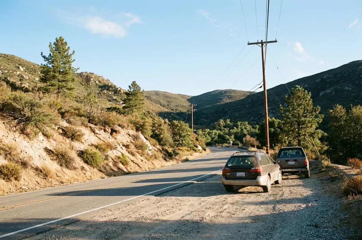
8.30am to 11.30am: the walk
Most of the accessible falls in this region are short out-and-back canyon walks of two to six miles with modest climbing, following a creek with repeated crossings. Take it slowly at the crossings, which are where injuries happen, and expect the trail to be busier on the way back than on the way in. Carry more water than the distance suggests: the canyon is shaded but the return climb frequently is not.
At the fall itself, the crowd concentrates on one slick rock platform. If it is packed, walking five minutes further upstream or downstream usually finds a quieter pool that is better for actually sitting by the water, which was the point.
12.30pm: lunch in a town rather than a lot
The trip improves enormously if you plan a stop on the way back — a foothill town along the mountain road, a taqueria in the valley below the canyon, a bakery in one of the older towns at the base of the range. This is the difference between a hike and a day out, it costs nothing but ten minutes of planning, and it also lets the worst of the returning traffic clear.
What to have in the car
Shoes with grip that you do not mind soaking. More water than you think, plus extra in the car for the drive home. Layers, because canyon bottoms are cold in the morning and the parking lot is hot by noon. A paper note of the directions, since signal drops completely in most of these canyons. And a bag for wet and muddy things so the drive home is not unpleasant.
Road closures, pass requirements and water levels change with the season and after storms, so confirm current conditions with the managing agency before you commit to a specific canyon.
The rainy-season variant
In a wet winter the same day works with two changes. Go later in the morning rather than earlier, because canyon bottoms are genuinely cold before the sun reaches them and the crowds are thinner in winter anyway. And check road status obsessively — the mountain roads above the basin close for snow, rock and washouts with little notice, and a closure twenty miles up the canyon adds an hour to your day before you have walked anywhere.
The payoff is that this is when the falls are actually running hard, the air is clear enough to see the ocean from the ridges on the drive out, and the trails are quiet. If you only do this trip once a year, doing it in February rather than in June is a materially better day for the same effort.
One last thing worth building into the plan: decide in advance who is driving home. The return leg after a morning hike and a large lunch is when people are least alert, the canyon roads are unforgiving, and the afternoon glare on the way back into the basin is genuinely bad. Swapping drivers at the lunch stop is a small piece of planning that makes the whole day safer.
Tags: #LosAngeles #LA #SoCal #FreeThingsToDo #CheapEats #BudgetFriendly #Waterfalls #LAEats #LAGuide #ExploreLA #LALocal #LAWeekend #LANights #LAFood
Sources consulted: fs.usda.gov · parks.ca.gov · laist.com
All trademarks are the property of their respective owners.
Ask Karpo first
Karpo is a proactive AI assistant that lives in iMessage. Give it a date and it will build the timings around the trailhead.