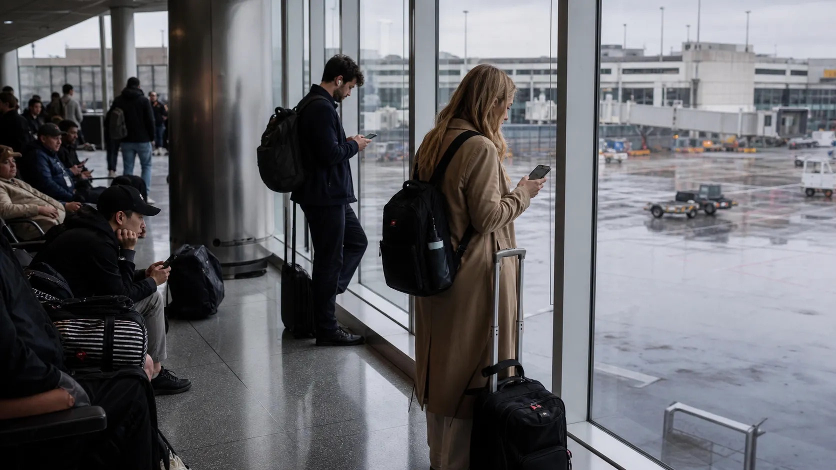
Tropical Storm Bertha is not aimed at New York City as of early Wednesday, July 22, 2026, but the storm’s tracker still matters for New Yorkers with flights, rail connections, cruise plans, Gulf Coast itineraries, or beach weekends on the calendar. The National Hurricane Center placed Bertha in the northern Gulf Coast region overnight, with tropical-storm conditions expected there, while NYC’s immediate weather concern has been separate rounds of thunderstorms and localized flooding. That split is important: do not cancel a New York plan because of a storm name alone, but do check your exact route, carrier alert, terminal access, and coastal backup plan before you leave.
Text Karpo with your airport, train station, ferry route or beach plan, and we’ll help you sort the official alerts from the noise. Ask Karpo before you rebook if you need a fast read on whether the risk is Bertha, local NYC storms, or your connection city.
Where Bertha Is Now, and Why NYC Should Not Read the Cone Too Broadly
The National Hurricane Center’s 1 a.m. CDT advisory on Wednesday, July 22, placed Tropical Storm Bertha near the northern Gulf Coast, about 145 miles west-southwest of Panama City, Florida, and about 75 miles east of the mouth of the Mississippi River. NHC listed maximum sustained winds near 50 mph, movement west at 6 mph, and gradual weakening over the next several days. For NYC readers, the practical takeaway is that Bertha is a direct Gulf Coast travel issue, not a current New York landfall threat.
That does not make it irrelevant. New Yorkers fly through Atlanta, Charlotte, Houston, Dallas, New Orleans, Tampa, Orlando, Fort Lauderdale and Miami; they also connect to cruises, family trips, college visits and work travel across the Southeast. The most useful move is to read the NHC forecast for storm location and hazards, then use airline and airport tools for your specific itinerary. The cone is not a flight-delay map, and a calm-looking Manhattan sky does not guarantee a smooth connection through a weather-affected hub.
NYC Airports: Check the Airline First, Then the FAA
For JFK, LaGuardia and Newark, the cleanest order of operations is: airline app, FAA airport status, then terminal or ground-transport updates. The FAA’s Air Traffic Control System Command Center said early Wednesday that JFK, LaGuardia and Newark had no destination-specific delays reported, with general departure and arrival delays of 15 minutes or less. The FAA page is helpful for airport-wide conditions, but it also warns that its status is not flight-specific, so your airline remains the source of truth for your booking.
Several airline alerts on July 21 and July 22 were tied to East Coast or Northeast severe weather rather than Bertha itself. Delta listed a Northeast U.S. inclement-weather advisory covering JFK, LGA and EWR for July 21-22, with rebooking flexibility under stated conditions. American Airlines also listed a U.S. East Coast severe-weather alert covering JFK, LGA and EWR for travel scheduled July 20-22. If you are flying toward the Gulf Coast, check whether your carrier has a separate Bertha or Gulf advisory; if there is none, normal fare rules may still apply.
When to Switch Flights, and When to Wait
A good NYC traveler rule: if your first leg is one of the first departures of the day and your connection city is outside Bertha’s impact zone, keep monitoring rather than panic-rebooking. Early flights generally have fewer accumulated delays. If your itinerary connects through a Gulf or Southeast hub late in the day, or if your destination is under a tropical-storm warning, the value of a waiver rises because you can move before aircraft and crews are displaced.
Before changing anything, screenshot your carrier’s advisory terms and compare three details: impacted airports, eligible ticket-purchase date, and last permitted rebooked travel date. Waivers often require the same origin and destination to avoid a fare difference. If your airline cancels your flight, the U.S. Department of Transportation’s refund rules may become relevant; if you voluntarily cancel a still-operating flight, the carrier’s fare rules and waiver language matter much more.

Amtrak, LIRR, Metro-North and NJ Transit: Watch Water, Wind and Heat Separately
Bertha’s center is far from New York, but trains can still be affected by local thunderstorms, downed trees, signal issues, heat restrictions, flooding in low spots, or delays cascading from the Northeast Corridor. Amtrak’s service-alerts page directs riders to check train status for disruptions and advance schedule notices. MTA’s schedules and alerts tools remain the place to verify LIRR, Metro-North, subway and bus changes before leaving home, especially if you are transferring between Penn Station, Grand Central Madison, Jamaica, Atlantic Terminal or airport rail links.
Do not assume rail is always the safer backup for a weather-affected flight. A train can be excellent for Boston, Philadelphia, New Haven, Washington or the Hudson Valley, but only if the corridor you need is running reliably. Build a buffer before ticketed events, cruises or same-day international flights. If storms are active in NYC, avoid tight transfers involving outdoor platforms, long walks with luggage, or elevator-dependent routes unless you have checked station accessibility and real-time alerts.
Ferries, Harbor Trips and Beach Plans Need a Different Weather Check
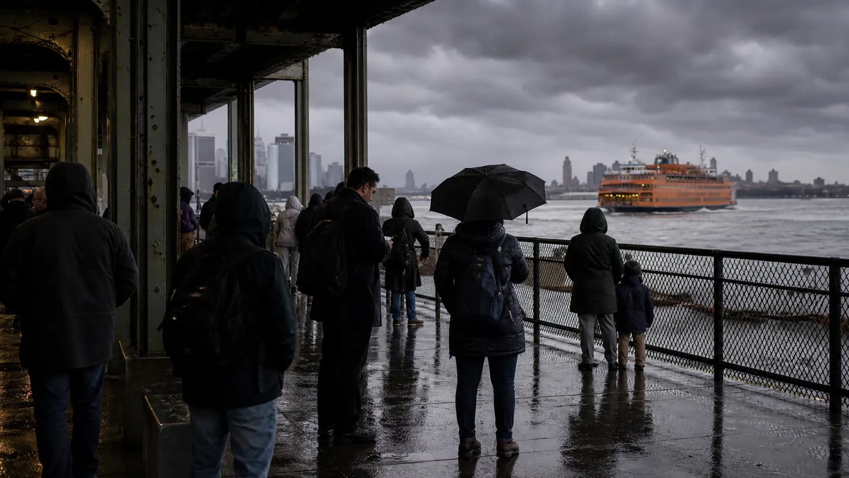
Waterfront plans are where people often over-focus on the tropical-storm name and under-check the local marine forecast. NYC Ferry’s service-alerts page is the first stop for route-by-route status; early Wednesday, the page showed normal service for several listed routes while also displaying alert-message prompts on some route entries, so riders should open the current alert before heading to the landing. Staten Island Ferry riders should use NYC DOT and Notify NYC updates because schedules can change without notice.
For beach and boating plans, check National Weather Service marine products and rip-current information, not only the city forecast. A storm far away can still contribute to surf, swell, rip currents or rough harbor conditions depending on track and pressure patterns, while local thunderstorms can shut down an otherwise sunny-looking outing fast. If thunder is possible, treat Coney Island, the Rockaways, Orchard Beach, Governors Island, Liberty Island and harbor cruises as flexible plans rather than fixed obligations.
Coastal NYC: Know Your Zone Before You Need It
NYC Emergency Management’s coastal-storm guidance is worth bookmarking even when a named storm is nowhere near the city. The city reminds residents to know whether they live in a hurricane evacuation zone, make a household plan, account for medical and mobility needs, and sign up for Notify NYC. This is not because Bertha is forecast to strike New York; it is because hurricane season decisions are easier when your basics are settled before a warning ever appears.
The city’s July 20 weather alert also advised New Yorkers to prepare for thunderstorms, heavy rainfall and localized flash flooding from Tuesday into Wednesday, with the heaviest downpours able to affect poor-drainage and low-lying areas. That kind of flooding can be more relevant to today’s commute than Bertha’s distant wind field. Basement apartments, underpasses, waterfront roads, park paths and low curb cuts deserve extra caution during intense rainfall, even without a coastal evacuation order.
A Simple Decision Tree for NYC Weekend Plans
If your plan is entirely within the five boroughs, decide based on NYC’s current forecast, Notify NYC, MTA status and ferry alerts—not Bertha’s name. If your plan touches the Gulf Coast, the Southeast or a connecting airport in the storm’s path, decide based on the NHC advisory, your carrier waiver and your destination’s local emergency information. If your plan is coastal recreation near New York, decide based on marine forecast, surf, rip-current risk and ferry status.
For Friday-through-Sunday plans, set two review times: once 24 hours before departure and again the morning you leave. Weather and carrier advisories can change quickly, but constant refreshing rarely improves decisions. Have a Plan B that is nearby, refundable or weatherproof: a museum instead of a beach day, a later train instead of a tight flight connection, or a neighborhood dinner instead of a ferry-dependent itinerary. The goal is not to overreact; it is to preserve options.
Practical notes
Practical notes: As of early Wednesday, July 22, Bertha is a Gulf Coast tropical storm, while NYC’s more immediate travel issue is local thunderstorm and flooding risk. Check the National Hurricane Center for Bertha’s track, the FAA for airport-wide JFK/LGA/EWR conditions, and your airline app for your actual flight. For trains, use Amtrak and MTA status tools before leaving. For ferries, check NYC Ferry, NYC DOT and Notify NYC. Avoid driving through flooded streets, add time for airport and station access, and keep chargers, medications, IDs and reservation numbers easy to reach. If you are traveling with kids, pets, older relatives or mobility needs, make the backup plan before the weather window begins.
Tags: #NYCTravel #TropicalStormBertha #BerthaTracker #NYCWeather #JFKAirport #LaGuardia #NewarkAirport #MTA #Amtrak #NYCFerry #StatenIslandFerry #CoastalStorm #WeekendPlans #weekend_plans
Sources consulted: National Hurricane Center mobile advisory page for Tropical Storm Bertha · FAA real-time airport status for JFK · FAA real-time airport status for LaGuardia · FAA real-time airport status for Newark · Delta Air Lines Northeast U.S. inclement-weather advisory · American Airlines current travel alerts · NYC Emergency Management July 20 weather alert · NYC Emergency Management coastal storms and hurricanes preparedness · NYC Ferry service alerts · NYC DOT Staten Island Ferry schedule and updates · Amtrak service alerts and notices · MTA schedules and service tools
All trademarks are the property of their respective owners.
Ask Karpo first
Ask Karpo for a route-specific weather check before you leave: JFK vs. Newark, LIRR vs. subway, NYC Ferry vs. Staten Island Ferry, or Rockaways vs. Coney Island. Share your departure time and destination, and we’ll point you to the most relevant official source to check next.