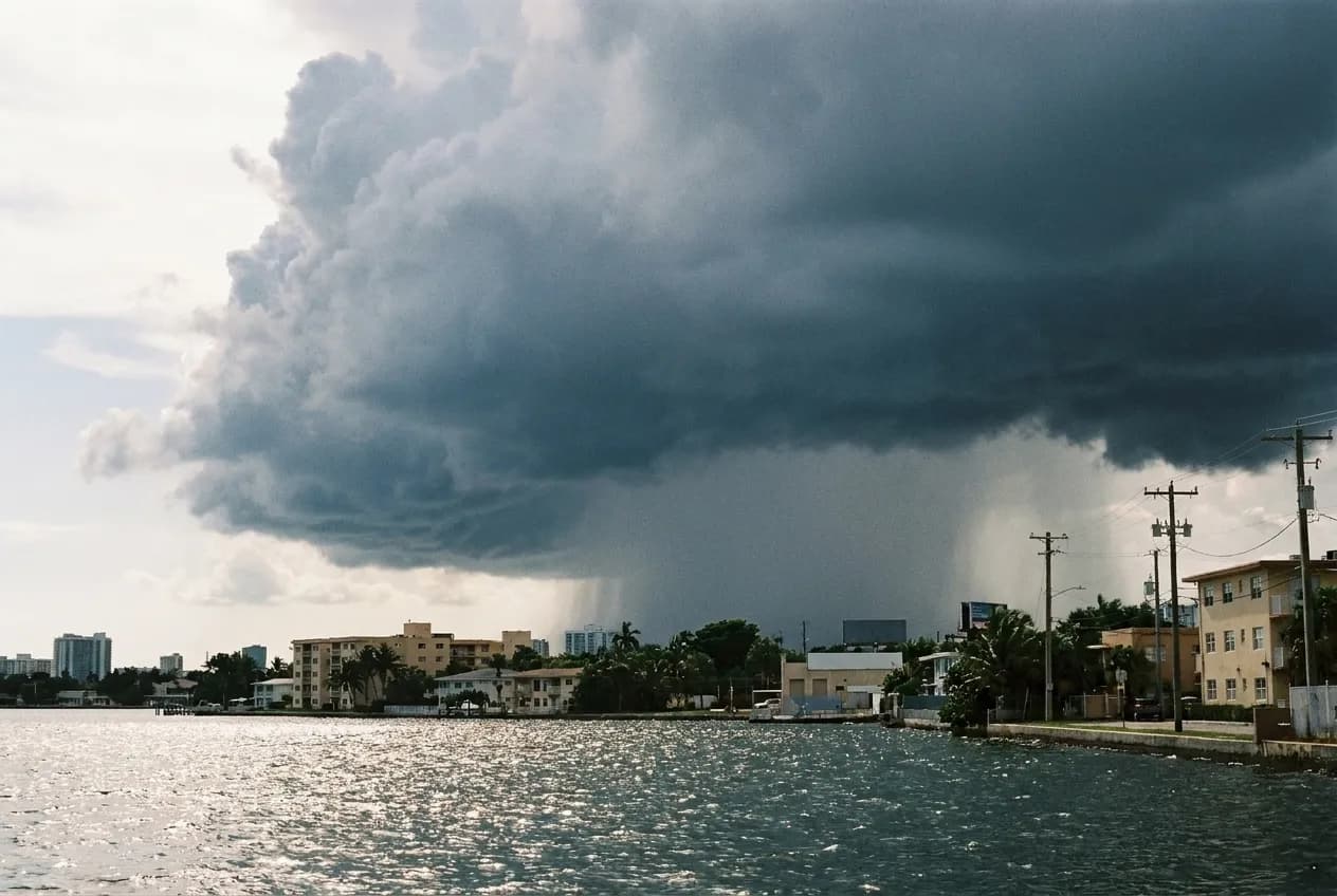
Visitors read a Miami forecast showing thunderstorms every afternoon for a week and quietly write the trip off. That is a misreading of what the forecast means. From roughly May to October this city gets convective storms - heat-driven, locally generated, often violent, and typically over within thirty to sixty minutes. They are not weather fronts and they do not settle in. A day with an eighty percent chance of thunderstorms is usually a day with one storm in it and eleven hours of sun either side. The skill is knowing how to spend those forty-five minutes.
The storm is local, it moves, and the radar will tell you whether it is coming for you or passing two miles north. Tell Karpo where you are standing and get somewhere useful to sit for the next hour.
How the storms actually behave
The mechanism is straightforward. The sun heats the peninsula through the morning, sea breezes push in from both the Atlantic and the Gulf, they collide somewhere over the land, and the resulting lift builds thunderheads through the early afternoon. That is why the storms arrive on a rough schedule - most often between two and five - and why they are so localised. It can pour in Coral Gables and stay dry in Miami Beach at the same moment.
The practical consequence is that a forecast is nearly useless and a radar map is nearly perfect. Look at the actual cell: where it is, which way it is moving, how big it is. A small cell moving away from you is irrelevant. A large one heading in means you have perhaps twenty minutes to be somewhere with a roof. Lightning is the genuine hazard rather than the rain - Florida has more lightning strikes than any other state, and being on a beach or in open water during one of these is a real risk, not a theoretical one.
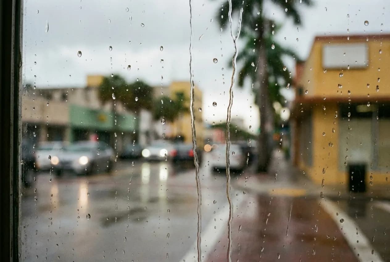
The forty-five minutes: what is actually near you
The best storm shelters are the ones you would have wanted to visit anyway. Downtown, the Pérez Art Museum Miami and the Frost Museum of Science sit next to each other on the bay and are connected to Brickell by the free Metromover, which is elevated and covered - meaning you can move between them without getting wet. That combination is the strongest wet-hour plan in the county.
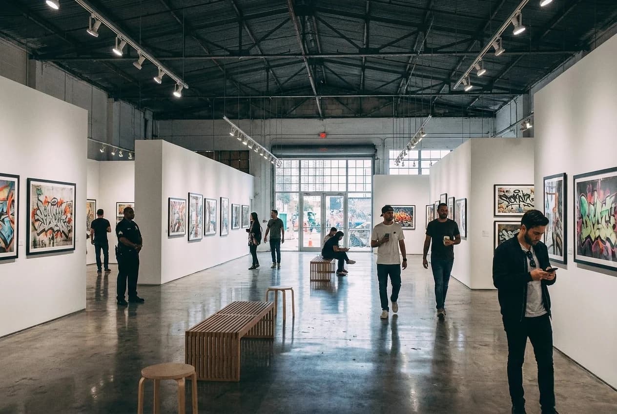
In Coral Gables, the Biltmore's public spaces and the shops around Miracle Mile absorb an hour easily. In the Design District, the covered walkways between the buildings mean you can keep moving. In Wynwood, most of the galleries are indoors and free or cheap, and the breweries have roofs. On the beach, the hotel lobbies along Collins and Ocean are open to anyone who walks in and orders a coffee, and several of the art deco ones are worth seeing on their own terms.
The things that are better in the rain
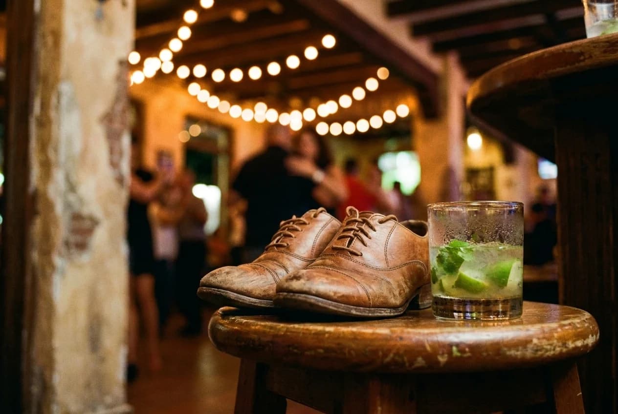
A few Miami experiences genuinely improve during a storm. Sitting under a covered terrace with a view of the bay while a thunderhead crosses it is one of the more dramatic free things available in this city, and the Grove and the downtown waterfront both offer it. A long Cuban lunch - the sort where you order coffee afterwards and stay - is exactly what a forty-five minute interruption is for, and the counters on Calle Ocho are not going to hurry you.
Bookshops, cigar shops with rollers working in the window, and the smaller museums all suit the tempo. So does the Vizcaya house, which is cool and interior and whose gardens you were going to skip in the heat anyway. The general principle: use the storm for the sitting-down part of your day rather than trying to substitute a rushed indoor activity for the outdoor one you lost.
The hour afterwards, which is the best of the day
This is the part almost nobody plans for. When a summer storm clears in Miami, the temperature drops several degrees, the humidity breaks briefly, the light goes low and gold, and the streets are empty because everyone else assumed the day was over. Between about five-thirty and sunset, the city is at its most pleasant and its least crowded, and this happens on most summer days.
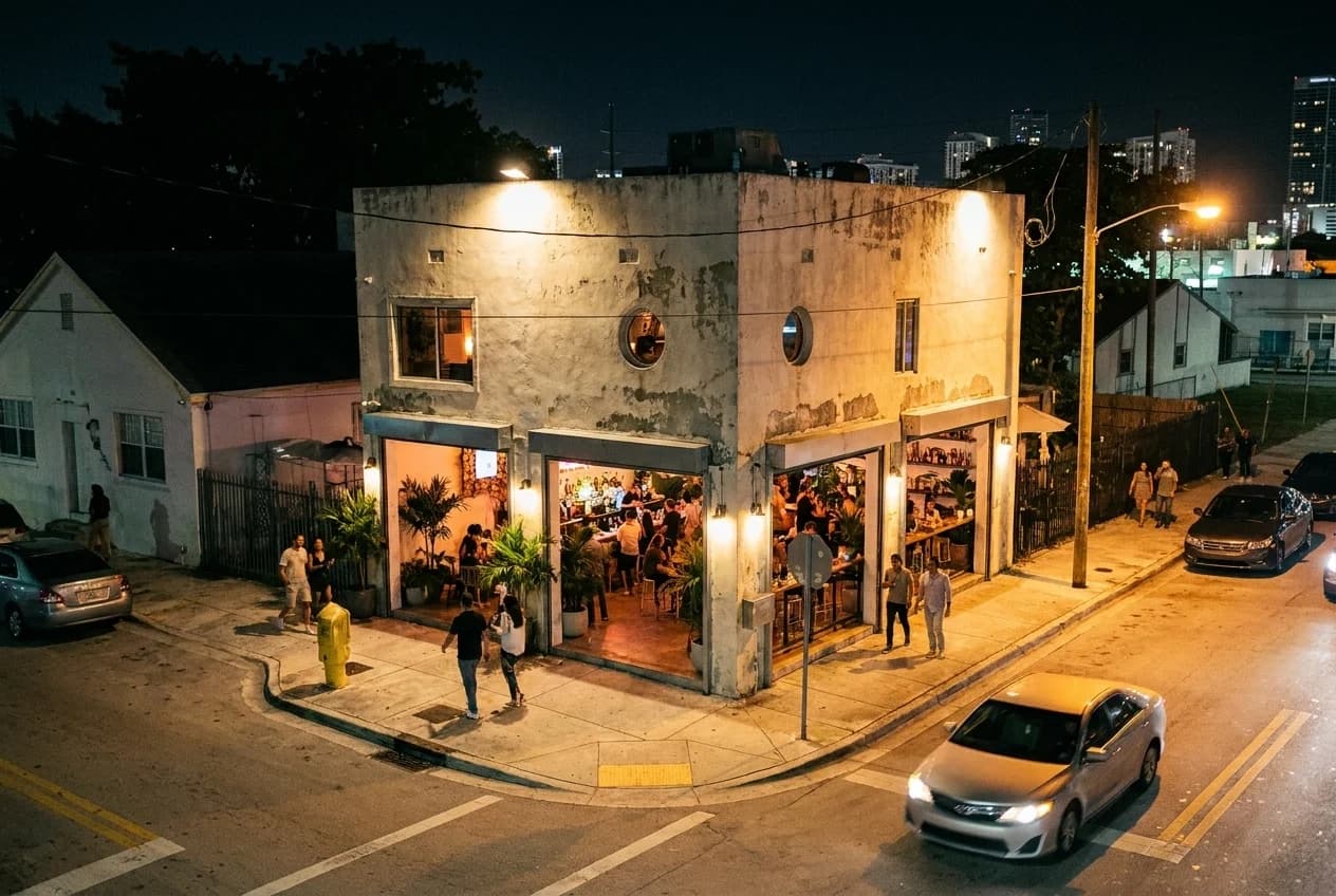
So the correct structure for a summer afternoon is: outdoors until the radar says otherwise, indoors and unhurried for an hour, then back outdoors for the best conditions of the day. Beaches, the causeway walks, the Grove waterfront and the Wynwood streets are all better at six than at two. Plan the good outdoor thing for after the storm rather than before it.
The genuinely wet days, which do exist
Two situations break the pattern and are worth distinguishing. Tropical systems - a depression, a storm, or the outer bands of a hurricane - bring hours or days of rain and wind rather than a single cell, and the response is different: stay in, follow local guidance, and do not go to the beach. Hurricane season runs from June to the end of November, with the peak in late August and September.
The other is winter frontal rain, which is uncommon but does happen between December and March, and behaves like rain anywhere else - grey, steady, all day. That is the one occasion where a full indoor itinerary is genuinely needed, and the museum-and-Metromover combination downtown is the answer for the same reasons as before, just for six hours instead of one.
Practical notes
Use radar, not the percentage forecast - the cells are small and local. Storms cluster between two and five in summer and typically last thirty to sixty minutes. Lightning is the real danger; get off beaches and out of water. The Metromover downtown and in Brickell is free, elevated and covered, which makes it the best wet-weather transport in the county. Rain here is warm, so a light waterproof beats an umbrella in the wind. Streets flood quickly and briefly in low-lying areas - do not drive through standing water. Hurricane season runs June to November with a September peak. And rebuild the day so the outdoor plan sits after the storm rather than before it, because the hour that follows is the best hour Miami has.
Tags: #ThingsToDoNearMe #Miami #MiamiWeather #RainyDay #Thunderstorm #PerezArtMuseum #FrostScience #Metromover #Vizcaya #CoralGables #Wynwood #WeekendPlans #MiamiSummer #HurricaneSeason
All trademarks are the property of their respective owners.
Ask Karpo first
A storm you can see is a much better input than a forecast you read this morning. Ask Karpo whether the cell nearby is heading your way, what is open and covered within a few minutes of where you are standing, and when it is worth going back outside - because the answer is usually sooner than it looks.