 Bernal Heights Pottery Glaze Supply Browsing Route: Walk
Hidden Gems & Odd Finds
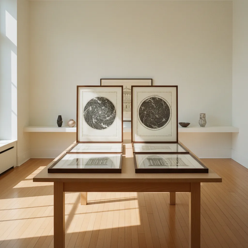
Hayes Valley Antique Print Map Shop Itinerary
Navigate Hayes Valley specialty cartography stops near Patricia's Green with essential rag paper tests, preservation advice, and trail notes.
Hayes Valley has evolved into one of San Francisco's premier design and boutique shopping districts, providing an exceptional setting for discovering an antique print map shop. Centered around the pleasant urban lawn of Patricia's Green, this compact neighborhood blends mid-century modern aesthetic showrooms with independent paper specialists and antiquarian art galleries. Collectors flock here to examine rare historical city plans, European architectural copperplates, and decorative hand-colored natural history folios. With Karpo APP managing your neighborhood walking trail, browsing flat-file drawers and comparing rare paper specimens becomes a relaxing, seamless cultural outing.
Exploring Hayes Street Specialty Design and Print Corridors
The primary retail spine of Hayes Street between Franklin and Laguna streets offers an enticing density of specialty purveyors. In contrast to sprawling suburban antique malls, Hayes Valley boutiques focus on highly curated selections where prints are evaluated for exceptional condition, historical significance, and visual impact. Browsing through gallery drawers reveals early Western geological surveys, hand-tinted botanicals, and detailed 19th-century property boundary maps.
Gallery owners in Hayes Valley often curate inventory that bridges historical cartography with contemporary interior design. This refined focus means collectors can discover striking lithographs from the golden age of American printing displayed alongside museum-grade framing options. Taking time to inspect each print under daylight lamps ensures an accurate assessment of color saturation and paper integrity.
The surrounding side streets, such as Linden and Gough, harbor additional bespoke design studios and framing workshops. These quiet corners offer opportunities to consult directly with master framers who understand how to present antique paper without compromising historical value. Establishing a rapport with local gallerists frequently opens doors to private backroom drawers where fragile early San Francisco maps are carefully conserved.
Evaluating Rag Paper Characteristics and Period Typography
Determining the authenticity and production period of an antique map requires an understanding of historical papermaking techniques. Prior to the widespread adoption of industrial wood-pulp paper in the late 19th century, fine prints were pulled on handmade rag paper derived from recycled linen and cotton rags. This durable material possesses a distinctive tactile warmth, uneven deckle edges, and resistance to the acidic brittleness that plagues later pulp papers.
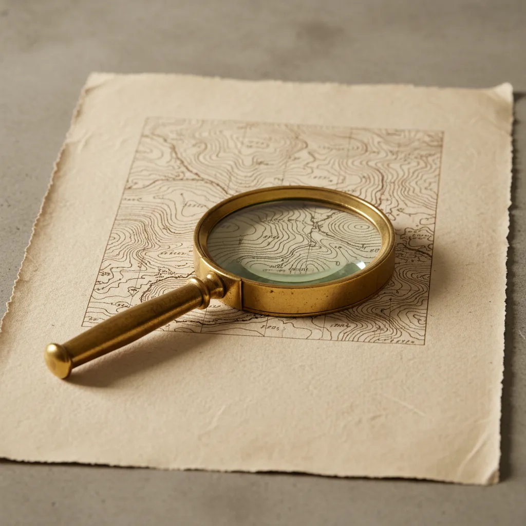
Inspecting the typography and cartographic lettering provides additional clues regarding production dates. Early copperplate engravings feature delicate calligraphic flourished scripts carved directly into the metal plate by skilled master engravers. In contrast, late 19th-century lithographic maps exhibit softer ink contours and characteristic cross-hatching tones. Using a pocket magnifying glass allows collectors to examine font serifs and line work closely for authentic period craftsmanship.
Watermark detection serves as another powerful tool for establishing chronological provenance. By backlighting the sheet with a portable diffused LED light, collectors can identify maker initials, countermarks, or regional crests woven into the papermaking screen. Correlating these symbols with standard watermark reference manuals confirms whether an undated map originated in a 17th-century Dutch mill or an 18th-century French workshop.
Understanding San Francisco Urban Reconstruction Cartography
Collectors focusing on San Francisco history will find the post-1906 earthquake rebuilding period particularly compelling in Hayes Valley. Historical insurance maps produced by the Sanborn Map Company document the neighborhood's dense Victorian residential fabric before and after the devastating fires. These detailed urban plans outline building footprints, exterior brick firewall thicknesses, and water cistern placements across the Western Addition.
Studying these municipal plans illustrates how Hayes Valley transitioned through various phases of infrastructure modernization, including the eventual removal of the elevated Central Freeway in the early 2000s. Maps depicting these successive urban transformations offer a vivid historical timeline of civic resilience. Owning an authentic period survey connects collectors directly to the architectural heritage visible in the neighborhood's preserved Queen Anne Victorians.
Comparing residential insurance folios with commercial real estate surveys from the same decade highlights how building codes evolved following the disaster. The detailed color-coding on Sanborn sheets—yellow denoting frame dwellings, red indicating brick commercial blocks, and blue representing stone foundations—offers an intimate architectural census of turn-of-the-century San Francisco. Framed plates from these historic series make visually arresting focal points for interior design projects across the Bay Area.
Museum-Quality Framing Standards and Climate Control
Investing in antique maps requires thoughtful preservation decisions to maintain their physical condition over generations. Direct exposure to sunlight rapidly degrades natural vegetable and mineral pigments, causing vibrant watercolors to fade irreversibly. When commissioning custom frames, always specify museum-grade conservation glass or ultraviolet filtering acrylic with at least 99 percent UV protection.
Equally essential is the selection of framing materials that come into direct contact with the paper sheet. Standard wood-pulp mat boards emit acidic lignin vapors over time, resulting in unsightly dark mat burns along print borders. Insist on 100 percent cotton rag museum mat board and acid-free Japanese paper hinges attached with wheat starch paste. In home environments, maintain stable temperature and humidity levels to prevent mold outbreaks or dry paper embrittlement.
Afternoon Refreshments Near Patricia's Green and Civic Center
Hayes Valley's pedestrian-friendly scale makes it easy to combine antiquarian shopping with relaxing leisure pauses. Patricia's Green serves as the community's outdoor living room, featuring rotating public art installations, wooden park benches, and lively open space. Grabbing an espresso from a nearby kiosk provides a delightful moment to inspect newly acquired prints safely shielded within protective portfolio sleeves.
A short stroll eastward across Van Ness Avenue connects visitors to San Francisco's grand Civic Center cultural institutions, including Davies Symphony Hall and the War Memorial Opera House. Exploring the monumental Beaux-Arts architecture of City Hall offers an inspiring visual contrast to the intimate Victorian proportions of Hayes Valley. Pairing gallery hunting with an evening concert creates an unforgettable San Francisco day.
Streamline Your Gallery Trail With Karpo APP
Karpo APP helps collectors maximize their time in Hayes Valley by organizing print shops, framing studios, and design boutiques into an integrated neighborhood loop. Users can pin prospective galleries, log specific print sizes, and preview walking routes that avoid congested arterial intersections. The platform keeps your collecting goals organized in one accessible interface.
In addition to store navigation, Karpo APP suggests convenient local cafe stops and outdoor reading spaces where you can examine prints comfortably. Whether you are searching for rare celestial charts or architectural elevations, Karpo APP ensures every stage of your Hayes Valley cultural walk is effortless and well-curated.
Ask Karpo for more information.
Keep reading
- Bernal Heights Pottery Glaze Supply Browsing Route: Walk
 Potrero Hill Pottery Glaze Supply Browsing Route: Walk
 Mission Pottery Glaze Supply Browsing Route: Studio Walk