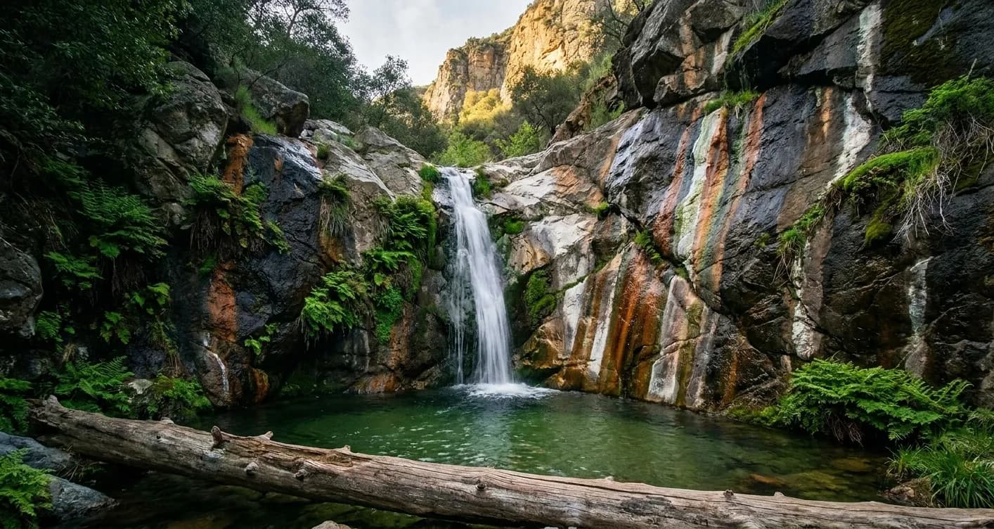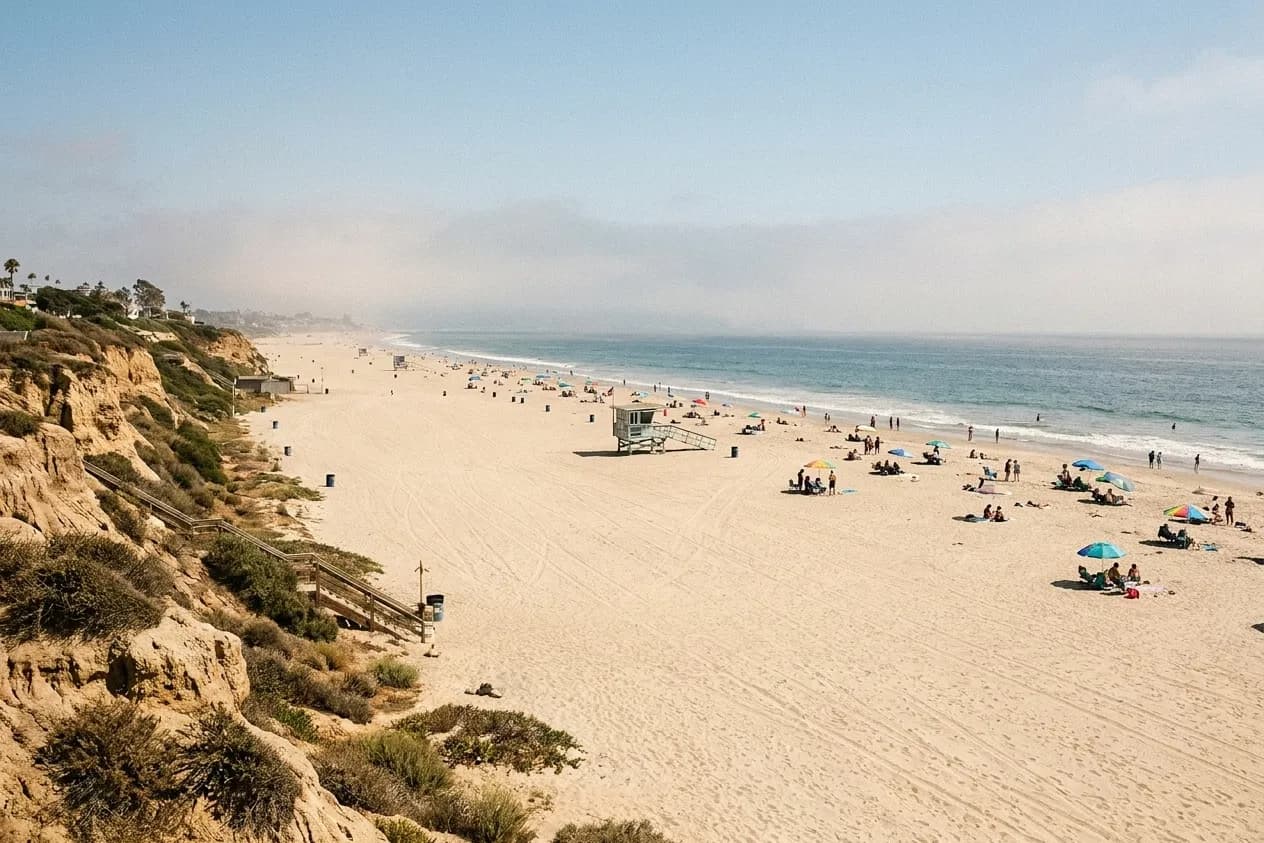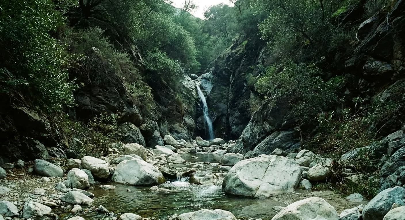
Every list of hidden waterfalls near Los Angeles contains the same handful of canyons, which is a good indication that they are not hidden. The genuinely quiet ones stay quiet for reasons you can identify and then use: they have no parking, no signage, a short season, or an approach that puts off casual visitors. None of that is secrecy. It is structure, and once you can read it you can find quiet canyons yourself rather than queueing at the ones with a name.
The quiet canyons around Los Angeles stay quiet because of specific, findable reasons rather than secrecy. Tell Karpo what kind of walk you want and how far you will drive, and it will point you away from the crowded ones.
Reason one: nowhere to leave the car
The strongest filter on any trail near Los Angeles is parking. A canyon with a paved lot and a restroom will be busy on any pleasant weekend, regardless of how good the walk is. A canyon whose access is six roadside spaces on a curve will be quiet at ten in the morning and empty at eight, because most people will not build a day around that uncertainty.
The practical implication is that quiet costs you an early alarm rather than a longer drive. Arriving at a small trailhead at seven is a different experience from arriving at nine, and the difference is far larger than at a big signposted park where the lot simply absorbs everyone.
Reason two: nobody has named it on a map
A large number of small falls in these mountains have no official name, no sign at the junction, and no entry in the popular trail apps. They exist on topographic maps as a contour pinch and a blue line, and they are found by people reading the map rather than the app. That is a real skill and not a difficult one: look for a stream crossing closely spaced contours in a canyon that holds water into spring.
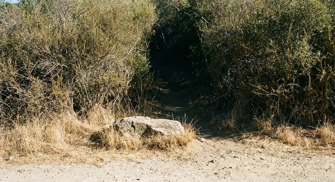
Unnamed does not mean unvisited or unsafe, but it does mean unmaintained. Expect faint use trails, some scrambling over boulders, and no help if the route disappears. Turning round early is a normal outcome on this kind of walk and should be planned for rather than treated as a failure.
Reason three: the season is short
Most falls in the mountains above Los Angeles are rain-fed, which means they run for a few months and then largely stop. The famous ones get visited year-round anyway because the trail is pleasant; the quiet ones are quiet partly because they are only worth the walk for a short window and most people do not track it.
That window is the weeks after sustained winter rain through mid spring. Going then and avoiding the named canyons is the single most effective way to have a waterfall to yourself in this region. Going in late summer to an unnamed creek is how people end up walking two hours to a damp rock face.
Reason four: the approach filters people out
Some canyons stay quiet because getting in involves something most visitors will not do — a long dirt road, a creek crossing that wets your boots, a steep initial descent that has to be reclimbed on the way out, or a stretch of boulder-hopping. None of these are technical, and all of them cut visitor numbers by an order of magnitude.
Choose your filter honestly. A wet-feet approach is fine in April and unpleasant in January. A steep exit is fine at eight in the morning and punishing at two in the afternoon in August. The filter that keeps other people away also applies to you.
Going responsibly, and coming back
Quiet canyons stay pleasant only if they are treated carefully: stay on the use trail where one exists, take everything out, do not build cairns or dams, and be quiet enough that the next group gets what you came for. Burn-scar areas carry genuine debris-flow risk after rain, and canyon access above Los Angeles closes regularly for fire and storm damage — check the managing agency's current status rather than an old article.
Cell coverage is poor in most of these canyons. Download the map, tell someone where you are going, carry more water than the distance suggests, and be back on the road before the light goes. Those four habits cover almost every way this kind of walk goes wrong.
Reading a topographic map for water
Finding an unnamed fall is mostly map reading, and the pattern is consistent. Look for a blue line crossing a band of tightly spaced contours inside a north-facing canyon — north-facing holds shade, shade holds water later into the year, and tight contours mean the stream has to drop suddenly. Where those three coincide there is usually something worth walking to.
Then check the catchment above it. A stream draining a large area upstream will still be running in April; one draining a small pocket may already be dry in March. This is why two canyons a mile apart can be completely different experiences in the same week, and why a photograph from someone else's visit tells you very little about yours.
Tags: #LosAngeles #LA #SoCal #FreeThingsToDo #CheapEats #BudgetFriendly #HiddenGems #Waterfalls #LAEats #LAGuide #ExploreLA #LALocal #LAWeekend #LANights
Sources consulted: fs.usda.gov · lamountains.com · parks.ca.gov
All trademarks are the property of their respective owners.
Ask Karpo first
Karpo is a proactive AI assistant that lives in iMessage. Ask for a canyon that matches your season and your tolerance for a rough approach.