SpaceX Starlink satellite deorbit appeared in Google Trends' U.S. list this week, which means a technical search term is suddenly becoming a group-chat question. In New York, the useful version is not to chase a rumor across rooftops. It is to turn the curiosity into a safe public night-sky route with weather, visibility, and access checks handled before anyone leaves home.
A city route cannot promise a satellite sighting. Cloud cover, timing, light pollution, and official tracking all matter. What it can do is give the group a public place to gather, a way to verify sky conditions, and a backup plan if the sky gives you nothing.
Start with verification, not vibes
Before making the plan, check official sky and space-weather sources instead of reposted clips. NASA's Spot the Station is useful for visible station passes, while NOAA's Space Weather Prediction Center helps explain whether solar activity could affect sky conditions. For any claimed deorbit or reentry, treat social posts as unconfirmed unless they point to a credible source.
That verification step changes the tone of the outing. The route becomes a public night walk with a possible sky bonus, not a promise that everyone will see something rare. That is the difference between a fun city plan and a frustrating rumor chase.
Choose a public skyline anchor
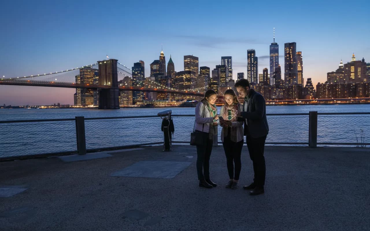
Brooklyn Bridge Park is the cleanest anchor for a group that wants water, skyline, and transit options. It gives the night enough drama without requiring a private rooftop or a risky edge. Use it when the group wants a visual payoff even if the sky event does not cooperate.
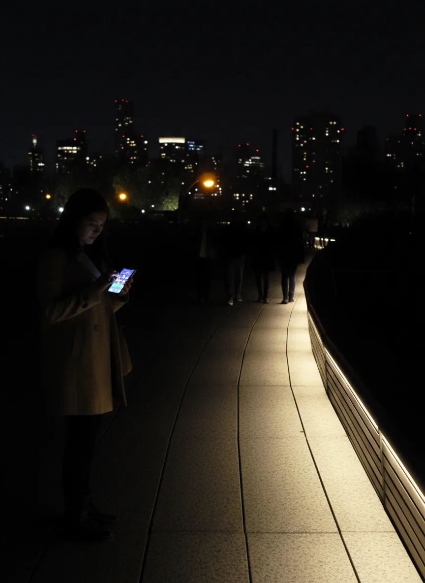
The High Line works differently. It is less about open sky and more about a managed public walk with lighting, exits, and nearby food options. If the group is already on the west side, it can be the easier social route, especially when nobody wants to stand still for an hour.
Do not confuse a better view with better access
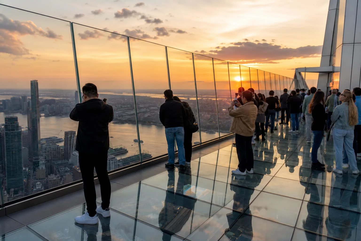
Private roofs, closed piers, restricted terraces, bridge maintenance areas, and dark waterfront edges are not better plans just because they sound higher or more open. If a viewpoint depends on trespassing, leaning over barriers, or ignoring posted rules, skip it. New York has enough legal public viewpoints for a low-risk night route.
Build a weather-aware backup
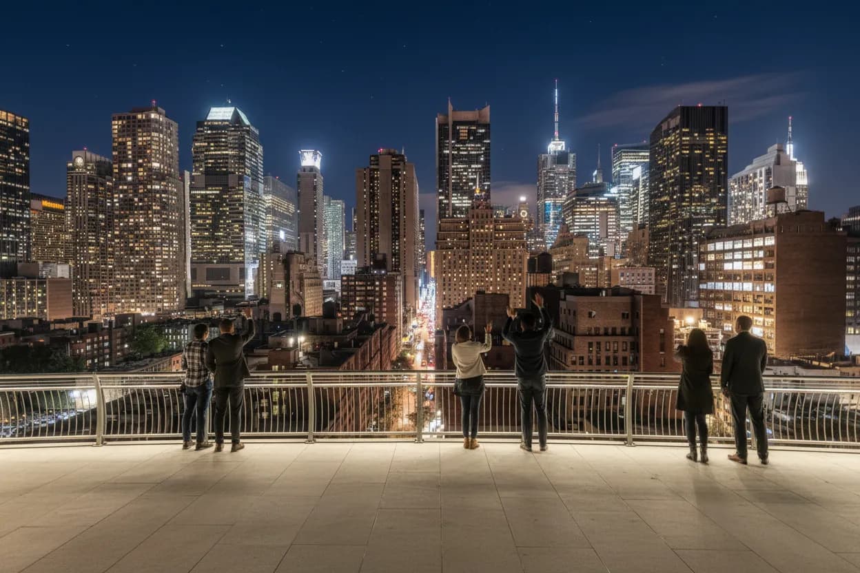
The backup can be simple: a late cafe, a diner, a subway exit everyone knows, or a short walk that still feels worth doing under clouds. The mistake is making the sky the only reward. A strong route gives the group a clean reason to meet even if the forecast changes.
Practical notes
Check weather, park access, transit status, and official sky-tracking sources before leaving. Keep the route public, stay clear of closed areas, bring a portable charger, and agree on one meeting point before the group starts moving along the waterfront.
Tags: #Starlink #SpaceX #NYCNightSky #BrooklynBridgePark #HighLine #FreeNYC #NYC #NightWalk #PublicRoute #SkyWatching #AskKarpo #BeforeYouGo #Summer2026 #CityGuide
Sources consulted: Google Trends - Trending Now US · NASA Spot the Station · NOAA Space Weather Prediction Center · NYC Parks rules and regulations · Brooklyn Bridge Park · MTA subway maps
All trademarks are the property of their respective owners.
Ask Karpo first
Want to know when to show up, where to wait, and what's actually open to the public? Ask Karpo for the latest NYC night-sky updates, a weather-aware public viewing plan, and a live route around Brooklyn Bridge Park, the High Line, and nearby transit exits before you head out.