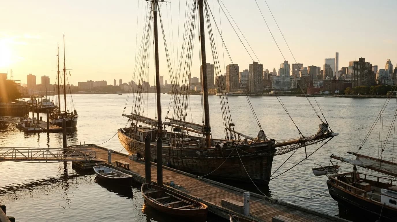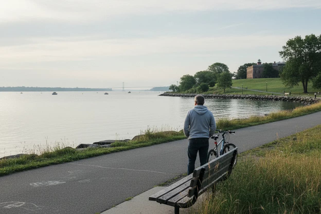
Little Bay Park works best as a quiet morning bike plan, not a grand mileage challenge. The draw is the northeast Queens shoreline: water, open sky, and Throgs Neck Bridge views without committing to a strenuous greenway day. For Queens cyclists and calm-route seekers, the fit is strongest on a breezy clear morning before lunch, especially with one bike friend and a flexible route. The tradeoff is planning. This is not a dense cafe-and-bike-shop corridor, and conditions around park edges, service roads, ballfields, parking areas, and waterfront paths can change. Treat the outing as a short scenic ride with a verification step, not a fully serviced destination.
Want a quieter Queens ride with fewer moving parts? Text Karpo before you leave for a route check, bridge-view timing, transit backup, and nearby-service reality check.
Little Bay Park Works Best as a Short Shoreline Ride
Little Bay Park’s practical appeal is its scale. Riders are not coming here for an all-day circuit or a destination packed with vendors; they are coming for a calm shoreline segment beside Little Bay and the approach to Fort Totten. That makes it a strong fit if the goal is quiet movement, open water, and a manageable morning before lunch. The route should feel intentional, with extra time for slow sections near walkers and park users.
The main decision is whether the ride itself is enough. If your group needs brunch options, bike repairs, rentals, or frequent restroom certainty, build those stops outside the park plan. If the point is an easy waterfront pause with bridge views, Little Bay Park makes more sense. Keep expectations modest: arrive with water, a working lock, a charged phone, and a route already checked against current NYC bike and street-condition sources.
Use the NYC Bike Map Before Pointing Toward Little Bay Park
NYC DOT’s bike resources are the first planning layer for this route. The official Bike Map shows protected lanes, conventional lanes, shared lanes, greenways, bike boulevards, links, Citi Bike stations, bike shops, and rental points where visible at the right zoom level. DOT also notes that its web map is updated periodically and may not show every real-time condition. Use it to choose the calmest approach, then confirm the final few turns separately.
For Little Bay Park, the last-mile choice matters more than the total distance. A rider comfortable in mixed traffic may accept a service-road approach; a cautious rider should look for the most legible low-stress connections and be ready to dismount where the route feels pinched. Do not assume every green line on a map will feel quiet at 10 a.m. Construction, resurfacing, traffic, and weekend sports activity can change the mood quickly.
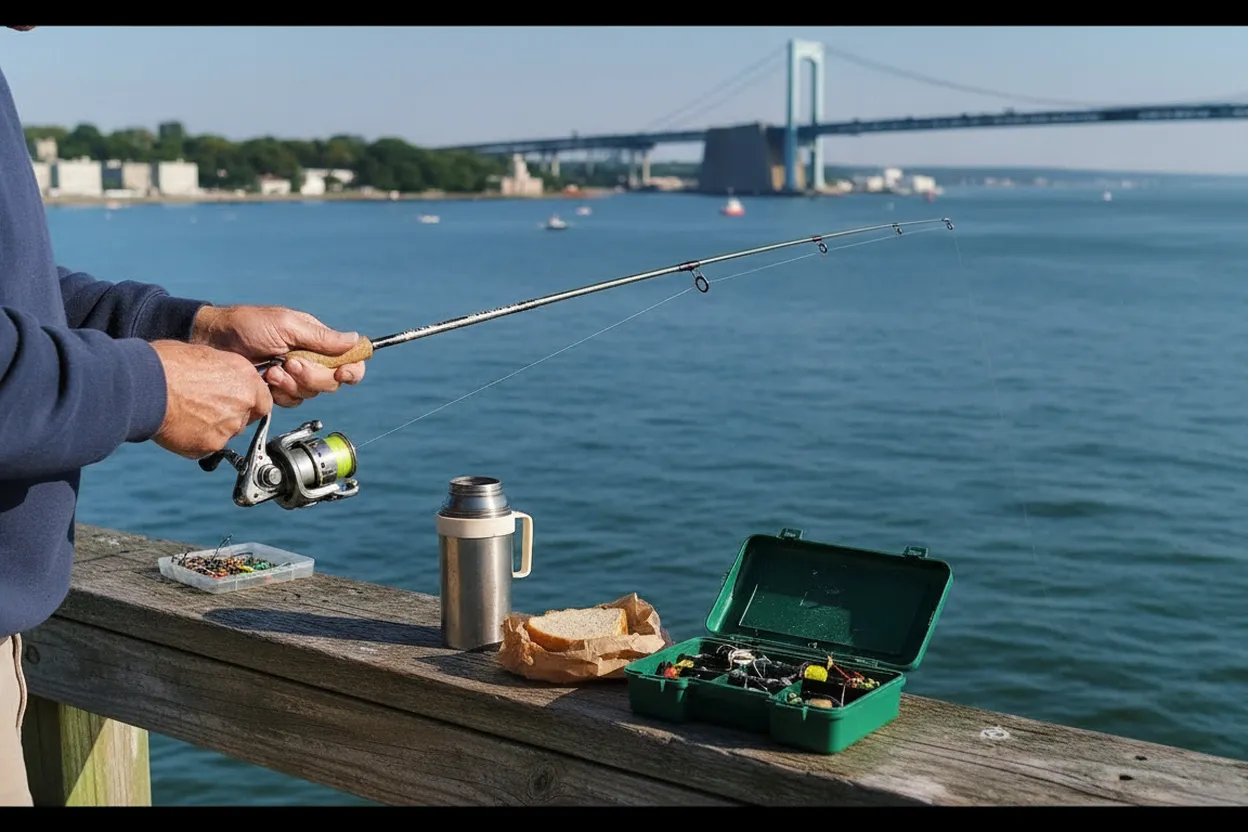
Check Bike-Lane Conditions Around Cross Island Parkway Service Roads
NYC DOT’s Bicycle Infrastructure Conditions map is useful because it is built for temporary friction, not just permanent infrastructure. DOT says it highlights bike-lane impacts tied to street construction permits, planned resurfacing, temporary bike lanes, Open Streets, bike parking, bike-share, and scooter-share stations. It is updated daily from sources that update at different intervals. That wording matters: the map can reduce surprises, but it is still not a guarantee of a smooth curb-to-water ride.
Before leaving, search near the Little Bay Park entrance area and the Cross Island Parkway service-road approaches. If the map suggests lane closures, resurfacing, uneven pavement, or detours, shift the plan from ride-focused to park-focused: take transit closer, shorten the cycling portion, or choose a different Queens waterfront route. The failure mode here is not distance; it is arriving at a stressful road segment with no comfortable workaround and a friend who expected a mellow morning.
Little Bay Park Views Are the Reward, Not a Speed Segment
Once you reach the waterfront, slow down. Little Bay Park is shared space, with walkers, runners, families, dogs, ballfield users, and people simply sitting near the water. A quiet ride only works if cyclists treat the shoreline path as a view corridor rather than a training lane. The bridge backdrop is the reason to come, but stopping cleanly and keeping the bike out of pedestrian flow will make the visit feel calmer for everyone using the park.
The best pacing is simple: roll in, take one slow pass along the water, stop for the bridge view, then decide whether to loop, sit, or continue toward Fort Totten’s edge. If wind off the bay is stronger than expected, shorten the waterfront time and use the ride out as the main movement. On a clear morning, glare can also affect photos and visibility, so sunglasses and a conservative pace help more than extra distance.
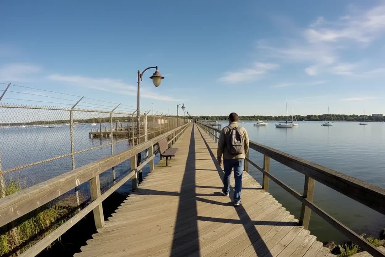
Pair Little Bay Park With Fort Totten Only If Time Stays Loose
Fort Totten sits directly beside this plan, but it changes the rhythm. The Bayside Historical Society lists the Fort Totten entrance at Bell Boulevard and 212th Street, with the Little Bay Park parking lot just outside the entrance. That makes the area easy to combine on foot, but a bike outing can become more complicated if you try to turn it into a history walk, museum visit, and ride in the same short morning window.
If you want the shoreline ride to stay quiet, make Fort Totten optional. The better sequence is bike first, pause by the water, then decide whether your group still has time and energy to continue. Bayside Historical Society’s public access is appointment-oriented, with office hours listed separately, so do not build the ride around a spontaneous indoor stop unless you have confirmed availability. If the appointment piece is uncertain, keep the Castle as a visual landmark, not the anchor.
Use Q13 or Q16 as a Little Bay Park Backup
Transit backup is part of making this a medium-difficulty plan rather than a gamble. MTA Bus Time lists the Q13 as Fort Totten to Flushing via Northern Boulevard and Bell Boulevard, and the Q16 as Fort Totten to Flushing via Bayside Avenue and Utopia Parkway. Both show stops at or near Totten Avenue and Cross Island Parkway, which is the useful transit reference point for Little Bay Park and Fort Totten access.
That does not mean the bus is a perfect rescue for every bike. Before relying on it, check current MTA trip planning, real-time arrivals, bike policy, and your own ability to fold, lock, or retrieve the bike if plans change. For a two-person ride, agree on the backup before starting: turn around early, lock and transit out, or continue to a safer pickup point. The worst backup is one invented after someone is tired or uncomfortable.
Make the Little Bay Park Go Decision at the Curb
The final decision should happen before you commit to the park edge. Check the current NYC Bike Map, the DOT conditions map, MTA status for the Q13 or Q16 if transit matters, weather, wind, and daylight. Then look at the actual road surface, driver behavior, path crowding, and your friend’s comfort. If any piece feels off, reduce the plan: one shoreline stop, no extension, and a direct return by the calmest known route.
Go if the morning is clear, the approach looks comfortable, and both riders are happy with a quiet-view outing that may have limited services. Skip or shorten it if construction affects the final approach, wind makes the shoreline unpleasant, sports traffic crowds the park, or your plan depends on unconfirmed hours, bathrooms, parking, or museum access. Little Bay Park is strongest when treated as a flexible Queens shoreline ride, not a checklist destination.
Tags: #LittleBayPark #QueensByBike #NYCBikeMap #FortTotten #ThrogsNeckBridge #QueensWeekend #BikeNYC #WaterfrontRide #QuietNYC #MorningRide #TransitBackup #AskKarpo #BeforeYouGo #WeekendPlans
Sources consulted: Source 1: nyc.gov · Source 2: nyc.gov · Source 3: bt.mta.info · Source 4: bustime.mta.info · Source 5: baysidehistorical.org
All trademarks are the property of their respective owners.
Ask Karpo first
Tell Karpo your date, group size, budget, and starting neighborhood. We’ll check current access, timing, transit, and the cleanest plan for Little Bay Park before you head out.