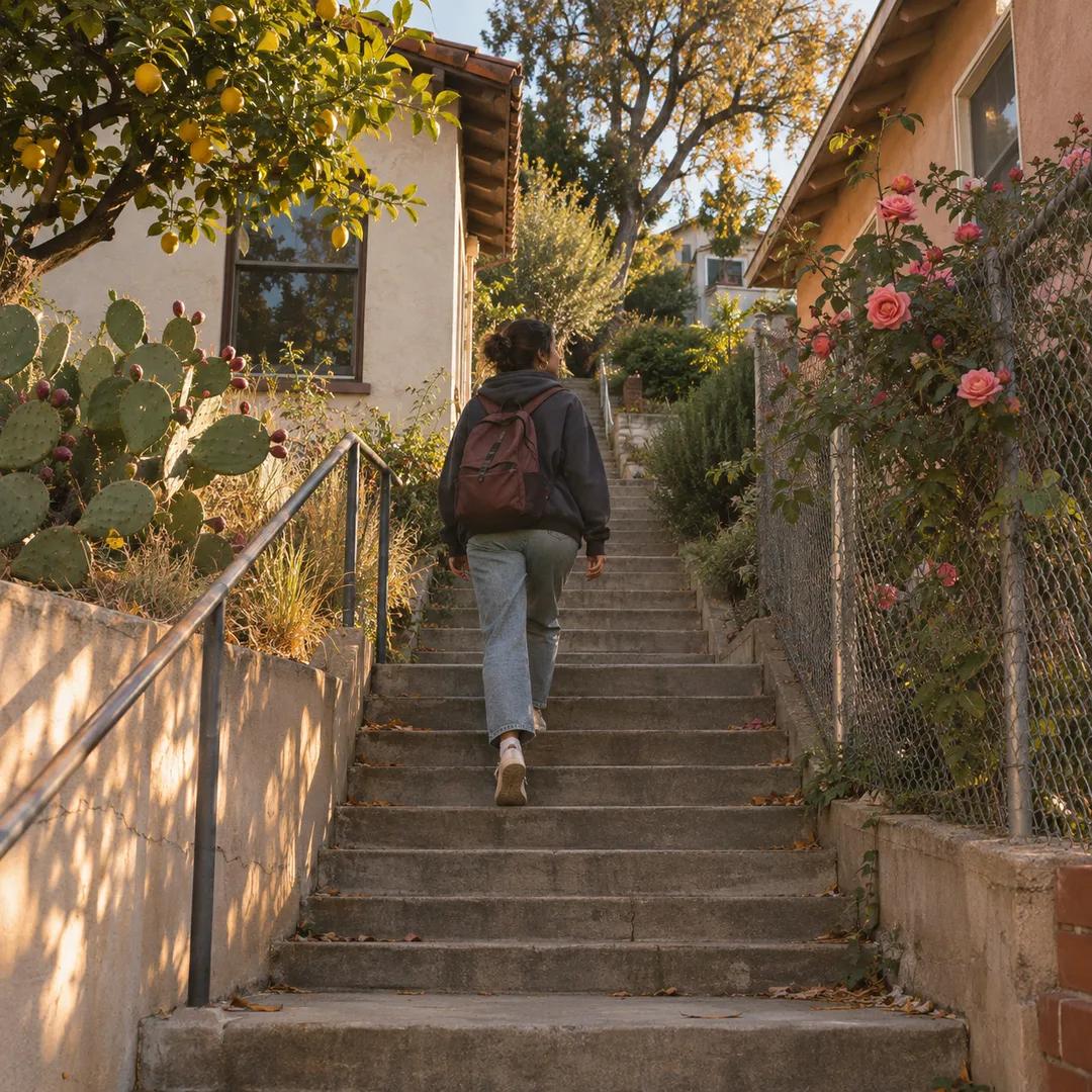
 El Sereno Urban Staircase Walk Planner for a Study Break
Free Things to Do
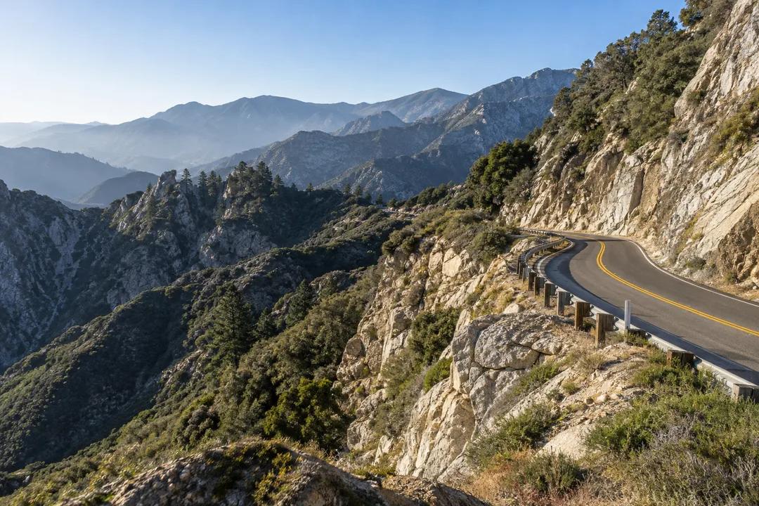
Angeles Crest Highway: Scenic Mountain Drive Near LA
Looking for a scenic drive near Los Angeles? Angeles Crest Highway climbs from La Canada Flintridge into the San Gabriel Mountains for an easy city escape.
Climbing high into the San Gabriel peaks, the Angeles Crest Highway, also known as State Route 2, offers an unparalleled escape from the urban sprawl. Beginning its dramatic ascent at 2222 Foothill Boulevard in the charming neighborhood of La Canada Flintridge, this iconic route is an essential scenic drive near me for anyone seeking alpine grandeur within minutes of Los Angeles. The air immediately crisps, and the suburban hum fades as the road winds skyward, promising panoramic views and a refreshing change of pace, making it a beloved local treasure for nature lovers and road trip enthusiasts alike.
Getting there and reading the route
Departing the 210 freeway at La Canada Flintridge is remarkably straightforward, offering seamless access to this mountain wonderland. Travelers will follow the clear signage to exit directly onto State Route 2 North, which immediately begins its upward trajectory. The initial approach is gentle, a wide two-lane road that swiftly narrows and begins its characteristic curves. This direct connection makes planning your journey simple, ensuring you spend less time navigating urban streets and more time ascending into the rugged beauty of the San Gabriel Mountains, truly a gateway to adventure.
A thrilling alpine ascent past granite gorges defines the early stages of this magnificent route. The two-lane highway, impeccably maintained, snakes through steep canyons, offering a smooth yet exhilarating drive. Drivers will experience a gradual but consistent climb, with numerous sweeping curves that demand attention but reward with incredible vistas. The asphalt surface is generally excellent, providing a confident grip as you navigate the changing elevations. The speed pace naturally varies, encouraging a leisurely exploration rather than a hurried dash, allowing full appreciation of the unfolding mountain scenery and engineering marvels.
Road conditions and viewpoints
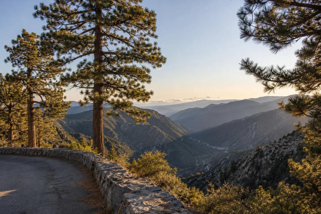
Dramatic mountain saddles and pine canyons unfold as you gain elevation, revealing signature viewpoints that are truly unforgettable. Sweeping turnouts offer safe places to pull over and absorb the breathtaking panoramas of the Los Angeles basin, stretching to the Pacific Ocean on clear days. Higher up, the landscape transforms into dense pine forests, with sunlight dappling through the canopy. These overlooks are perfectly positioned to capture stunning photographs or simply to pause and immerse oneself in the vastness of the San Gabriel Mountains, a truly majestic visual feast.
Trailhead recreation areas and mountain cafe snacks provide welcome breaks along the journey. While driving State Route 2 is free, parking at designated trailhead recreation sites requires a $5.00 Forest Service Adventure Pass. For those seeking refreshment, a hot cup of chili at mountain lodge cafes runs $9.00, offering warmth and sustenance amidst the cool mountain air. Bottled water is available for $2.50, ensuring you stay hydrated during your explorations. These amenities enhance the experience, providing comfort and convenience without detracting from the natural beauty, making for a well-supported adventure.
Forest Service Adventure Pass requirements are important for those planning to stop and explore beyond the scenic overlooks. A $5.00 pass is necessary for parking at various trailheads and picnic areas within the Angeles National Forest. This helps maintain these valuable recreational resources. Drivers should always adhere to posted speed limits, especially on curves, and be mindful of wildlife. The primary access point is at 2222 Foothill Boulevard, ensuring a clear start to your mountain journey.
Weekend motorcycle traffic and winter snow gates are important considerations for planning your visit. On weekends, especially during pleasant weather, the route can become quite popular with motorcyclists and car enthusiasts, leading to increased traffic. To avoid congestion and enjoy a more tranquil experience, consider visiting on a weekday morning. During winter months, specific sections of the highway may be closed due to snow and ice, with gates indicating impassable conditions. Always check road conditions before heading out, particularly in colder seasons, to ensure safe passage and avoid disappointment.
Road regulations and driving etiquette
Decades of monumental mountain road engineering culminated in the Angeles Crest Highway's completion in 1956. This ambitious project carved a vital artery through the rugged San Gabriel Mountains, connecting communities and opening up vast wilderness areas for recreation. The design vision was to create a scenic parkway, not just a utilitarian road, a testament to early 20th-century craftsmanship. Its construction involved overcoming immense topographical challenges, resulting in a route that is both a feat of engineering and an aesthetic masterpiece, enduring as a beloved thoroughfare for generations of Angelenos.
Pacific Crest Trail crossing and wilderness hikes are easily accessible from various points along the highway. Numerous trailheads branch off the main road, inviting adventurers to explore the vast network of paths within the Angeles National Forest. Hikers can connect with sections of the world-renowned Pacific Crest Trail, offering opportunities for both short strolls and more ambitious backpacking trips. These trails provide an intimate experience with the diverse flora and fauna of the San Gabriels, allowing you to immerse yourself in the natural beauty far from the sounds of the city.
Historic origins and design
National Forest turnouts and elevation notes are crucial for a safe and enjoyable trip. Ample turnouts are provided for scenic viewing and rest stops, ensuring drivers can safely pull over. While there are no parking meters, remember the $5.00 Adventure Pass for designated recreation areas. EV charging stations are not readily available directly on the highway, so plan accordingly. Weather conditions can change rapidly at higher elevations; be prepared for cooler temperatures and potential winds.
Alpine enthusiasts and mountain road explorers find their haven on this route. It caters perfectly to solo drivers seeking contemplative solitude, couples enjoying a romantic escape, and photographers chasing the perfect light. The varied terrain and stunning backdrops make it an ideal setting for capturing dramatic landscapes. Whether you're a seasoned mountaineer or simply someone who appreciates a beautiful drive, the Angeles Crest Highway offers something for every type of traveler, fostering a sense of adventure and wonder in all who traverse its winding path.
Practical Notes and parking
Crisp mountain air and vibrant autumn pines create distinct seasonal delights on this route. While summer brings pleasant breezes and clear skies, autumn transforms the landscape with stunning foliage, especially in areas with deciduous trees, painting the canyons in hues of gold and crimson. Winter blankets the higher elevations in snow, offering a magical, pristine environment, though road closures are possible. Spring bursts forth with a profusion of wildflowers, adding splashes of color to the rugged terrain. Each season offers a unique and captivating experience, making every visit a fresh discovery.
Foothill town diners and mountain-base coffee shops offer delightful culinary pairings for your drive. Before or after your ascent, explore the charming eateries in La Canada Flintridge, where you can find everything from cozy cafes serving freshly brewed coffee to family-owned diners with classic American fare. Consider grabbing a gourmet sandwich or a pastry to enjoy at one of the scenic turnouts. These local establishments provide a pleasant bookend to your mountain adventure, allowing you to savor both the natural beauty and the local flavors.
Who this scenic drive suits best
Heading deeper into the Angeles National Forest offers opportunities to extend your adventure beyond the immediate route. The highway is a gateway to numerous other forest roads and wilderness areas, allowing for multi-day explorations or deeper dives into specific recreational zones. Consider venturing towards Big Pines or Wrightwood for additional hiking, camping, or winter sports. This route serves as a spine from which countless other mountain adventures can unfold, inviting you to discover more of Southern California's magnificent natural heritage.
Savoring the alpine grandeur above Southern California provides a mindful urban exploration unlike any other. This drive is more than just a road; it's an experience that reconnects you with nature, offering profound tranquility and breathtaking beauty just a stone's throw from the bustling city. Each curve reveals a new vista, each stop an opportunity for reflection. It's a reminder of the wild heart beating so close to civilization, a perfect escape for renewing the spirit and appreciating the majestic landscapes that define this unique corner of the world.
Ask Karpo for more information.
Keep reading
- El Sereno Urban Staircase Walk Planner for a Study Break
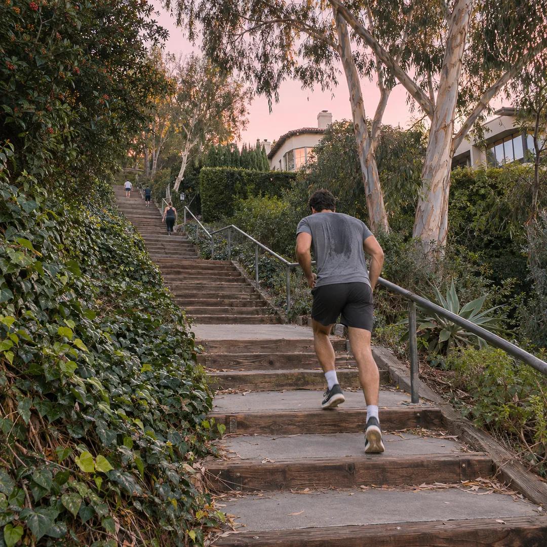 Santa Monica Urban Staircase Walk Planner Before Meetings
 Mount Washington Urban Staircase Walk Planner: Hike Prep