 El Sereno Urban Staircase Walk Planner for a Study Break
Free Things to Do
Silver Lake LA Scenic City Skyline Viewpoint Walks
Climb a Silver Lake LA scenic city skyline viewpoint route from historic hillside stairs to reservoir paths using Karpo APP to plan ridge stops.
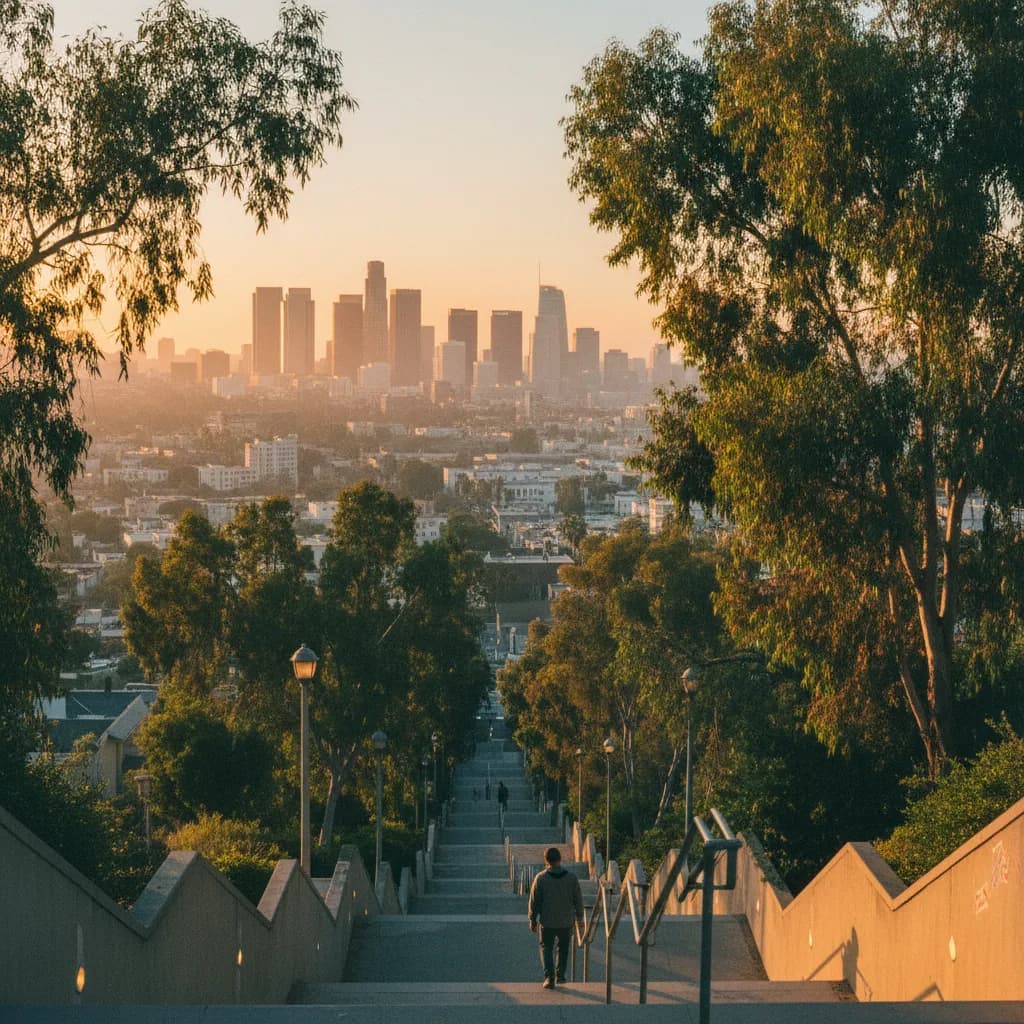
Reaching the top landing of the Mattachine Steps above Cove Avenue while late-afternoon sunlight cuts across the palm-dotted hills of Echo Park, the clustered glass towers of Downtown Los Angeles stand framed to the southeast against the distant San Gabriel Mountains. Exploring a scenic city skyline viewpoint in Silver Lake relies on the network of public concrete staircases built in the 1920s to connect hillside homes with former Red Car streetcar lines in the valleys below. Combined with the flat two-mile pedestrian path encircling the Silver Lake Reservoir, these steep ridge connectors give walkers both high-angle metropolitan skylines and open water horizons without needing a car. Storing your stairway entrances and ridge intersections in the Karpo APP helps you link hillside climbs with level reservoir loops at golden hour.
Mattachine Steps And Eastern Ridge Views Toward Downtown Los Angeles
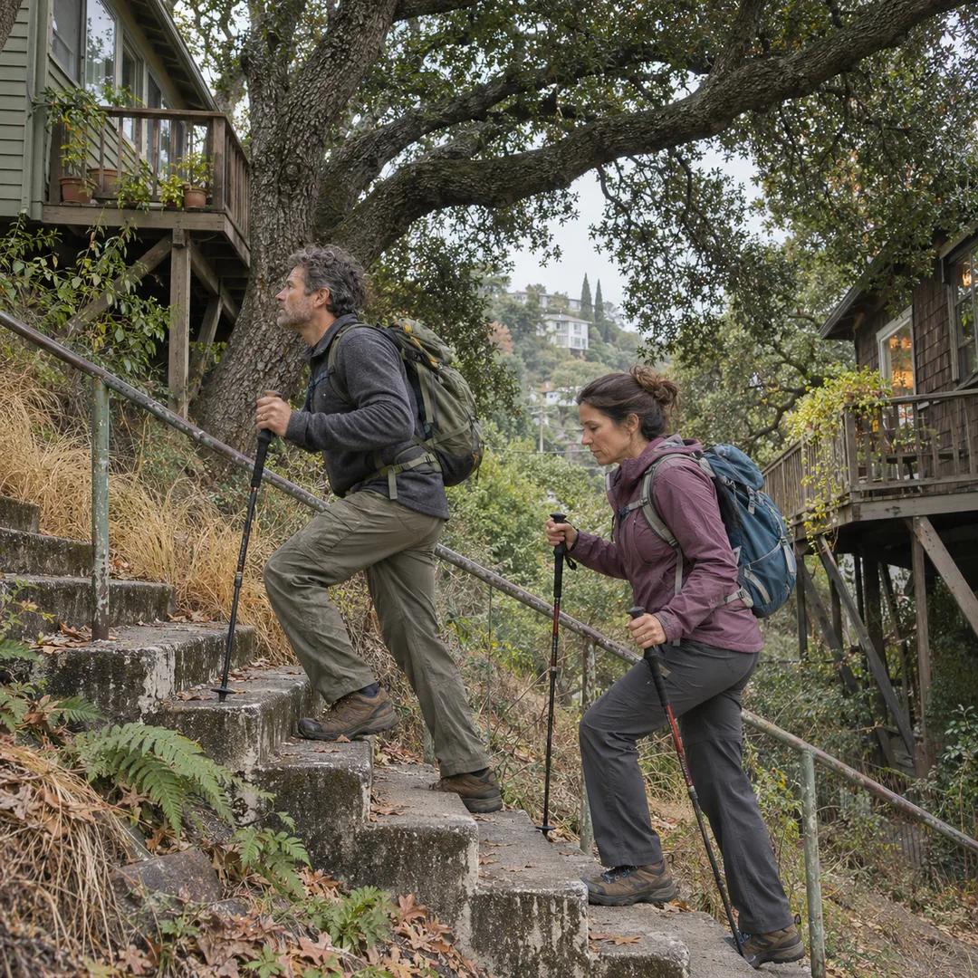
Rising up the eastern hillside from Cove Avenue near Silver Lake Boulevard, the Mattachine Steps climb in long concrete flights through terraced succulents, bougainvillea vines, and mid-century hillside bungalows. Dedicated in 2012 to honor the pioneering 1950 gay rights organization founded in the neighborhood by Harry Hay, this historic public stairway lifts you rapidly above the Sunset Boulevard corridor. Turning around at the upper landing where Cove Avenue meets the crest opens a wide southeastern sightline straight toward the Downtown Los Angeles skyline, anchored by the crowned 1989 U.S. Bank Tower and the spire of Wilshire Grand Center completed in 2017.
Further north along the same eastern ridge, the Baxter Street Steps climb beside one of the steepest residential grades in the city between Echo Park and Silver Lake. Standing on the upper ridge near Baxter Street and Apex Avenue lets you look out over the Elysian Park hills in the foreground while the downtown high-rises catch the warm glow of the western sun. Saving both Cove Avenue and Baxter Street inside the Karpo APP allows you to compare two elevated eastern viewpoints within a twenty-minute ridge walk.
Micheltorena Stairs And Western Crest Sightlines
West of Sunset Junction, the Micheltorena Stairs ascend from Sunset Boulevard toward Larissa Drive and Micheltorena Street, offering a gentler entryway into the western Silver Lake hills. Painted risers and shaded eucalyptus branches line the lower flight, while walking two blocks north along Micheltorena Street from the upper landing reveals dual horizons across the Los Angeles basin. Looking east between hillside roofs frames the Downtown skyscraper core, while looking northwest captures the white copper domes of Griffith Observatory, completed in 1935 on the southern slope of Mount Hollywood.
Neighborhood runners, architectural photographers studying modernist hillside homes by Richard Neutra and Rudolf Schindler, and locals walking dogs frequent these quiet ridge lanes in the late afternoon. Because traffic on the narrow hillside streets moves slowly, you can pause along the sidewalks above Sunset Boulevard to frame telephoto shots of the downtown towers without highway noise. Recording the Larissa Drive and Micheltorena Street junction in the Karpo APP keeps your transition from Sunset Boulevard to the reservoir basin clear.
Silver Lake Reservoir Southern Berm And Mountain Horizons
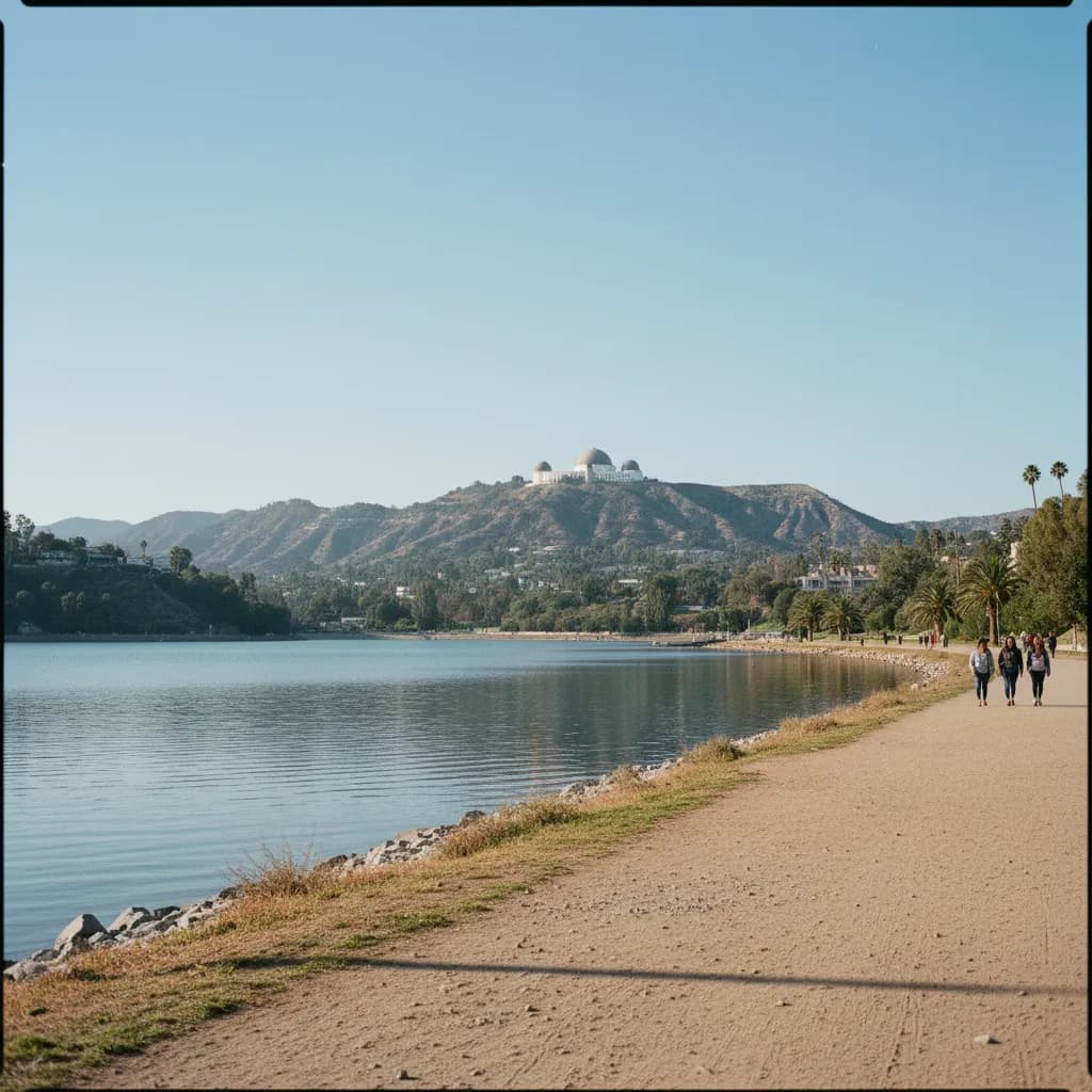
Dropping down from the western hills to Silver Lake Boulevard brings you to the southern earthen dam berm of the Silver Lake Reservoir, originally engineered by William Mulholland and completed in 1907 as part of the municipal water system. A flat paved pedestrian path crosses the southern berm and loops two point two miles around the Silver Lake and Ivanhoe reservoir basins, separated from vehicle traffic by chain-link fencing and native landscaping. From the center of the southern berm walkway, the open water surface points north toward the San Gabriel Mountains and northwest toward the Hollywood Hills.
At the northeastern corner of the loop near the Silver Lake Meadow, opened as a public grassy park in 2011 along Silver Lake Boulevard, wide lawns give walkers a relaxed foreground for watching twilight colors reflect across the basin. Great blue herons, cormorants, and migratory ducks rest along the concrete reservoir embankments while eucalyptus silhouettes frame the surrounding canyon ridges. Pairing the level reservoir perimeter path with the vertical stairway climbs of Micheltorena Street or Cove Avenue inside your Karpo APP walking plan balances energetic hillside ascents with an easy waterfront stroll.
Midday Heat And Narrow Curb Sections To Skip Plus Metro Backups
Skip climbing the exposed concrete flights of the Baxter Street Steps or Mattachine Steps between noon and three o'clock on hot summer and early-autumn afternoons, when unshaded concrete risers radiate heat and midday haze softens distant downtown tower contrast. Late afternoons after four o'clock or crisp winter mornings following a rainstorm provide the sharpest visibility across the Los Angeles basin. You should also skip walking along narrow uncurbed stretches of winding hillside streets after dark, sticking to illuminated stairways and the main Sunset Boulevard sidewalks.
Whenever evening chill or rare winter rain rolls across the hills, walk down to Sunset Boulevard at Micheltorena Street or Silver Lake Boulevard, where Metro Bus Line 2 and Line 4 run frequently between Downtown Los Angeles, Echo Park, and the Vermont and Sunset Metro B Line subway station. The pedestrian plaza at Sunset Triangle Square, established in 2012 where Griffith Park Boulevard meets Sunset Boulevard, offers outdoor seating near transit stops while you check your saved route notes in the Karpo APP.
Sequencing A Reservoir-To-Stairway Sunset Loop
Start a ninety-minute Silver Lake skyline walk at the southern berm of the Silver Lake Reservoir two hours before sunset, strolling along the water's edge from Silver Lake Boulevard toward the Micheltorena Street hillside approach while afternoon light illuminates the northern Hollywood Hills and Griffith Observatory. Taking twenty minutes to cross the southern dam path lets your eyes adjust to the wide geometry of the valley before you climb into the terraced residential ridges.
Climb the Micheltorena Stairs to Sunset Boulevard, walk east past Sunset Triangle Square to Cove Avenue, and ascend the Mattachine Steps forty minutes before sunset. Reaching the upper Cove Avenue landing as the sun sinks toward the Pacific turns the Downtown Los Angeles skyscrapers deep gold and rose against the eastern sky. Reviewing your saved stairway and bus sequence in the Karpo APP lets you descend directly to Sunset Boulevard for an easy bus ride home at dusk.
Ask Karpo for more information.
Keep reading
- El Sereno Urban Staircase Walk Planner for a Study Break
 Santa Monica Urban Staircase Walk Planner Before Meetings
 Mount Washington Urban Staircase Walk Planner: Hike Prep