 El Sereno Urban Staircase Walk Planner for a Study Break
Free Things to Do

Culver City Scenic City Overlook Trail Up the Baldwin Hills
Climb the famous stairs on this Culver City scenic city overlook trail to the Baldwin Hills summit, then follow free paths with views from mountains to sea.
Culver City has one of the most direct scenic city overlook trails in Los Angeles. Right at the eastern edge of town, a long stairway of uneven concrete blocks climbs a dusty slope to the Baldwin Hills Scenic Overlook, a state park perched roughly five hundred feet above the basin. From the top you can trace the coastline, the Hollywood Hills, downtown and, on a clear day, Catalina Island. Pair it with a stroll through downtown Culver City and you have a free outing that mixes workout, film history and big sky.

A Hilltop Rescued From Development
The Baldwin Hills were long dominated by oil wells, and pumpjacks still nod on the neighboring Inglewood Oil Field. In the early 2000s, community groups and the state worked to keep a stretch of the ridge open to the public instead of letting it become housing. The Baldwin Hills Scenic Overlook opened as a California state park in 2009, with native plant restoration, a visitor center at the summit and two ways up. It sits within a larger web of protected land that now links several parks across the hills.
The Stairs Versus the Switchbacks
Most people come for the stairs, usually counted at around 280 steps, which run straight up the face of the hill without rails for much of the climb. The blocks vary in height, so the pace is uneven and your calves will notice. If you prefer something gentler, a dirt trail winds up beside the stairs in long switchbacks and reaches the same summit. A popular approach is to take the stairs up and the trail down, which spares your knees on the descent and gives you two different perspectives on the same slope. From the summit you can still watch working pumpjacks on the neighboring field.
What You See From the Summit
The top flattens into a broad viewing area with benches and interpretive panels. Facing northeast, the downtown towers sit in a tight cluster, with the San Gabriel Mountains behind them. Turn north for the Hollywood Hills and the Griffith Observatory dome. Swing west and the Westside spreads toward Santa Monica and the ocean. To the south lie the oil field, the airport approach paths and the long grid of the South Bay. Planes descending into LAX trace a steady line across the sky, which children usually love to count.
Starting in Downtown Culver City
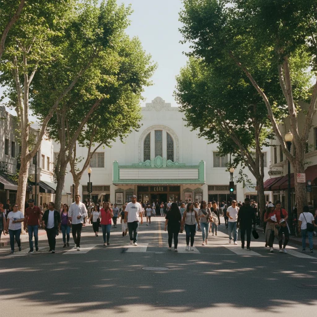
Before or after the climb, spend time in downtown Culver City, about a mile and a half west. The town grew up around film studios in the 1910s and 1920s, and the former MGM lot, now home to Sony Pictures, still occupies a large block along Washington Boulevard. The triangular Culver Hotel, opened in 1924, anchors the main intersection. The Kirk Douglas Theatre, set in a restored 1940s movie house, sits a block away. The streets are walkable and lined with cafes, which makes them the natural refueling stop.
Linking the Overlook by Foot or Bike
You can connect downtown and the overlook along Ballona Creek, which runs west to east across Culver City with a paved bike and walking path on its bank. The path continues all the way to Marina del Rey if you want a longer ride. East of the overlook, the Park to Playa Trail links the Baldwin Hills parks with a pedestrian bridge over La Cienega Boulevard, letting you continue into Kenneth Hahn State Recreation Area and its own ridgetop views. Combining both turns a short climb into a full half day.
Best Light and Weather
Mornings bring cooler air and the busiest stair traffic, as local runners do repeats before work. Late afternoon turns the hills golden and puts the sun behind the ocean view, which is lovely but leaves downtown backlit. The cleanest visibility usually comes after winter rain or when Santa Ana winds have cleared the haze. Summer days can be hot on the exposed slope with almost no shade, so start early in warm months and bring water.
Who Shares the Hill With You
The overlook draws an unusually wide mix of people. Fitness groups from nearby neighborhoods meet at the base with stopwatches and matching shirts. Families from Culver City and the Crenshaw area bring grandparents up the gentler switchbacks, pausing on benches halfway. Photographers wait at the summit for the moment when the downtown windows catch the sun. Students from nearby schools sometimes visit on field trips to learn about native plants and the area's oil history. That blend gives the place a friendly, neighborhood feel even when it is busy, and many regulars are happy to point out landmarks on the horizon if you ask.
Trail Etiquette on a Busy Hill
The stairs are narrow, and serious athletes use them for interval training. Keep to one side if you need to stop, and avoid sitting across the full width of a step. Dogs and bikes have specific rules in state parks, so read the posted signs at the base. The park closes at night and rangers enforce it, so plan to be down before dark. Pack out everything you bring, since the restored native plants are fragile.
How Karpo Fits Into the Day
Tell Karpo in the Karpo APP that you want the stair climb, a ride along Ballona Creek and lunch in downtown Culver City. Karpo can suggest an order for these stops and nearby places to eat or cool down afterward. It does not monitor crowds, heat or air quality in real time, so look at the forecast before you start the climb.
Getting There and Getting Ready
The Metro E Line stops at La Cienega and Jefferson, a short walk from the base, and at Culver City station near downtown. A parking lot sits at the bottom of the hill, and street parking fills quickly on weekends. Wear shoes with solid grip, bring sunscreen and carry more water than you think you need. Restrooms and drinking fountains are available near the summit visitor center. Allow two to three hours for the climb and downtown, longer if you add the bike path. A sunset climb is tempting, but leave enough time to walk down in good light.
Ask Karpo for more information.
Keep reading
- El Sereno Urban Staircase Walk Planner for a Study Break
 Santa Monica Urban Staircase Walk Planner Before Meetings
 Mount Washington Urban Staircase Walk Planner: Hike Prep