 El Sereno Urban Staircase Walk Planner for a Study Break
Free Things to Do
Silver Lake Historic Quarry Nature Walk: 4 Free Trail Steps
Plan historic quarry nature walk routes around Silver Lake hills. Navigate reservoir trails and Elysian Park sandstone bluffs using Karpo APP.
Boarding the Metro Line 4 bus along Sunset Boulevard brings walkers to Sunset Junction in Silver Lake, a trendy enclave renowned for creative coffee houses, indie boutiques, and historic mid-century hillside architecture. While visitors frequently visit the neighborhood for dining and vintage shopping, an observant historic quarry nature walk reveals that the surrounding hills and canyons rest on Miocene sandstone and siltstone formations that were excavated during early twentieth-century reservoir and road construction. Karpo APP provides an intuitive walking guide that connects vibrant avenue corridors with peaceful lakeside walking loops and historic stone stairways, guiding outdoor lovers through an inspiring Southern California landscape.
Walk From Sunset Junction to Reservoir Loops
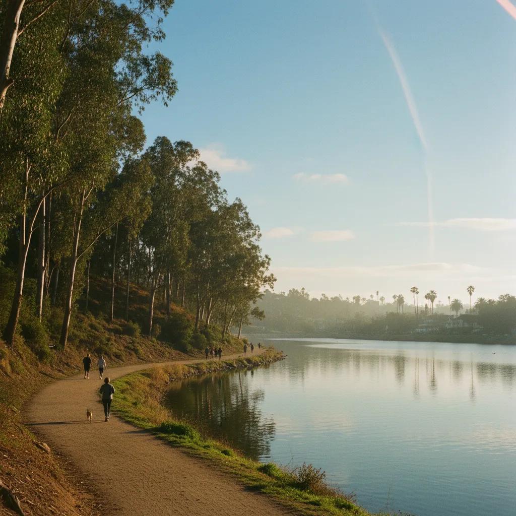
Begin walking northeast from Sunset Junction along Griffith Park Boulevard toward the Silver Lake Reservoir complex. As you approach the water, the streetscape transitions into open green space bordered by towering eucalyptus, coastal live oaks, and flowering jacarandas. The Silver Lake and Ivanhoe reservoirs were constructed in the early 1900s by municipal water pioneer William Mulholland, who engineered massive earthen dams and stone-lined retaining walls utilizing quarried rock and aggregate excavated from nearby hillside cuts. Joining the unpaved pedestrian trail along the reservoir perimeter provides an expansive, level walking loop surrounded by scenic hill vistas.
Strolling along the two-and-a-quarter-mile reservoir loop allows walkers to examine historic stone culverts, retaining walls, and riprap embankments that stabilize the reservoir perimeter. The bedrock beneath Silver Lake belongs to the Puente Formation, a sedimentary sequence of layered sandstone, shale, and conglomerate deposited in ancient marine basins millions of years ago. Hillside road cuts and public staircase excavations throughout the surrounding neighborhood reveal thin, alternating beds of tan sandstone and dark siltstone, showcasing the layered geology that underlies modern Los Angeles.
Examine Sandstone Formations and Historic Steps
For walkers seeking elevation and dramatic rock views, venturing eastward from the reservoir toward the borders of Elysian Park opens up rugged hillside trails. Elysian Park, established in 1886, is Los Angeles' oldest public park, featuring steep natural ridges, scenic canyon overlooks, and dramatic sandstone rock bluffs. Climbing the dirt trails above Chavez Ravine brings you alongside exposed rock faces that display the erosive effects of wind and seasonal rain on soft marine sediments. Shaded picnic groves beneath native walnut trees and stone retaining walls built by the Civilian Conservation Corps in the 1930s offer tranquil spots to rest and contemplate the city's natural topography.
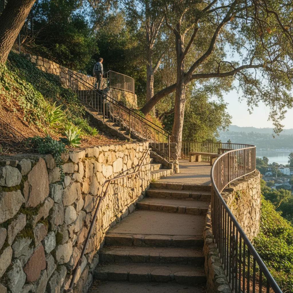
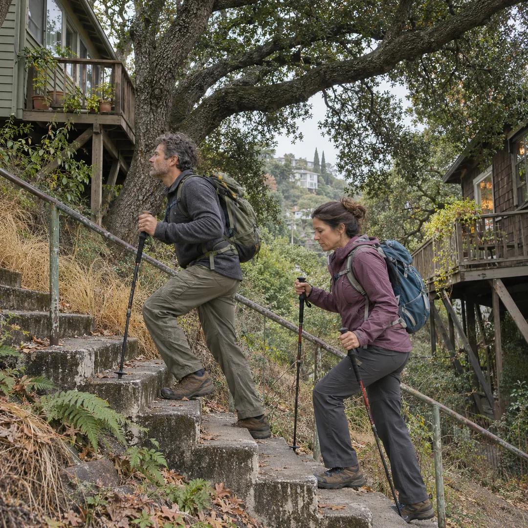
Returning toward the reservoir along public staircases such as the Mattachine Steps or the Swan's Way stairs provides an intimate exploration of hillside residential stonework. These historic municipal staircases, built in the 1920s to connect hillside homeowners with valley trolley lines, incorporate hand-hewn granite steps and mortared river rock retaining walls. Climbing these peaceful outdoor stairways offers elevated perspectives of the water sparkling below, framed by blooming bougainvillea and native chaparral clinging to steep rock banks.
Schedule Early Morning Hours to Beat Valley Heat
Cool morning intervals Lake nature walk during early morning hours between seven and nine-thirty guarantees the coolest temperatures and most pleasant lighting. Morning sun illuminates the eastern hills and reflects softly across the reservoir waters, creating serene conditions before midday heat warms the valley. Early morning also offers quiet trails utilized primarily by neighborhood runners and birdwatchers, giving you space to photograph scenic vistas and observe migratory waterfowl resting on the water without crowded path congestion.
Mixed terrain footing of flat gravel paths, steep residential stairways, and occasional dirt trails, wearing supportive walking shoes with flexible cushioning and good tread grip is essential. Dressing in lightweight, breathable athletic clothing topped with a sun hat and UV-blocking sunglasses protects against intense California sunshine. Carrying a refillable water bottle ensures you remain hydrated throughout several miles of walking in the dry Mediterranean climate.
Walk Safely Along Shared Hillside Roadways
Residential street awareness and neighborhood courtesy is important while exploring hillside stairways and streets. Certain connecting segments lack continuous sidewalks; always walk facing oncoming traffic and remain alert on narrow, winding residential curves. When climbing public staircases, keep conversation at respectful volume levels, as stair treads pass directly alongside private homes and gardens. Staying on designated public paths ensures a peaceful and welcoming experience for everyone.
Returning toward cafes reservoir and hill loop, heading back to Sunset Junction along Silver Lake Boulevard offers an inviting conclusion to your outing. Shaded cafe patios, artisanal bakeries, and cold juice bars provide pleasant spaces to relax, recharge, and review your walking accomplishments. Pairing a refreshing natural trail loop with local neighborhood culture makes for an enriching Los Angeles morning. Having a clear route map ensures a smooth and effortless return to transit.
Map Los Angeles Stairways With Karpo APP
Hillside trail mapping as a reliable guide for navigating Silver Lake's intricate hillside geography, offering detailed pedestrian maps that identify public staircases, scenic viewpoints, and accessible water refill stations. The app helps you link reservoir trails with surrounding hill parks without getting turned around in winding dead-end lanes. Instead of wrestling with confusing map apps, you enjoy clear, real-time guidance that adapts smoothly to your walking pace.
Marking scenic spots lets users bookmark interesting geological exposures, historic stone masonry features, and scenic sunset benches for future walks. Saving and sharing custom walking itineraries with friends makes it easy to organize weekend outdoor adventures and celebrate local landscape history. With Karpo APP handling route navigation, you can focus completely on the refreshing beauty of open water, shaded hillsides, and expansive city views.
Practical Tips for Traversing Silver Lake Trails
Helpful walking pointers pointers will help maximize your Silver Lake walking experience. The complete circuit from Sunset Junction around the reservoir and back covers approximately three miles, taking between an hour and a half and two hours at an unhurried pace. Public restrooms are located at the Silver Lake Recreation Center and the Meadow Park on the east side of the reservoir. Always stay mindful of designated pedestrian lanes along the reservoir path to ensure safe coexistence with local joggers and dog walkers.
Appreciating reservoir geology reservoir paths, historic stone stairways, and sandstone ridges of Silver Lake offers an uplifting window into the natural foundation of Los Angeles. From historic rock-reinforced reservoir banks to rugged chaparral bluffs overlooking the downtown skyline, this walking route celebrates the timeless harmony of water, stone, and urban design. With proper sun protection, comfortable walking shoes, and the guidance of Karpo APP, walkers of all backgrounds can enjoy an inspiring nature retreat in the heart of the city.
Ask Karpo for more information.
Keep reading
- El Sereno Urban Staircase Walk Planner for a Study Break
 Santa Monica Urban Staircase Walk Planner Before Meetings
 Mount Washington Urban Staircase Walk Planner: Hike Prep