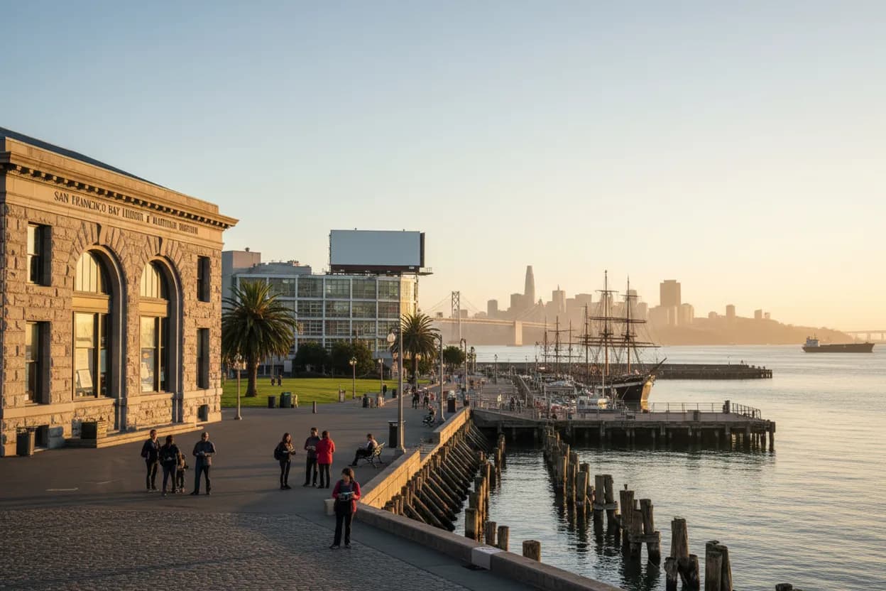
The online fascination with a hoover dam reservoir ghost town points to a real Western story: St. Thomas, Nevada, was flooded as Lake Mead rose, and the National Park Service says its remains are visible again as water levels have lowered. San Francisco has a different, closer version of that question. The city’s water story is not a visible ruin under a reservoir; it is a layered route through Hetch Hetchy engineering, buried waterfronts, civic archives, and bayfront exhibits. On a foggy weekend afternoon, this low-difficulty walk works best as a curious, archival loop: start with context, walk the old working shoreline, then finish where primary records can correct memory.
Want the route without juggling tabs? Text Karpo for a San Francisco water-history pin set, live library-hour check, and a fog-proof backup stop before you head out.

Start At The SFPL San Francisco History Center On Larkin Street
Begin at the San Francisco History Center on the sixth floor of the Main Library at 100 Larkin Street. SFPL describes it as both a research collection for San Francisco life and history and the archives for the City and County of San Francisco. That matters for this route because water history is partly infrastructure and partly paperwork: maps, clippings, photographs, public reports, and older debates that rarely fit on museum labels.
This is the best first stop for solo readers, students, and anyone who wants primary material before walking. The tradeoff is that archival research is slower than sightseeing. Some collections may be non-circulating, partially indexed, or easier with librarian guidance, so treat the first 45 minutes as orientation. If you need accommodations, SFPL lists accessibility resources; for group or class visits, the History Center asks for advance coordination.
Use Civic Center Muni Or BART Before Walking North
For a car-light version, arrive near Civic Center and use the Main Library as the starting anchor. From there, continue by transit or a measured walk toward the Embarcadero and northern waterfront, depending on weather, energy, and time. This keeps the afternoon low effort and reduces the biggest failure mode: losing time to parking, garage costs, and street closures around major civic events.
If fog turns into steady rain, split the itinerary instead of forcing a waterfront march. Stay inside the Main Library longer, then take Muni toward Fisherman’s Wharf for the Maritime Visitor Center. The route is most comfortable for a solo walker or one friend; a larger group should agree on one research question, such as Hetch Hetchy, buried ships, or shoreline change, so the archive stop does not sprawl.

Trace Hetch Hetchy Through SFPUC Maps, Not Desert Ruins
San Francisco’s water system is not Hoover Dam, but the comparison helps. SFPUC says the Hetch Hetchy Regional Water System begins at Hetch Hetchy Reservoir in Yosemite National Park, impounded by O’Shaughnessy Dam, then moves through powerhouses, pipelines, treatment facilities, tunnels, and Bay Area reservoirs before reaching customers. That makes the city a receiving end of mountain water, not a place to hunt for exposed ghost-town walls.
Use SFPUC’s public system pages as your fact spine before repeating any dramatic story. The agency says its regional system serves 2.7 million residents and thousands of businesses across San Francisco and wholesale Bay Area customers. If you cannot confirm a reservoir level, project date, facility access rule, or current service alert, say so plainly and verify it through SFPUC before making plans around it.
Walk The Embarcadero For Buried Waterfront Clues
After the archive stop, move toward the Embarcadero to turn documents into street sense. San Francisco’s hidden-water story is often horizontal rather than submerged: former coves, filled shoreline, working piers, seawalls, and Gold Rush-era ground beneath today’s streets. The walk is practical on a foggy afternoon because it offers frequent transit exits, level stretches, and indoor pauses without requiring a long hike.
The risk is over-romanticizing every old brick or pier as evidence. Keep the walk disciplined: look for official plaques, museum interpretation, library maps, and reputable histories rather than viral claims. If wind on the bayfront becomes uncomfortable, shorten the outdoor leg and continue north by streetcar or bus. Accessibility varies block by block, so curb cuts, construction fencing, and crowding should guide the exact path more than a fixed mileage goal.
Read The Waterfront Exhibit At San Francisco Maritime Visitor Center
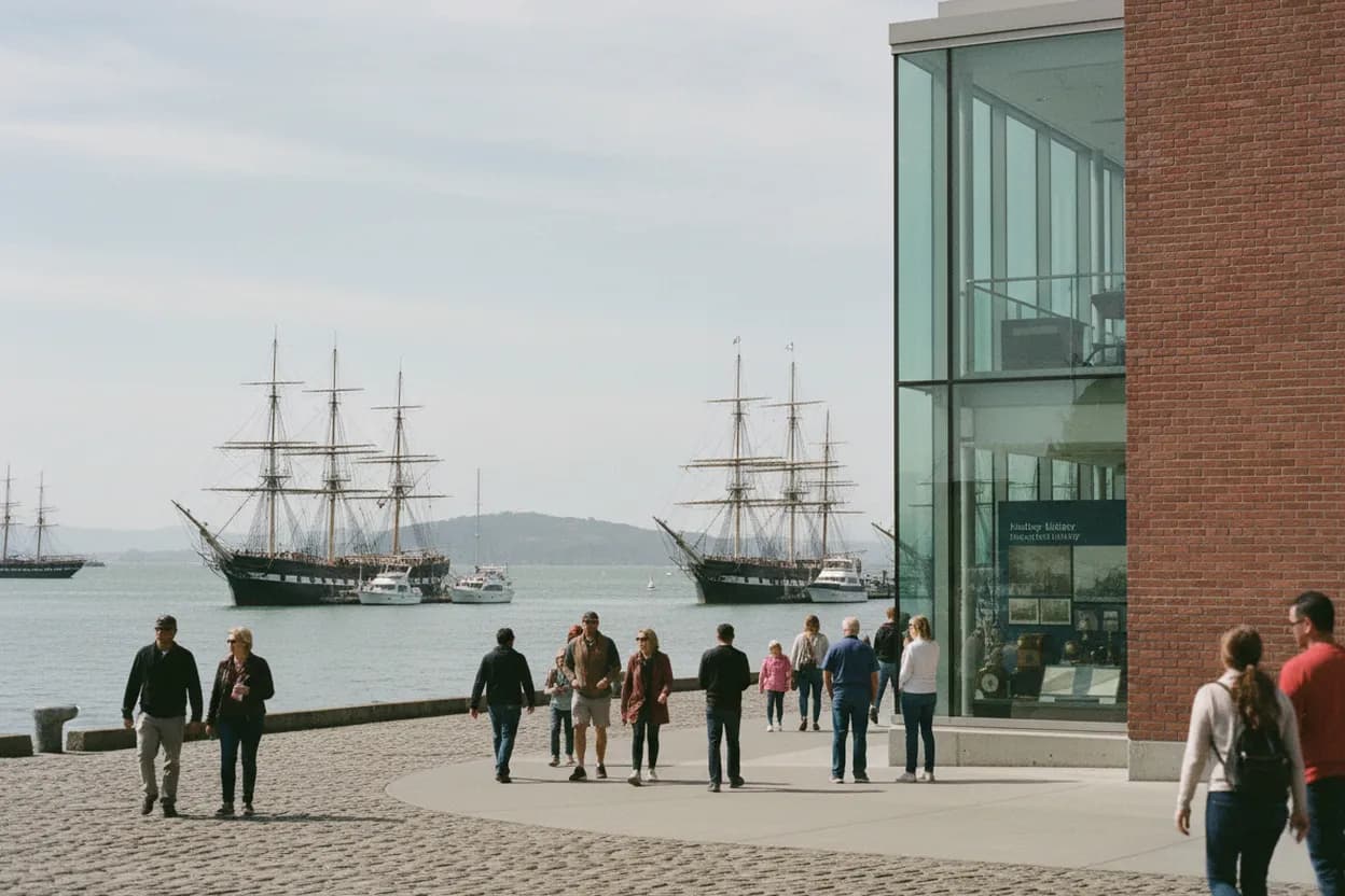
The San Francisco Maritime National Historical Park Visitor Center is the strongest museum stop for this angle. The National Park Service places it inside the historic Haslett Warehouse and describes exhibits on voyage, discovery, cultural diversity, and the Bay Area’s maritime history. Its waterfront exhibit recreates historical San Francisco neighborhoods, making it useful for connecting shoreline change with daily life rather than treating water infrastructure as abstract engineering.
Check the current NPS visitor-center page before leaving because hours and access details can shift. The visitor center is a better bet than chasing ship access: NPS says Hyde Street Pier is closed during the rebuild project, with ships temporarily moved to Mare Island Naval Shipyard in Vallejo. That detour may suit maritime specialists, but it is too far and uncertain for this compact San Francisco afternoon route.
Use Aquatic Park Cove As The Outdoor Pause
Aquatic Park Cove gives the route a needed pause between reading and more reading. The National Park Service frames San Francisco Maritime around the cove, historic landmarks, and waterfront stories, and the setting lets you watch the bay, seawall edge, swimmers, boats, and historic buildings in one frame. It is not a reservoir ghost town, but it is a visible lesson in how cities organize water for work, recreation, safety, and memory.
Build in 20 to 30 minutes here, especially on a foggy afternoon when the light can make the waterfront easier to read than photograph. The main tradeoff is exposure: wind, slick pavement, and crowded weekends can make lingering less comfortable. If benches are full or conditions feel poor, move indoors at the Visitor Center or continue to another Maritime park site only after checking current hours and access.
Verify Today’s Hours Before Leaving The Main Library
Make the final action boring and useful: verify today’s hours, closures, and transit before committing. SFPL’s Main Library page lists the Larkin Street address, phone number, public-transit resources, Wi-Fi, printing, and study-room information, but hours can change for holidays, staffing, or building issues. For the Maritime stop, use the NPS Plan Your Visit and Visitor Center pages because third-party listings may lag behind pier construction updates.
Your backup logic should be simple. If the History Center is unavailable, use SFPL digital collections and ask a librarian where to start next. If the waterfront is too windy, keep the day indoors at the Main Library plus the Maritime Visitor Center. If someone in your group needs step-free routing, confirm elevator, restroom, and transit details first. Before you go, save the official pages, then check them again the morning of your walk.
Tags: #SanFrancisco #SFHistory #WaterHistory #HetchHetchy #HiddenGems #CivicCenter #Embarcadero #AquaticPark #MaritimeHistory #LibraryRoute #FoggyAfternoon #SoloWalk #AskKarpo #BeforeYouGo
Sources consulted: Source 1: nps.gov · Source 2: sfpuc.gov · Source 3: sfpl.org · Source 4: sfpl.org · Source 5: home.nps.gov · Source 6: home.nps.gov
All trademarks are the property of their respective owners.
Ask Karpo first
Tell Karpo your date, group size, budget, and starting point. We’ll check current access, timing, transit, and the cleanest San Francisco plan for San Francisco waterfront, public libraries, and water-history exhibits before you head out.


