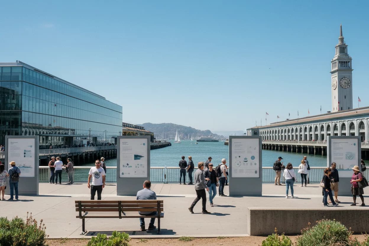
Greenland is showing up in search boxes again, but San Francisco has a quieter way to process the curiosity: put it beside the bay, where sea level, fog, ferries, food systems, and public science are visible in one compact walk. This guide is built for a weekend afternoon anchored at the Exploratorium on Pier 15, with the Ferry Building and Embarcadero as the utility spine. It works for solo wandering, students, visiting friends, and anyone who wants climate context without turning the day into a lecture. Because hours, tickets, tides, and transit can change, the best version is planned lightly and verified the morning you go.
Want a route that adjusts around fog, museum hours, and Ferry Building crowds? Text Karpo before you leave for a city-specific plan you can tap through on the waterfront.

Start at Embarcadero Station for the Pier 15 Walk
Use Embarcadero Station as the practical starting point, especially if you are coming by BART or Muni Metro. From there, the Exploratorium says Pier 15 is roughly a 10 to 15 minute waterfront walk, which keeps the day simple and avoids the parking gamble near the piers. The route is flat enough for most groups, but fog and wind can make it feel colder than the forecast suggests, so pack a real layer.
The tradeoff is exposure: the Embarcadero is scenic, direct, and easy to navigate, but there are few moments when you are fully out of the bay breeze. If someone in your group tires quickly, start with the F Market streetcar instead of walking the whole way. SFMTA lists stops at the Ferry Building and along the Embarcadero, but check live arrivals because weekend headways can stretch plans.
Use the Exploratorium at Pier 15 as the Climate Anchor
The Exploratorium is the strongest indoor anchor for this route because it turns abstract climate thinking into physical observation. Its public visit page lists more than 650 all-ages exhibits in a waterfront museum between Pier 39 and the Ferry Building. As of August 11, 2026, regular museum hours are Tuesday through Saturday 10 a.m. to 5 p.m., Sunday noon to 5 p.m., and closed Monday, with Thursday After Dark hours for adults.
Do not treat the museum as a quick lobby stop. Tickets are paid, prices vary by age or category, and the Tactile Dome requires reservations and a separate ticket. If your main question is climate, start with exhibits that make perception, atmosphere, water, and systems tangible, then use the bay outside as the second classroom. The failure mode is arriving late, finding a special closure, or assuming every exhibit fits every access need.
Step Outside to Fisher Bay Observatory Gallery and Terrace
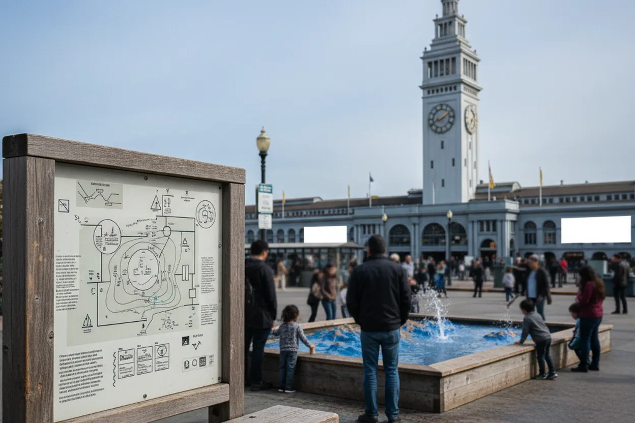
Inside the museum, prioritize the Fisher Bay Observatory Gallery and Terrace if you want the walk to feel tied to San Francisco rather than interchangeable science content. The point is not to find a Greenland exhibit on demand; it is to compare distant ice-sheet curiosity with the local shoreline, ferries, currents, bridge views, and buildings sitting at the edge of the bay. That connection is concrete enough for students without oversimplifying the science.
For sensory planning, the Exploratorium identifies quieter spaces and outdoor areas, and says late afternoon generally gets calmer after 3 p.m. That matters on a foggy weekend, when crowds can concentrate indoors. If sound, light, or fatigue become problems, use the hand-stamp re-entry option, take a bay-facing break outside, and return selectively. Accessibility details should be checked directly with the museum for specific needs before committing.
Walk the Embarcadero Bay Trail Toward the Ferry Building
After the museum, turn south on the Embarcadero toward the Ferry Building. This stretch overlaps the broader San Francisco Bay Trail idea: a regional shoreline route that MTC describes as more than 350 miles of connected walking and cycling paths around San Francisco and San Pablo bays. You only need a small piece of it here, but naming the trail helps frame the waterfront as infrastructure, not just a postcard.
Keep the pace slow enough to look at seawalls, piers, ferry traffic, and places where people gather close to the water. That is the utility of this route: climate learning becomes a walkable set of observations. The main tradeoff is shared space with cyclists, commuters, tourists, and event spillover. Stay predictable, keep photo stops out of the bike path, and use signalized crossings rather than improvising around traffic.
Make Ferry Building Marketplace the Food and Weather Reset
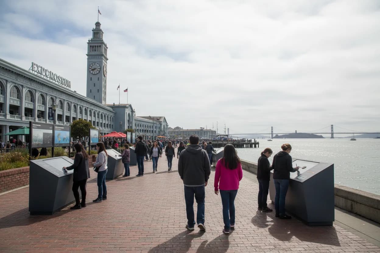
The Ferry Building gives the route a forgiving middle or end point because it has indoor browsing, food, restrooms, transit connections, and waterfront exits in one landmark. Its official visit page lists the address as One Ferry Building and notes access by BART, Muni, ferry, bicycle, and nearby parking. Marketplace hours and merchant hours can differ, so do not plan around one vendor unless you confirm that vendor directly.
If you want the more local version, match the walk to the Ferry Plaza Farmers Market. Foodwise lists the market year-round on Saturdays from 8 a.m. to 2 p.m. and Tuesdays and Thursdays from 10 a.m. to 2 p.m., rain or shine. Saturday has the biggest vendor range, but it is also the most crowded. For a reflective climate walk, a weekday market can feel calmer and easier to navigate.
Check NOAA San Francisco Tides Before Choosing Benches
For a waterfront walk, tides are not just nautical trivia. NOAA’s San Francisco station at 9414290 is the official reference to check before choosing low-lying sitting spots, planning photos, or deciding how long to linger near splash-prone edges. You do not need expert interpretation for this route; simply compare predicted high and low water times with your walk window and keep extra margin during windy weather.
The decision logic is simple: if tide, wind, or visibility looks unpleasant, shift the reflective part indoors at the Exploratorium or Ferry Building and keep the outdoor segment short. If conditions are mild, use the bay-facing benches and pier views as the part of the day where Greenland becomes a question about water, distance, and consequence. Avoid stepping onto unsafe edges or restricted pier areas for a better view.
Verify Exploratorium Hours, Transit Alerts, and Market Days That Morning
The final move is a same-day check, not a complicated itinerary. Open the Exploratorium visit page for hours, special closures, ticket categories, and Tactile Dome availability. Then check SFMTA for F Market service if you need the streetcar, and Foodwise if the farmers market is part of the plan. This prevents the common failure mode: building the day around an outdated schedule screenshot.
Choose the route that matches your group, not the trend. Solo visitors can do museum first, walk second, then leave by ferry or BART. Students may want notes from exhibits before the waterfront segment. Friends can start at the market, eat, then walk north to Pier 15. Before leaving, verify hours, transit alerts, weather, and NOAA tide timing, then let anything unconfirmed become a reason to keep the plan flexible.
Tags: #SanFrancisco #Exploratorium #FerryBuilding #Embarcadero #BayTrail #ClimateLearning #Greenland #HiddenGems #BackToSchool #WaterfrontWalk #FoggySF #MuseumDay #AskKarpo #BeforeYouGo
Sources consulted: Source 1: exploratorium.edu · Source 2: exploratorium.edu · Source 3: ferrybuildingmarketplace.com · Source 4: sfmta.com · Source 5: mtc.ca.gov · Source 6: tidesandcurrents.noaa.gov
All trademarks are the property of their respective owners.
Ask Karpo first
Tell Karpo your date, group size, budget, and starting point. We’ll check current access, timing, transit, and the cleanest San Francisco plan for Exploratorium, Ferry Building waterfront, and climate-learning stops before you head out.


