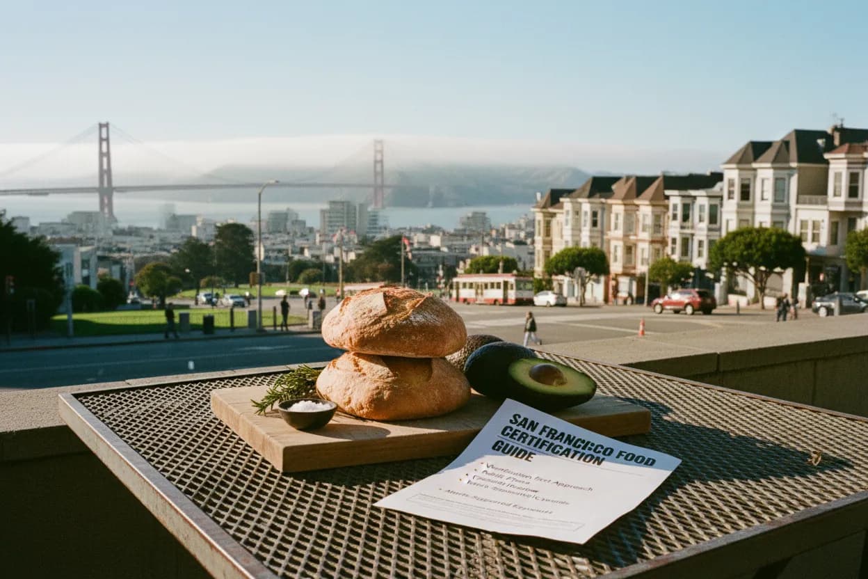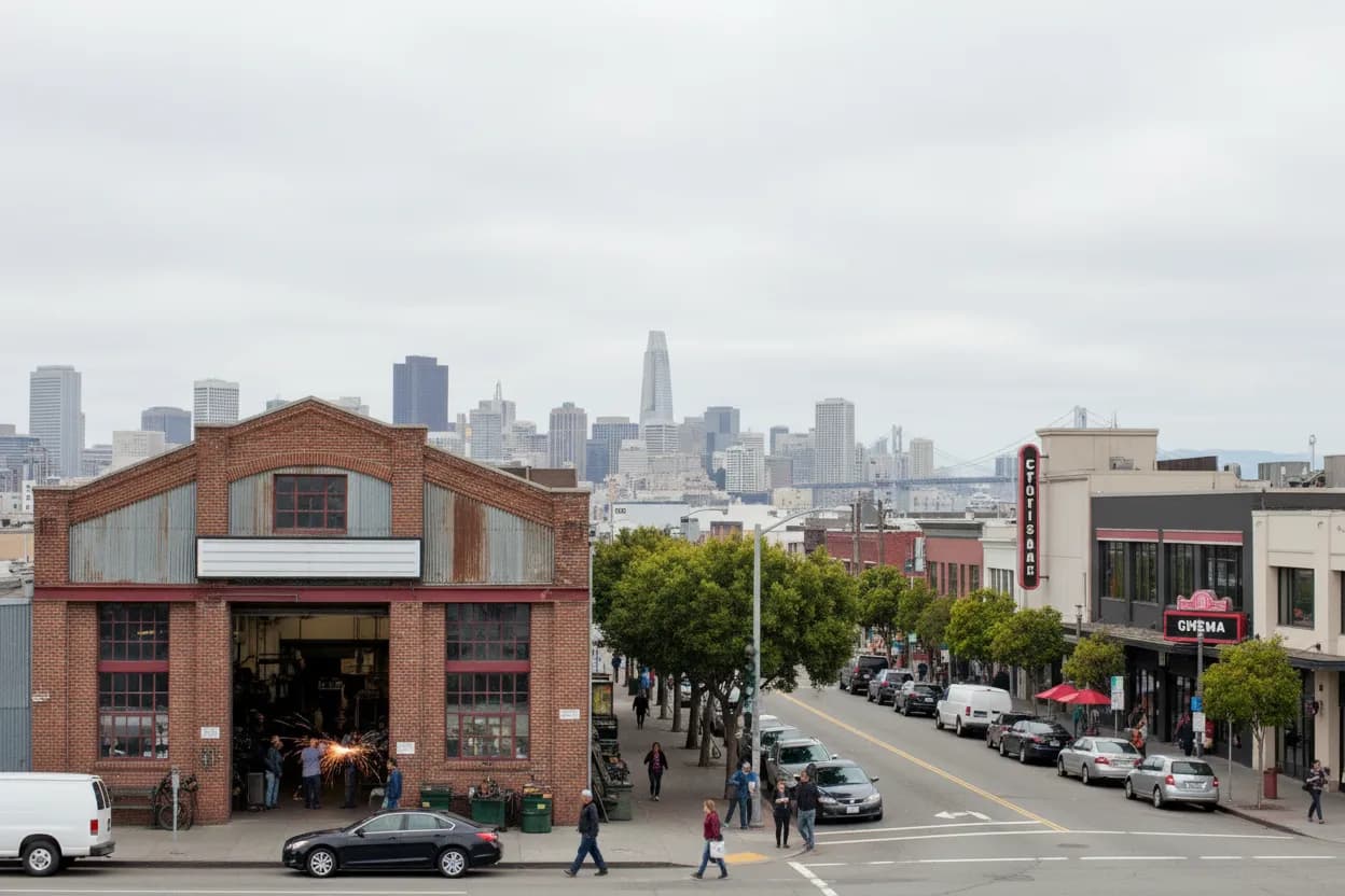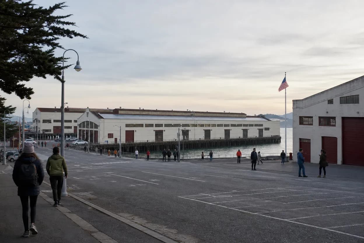
San Francisco’s northern waterfront is a practical place to turn the marines search spike into a hands-on drawing plan, as long as the outing stays grounded in what is actually open on Friday, August 7, 2026. The useful route runs between Fort Mason Center for Arts & Culture, Aquatic Park Cove, and the San Francisco Maritime National Historical Park edges near Fisherman’s Wharf. It works for solo sketchers, casual dates, and small workshop groups because the area offers architecture, shoreline movement, museum context, and transit choices in a compact walk. The local risk is simple: fog, wind, event traffic, and changing venue access can reshape the session fast.
Want a current Fort Mason-to-Aquatic Park sketch route before heading out? Text Karpo for SF-specific stops, transit checks, and indoor backup ideas tied to today’s waterfront conditions.

Fort Mason Center Calendar at 2 Marina Boulevard
Start with Fort Mason Center for Arts & Culture because its official pages place the campus at 2 Marina Boulevard, between Aquatic Park and Marina Green, and show the venue as an active arts hub rather than a single-purpose museum. Its events page lists current visual arts, classes, performances, tours, and resident programs, including San Francisco Aerial Arts Festival activity running August 7 to 9, so Friday may be visually rich but busier than a normal waterfront afternoon.
Do not treat the campus hours as a blanket promise. Fort Mason’s visit page says the main office is generally open Monday through Friday from 9:00 a.m. to 5:00 p.m., while individual organizations and programs vary. For a drawing outing, that means the calendar is only the first filter. Click into the specific gallery, workshop, store, or performance listing before assuming walk-in access, ticket availability, price, seating, or permission to sketch indoors.
Aquatic Park Cove as the Outdoor Sketch Anchor
Aquatic Park Cove is the most reliable outdoor anchor because the National Park Service describes San Francisco Maritime National Historical Park as a 50-acre park grown around the protected cove. For sketching, the scene gives layered reference without needing a reservation: the curve of the beach, the Maritime Museum facade, swimmers, breakwater lines, historic waterfront forms, and shifting Bay light. It suits short studies better than one ambitious seated piece.
Use the cove as the middle of the route, not a place to get stuck. A solo sketcher can work from a bench or wall; a date can pair drawing with a slow walk; a small group can split into 15-minute studies and regroup. The failure mode is wind, especially on paper and loose reference sheets. Bring clips, keep materials compact, and choose two sheltered stops instead of depending on one perfect view.
Maritime Museum Bathhouse for Wind-Proof Reference
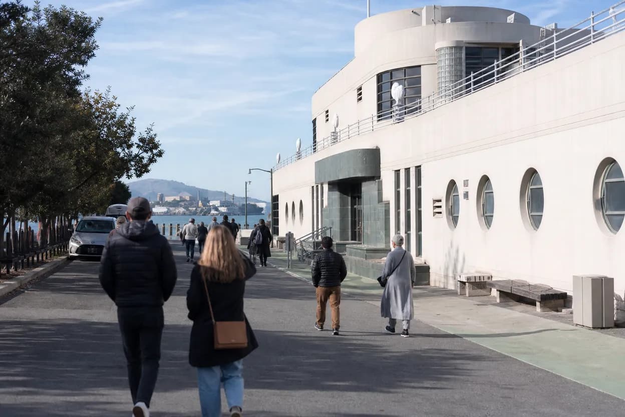
The Maritime Museum, in the historic Aquatic Park Bathhouse, is the cleanest backup when fog or afternoon wind makes outdoor drawing difficult. NPS highlights the building’s Streamline Moderne character, maritime exhibits, murals, and cove-facing views. That mix is useful for artists who want hard edges, interior compositions, and historical maritime objects rather than only open-water atmosphere. Verify same-day access before building the plan around any single gallery room.
Accessibility and pacing are better when the museum is treated as one segment, not the whole outing. Indoor spaces can narrow sightlines, and other visitors may make long stationary drawing awkward. If a room is crowded, switch to quick contour studies, architectural notes, or the exterior bathhouse form. If museum hours or access cannot be confirmed, keep the route outside around Aquatic Park and use NPS visitor resources for context instead.
Hyde Street Pier Closure and Ship-Study Workarounds
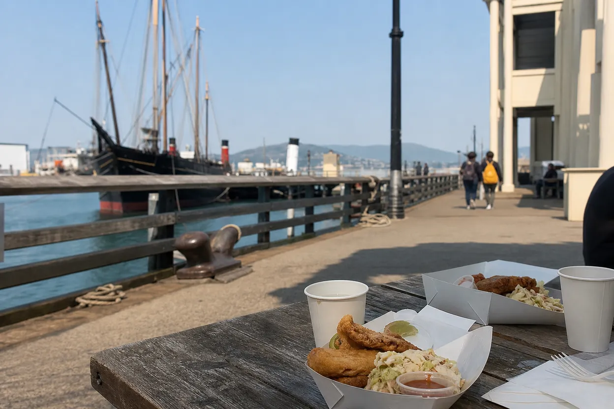
The key constraint is Hyde Street Pier. NPS says the park’s museum ships have been at Mare Island Naval Shipyard since 2025 while their longtime Hyde Street Pier home is rebuilt. That changes the creative promise of the day: this is not a board-the-ships drawing session. It is a waterfront, museum, architecture, and public-viewpoint route with maritime references available from legal, open areas.
Workarounds are still strong if expectations are clear. Use Aquatic Park views, the Visitor Center area, Maritime Museum exhibits, Fort Mason waterfront edges, and historic building details for marine forms, rigging silhouettes, hull language, signage, and working-waterfront atmosphere. Do not cross barriers, lean into construction zones, or chase a restricted angle. If direct ship access is essential to your project, verify NPS Hyde Street Pier updates before leaving and postpone if needed.
Muni Trip Planner and the Buchanan Street Approach
Transit should be checked late in the day, not guessed from memory. SFMTA’s official homepage provides a trip planner, route and stop tools, visitor guidance, and travel-update links; on August 7 it also showed citywide event and construction notices, including Outside Lands weekend context. For Fort Mason, enter 2 Marina Boulevard, Buchanan Street, or Aquatic Park as the destination, then compare Muni, walking, and transfer time from your actual starting point.
Driving is the least predictable choice for a Friday afternoon into early evening because Fort Mason events, Fisherman’s Wharf traffic, and waterfront visitors can overlap. If driving is necessary, verify parking from Fort Mason’s own directions and parking information before committing. Transit plus walking gives more creative flexibility: you can begin at Aquatic Park, reverse toward Fort Mason, cut the session short, or leave when wind and crowds make drawing less practical.
Ghirardelli Square and Fisherman’s Wharf Backup Loop
If Fort Mason feels crowded or the cove is too exposed, the practical backup is to move east instead of abandoning the neighborhood. The Ghirardelli Square and Fisherman’s Wharf edge offers sheltered pauses, storefront reflections, cable car movement, visitor flow, and quick food or restroom options nearby. It keeps the maritime waterfront story intact while giving non-drawing companions something to do during shorter sketch intervals.
The tradeoff is control. Fisherman’s Wharf can offer more people-watching and object variety, but it is louder and harder for a small group to hold one position without blocking circulation. Use this loop for thumbnails, color notes, gesture studies, and photo-reference planning where allowed. For finished work, return to Aquatic Park or Fort Mason when conditions calm, because the broader sightlines make the maritime forms easier to read.
Friday Source Check on Fort Mason, NPS, and SFMTA
Before leaving on Friday, August 7, make one final pass through three official checks: Fort Mason’s event calendar, Fort Mason’s visit page, and the NPS San Francisco Maritime National Historical Park plan-your-visit resources. Confirm whether the event you want is still listed, whether the relevant organization has separate hours, and whether any fresh notice affects Hyde Street Pier, museum access, waterfront areas, or visitor services.
Make the decision guide simple: choose one indoor target, one outdoor target, and one exit route. Pack a small kit, start with a 20-minute first stop, and adjust before anyone gets cold or frustrated. If a price, reservation, tour time, accessibility detail, room opening, or transit condition cannot be confirmed from an official source, treat it as unconfirmed and use the public waterfront route instead. Recheck live pages immediately before departure.
Tags: #SanFrancisco #FortMason #AquaticPark #MaritimeWaterfront #CreativeWorkshops #Sketching #UrbanDrawing #SFArts #NationalParkService #Muni #FridayPlans #AskKarpo #BeforeYouGo #KarpoSF
Sources consulted: Source 1: fortmason.org · Source 2: fortmason.org · Source 3: nps.gov · Source 4: sfmta.com
All trademarks are the property of their respective owners.
Ask Karpo first
Tell Karpo your date, group size, budget, and starting point. We’ll check current access, timing, transit, and the cleanest San Francisco plan for Fort Mason Center for Arts & Culture and San Francisco Maritime National Historical Park waterfront cluster before you head out.