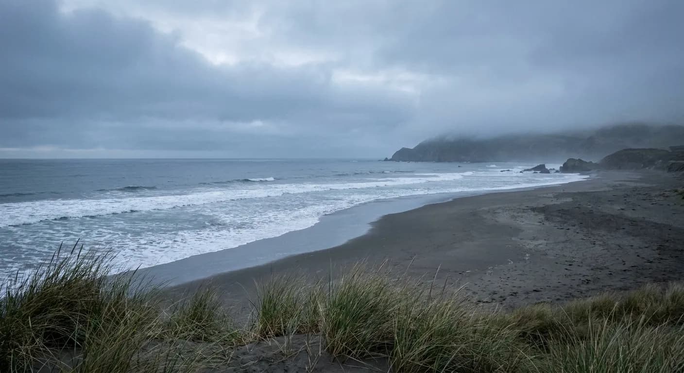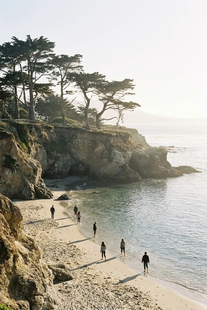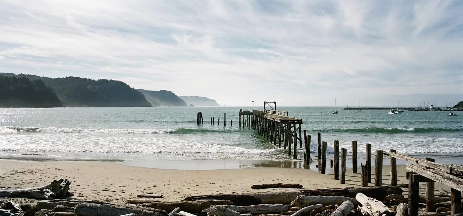
The search for a beach near me from San Francisco has an unusual answer: the beaches inside the city are excellent for walking and mostly terrible for swimming, and the day trip exists to solve that. Ocean Beach has a fearsome rip and cold, heavy surf. Baker Beach has the view and the same water. What a day trip buys you is not warmer water — the Pacific here is cold everywhere — but shelter from wind, a break in the fog, and somewhere you can actually sit for six hours.
The whole game is picking the direction the fog is not. Tell Karpo which day you have free and how far you are willing to drive, and it will read the coastal forecast for you and say north, south, or stay in the bay.
Read the fog before you pick the direction
San Francisco's summer fog is a local phenomenon with sharp edges, and the single most useful skill for a coastal day trip is knowing that it does not sit everywhere at once. Typically the city and the immediate coast are grey while somewhere thirty miles away is clear and fifteen degrees warmer. Check the coastal forecast for the specific stretch you are considering rather than for San Francisco, and be willing to change direction in the car park.
The rough seasonal shape: summer is the foggiest and windiest season on this coast, and September and October are the clearest and warmest. That inversion catches visitors constantly, because it is the opposite of how beaches work almost everywhere else in the country.
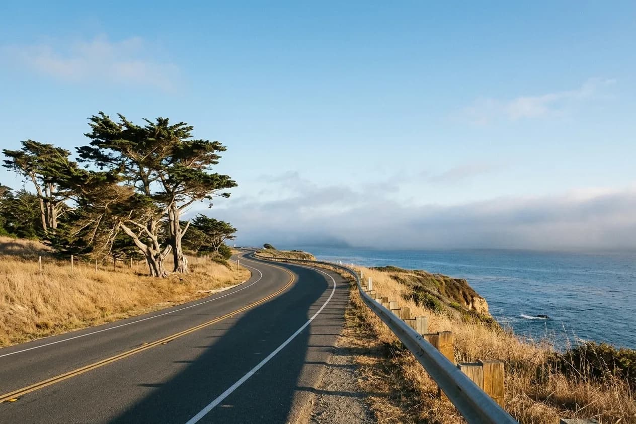
South: the reliable direction
Heading south on Highway 1 through Pacifica, Montara, Half Moon Bay and down toward Pescadero gives you the most consistent day trip: about forty-five minutes to an hour to the first good stretches, real state beaches with actual parking lots and restrooms, and a string of small towns for lunch on the way back. The coast here is wind-exposed but the coves at Montara and the beaches around Half Moon Bay have enough structure to find shelter.
Two practical notes for the southern run. Devil's Slide is now a tunnel and a trail — the old cliff road is a paved walking path with the best free views on that stretch. And the elephant seal colony at Año Nuevo, further south, is a genuinely world-class wildlife sight in winter, though the breeding-season visits are docent-guided and require booking well ahead.
North: the more dramatic and more conditional direction
Crossing the Golden Gate takes you to Marin's beaches — Rodeo, Muir, Stinson — and then, an hour and a half out, to the Point Reyes National Seashore, which is the best coastline within reach of the city and the most weather-dependent. Stinson is the most swimmable beach in the region on the rare warm still days. Point Reyes rewards the long drive with enormous empty beaches, a lighthouse, tule elk, and oysters at Tomales Bay.
The northern direction demands more planning. Muir Woods requires a parking or shuttle reservation and the road to it is slow and narrow. The Point Reyes lighthouse involves a long stair and closes in high wind. Highway 1 through Marin is winding enough that passengers prone to car sickness should sit in front. And the fog that clears in the city at noon can sit on the Marin headlands all day.
The bay option nobody thinks of
If the coastal forecast is bad in both directions, the correct move is to abandon the ocean entirely and go to a bay beach. The water inside the Golden Gate is calmer, the wind is lighter, and the temperature is noticeably higher — the East Bay shoreline and the beaches on the north bay are often twenty degrees warmer than Ocean Beach on the same afternoon. It is not the dramatic coastline, but it is a beach day rather than an endurance test.
The same logic applies to timing within a day. On a fogged-in morning, leaving at one in the afternoon instead of nine frequently turns a wasted trip into a good one, because the layer burns back through the middle of the day and the coast is at its best from four until sunset.
What to pack for a cold coast
Bring more layers than the temperature suggests. The wind on this coastline is the variable that decides comfort, and a windproof shell matters more than a jumper. Bring water and food, since the good beaches are often a long way from a shop. Bring cash or a card for the state park lots, which are cheap but not free.
And take the water seriously. Much of the Northern California coast is unguarded, with cold water, strong rips and, on a few beaches, genuine sneaker-wave risk where people get pulled off rocks. Watching the sets for a few minutes before you go near the waterline is the entire safety briefing, and it is worth doing every time.
Tags: #SanFrancisco #BayArea #BeachDayTrip #BeachNearMe #HighwayOne #HalfMoonBay #PointReyes #Stinson #Pacifica #SFWeekend #NorCalCoast #FogSeason #WeekendPlans #SFOutdoors
Sources consulted: parks.ca.gov · nps.gov · weather.gov
All trademarks are the property of their respective owners.
Ask Karpo first
Coastal fog, wind and parking availability decide this day entirely, and all three differ by the mile along this shoreline. Ask Karpo which direction is clear for the afternoon you have, whether the park you are aiming at needs a reservation, and what the drive actually looks like — it answers in iMessage before you commit to a direction.