Trace South Shore Edges: Three Last-Stop Views
Start where Great Kills Harbor narrows into a marina edge. Stand above the erased line of Boardwalk Avenue, then finish on a pier facing New York Bay.
Three Edges, One Finish
Marina Threshold
Begin at Gateway Park, where Great Kills Harbor narrows beside beach grass and sailboats. Follow the trail toward the dock and watch the city thin into water, reeds, and open sky. Pause at the viewing edge before moving south. The harbor gives this route its first terminal feeling, a managed path ending at a working shoreline.
Lost Cartography
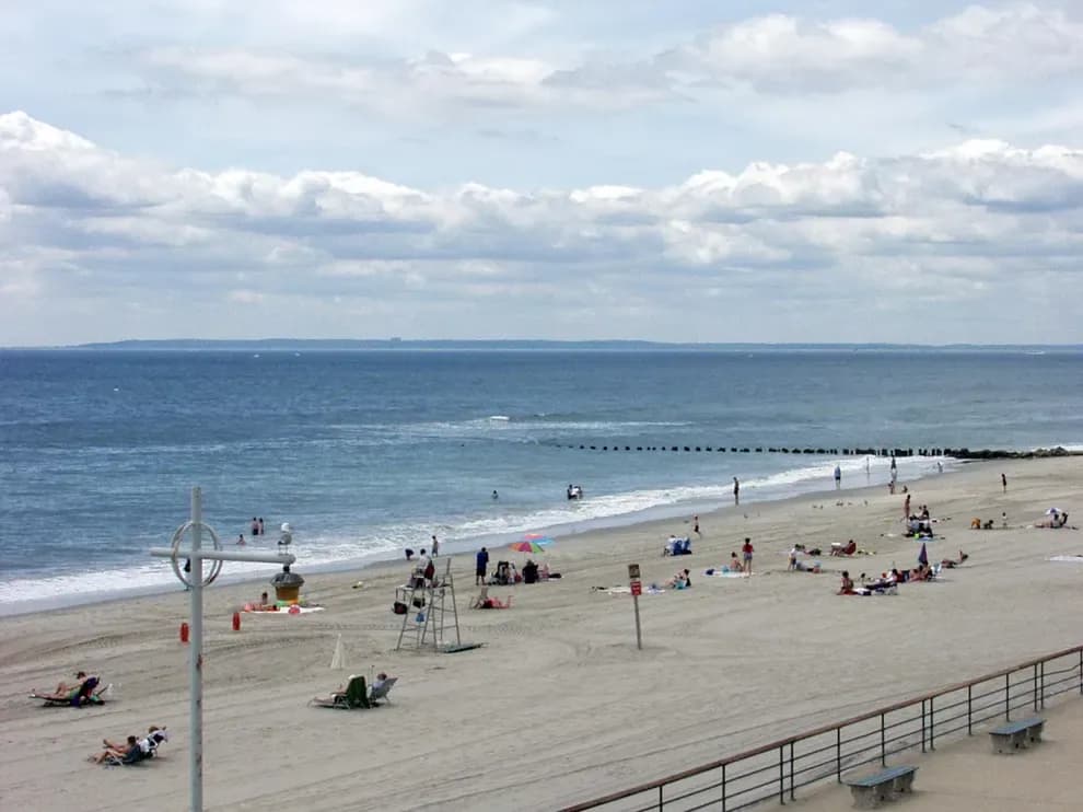
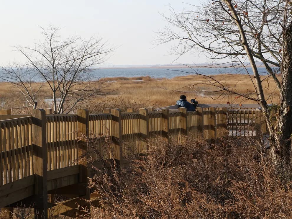
At Bayview Terrace Park, Boardwalk Avenue survives on maps after the seaside road washed away. The dry-land garden sits above a 17-foot drop, while most of the park extends underwater. Use the overlook to read what the shoreline erased. This stop turns an ordinary boundary into evidence: street, garden, beach, and open water stacked in one view.

Pier at Blue Hour
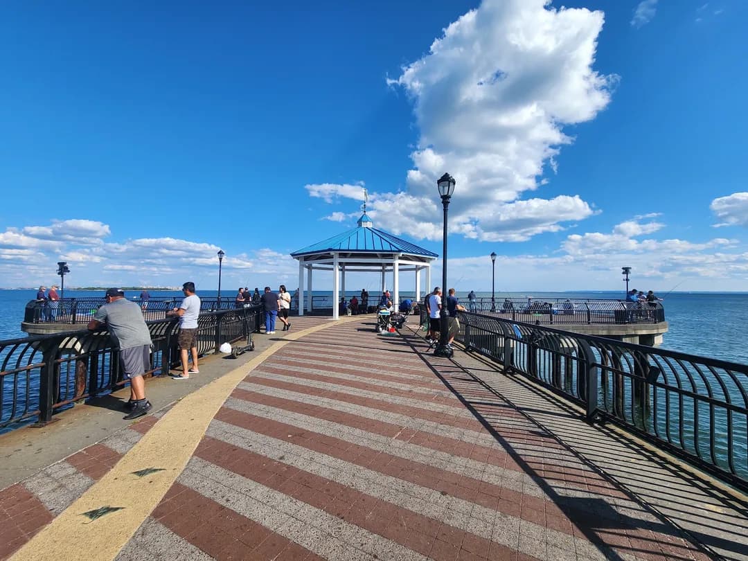
Finish at Ocean Breeze Fishing Pier, reached along the FDR Boardwalk. Benches face New York Bay, the Verrazzano-Narrows Bridge, and Brooklyn beyond the water. Anglers make the endpoint feel lived-in rather than ceremonial. Arrive before sunset and stay for the first lights. The pier turns distance into the final scene, with the route ending where pavement gives way to railings and tide.