
Bay Model Visitor Center
4.6 (197)museum
 4.6 (197)
A 1.5-acre physical scale model of the Bay Area, designed to simulate the realistic rise, fall, and flow of tides.
Description
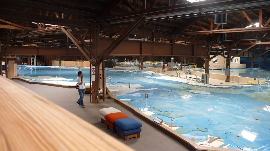


Created by the U.S. Army Corps of Engineers, the site stands as an analog throwback to the era before computer modeling. Its meticulous design illustrates water movement by showing how areas flood and drain alongside current indicators. Beyond the hydraulic scale setup, the center features interactive exhibits and historical information detailing Liberty Ship construction, with tours open to visitors.
Good to know
Exhibits may be down