
A radar image over New York City can look decisive: a red blob west of Newark, a green shield over Queens, a thin line crossing Staten Island. The harder question is what it means for the next 20, 45, or 90 minutes. On July 22, 2026, the safest way to use weather radar in NYC is not to guess from color alone, and not to rely on one app’s push alert. Start with the National Weather Service radar and local New York forecast office, then layer in official warnings, Notify NYC messages, and transit status before deciding whether to leave, wait, shelter, or cancel.
Text Karpo before you head out, and ask for a quick read on official NYC storm alerts, radar timing, and transit status. Ask Karpo to compare your route with current warnings before you decide to leave or wait.
Start With the Official Radar, Not the Prettiest Map
The National Weather Service’s public radar viewer at radar.weather.gov is the official starting point for a storm check. For NYC, the relevant NWS forecast office is New York, NY, also known by the office identifier OKX, serving the city and surrounding region. A commercial app may be faster to open or easier to read, but the NWS radar and warning products are the backbone that many other services interpret, repackage, or supplement.
When a storm is near the five boroughs, open the radar loop rather than looking at a single frame. The loop shows whether a cell is building, weakening, splitting, or accelerating. In NYC, that difference matters: a storm over northeast New Jersey may miss Lower Manhattan but clip the Bronx, or a line near Staten Island may reach Brooklyn before an app’s hour-by-hour forecast updates.
Read Motion Before Color
Radar color is only the first clue. Reflectivity shows returned radar energy, which usually helps identify where precipitation is falling and where it may be heaviest. Greens and yellows often mean lighter to moderate rain, while oranges and reds can signal heavier rain or hail, but the scale, radar angle, and storm type all matter. A bright pixel is not a promise of severe weather at your exact corner.
For timing, watch the leading edge of the rain and compare it to fixed landmarks: Newark Airport, the Verrazzano-Narrows Bridge, Central Park, LaGuardia, Jamaica Bay, or the western edge of the Bronx. If the leading edge travels from Newark to the Hudson in roughly 20 minutes, do not assume you have an hour in Manhattan. If the loop shows cells repeatedly forming over the same area, flooding risk can rise even when the storm is not moving fast.
Know the Difference Between a Watch, Warning, and Advisory
NWS alert language is meant to separate possibility from immediate hazard. A watch means ingredients are in place for hazardous weather, but the exact location or timing is still uncertain. A warning means the hazard is occurring, imminent, or highly likely in the warned area. An advisory generally points to conditions that may cause significant inconvenience or risk if people do not use caution, even if the event is below warning level.
For summer storms, pay special attention to Severe Thunderstorm Warnings, Flash Flood Warnings, Tornado Warnings, Flood Watches, and Special Weather Statements. The NWS severe thunderstorm threshold includes winds of at least 58 mph or hail at least 1 inch in diameter. A Flash Flood Warning is more urgent for NYC travel than many people realize because underpasses, basement spaces, subway entrances, and low-lying roadways can change quickly during intense rain.
Use Warning Polygons, Not Borough-Wide Assumptions
Modern NWS warnings are commonly drawn as polygons, meaning the danger area can cut across borough, county, and neighborhood lines. A phone alert may say New York County, Queens County, or Bronx County, but the most useful question is whether your location is inside the warning shape and in the storm’s path. A storm crossing northern Queens may be irrelevant to Tottenville and urgent for Flushing, even though both are within NYC’s broader media market.
This is where zooming helps. On the official radar or a trusted weather map, compare the warning outline with your actual route: the BQE, FDR Drive, Van Wyck, Cross Bronx, Belt Parkway, Metro-North approaches, ferry terminals, or an outdoor venue. If your destination is outside the polygon but your route crosses it, treat the route as part of the risk calculation.
What Phone Alerts Can and Cannot Do
Wireless Emergency Alerts can send urgent warnings to compatible mobile phones in a targeted area, and Notify NYC can send city emergency information by text, email, phone, and other channels to subscribers. These are important layers, especially when you are away from a computer or not actively checking radar. But an alert arriving late, not arriving, or sounding after you have already noticed thunder should not be treated as proof that conditions are safe.
There are several practical limits. Your phone’s settings, carrier behavior, location targeting, battery mode, building reception, and whether an alert category is enabled can all affect what you see. Weather apps also make choices about notifications, nowcasting, and rain-start times. Use alerts as a backstop, not as the only signal. If the sky is darkening, thunder is audible, and radar shows a line approaching, act before your phone tells you to.
NYC Commutes Need a Different Radar Checklist
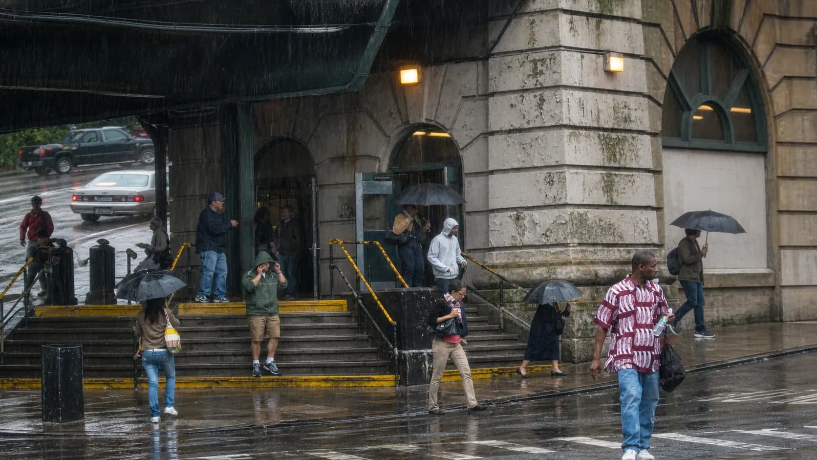
For subway, bus, commuter rail, ferry, bike, and walking trips, storm timing is about exposure. If heavy rain reaches Midtown at 5:15 p.m., leaving at 5:05 may put you at a station entrance or crosswalk during the worst part. A 25-minute delay in a lobby, library, store, office, or station mezzanine can be safer than trying to beat a line of thunderstorms by a few blocks.
Before leaving, check three things in order: the NWS radar loop and warnings, Notify NYC if active, and MTA service status for your specific subway line, bus route, commuter rail branch, or bridge-and-tunnel plan. Above-ground subway sections, street-level bus operations, and low-lying roads are more exposed to wind, lightning, ponding, and signal issues. If you are transferring outdoors, build that walk into the decision.
Outdoor Plans: Parks, Rooftops, Beaches, and Fields
A radar gap can be tempting when you have a ballfield permit, rooftop reservation, beach afternoon, school pickup, or concert plan. The safest question is not only whether it is raining now, but whether thunderstorm hazards are close enough to make the site unsafe. Lightning can occur outside the heaviest rain core, and gusty outflow winds can arrive ahead of the main line.
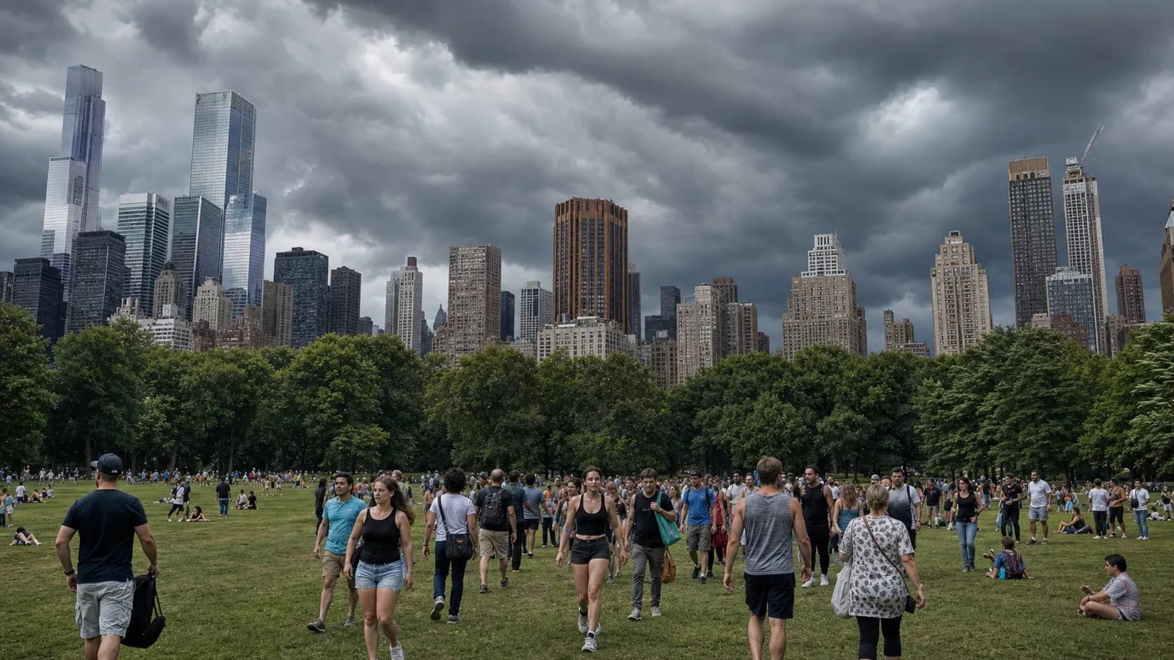
For parks and waterfronts, decide early where you would go if conditions change: a sturdy building, transit station, vehicle, or other enclosed shelter. Tents, trees, scaffolding, dugouts, beach umbrellas, and open-sided structures are not reliable storm shelters. In dense areas such as Central Park, Prospect Park, Flushing Meadows Corona Park, Orchard Beach, Coney Island, and Hudson River Park, crowd movement can take longer than the radar loop suggests.
Flooding Is the NYC Hazard Radar Users Often Underestimate
The most dramatic radar colors are not always the biggest city problem. In NYC, repeated heavy rain over the same drainage area can flood streets, basements, underpasses, parking areas, and below-grade spaces. NYC Emergency Management specifically urges residents in basement or ground-floor apartments to plan where they will go if conditions worsen. That decision should happen before water is at the door, not after.
NYC’s Rainfall Ready guidance emphasizes shared preparation for intense stormwater flooding, including keeping catch basins clear where safe, checking flood-risk information, and signing up for official alerts. If the NWS radar loop shows training storms—cells moving over the same place again and again—treat that as a warning sign even if the broader forecast only called for scattered thunderstorms earlier in the day.
Practical notes
Practical notes: Save radar.weather.gov, weather.gov/okx, Notify NYC, and the MTA service-status page before storm season, not during a downpour. If you are planning an outdoor event, check radar again within 90 minutes of arrival and once more before people disperse. Do not drive, bike, or walk through floodwater; depth and current are difficult to judge on city streets. If you live in a basement or below-grade apartment, identify a higher-floor or nearby public refuge in advance. For commutes, a short indoor wait can be the best decision when a warning polygon or heavy radar core is about to cross your route. When thunder is audible, move indoors and wait for conditions to clearly pass.
Tags: #NYCWeather #WeatherRadar #NYCStorms #NationalWeatherService #NotifyNYC #NYCCommute #MTA #SevereWeather #FlashFloodSafety #NYCParks #Brooklyn #Queens #Manhattan #Bronx #StatenIsland
Sources consulted: National Weather Service official radar viewer · National Weather Service New York, NY forecast office · NWS radar FAQ for radar.weather.gov · NWS radar education: what radar can show · NWS severe thunderstorm safety guidance · NYC Notify NYC official emergency alerts · NYC Emergency Management flooding guidance · NYC DEP Rainfall Ready NYC · MTA app status tab help center
All trademarks are the property of their respective owners.
Ask Karpo first
Ask Karpo: “Is this storm likely to hit my commute from Dumbo to Jackson Heights in the next hour?” Include your start point, destination, travel mode, and deadline. Karpo can help you check official radar, warnings, Notify NYC updates, and MTA status together so the answer is practical, not just meteorological.