Waterfalls in Marin are real, they are close, and they are seasonal in a way that catches out almost everyone who goes looking for them. These are rain-fed creeks on a Mediterranean-climate coastline, not glacier-fed rivers, which means the difference between a spectacular hike and a walk to a damp rock face is entirely a question of when you went. The trails are open year-round. The water is not.
Marin's falls are rain-fed and the parking at the good trailheads is gone by mid-morning. Ask Karpo whether the creeks are running and when to leave.
Cataract Falls, and Why It Is the Default
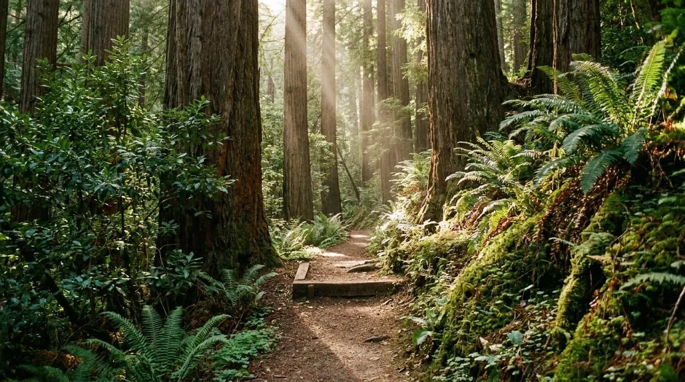
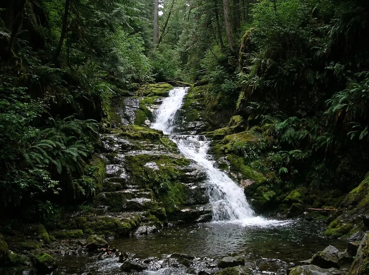
Cataract Falls is the most popular waterfall trail in Marin County and it earns that on structure rather than on a single drop. The trail climbs steeply through a narrow ravine glade of redwood and bay, passing a series of nine cascading waterfalls on Cataract Creek. Nine, in sequence, on one climb, which is a fundamentally different experience from walking to one named fall and turning around.
There are two ways to do it. The short version is about two miles to the top of the trail, which is the right choice if the goal is the falls themselves. The long version is a seven-mile loop that adds ridge sections with views stretching to the Pacific, which turns a morning into a full day and gives you the coastal panorama that the ravine itself does not.
The trailhead is off Bolinas-Fairfax Road, just past Alpine Lake. Parking is free and it typically fills early in the day because the trail is popular, which is the single most important logistical fact here. A free trailhead lot on a well-known trail is a lot you need to arrive at early, not one you can casually drive to at eleven on a Saturday.
Alamere Falls, and the Distance Nobody Mentions
Alamere Falls is the one people have seen photographs of: a fall dropping freely about forty feet from a bluff directly onto a beach in Point Reyes National Seashore. A waterfall that lands on sand and runs into the Pacific is genuinely rare on this coast, and it is the reason this hike has the reputation it has.
The distance is the part that gets left out of the photographs. The most efficient and least crowded route starts at the Bear Valley Visitor Center at Point Reyes Station, heads coastward on the Bear Valley Trail, joins the Coast Trail and runs south to Wildcat Camp, which is roughly six and a half miles, and then covers another mile south along the beach to reach the falls.
That is around seven and a half miles each way, so fifteen miles round trip, along the coast, with a beach section that depends on the tide. This is not a casual afternoon. Treating it as one is the reason this hike generates more rescue stories than any other in the area, and anyone planning it should be planning a full day with real preparation rather than a detour.
What Season Actually Means
The rule for this entire category is that Marin's falls run on rainfall. The wet season fills them, the dry season empties them, and by late summer many of these creeks are a trickle or nothing at all. A photograph taken in March tells you nothing about what you will find in September, and the photographs circulating online are almost universally taken at peak flow.
The practical approach is to go after sustained rain rather than after a single storm, because a creek system needs the ground to be saturated before it runs properly. A few days after a solid multi-day rain, in the winter or early spring, is when these trails deliver what the photographs promise. The same trails in the dry months are still good walks through redwood and coastal scrub, and it is worth going with that expectation rather than the other one.
Marin, Sonoma and Mendocino together hold a substantial number of waterfalls, so Cataract and Alamere are the two headline options rather than the only ones. If both trailheads are full, the wider region has alternatives, and the ones further north are consistently less crowded for the same reason they are less photographed.
Planning It From the City
Both of these are north across the Golden Gate Bridge, which means the trip is defined by traffic as much as by trail conditions. Leaving San Francisco early solves the bridge, the trailhead parking and the fog in one decision, and it is the only piece of advice here that applies universally.
Bring more water than the distance suggests, because both routes climb and the coastal sections are exposed. Check tide tables specifically for the Point Reyes route, since the final beach mile is not passable at all states of tide. And accept that this is a category where the honest answer changes month by month: the same trail is a highlight of the Bay Area in February and a pleasant dry walk in September, and knowing which one you are getting is most of the value.
Practical notes
Cataract Falls Trail - trailhead off Bolinas-Fairfax Road just past Alpine Lake; free parking that fills early; a steep climb through a redwood and bay ravine past nine cascading waterfalls on Cataract Creek; roughly two miles to the top of the trail or a seven-mile loop with ocean views. Alamere Falls, Point Reyes National Seashore - a roughly forty-foot fall onto the beach; the most efficient route starts at the Bear Valley Visitor Center, runs the Bear Valley Trail to the Coast Trail and south to Wildcat Camp at about six and a half miles, then a further mile south along the beach; check tide tables. Flow is rain-dependent and drops sharply in the dry season. Marin, Sonoma and Mendocino hold further waterfall trails. Confirm conditions before travelling.
Tags: #waterfallsnearme #marincounty #sanfrancisco #cataractfalls #alamerefalls #pointreyes #hiking #bayareahikes #outdoors #daytrip #freethingstodo #mounttamalpais #sfguide #trails
All trademarks are the property of their respective owners.
Ask Karpo first
Marin's waterfalls only run after sustained rain and the good trailhead lots fill before mid-morning. Ask Karpo whether the creeks are flowing this week, what time to leave the city to get a parking space, and whether the tide allows the Point Reyes beach section today.