San Francisco itself is dry for most of the year, but the hills around it are not. Within a two-hour drive there is a waterfall that lands on a beach, a mile-long staircase of cascades in a Marin redwood canyon, and a whole park in the Santa Cruz foothills with a dozen falls on one loop. What almost nobody tells you up front is that every one of these is rain-fed and seasonal — and that two of the most famous come with rules you need to sort out before you leave the house.
Flow, road closures and reservation rules for these trails change week to week through the winter. Ask Karpo which falls are actually running right now, what you need to book before you drive, and how long the trail really takes.
Cataract Falls: the staircase in the Marin hills
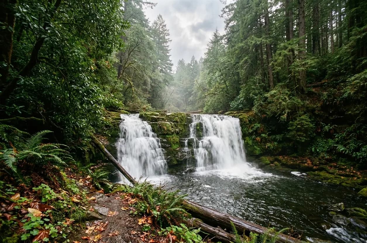
On the flank of Mount Tamalpais above Alpine Lake, Cataract Creek drops through a long series of cascades in a mossy, fern-heavy canyon of Douglas fir and bay laurel. The trail is a set of uneven stone and log steps that climb steeply alongside the creek, and it is the single best waterfall walk within an hour of the city. You do not need to do the whole thing — the first half-mile from the lower trailhead already puts you next to several drops.
Two practical facts. The parking is a handful of roadside spaces on Fairfax-Bolinas Road, which fill early on any winter weekend, and the road itself is narrow, winding and occasionally closed after storms. And the steps are genuinely slick when wet, which is precisely when the falls are worth seeing, so this is not a trainers-and-phone-in-hand walk.
Alamere Falls: the one that lands on the beach
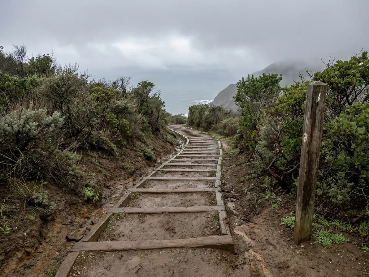
Alamere, in Point Reyes National Seashore, is one of very few waterfalls in California that drops directly onto a beach and into the ocean. It is also the most misunderstood hike in the Bay Area. The official route is a long out-and-back from the Palomarin trailhead — roughly thirteen miles round trip — and the short cut people find online involves an unmaintained bluff scramble that the Park Service actively discourages because of erosion and injuries.
If you go, go with the distance in mind: start early, take water for a full day, and check the tide, because the base of the falls is not reachable at high water. The Palomarin lot is small and fills by mid-morning at weekends. And check the current park conditions before driving out; sections of this coast have been closed for storm damage and landslides in recent years.
The redwood canyon option: Uvas Canyon
An hour and a half south, in the hills west of Morgan Hill, Uvas Canyon County Park has the densest concentration of waterfalls in the Bay Area — a short waterfall loop passes half a dozen named drops in about a mile, with more further up the canyon. It is the best choice with children or anyone who wants the payoff without a serious climb. The catch is access: the park requires a parking reservation in the wet season and it sells out well in advance for weekends, so this is a plan-ahead trip rather than a spontaneous one.
Closer in: Muir Woods, Purisima Creek and the East Bay
Muir Woods has a small seasonal cascade and, more importantly, a mandatory parking or shuttle reservation that catches out a lot of visitors — turning up without one means being turned away at the gate. Purisima Creek Redwoods, above Half Moon Bay, has gentler seasonal falls with far fewer people and no reservation. In the East Bay, the Little Yosemite section of Sunol Regional Wilderness runs as a genuine cascade after rain, and Wildcat Canyon and Tilden hold smaller seasonal drops within forty minutes of the city.
When to go, in one paragraph
The Bay Area's rain falls almost entirely between November and April, and the falls follow it with a lag of a day or two. The best window is two to four days after a significant storm: enough water to run hard, enough time for the trails to drain and the roads to reopen. By June most of these are a trickle; by September several are dry rock. A guide that recommends a waterfall hike for August is describing a walk in the woods, which is fine, but it is not what you came for.
Practical notes
Check road status before leaving — Fairfax-Bolinas Road, Highway 1 north of Stinson and the access roads into Point Reyes all close for slides in winter. Reserve where reservations exist: Muir Woods and Uvas Canyon both require them, and they are enforced. Wear boots with grip and take poles for Cataract. Cell service is poor to nonexistent in all of these canyons, so download the map first. Start early for parking rather than for light. And stay off the informal cliff routes at Alamere; the rescue statistics on that bluff are the reason the official trail is as long as it is.
What to bring for a wet-season hike
These trails are at their best in the four coldest, wettest months of the year, which changes the kit. Boots with real tread rather than trail runners, a waterproof shell rather than a fleece, a spare pair of socks in the bag, and a headtorch because the light goes early in January. Poles help enormously on the wet stone steps at Cataract.
Take a paper or downloaded map. Cell coverage in these canyons is poor to nonexistent, and several of the trailheads are on roads where a wrong turn adds twenty minutes of single-track driving.
Tags: #SanFrancisco #BayArea #Waterfalls #CataractFalls #PointReyes #MountTamalpais #UvasCanyon #MuirWoods #HikingNearMe #WinterHikes #SFOutdoors #WeekendTrips #NorCal #FreeThingsToDo
Sources consulted: nps.gov · parks.ca.gov · marinwater.org
All trademarks are the property of their respective owners.
Ask Karpo first
Flow, road closures and reservation requirements on these trails change with every storm, and a dry canyon is a long drive for nothing. Ask Karpo which falls are running this week, what you need to book before you go, and how much daylight the hike actually needs.