Waterfalls near San Francisco are a winter and spring proposition, and the mistake most people make is treating one as a destination. Driving ninety minutes each way to look at a single cascade for ten minutes is a poor trade. Built as a loop — two or three water stops, a ridge view, a proper lunch and a stretch of coast on the way home — the same drive becomes one of the best days the region offers, and it costs almost nothing.
The difference between a good waterfall day and a long drive is sequencing. Tell Karpo what time you can leave and which direction you fancy, and it will order the stops so the light, the tide and lunch all land where they should.
Before you go: three checks
Check recent rainfall for the specific watershed rather than the city, since the region's storms are patchy and a fall that was thundering last week can be a trickle today. Check road status, because winter closures on the mountain and coastal roads are common and can persist well after the weather clears. And check sunset, which in December is before five and turns the last leg of a coastal drive into a slow, dark, unpleasant hour.
Leave early. The trailhead lots for the good falls are small, they fill by mid-morning on the first clear Saturday after a storm, and there is rarely a legal overflow option. An 8 a.m. departure is the single highest-value decision in this entire plan.
The Marin loop, north across the bridge
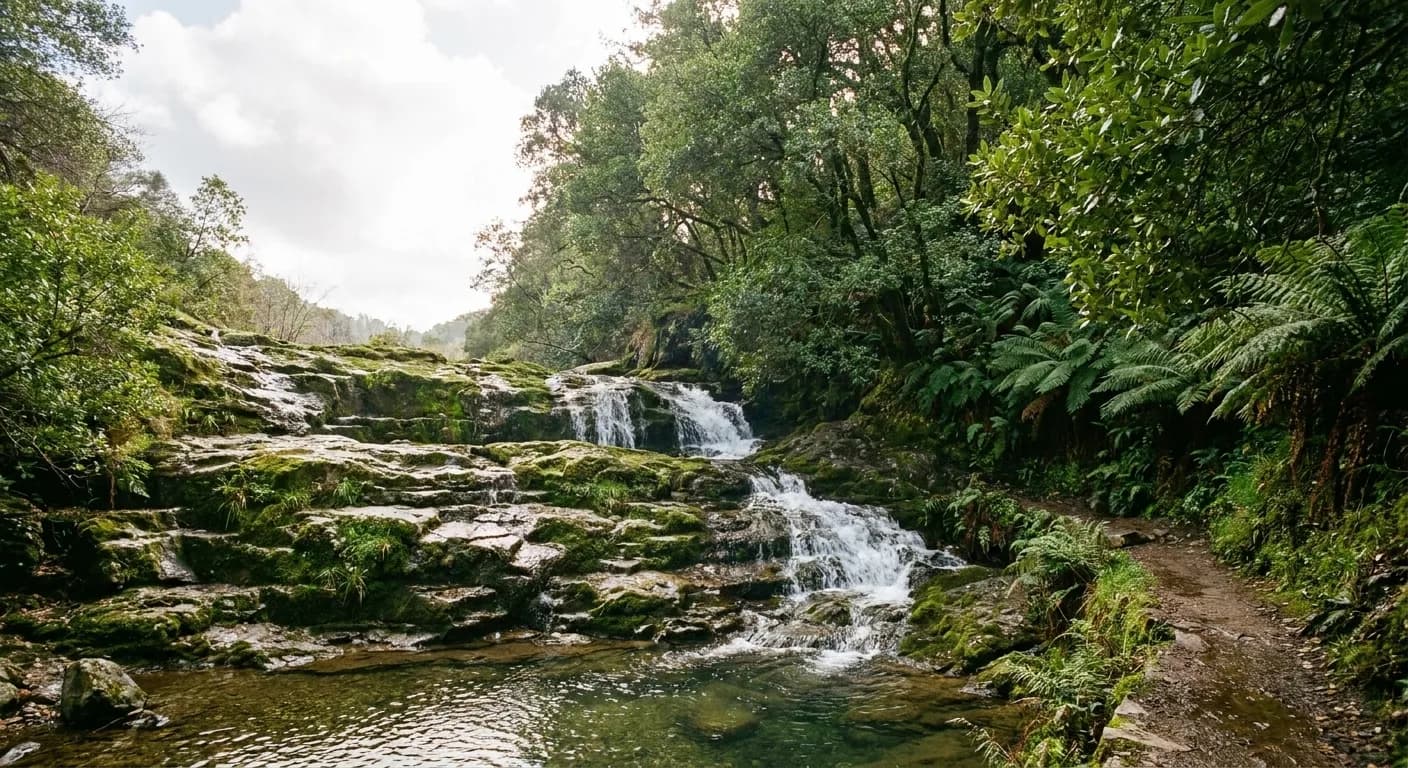
The most rewarding version runs north. Cross the Golden Gate early, climb into the Mount Tamalpais watershed, and start with the stepped cascades on the north side — the classic run of falls through mossy forest that peaks in late winter. It is a steady climb rather than a walk, so budget two to three hours including stops.
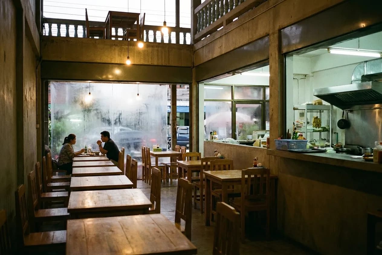
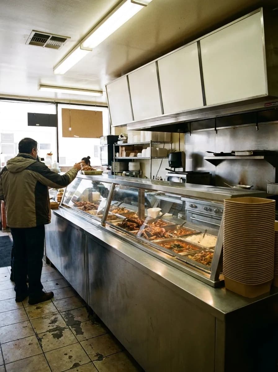
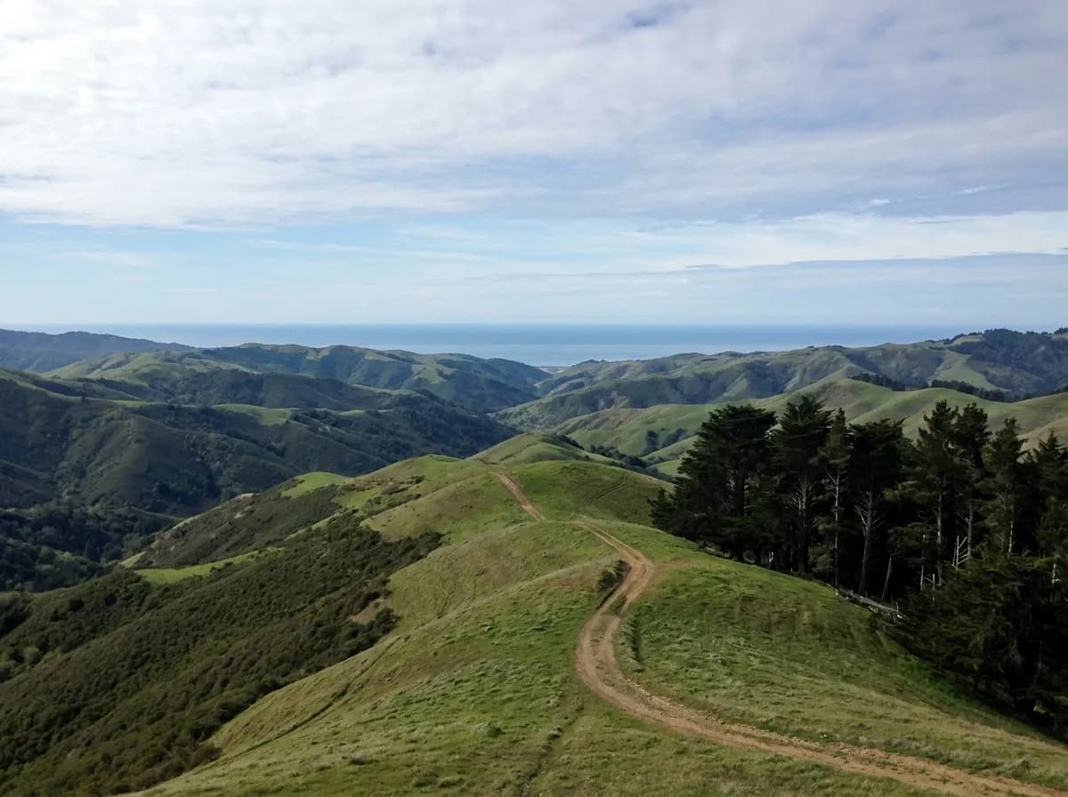
From there, drop down toward the coast for the second half. The Bolinas lagoon, Stinson beach and the ridge road above them make an unhurried afternoon, and there is a second category of seasonal falls dropping toward the sea along that stretch. Eat in Stinson or Bolinas rather than packing everything, because the small kitchens out there are part of the point and they close early.
The Peninsula loop, south down the spine
The southern version is gentler and less crowded. Head down through the open space preserves on the ridge — free parking, redwood canyons, seasonal creek falls, and trails that are far quieter than anything in Marin on the same weekend. The falls are smaller. The forest is better, and the driving is significantly easier.
Close that loop by dropping to the coast at Half Moon Bay or Pescadero and coming home up Highway 1. Pescadero in particular is worth timing lunch around, and the beaches between there and Pacifica are the best part of the drive in the last hour of light.
What to bring and what to wear
This is a mud day. Shoes with real grip, a change of socks in the car, and a waterproof shell that handles wind as well as rain. Layers matter more than insulation, because the temperature difference between a sheltered canyon floor and an exposed ridge in February is substantial and you will move between them repeatedly.
Carry water and food even if you plan to eat out, since the timing rarely works out exactly and the good kitchens on these routes keep short winter hours. Download the map before you leave: mobile coverage in the canyons on both loops is unreliable, and the trail junctions are where you will want it.
Doing it safely and leaving it intact
The hazards on these walks are boring and consistent: slick rock beside running water, poison oak on nearly every trail in the region, and swollen creek crossings after heavy rain. Poison oak is hardest to spot in winter when it has lost its leaves, which is exactly when these trails are best, so staying on the path is the practical rule.
The trails themselves are fragile in the wet season. Walking around a muddy section widens the trail and accelerates erosion in these canyons, so the correct move is straight through the middle in shoes you have accepted will get ruined. Take the rubbish out, do not build rock stacks in the creeks, and if the lot is full, drive on to the next trailhead rather than inventing a parking space — the tow trucks on these roads are prompt and expensive.
Tags: #SanFrancisco #BayArea #Waterfalls #DayTrip #MountTam #MarinCounty #Pescadero #HighwayOne #HikingSF #FreeThingsToDo #WinterHikes #SFOutdoors #WeekendPlans #NorCal
Sources consulted: parks.ca.gov · nps.gov · 511.org
All trademarks are the property of their respective owners.
Ask Karpo first
Road closures, trailhead capacity and how much water is actually running change with every storm in this region. Ask Karpo what the conditions look like for the day you have in mind, which direction has had the most rain, and where to eat along the route — it answers in iMessage before you are committed to a direction.