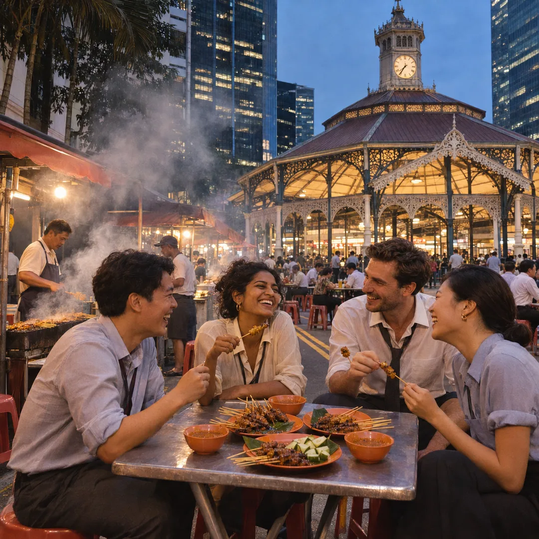
 Marina Bay Food Market Grazing Route After a Conference Day
Neighborhood Guides
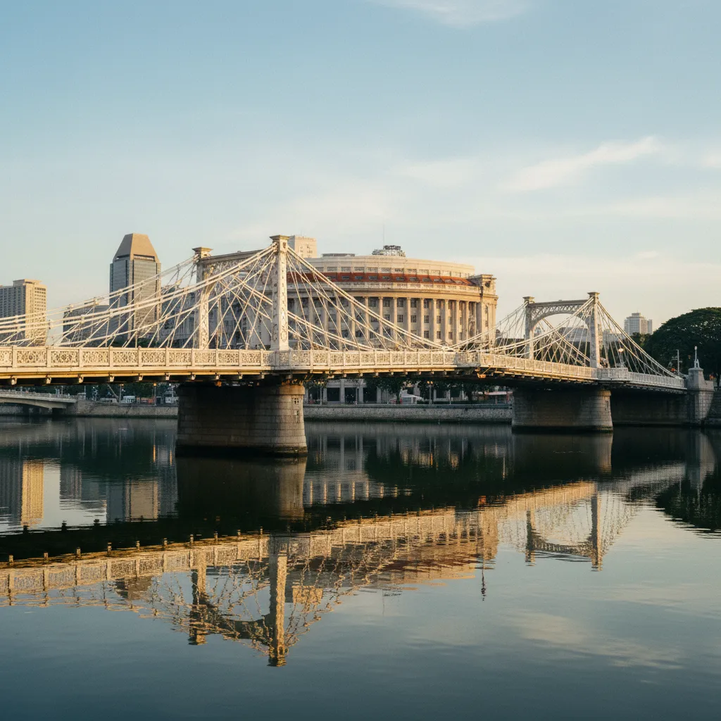
Scenic Canal Bridge Route From Telok Ayer Shophouse Lanes
Plan scenic canal bridge walks from Telok Ayer shophouse lanes connecting to Singapore's separate Alexandra Canal and Rochor Canal pedestrian routes.
Strolling through the conserved nineteenth-century shophouse corridors of Telok Ayer and Amoy Street immerses visitors in the merchant heritage of Singapore's early coastal settlement. The historical name Telok Ayer translates from Malay as 'Bay Water,' commemorating where early temples and clan associations once overlooked the shoreline. Following extensive municipal land reclamation, this heritage quarter sits inland without direct surface canals. For urban walkers based in Telok Ayer who want to experience scenic canal bridge routes, Singapore offers two distinct and separate destination corridors reached via quick public transit rides: the green Alexandra Canal Linear Park to the west, and the revitalized Rochor Canal heritage corridor to the northeast. Both options showcase different facets of tropical urban waterway design and can be enjoyed as independent half-day walking excursions.
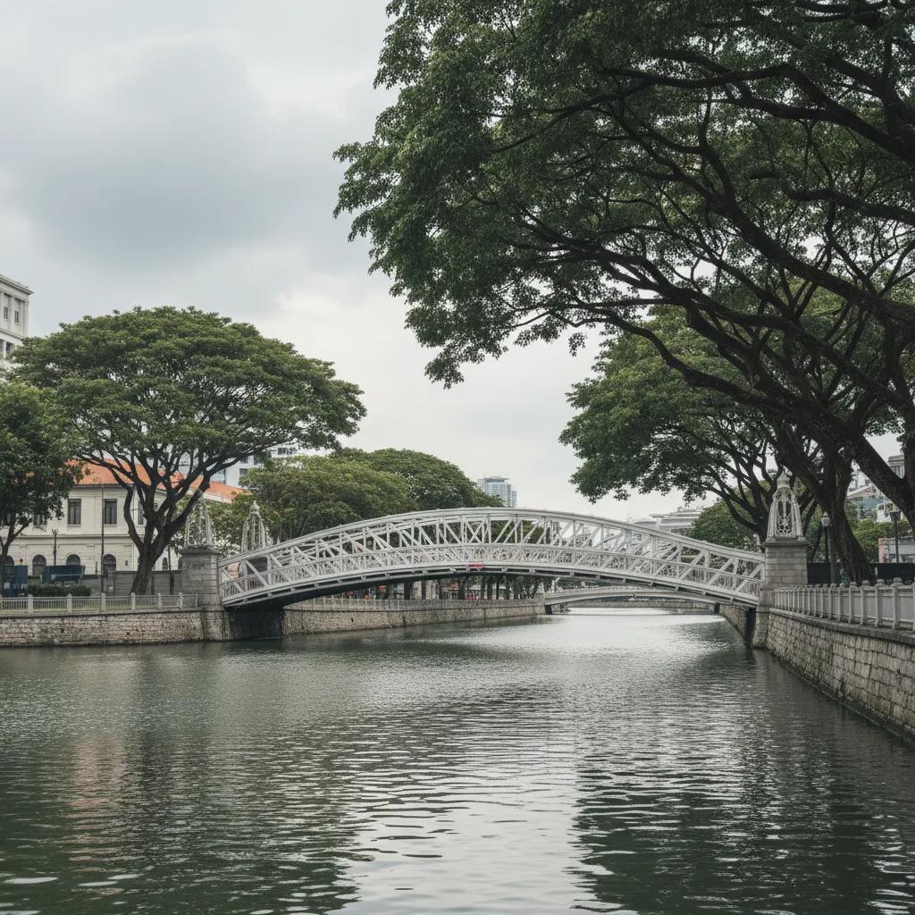
Rather than forming a single continuous walking trail, Singapore's dedicated canal linear parks represent two independent urban waterway systems situated in different sectors of the central city. Understanding this geographic distinction allows walkers departing Telok Ayer to choose the corridor that best matches their walking preferences, whether they seek leafy residential park connectors or vibrant ethnic heritage settings. Attempting to walk directly between them on foot would require navigating extensive downtown road intersections, whereas Singapore's efficient subway network allows effortless transit directly to the trailhead of either waterway corridor. Each destination offers its own distinct atmosphere, architectural context, and waterside pedestrian crossings.
Both canal systems exemplify Singapore's successful conversion of functional concrete drainage channels into attractive, tree-shaded public green spaces. By adding continuous pedestrian walkways, landscaped viewing decks, and dedicated footbridges, these waterway corridors provide tranquil pedestrian environments far removed from the bustle of the central business district. Native shoreline plantings and spreading canopy trees soften the engineered banks, creating cool, inviting corridors for walkers seeking nature in the city. The transformation reflects decades of urban greening that prioritize pedestrian comfort along public water infrastructure.
Stepping away from the towering glass skyscrapers of downtown to explore these canal corridors highlights the thoughtful layering of modern Singapore. Each footbridge along the routes offers expansive horizontal views framed by tropical trees and neighborhood architecture. Walkers can experience how public recreation, environmental management, and historic neighborhoods interweave across the island's urban fabric. The open skies above the canal channels provide a refreshing visual contrast to the enclosed canyon feeling of downtown streets.
Option One: The Alexandra Canal Linear Park Corridor
Reached by taking the Thomson-East Coast Line from Maxwell station near Telok Ayer northward to Great World or Havelock station, the Alexandra Canal Linear Park provides a peaceful western walking corridor. Built directly over the engineered upper canal, this linear park features a succession of pedestrian footbridges linking residential neighborhoods between Tanglin Road and Zion Road. The pathway runs alongside calm waters sheltered by flourishing greenery, offering a serene escape for pedestrians. The tranquil surroundings make it a favored route for residents seeking quiet morning walks.
Along the Alexandra route, pedestrian bridges connect community parks with the waterside path. Shaded by mature rain trees and yellow flame trees, these crossings allow walkers to wander between residential courtyards and the continuous linear promenade with ease, enjoying lush planting beds and quiet water views. The bridges offer convenient crossing points that knit together green open spaces across the quiet residential quarter, allowing strollers to crisscross the water and explore different landscaped gardens on either bank.
The Alexandra Canal corridor transitions eastward toward Kim Seng Bridge and the Singapore River, providing an extended green route where walkers can continue toward Robertson Quay or pause at waterside benches to take in the serene neighborhood atmosphere. This western corridor is especially suited to visitors who appreciate modern landscaped park connectors and quiet residential surroundings. The continuous pathways link up smoothly with wider island park connectors, encouraging leisurely long-distance strolls along the water.
As a distinct alternative, taking the Downtown Line from Telok Ayer station directly northeast to Rochor or Jalan Besar station brings walkers to the Rochor Canal corridor. Flanked by Jalan Besar and Bugis, this open urban canal is spanned by several pedestrian footbridges that link historic ethnic districts. The area offers a completely different visual texture, surrounded by bustling traditional commercial rows, colorful heritage shophouse facades, and vibrant street life that reflect Singapore's multicultural trading history.
Option Two: The Rochor Canal Heritage Corridor
Crossing the footbridges along Rochor Canal provides open vantage points across the urban landscape, where conserved two-story shophouse rows meet modern civic buildings. Landscaped viewing plazas along the canal banks offer peaceful spaces to observe the open waterway and surrounding city scenes. The pedestrian spans here act as vital neighborhood connections, linking residential precincts north of the canal with the bustling markets of Bugis. Mid-bridge viewing areas allow visitors to pause and take photographs of the reflection of shophouse roofs in the water.
While the Alexandra Canal path emphasizes residential greenery and linear park connectors, the Rochor Canal route highlights cultural transitions, linking the artisan workshops and cafes of Jalan Besar with the colorful streetscapes of Bugis. Choosing between them depends on whether your mood favors a quiet nature walk through residential greenways or an energetic cultural exploration framed by heritage buildings. Both options demonstrate the versatility of Singapore's urban waterways as public recreational promenades.
Early morning walks take advantage of cooler temperatures and gentle breezes channelling along the open canal corridors. Soft morning sunlight illuminates the footbridges and highlights the greenery lining the water, creating pleasant conditions for unhurried walking. The early hours are also when local residents head outdoors for morning exercise, giving each corridor an authentic community atmosphere before the tropical sun climbs high in the sky.
During the middle of the day, strong tropical sunshine makes sun protection essential. Walkers exploring either canal route can take advantage of shaded colonnades, mature tree canopies, and nearby transit concourses to find comfortable resting spots along the way. Planning a midday stop at an adjacent cafe or hawker center provides a welcome break before continuing your waterside exploration, ensuring that your walk remains comfortable throughout the afternoon.
Planning Daylight Hours and Walking Comfort
As dusk arrives, public lighting along the canal promenades and bridge handrails turns both corridors into atmospheric evening walking routes, where neighborhood residents gather for after-work strolls in the refreshing evening air. The cooler night breezes and gentle water reflections make twilight an inviting time to cross the footbridges and enjoy the urban landscape, framed by softly illuminated trees and distant city lights.
Navigating to either canal destination from Telok Ayer is effortless via Singapore's comprehensive MRT network. Maxwell station and Telok Ayer station provide direct, air-conditioned transit links that place walkers at either canal corridor within minutes. Clear signage and regular train services ensure that moving between heritage quarters and canal parkways is simple and stress-free, with no need for complex route navigation.
When strolling along canal linear parks, observing park connector guidelines ensures a pleasant experience for everyone. Walkers should remain on the left side of designated paths, leaving room for passing joggers and cyclists, particularly near narrower bridge approaches. Keeping an eye out for shared path markings helps maintain safety and harmony among all park users, allowing leisurely sightseers and fitness enthusiasts to share the route smoothly.
Navigation, Park Etiquette, and Practical Notes
After exploring your chosen canal route, returning to Telok Ayer and Amoy Street rewards you with an exceptional dining scene. Shophouse dining options range from Michelin-recognized hawkers at Amoy Street Food Centre to relaxed bistros and specialty coffee houses nestled along the historic five-foot ways. The heritage enclave offers the perfect setting to unwind with dinner and drinks after an active waterside outing, soaking in the ambient historic charm of the conserved streets.
The footbridges and linear park paths across both canal corridors are free and open to the public. MRT stations and nearby shopping complexes provide comfortable amenities along the way. You can open the Karpo APP to search for delicious dinner recommendations or leisurely strolls through Telok Ayer shophouse lanes.
Experiencing these separate canal bridge corridors demonstrates how Singapore creatively integrates hydraulic infrastructure into daily civic life, giving urban explorers diverse pedestrian landscapes across the central island. Whether you choose the tranquil western parkways of Alexandra or the vibrant cultural bridges of Rochor, each route reveals a unique perspective on Singapore's relationship with its waterways and the enduring appeal of pedestrian-centered urban design.
Ask Karpo for more information.
Keep reading
- Marina Bay Food Market Grazing Route After a Conference Day
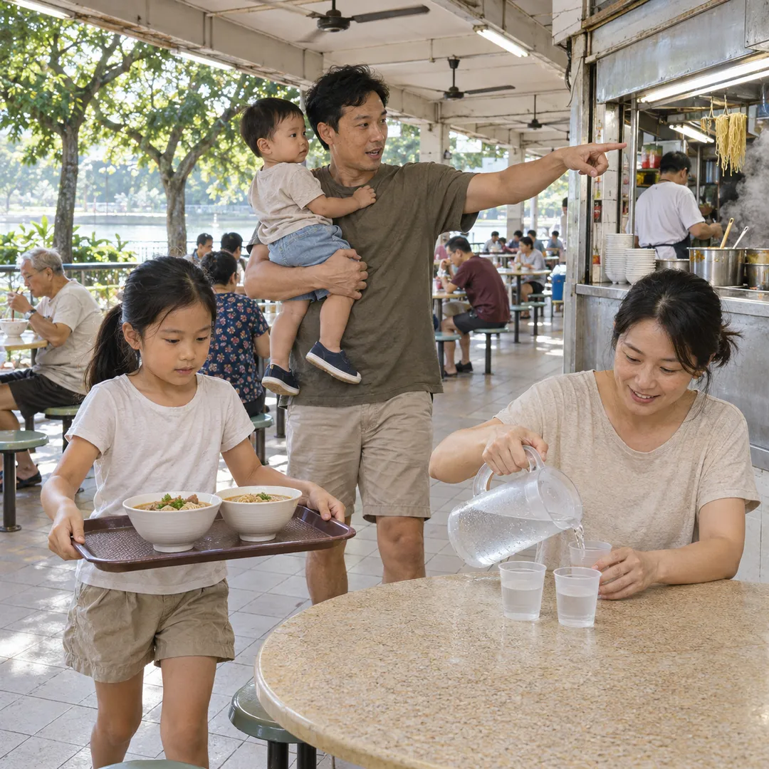 River Valley Food Market Grazing Route With Young Kids
 Serangoon Food Market Grazing Route for a Homecoming Weekend