 Marina Bay Food Market Grazing Route After a Conference Day
Neighborhood Guides
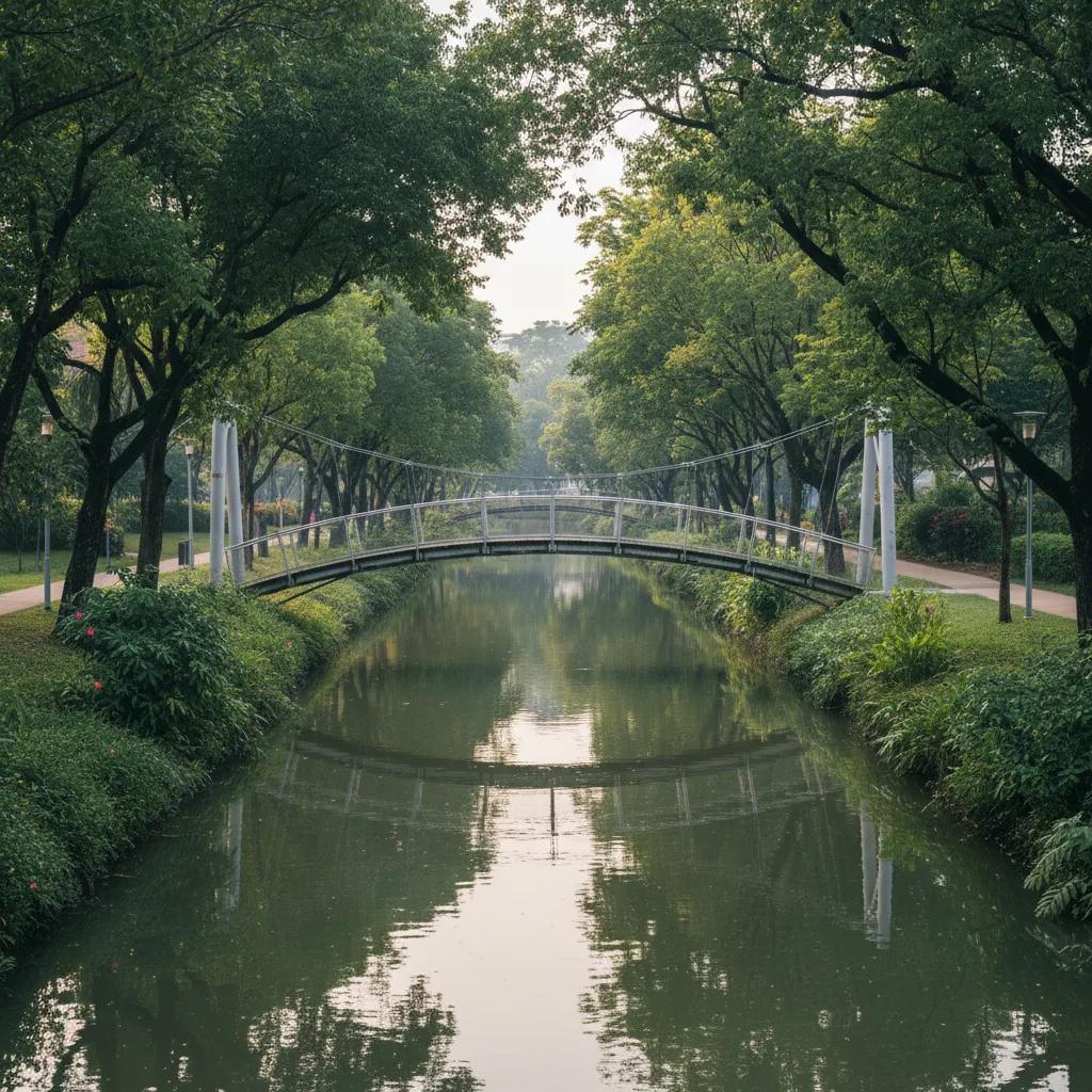
Scenic Canal Bridge Route Around Katong Waterways
Discover Singapore's scenic canal bridge route around Katong waterways, linking historic Geylang River bridges, Dakota footbridges, and coastal paths.
Walking westward from the vibrant Peranakan pastel shophouses and ceramic tile facades of Katong and Joo Chiat leads urban explorers to the historic watercourses of the Geylang River and Haig Canal. The scenic canal bridge route around Katong waterways connects Singapore's most celebrated Straits Chinese cultural quarter with an extensive network of landscaped canal bridges and tranquil park connector promenades. Historically an extensive tidal swamp and coconut plantation zone traversed by natural mangrove creeks, this eastern corridor was canalized and revitalized into a scenic blue-green spine that funnels freshwater southward into Marina Reservoir.
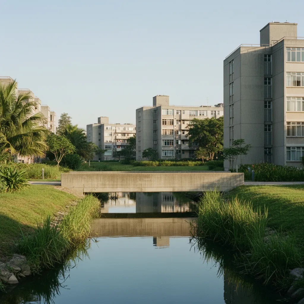
While major thoroughfares like Dunman Road and Mountbatten Road carry steady vehicular traffic, the pedestrian footbridges crossing the Geylang River offer peaceful, car-free vantage points. Linking eastern Katong to the historic post-war modernist estates of Dakota Crescent and Old Airport Road, these bridges showcase the thoughtful integration of hydraulic infrastructure with community green space. Walking across these bridges reveals a fascinating architectural contrast: heritage Peranakan shophouses and modernist mid-century housing blocks stand alongside lush riverbanks teeming with tropical flora.
For heritage walkers and leisure strollers, this eastern waterway route provides a continuous, step-free experience. Smoothly paved asphalt paths, timber-decked viewing pavilions, and broad landscaped footbridges line both banks of the river, allowing visitors to enjoy cooling water breezes beneath the shelter of mature sea apple trees and sprawling bougainvillea.
In the early morning, the calm surface of the Geylang River reflects the surrounding greenery and soft morning sky. The gentle morning breeze carries the fragrance of flowering garden shrubs from nearby landed estates, creating a serene, neighborhood-scale walking sanctuary.
Historic Footbridges: Dakota Crescent and Dunman Crossings
A central engineering and cultural feature of this waterside trail is the pedestrian crossing network around Dakota Crescent. Completed in 1958 by the Singapore Improvement Trust (SIT), the Dakota estate preserves curved brick residential blocks and a beloved historic steel-frame pedestrian bridge that spans the Geylang River. This low-slung heritage footbridge, with its distinctive blue-painted railings and weathered timber-plank surface, has served as a vital community link for generations of eastern residents.
Further north along the waterway, modern footbridges near Dunman Road and Guillemard Road provide seamless connectivity across the canal. These contemporary spans feature graceful curved concrete arches, non-slip composite surfaces, and integrated safety lighting that harmonizes with the surrounding residential landscape.
Revitalised in 2014 under the national ABC Waters programme, the concrete walls of the Geylang River have been naturalized with stone bio-swales and floating wetland planters. Standing atop these footbridges allows pedestrians to observe local wildlife, including white-breasted kingfishers, grey herons, and schools of river fish navigating the clear, aerated currents.
The mid-span viewing decks also provide unique angles on Singapore's post-war architectural heritage, offering peaceful vistas of preserved modernist apartment blocks framed by lush riverbank greenery.
Taking time to observe the architectural detailing of Dakota Crescent's historic footbridge reveals humble mid-twentieth-century design principles executed with enduring integrity. The weathered timber planks and sturdy steel railings have carried generations of market-goers, school children, and evening strollers across the Geylang River, creating a beloved neighborhood landmark deeply woven into eastern Singapore's communal memory.
Morning Towpaths and Twilight Strolling Strategy
Visiting the Katong and Geylang canal bridges during early morning between 7:00 am and 8:45 am provides the most refreshing walking conditions. The gentle morning sun illuminates the green park connector trails and reflects off the calm canal surface, while local residents enjoy early morning walks, tai chi, and cycling in the cool morning air.
Midday exploration between 11:30 am and 2:00 pm pairs seamlessly with lunch visits to nearby Old Airport Road Food Centre or Katong's famous laksa eateries. While midday tropical heat rises, the dense canopies of mature rain trees and shaded rest shelters along the canal provide pleasant, covered walking.
Twilight walking between 6:45 pm and 8:15 pm offers an enchanting atmosphere. Warm LED bollard lighting illuminates the pedestrian bridge walkways, casting soft golden reflections across the water while cooling coastal breezes drift inland from the nearby East Coast shoreline.
Local residents and morning walkers frequently pause on the bridge viewing platforms to watch kingfishers dive for small fish along the naturalized stone riverbanks. The seamless connection between historic housing estates, quiet neighborhood lanes, and landscaped waterside paths offers visitors an authentic, unhurried perspective on Singapore's heartland heritage.
Route Wayfinding and Park Connector Navigation
The Katong canal bridge circuit is completely step-free and intuitive, fully incorporated into the Geylang Park Connector Network. Walkers can conveniently start their walk at Dakota MRT station or Mountbatten MRT station on the Circle Line, following clear directional signage straight down to the riverside paths.
Etiquette along the park connector promotes courteous coexistence among diverse community users. The wide paved pathways feature dedicated pedestrian and cycling lanes, and broad bridge platforms ensure ample room for unhurried strolling and photography. Gentle ramps provide seamless access for strollers and mobility aids at every bridge landing.
Public transport integration along the route is outstanding. In addition to Dakota and Mountbatten MRT stations, Paya Lebar MRT interchange sits just a brief walk to the north, offering connections on both the East West and Circle lines. Frequent bus routes along Dunman Road and Mountbatten Road make it easy to start or conclude your walk at your leisure.
Peranakan Dining and Practical Notes
A walking tour along Katong's canal bridges pairs wonderfully with the legendary culinary heritage of the eastern neighborhoods. Just a short stroll east from the canal banks brings you into the vibrant heart of Katong and Joo Chiat, where celebrated shophouse restaurants serve authentic Katong laksa with spicy coconut gravy, traditional nonya chang dumplings, and delicate handmade Peranakan kueh.
Venturing slightly west across the Dakota footbridges leads directly to Old Airport Road Food Centre, widely regarded as one of Singapore's finest hawker destinations, famous for crispy rojak, Hokkien prawn mee, and artisanal soya beancurd.
In terms of practical route guidance, the Geylang River footbridges and park connectors are free and accessible twenty-four hours daily. Clean public restrooms, water bottle refill stations, and seating shelters are located inside Old Airport Road Food Centre and nearby community plazas. The Karpo APP provides interactive neighborhood route mapping, architectural trivia, and curated culinary guides to ensure an unforgettable exploration of Singapore's eastern waterways.
Ask Karpo for more information.
Keep reading
- Marina Bay Food Market Grazing Route After a Conference Day
 River Valley Food Market Grazing Route With Young Kids
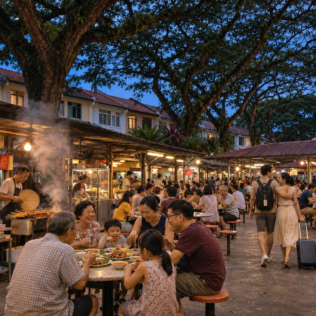 Serangoon Food Market Grazing Route for a Homecoming Weekend