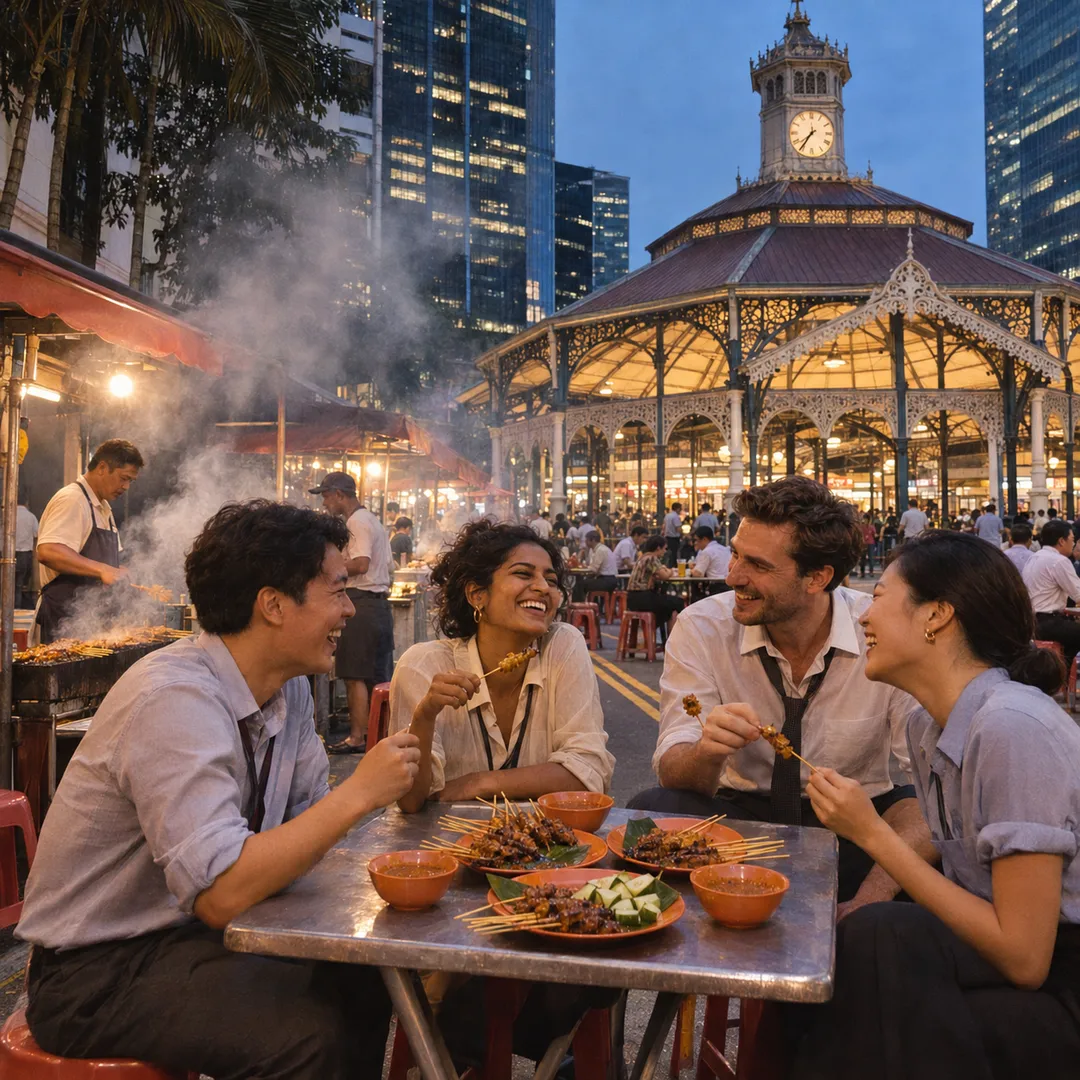
 Marina Bay Food Market Grazing Route After a Conference Day
Neighborhood Guides
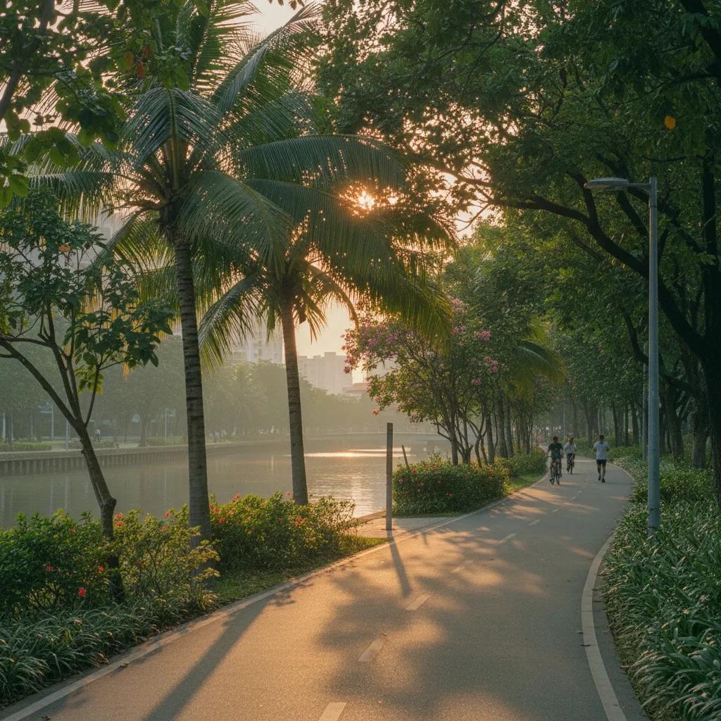
Singapore Riverside Promenade Loop: Katong River Park Route
Walk an engaging riverside promenade loop connecting the heritage streets of Katong and Joo Chiat with the peaceful green banks of Geylang River.
Blending historic Peranakan merchant streetscapes with tranquil waterway parklands, this riverside promenade loop links the vibrant heart of Katong and Joo Chiat with the scenic green corridors of the Geylang River. Commencing among conserved pastel shophouse facades along East Coast Road, the circular route guides pedestrians west through residential heritage avenues toward the open waterfront path of the Geylang Park Connector. Following shaded waterside tracks down toward the Tanjong Rhu basin and looping back via Dunman Road, walkers experience a harmonious marriage of architectural nostalgia and breezy natural water scenery that captures the distinct character of southeastern Singapore.
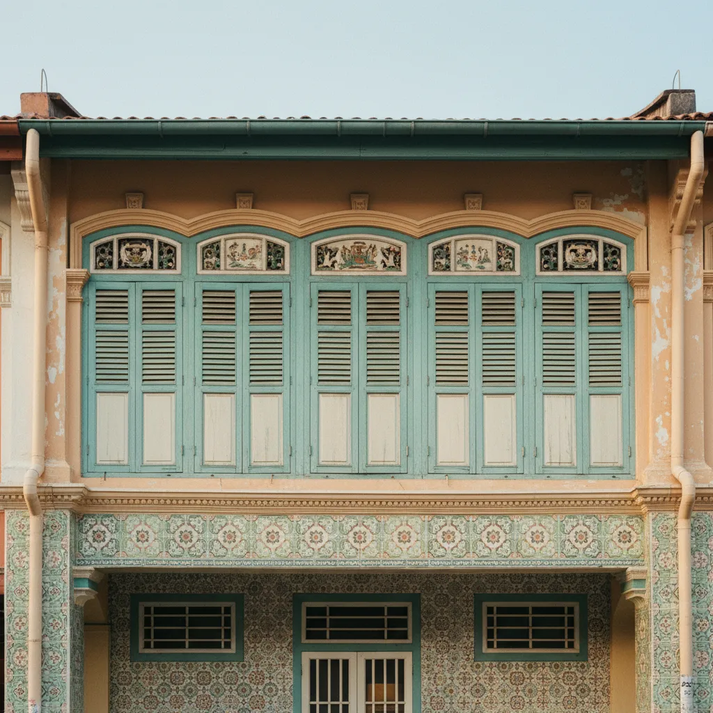
Departing Katong Shophouse Avenues for the River Connector
Starting near the junction of Joo Chiat Road and East Coast Road in early morning, the district hums with gentle neighborhood awakening. Traditional coffee shop shutters roll open to release the rich aroma of freshly brewed robusta coffee beans, while morning sunlight glints across intricate ceramic floral tiles decorating five-foot-way walkways. Early morning walkers will notice a quiet pace here, where older shopkeepers sweep granite thresholds and delivery tricycles glide silently along the curb.
Rather than remaining purely within commercial retail streets, this promenade loop leads westward along quiet residential side streets like Ceylon Road and Marshall Road. Towering angsana trees and private terrace gardens filled with blooming bougainvillea and potted orchids cast long morning shadows over the quiet pavement. The contrast between ornate residential architecture and quiet tree-lined sidewalks sets a calm rhythm for the outing.
Crossing Haig Road and proceeding down toward Dunman Road, the streetscape gradually opens into wider green verges and manicured lawns. Birds chirping in mature rain tree canopies announce the approach of the Geylang River waterway, which flows steadily south toward the Marina Reservoir basin. The transition from heritage shophouses to open park greenery occurs organically over just a few residential blocks.
The entrance ramp to the Geylang Park Connector provides smooth, step-free access down to the water's edge. Here, the pedestrian promenade transforms into a broad, dedicated track surfaced in smooth asphalt, separated safely from vehicular traffic. Painted distance markers embedded in the pathway help walkers gauge their pace as they trace the water's western bank.
Local residents frequently begin their morning walks at this neighborhood nexus, stepping seamlessly from historic suburban lanes directly onto the quiet riverside promenade path. Benches shaded by broad frangipani branches offer comfortable spots to lace up walking shoes or sip morning tea before joining the riverside flow.
Following the Lush Waterway Promenade along Geylang River
Turning southward along the river embankment, the promenade traces the natural bends of the canalized waterway. Riverbank restoration projects have lined the concrete channels with naturalized stone rip-rap and emergent wetland grasses, encouraging native aquatic life and wetland vegetation to flourish along the corridor.
Grey herons, little egrets, and white-collared kingfishers are regular morning sights, perching motionless along stone ledges before darting gracefully into shallow waters. Large water monitors can sometimes be spotted swimming lazily along the riverbanks, their sleek forms cutting clean ripples through the water. The continuous murmur of flowing water creates a peaceful acoustic sanctuary in contrast to nearby thoroughfares.
The walking surface is wide enough to accommodate leisurely strolls without feeling crowded by oncoming runners or recreational cyclists. Generous shade canopies formed by weeping figs, broad-leafed sea almonds, and yellow flame trees keep ambient temperatures comfortable even as tropical morning sunshine gathers intensity overhead.
Rest benches fabricated from recycled timber are strategically positioned at river meanders, offering tranquil spots to pause and observe morning water reflections. Informative nature boards illustrate the river ecosystem's biodiversity, describing local freshwater fish varieties and explaining how native riverbanks filter urban stormwater runoff.
Passing beneath low road bridges like Mountbatten Road via dedicated pedestrian underpasses, the circuit continues uninterrupted without needing to cross street intersections. These covered passages are well-illuminated and ventilated, featuring colorful community murals celebrating Singapore's river history.
Reaching the Tanjong Rhu Promenade and Reservoir Estuary
As the river widens toward the Tanjong Rhu basin, the promenade expands into an airy, scenic waterfront boulevard. Across the open water basin, the futuristic curved dome of the Singapore National Stadium rises majestically against the western skyline, its metallic structure gleaming in the bright coastal air.
This wide estuarine expanse welcomes steady maritime breezes sweeping inland from the nearby open coast. Traditional dragon boat crews and recreational kayakers frequently paddle across the glassy basin waters, their rhythmic strokes adding vibrant movement and energy to the panoramic marine view.
The iconic Tanjong Rhu suspension footbridge arches gracefully overhead, its curved steel pylons providing an architectural focal point where water and sky meet. Walkers can ascend the gentle bridge approach ramps for elevated vantage points gazing across the water toward the distant downtown skyline and the green banks of Kallang Riverside Park.
Paved brick terraces along the water's edge feature drinking fountains and sheltered pavilions surrounded by fragrant frangipani blossoms and tropical palms. It is a favored resting quarter for long-distance walkers completing eastern park connector loops, offering cooling breezes directly off the marina basin.
The transition from enclosed river canal to open bay estuary highlights Singapore's remarkable urban planning, where green recreation trails link seamlessly across disparate neighborhoods. From this southern pivot, walkers can pause to absorb the panoramic meeting of river, reservoir, and modern sports architecture.
Looping Back through Heritage Joo Chiat Streets
From the Tanjong Rhu turnabout, the circuit curves northeastward along shaded footpaths flanking Dunman Road and Geylang River's northern bank. This return journey brings pedestrians back into the historic residential folds of Joo Chiat and Katong, where tree-lined residential estates replace open waterfront vistas.
Diverging along Koon Seng Road, walkers encounter the neighborhood's most celebrated ensemble of pre-war Peranakan terrace houses. Built in the 1920s, these two-story residences showcase pastel-hued facades adorned with Chinese animal reliefs, Malay timber eaves, and European Corinthian capitals, representing a magnificent blend of multicultural decorative traditions.
Strolling down the shaded pavements of Joo Chiat Road reveals indie bookstores, heritage confectioneries, and conserved shophouse courtyards. The street level exhibits a rich tapestry of living heritage where generational trades, traditional nonya dumpling kitchens, and artisan cafes sit comfortably alongside contemporary design studios.
The gentle circular stride returns walkers effortlessly to East Coast Road, completing a deeply rewarding loop that balances riverside tranquility with rich cultural exploration. Footpaths here remain shaded by continuous five-foot-way corridors, offering sheltering eaves against sudden midday showers.
Planning Considerations and Visitor Navigation
Completing the Katong riverside promenade loop covers a distance of roughly 4.2 kilometers, taking approximately 60 to 80 minutes at a comfortable pedestrian pace. The entire circuit features level, well-paved surfaces suitable for comfortable walking shoes, with minimal gradient changes throughout the loop.
Optimal walking times fall between 7:00 AM and 9:00 AM, or during late afternoon from 5:30 PM onward. These cooler time slots take full advantage of soft tropical lighting, lively bird activity along the riverbanks, and cooler waterfront breezes that make outdoor exercise deeply restorative.
Public transport provides convenient access to the route. Dakota MRT station on the Circle Line sits within a short walk of the Geylang River Connector, while Marine Parade MRT station on the Thomson-East Coast Line connects directly into East Coast Road, allowing flexible starting points.
Clean public restrooms, water refill stations, and sheltered rest pavilions are spaced thoughtfully along the river connector path, making this circuit exceptionally comfortable for unhurried weekend exploration. Shaded seating areas offer convenient spots to rehydrate or review route maps.
For walkers looking to discover the quieter waterside rhythms of eastern Singapore, this combined heritage and river corridor walk offers an authentic, multifaceted slice of neighborhood character. It pairs the tranquil, reflective qualities of nature along the river with the sensory pleasures of traditional Peranakan architecture and neighborhood dining.
Ask Karpo for more information.
Keep reading
- Marina Bay Food Market Grazing Route After a Conference Day
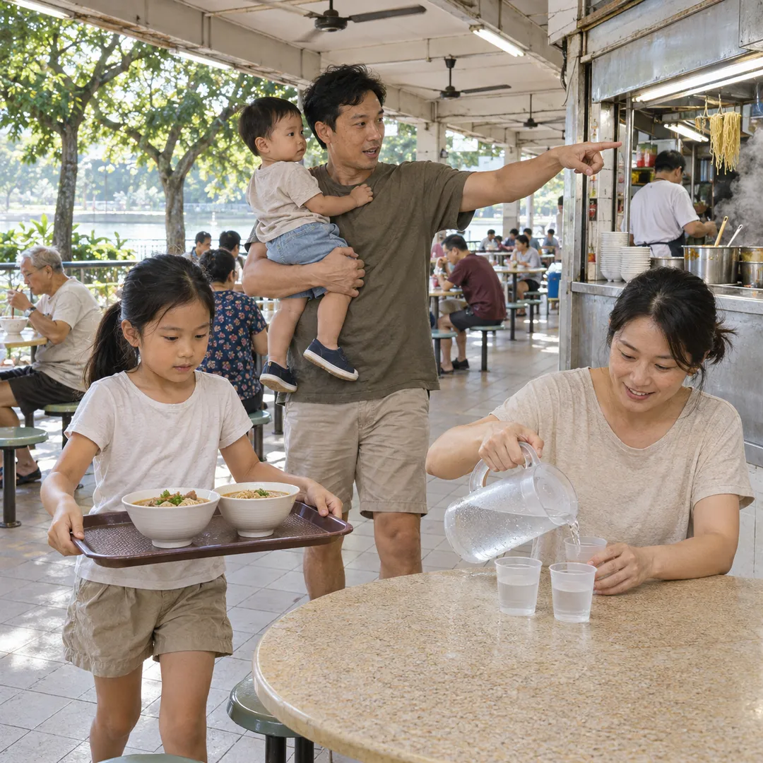 River Valley Food Market Grazing Route With Young Kids
 Serangoon Food Market Grazing Route for a Homecoming Weekend