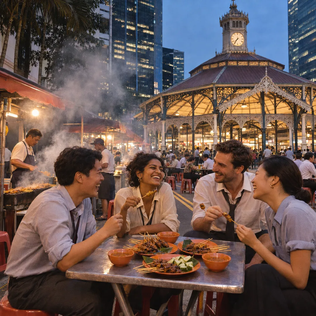
 Marina Bay Food Market Grazing Route After a Conference Day
Neighborhood Guides

Singapore Riverside Promenade Loop: Kampong Glam River Trail
Discover a scenic riverside promenade loop winding from the textile lanes of Kampong Glam toward the breezy waterside parklands of Kallang River.
Spanning from the vibrant heritage textile shophouses of Kampong Glam to the wide coastal waters of the Kallang River basin, this riverside promenade loop combines rich cultural history with expansive waterfront leisure corridors. Walkers start near the golden dome of Sultan Mosque and the historic five-foot-ways of Arab Street before heading eastward toward the peaceful pedestrian trails of the Kallang Riverside Park. The circuit guides pedestrians along smooth riverside park connectors where open breezes, coastal mangroves, and panoramic water views over the basin create a revitalizing walking route.

Departing Arab Street Through the Shaded Lanes of Kampong Glam
The walk begins along the vibrant corridor of Arab Street, flanked by conserved two-storey shophouses displaying colorful rolls of fine Indonesian batik, Persian rugs, and aromatic essential perfume oils. The historic enclave was designated in the 1820s as a settlement for Malay, Arab, and Bugis merchants, and its rich mercantile spirit thrives to this day.
Strolling along Baghdad Street and Haji Lane, the pedestrian environment is intimate and expressive. Striking modern street murals, artisanal leather crafters, and independent coffee roasteries occupy historic five-foot-ways, where ornate wooden louvers and pastel paintwork frame every corner.
Passing Muscat Street, walkers catch sweeping glimpses of the majestic golden dome and minarets of Sultan Mosque, constructed with a base ring of recycled glass bottles contributed by early immigrant devotees. Tropical palms and pedestrianized plazas create an unhurried, welcoming departure point.
Walking through Bussorah Street, palm-shaded pedestrian promenades feature heritage lampposts and outdoor craft stalls where visitors browse traditional songkok hats and hand-loomed textiles.
Turning into Kandahar Street, the ornate facade of the Malay Heritage Centre stands within manicured grounds, surrounded by mature banyan trees and historical displays illustrating traditional maritime trade across the Malay Archipelago.
Heading eastward toward Beach Road and Ophir Road, the walking path crosses wide, tree-shaded pedestrian thoroughfares. The historic shoreline of pre-reclamation Singapore was once located along Beach Road, and walking eastward traces the city's geographical expansion toward the expansive Kallang River estuary.
Entering the Tree-Lined Pathways of Kallang Riverside Park
Crossing toward Crawford Street and crossing the footpaths near the Lavender corridor, walkers step directly onto the verdant green park connectors of Kallang Riverside Park. The sudden transition from bustling heritage streets to tranquil waterfront parkland is immediate and striking.
The riverside promenade here traces the gentle curves of the Kallang River as it approaches the vast open basin. Wide asphalt and brick-paved pathways are bordered by swaying casuarina trees, flowering bougainvillea, and tall sea hibiscus that provide comforting dappled shade.
Walking along the western riverbank, pedestrians overlook the calm expanse of water where dragon boaters, flatwater kayakers, and stand-up paddleboarders practice in the early hours. The broad water channel acts as a natural cooling conduit, drawing fresh breezes from the nearby Marina Reservoir.
Generous public lawns and wooden gazebos flank the promenade, providing peaceful vantage points to observe native river wildlife, including smooth-coated otters, white-bellied sea eagles, and colorful kingfishers hunting along the water's edge.
Paved fishing jetties and viewing platforms extend over the tidal water, where local anglers cast lines into the brackish currents against a backdrop of distant coastal palms and modern sports stadium architecture.
The riverbank incorporates naturalized shorelines where intertidal wetland plants filter urban runoff, creating small mangrove pockets where mudskippers and fiddler crabs scurry among root tangles during low tide.
Looping Across Pedestrian Bridges and Riverbank Connectors
Proceeding southward along the water, the trail approaches the Merdeka Bridge and the pedestrian bridges crossing the Rochor River tributary. Pedestrian suspension ramps and wide footbridges enable walkers to cross safely above waterways and busy road junctions without breaking their walking rhythm.
The route joins the Rochor Canal park connector, following the landscaped riverbanks as they head inland back toward the historic district. Clean, aerated canal waters flow between terraced wetland planters filled with water lilies, cattails, and native aquatic reeds.
Walking along the northern bank of the Rochor corridor, pedestrians enjoy landscaped plazas equipped with stone benches and public exercise stations. The integration of modern water management infrastructure with accessible public walking parkways exemplifies Singapore's sensitive urban greening.
Crossing back northward along pedestrian boardwalks connects walkers directly back toward Jalan Sultan and the Kampong Glam conservation precinct, completing an enriching circular route between cultural heritage and waterside tranquility.
The wide, continuous park connector pathways feature dedicated lanes for walking and cycling, making pedestrian travel safe and stress-free throughout the entire loop.
Microclimates, Seasonal Conditions, and Ideal Times to Walk
Given the open expanses of Kallang Basin, walking in the early morning hours between dawn and 9:00 AM provides the most comfortable temperatures and clearest skies. Morning breezes off the basin are invigorating, and water sports activity creates an active, inspiring backdrop.
Late afternoons between 5:30 PM and sunset offer another prime window, as the heat of the tropical sun subsides behind the downtown skyscrapers. The expansive horizon over the river basin glows with purple and orange evening reflections.
During the sunnier midday periods, the shaded five-foot-ways of Kampong Glam and the thick tree canopies through Kallang Riverside Park provide dependable shelter from direct heat, while public water pavilions offer convenient resting points.
Coastal maritime winds tend to freshen as twilight deepens, providing refreshing conditions for sunset strolls along the open riverbanks.
Practical Navigation and Trail Essentials
This loop measures approximately 4.8 kilometers and requires roughly 75 to 90 minutes of comfortable walking. It is conveniently anchored by Bugis MRT Station (Downtown and East-West lines) at the western end and Lavender MRT Station (East-West Line) near the riverside park.
The entire pathway is flat, paved, and barrier-free, suitable for recreational walkers, power strollers, and casual evening runners. Sun protection, including a lightweight hat and UV-blocking sunglasses, is recommended for the open waterfront stretches around the basin.
Clean public restrooms, water dispensers, and shaded park shelters are readily accessible within Kallang Riverside Park and along the Rochor Canal greenway.
Pedestrians should share the park connector paths courteously with recreational cyclists and maintain awareness on approach bridges. This scenic circuit offers an extraordinary cross-section of Singapore, moving seamlessly from intimate heritage trading lanes to open river vistas.
Ask Karpo for more information.
Keep reading
- Marina Bay Food Market Grazing Route After a Conference Day
 River Valley Food Market Grazing Route With Young Kids
 Serangoon Food Market Grazing Route for a Homecoming Weekend