 Marina Bay Food Market Grazing Route After a Conference Day
Neighborhood Guides
Clarke Quay Historic Riverside Promenade Loop in Singapore
Stroll the vibrant Clarke Quay riverside promenade loop crossing historic Read and Coleman bridges along restored conservation river godowns.
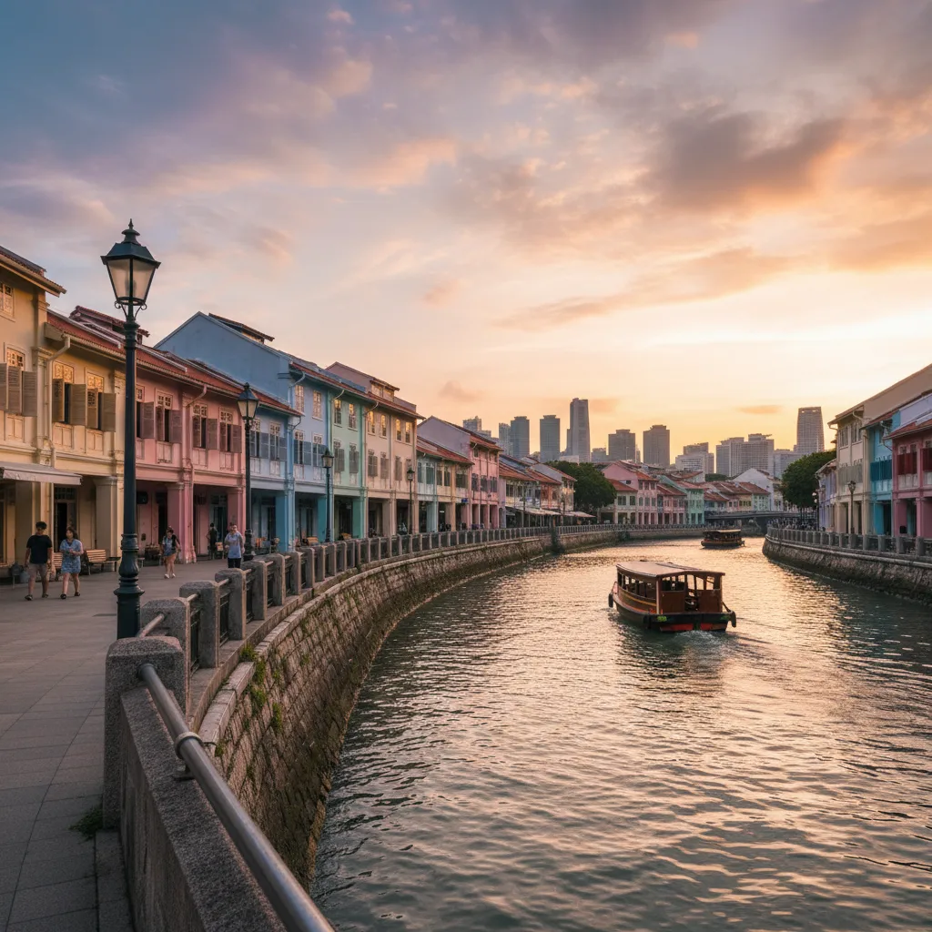
Embracing centuries of maritime commerce and lively civic reinvention, this Clarke Quay historic riverside promenade loop offers an engaging two-kilometer walking journey through Singapore's storied commercial core. Situated along the central navigable belly of the Singapore River, this pedestrian circuit winds along historic stone-lined embankments, crossing heritage cast-iron and masonry bridges while tracing rows of painstakingly restored nineteenth-century trading godowns. Walkers experience an intimate connection with the city's origins, guided by water-level breezes and architectural textures.
Starting the Historic Embankment Circuit at Read Bridge
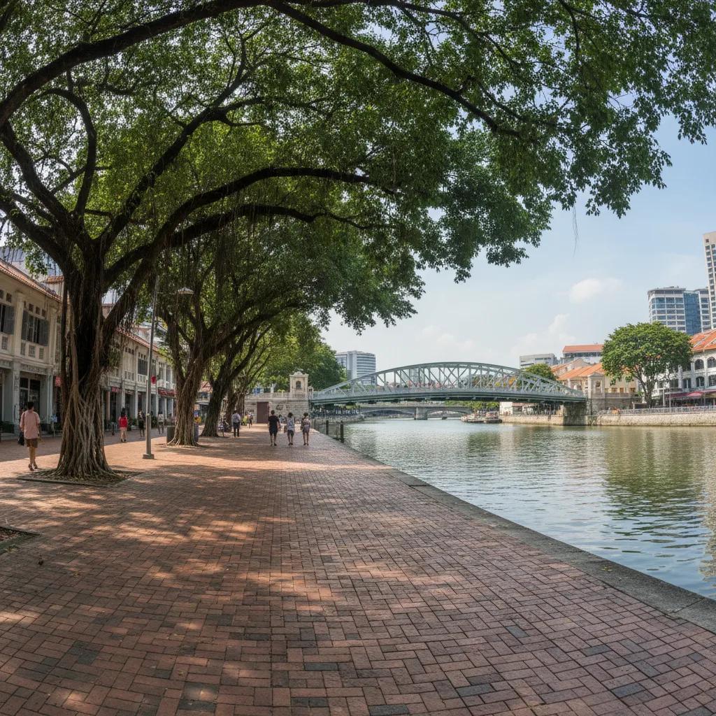
Commencing at the open pedestrian plaza flanking Read Bridge, strollers step onto a wide, brick-paved waterfront esplanade that captures the dynamic essence of the river basin. Read Bridge, originally erected in 1889 and affectionately known locally as Malacca Bridge, features distinctive green-painted wrought-iron trusses and open timber deck walkways that invite people to linger over the water. Standing at mid-span, walkers can watch colorful wooden bumboats maneuver smoothly through the gentle river swell on their way upstream.
Green iron lampposts modeled on Victorian gas lamps illuminate the water's edge, casting an atmospheric glow across the stone revetments as evening approaches. The northern riverbank path stretches out toward the east, following the sweeping natural curve of the waterway beneath tall shade trees and climate-responsive architectural canopies. These iconic canopies, designed to mimic floating angelic lilies, provide continuous cooling shade and shelter from tropical rain without obscuring the historic facade lines.
Footpaths beneath the canopy structures are paved with polished red and ochre cobblestones, laid in decorative fan patterns that pay homage to traditional trade harbor streetscapes. The waterfront corridor remains fully dedicated to pedestrians, allowing visitors to walk at their own pace without interruption from motor traffic. Outdoor dining terraces are neatly demarcated along the inner wall, keeping the water-facing promenade completely clear for easy two-way foot traffic.
Traversing the Shaded Riverside Path Toward Coleman Bridge
Proceeding eastward toward Coleman Bridge, the promenade passes water taxi boarding pontoons where visitors can purchase river cruise tickets or simply watch passengers embark. Coleman Bridge, named after Singapore's premier colonial architect George Coleman, showcases elegant arched masonry piers and decorative iron balustrades restored to their original 1886 specifications. Climbing the gentle stone ramp to the bridge deck provides panoramic viewpoints looking directly toward Fort Canning Hill rising green in the background.
Architectural preservation along this reach is exemplary, showcasing two-story godowns with pitched clay-tile roofs, louvered timber shutters, and pastel lime-wash facades that once stored spices, rubber, and gambier. Each building carries subtle brass plaques detailing the commercial trading houses that originally occupied the premises, transforming a casual stroll into an outdoor architectural museum. Gentle river breezes drift between the alleyways, cooling the stone walkways throughout the afternoon.
Descending toward Elgin Bridge, the loop reaches the historic division between upper river trading wharves and the downstream mercantile offices of Boat Quay. Elgin Bridge represents the site of the very first bridge crossing built across the Singapore River in the 1820s, with the current handsome concrete arch structure dating back to 1929. Its balustrades feature cast-bronze medallions depicting traditional lion heads, glowing warmly in the afternoon sun.
Crossing Elgin Bridge to the Southern Riverbank Walkway
Traversing across Elgin Bridge brings walkers onto the southern riverbank along North Canal Road and the fringe of the central business district. Here, the river promenade transitions into a tranquil, tree-lined stone walkway framed by lush weeping figs and native sea apple trees. The contrasts along this southern bank are striking, as century-old shophouses reflect across the river against the modern glass towers of Clarke Quay Central.
Restored 19th-century commercial structures along the southern embankment now house boutique offices, artisanal cafes, and quiet neighborhood retail spots that maintain a peaceful neighborhood character during daylight hours. Wide granite steps lead directly down to the water level at regular intervals, providing scenic places to sit quietly and observe aquatic life including schools of mullet and occasional smooth-coated otters hunting near the bridge footings.
Gliding electric bumboats emit only a soft electric hum as they transport commuters and sightseers, maintaining the serene acoustic ambiance of the waterfront loop. The southern path continues westward beneath the shaded arches of Coleman Bridge through a cleanly maintained, well-ventilated pedestrian underpass that completely avoids street-level vehicle crossings. Mosaic tile murals depicting historical river life line the underpass walls, adding visual storytelling to the route.
Restored Warehouses and Bumboats Along the Water's Edge
Approaching the southern ramp of Read Bridge, the loop completes its circular journey around the central Clarke Quay river basin. The entire path surface remains consistently flat, paved with non-slip natural stone, and equipped with continuous handrails where the trail nears open water. Strollers can seamlessly extend their walk downstream toward Boat Quay or upstream toward Robertson Quay via continuous park connectors.
Paved steps along the river quays invite walkers to pause and enjoy the cool river breezes that naturally funnel through the valley between Fort Canning Hill and the commercial ridge. The soothing sound of moving water and the rhythmic creak of wooden bumboats against rubber fender moorings create an authentic maritime atmosphere that transports walkers far away from modern metropolitan stress.
Navigating this historic river loop requires approximately thirty to forty-five minutes of steady walking, covering a distance of just under two kilometers. The completely flat terrain and frequent ramped bridge crossings make it an effortless stroll suitable for families, seniors, and fitness walkers alike.
Walk Planning, Best Operating Hours, and Transit Points
Twilight between 6:00 PM and 7:30 PM is widely considered the most magical time to experience the Clarke Quay circuit. As the tropical sun dips below the horizon, the historic warehouse facades are bathed in warm golden light, and the overhead architectural umbrellas softly illuminate in pastel hues that reflect across the rippling water.
Convenient MRT connectivity makes accessing this loop exceptionally straightforward: Clarke Quay MRT Station on the North East Line opens directly into the Clarke Quay Central shopping concourse along the southern bank, while Fort Canning MRT Station on the Downtown Line exits mere steps from the northern edge of Read Bridge. Well-maintained public restrooms and clean drinking water fountains are accessible within Clarke Quay Central and along the outdoor river promenade.
Ask Karpo for more information.
Keep reading
- Marina Bay Food Market Grazing Route After a Conference Day
 River Valley Food Market Grazing Route With Young Kids
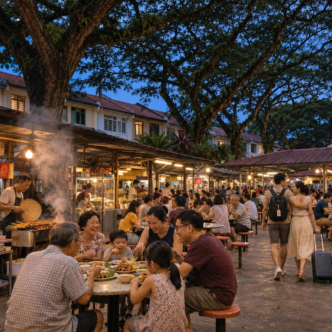 Serangoon Food Market Grazing Route for a Homecoming Weekend