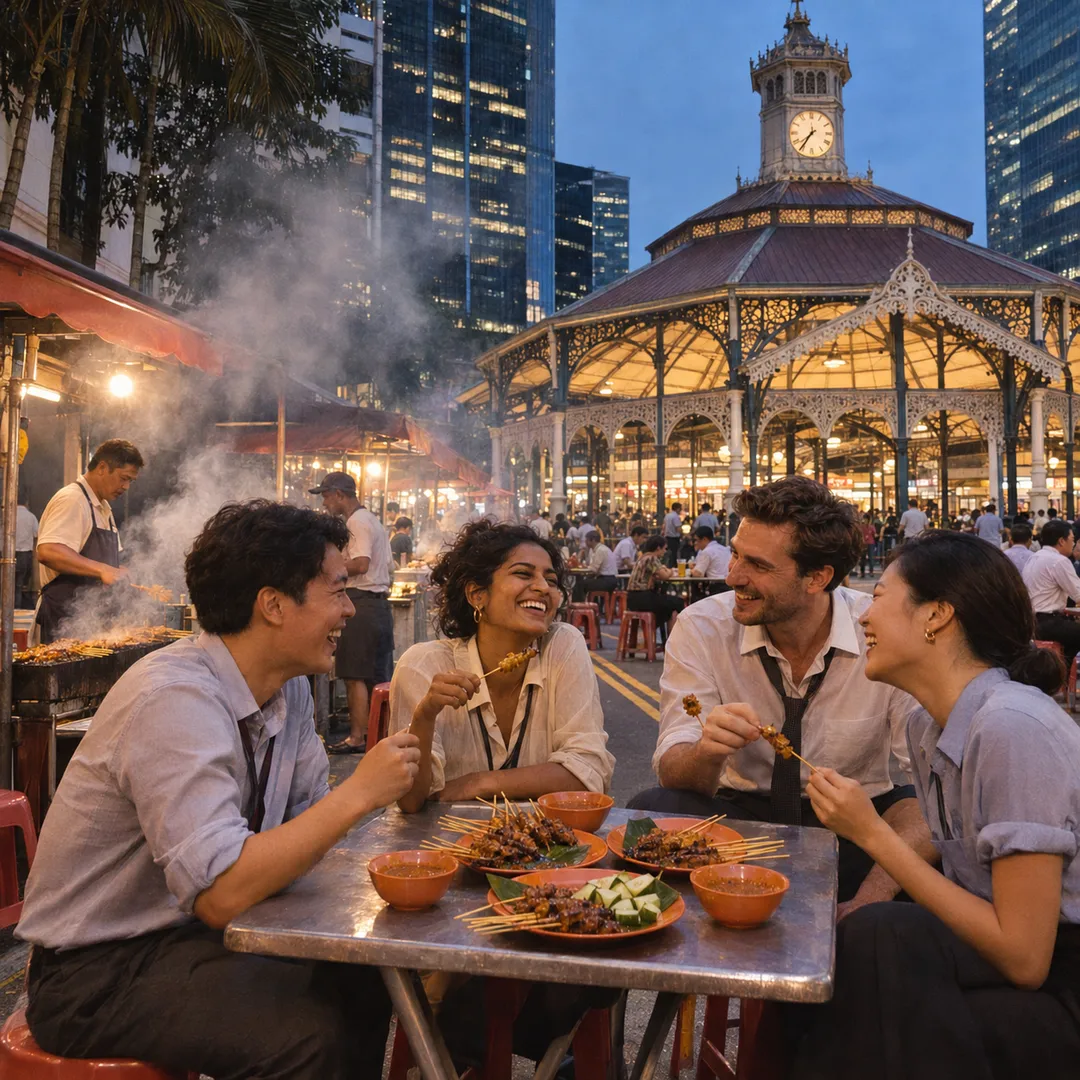
 Marina Bay Food Market Grazing Route After a Conference Day
Neighborhood Guides
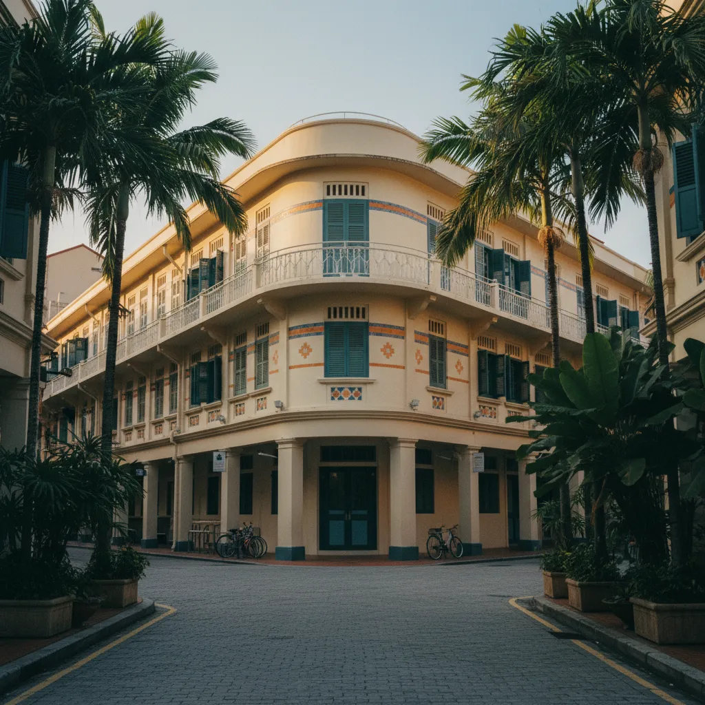
Singapore Riverside Promenade Loop: Keong Saik River Walk
Connect the vibrant architectural rhythm of Keong Saik Road and Chinatown with the serene, tree-canopied pedestrian boardwalks of Robertson Quay.
Weaving effortlessly through the architectural layers of historic Chinatown before joining the tranquil waterfront reaches of the upper Singapore River, this riverside promenade loop pairs energetic heritage districts with calm waterside walking corridors. Beginning among the distinctive Streamline Moderne curves and vibrant eateries of Keong Saik Road, walkers journey through conserved heritage enclaves down toward the cool riverbank at Robertson Quay. The circuit highlights how lush tree canopies, broad timber boardwalks, and pedestrian footbridges weave together distinct urban neighborhoods into a continuous walking escape.
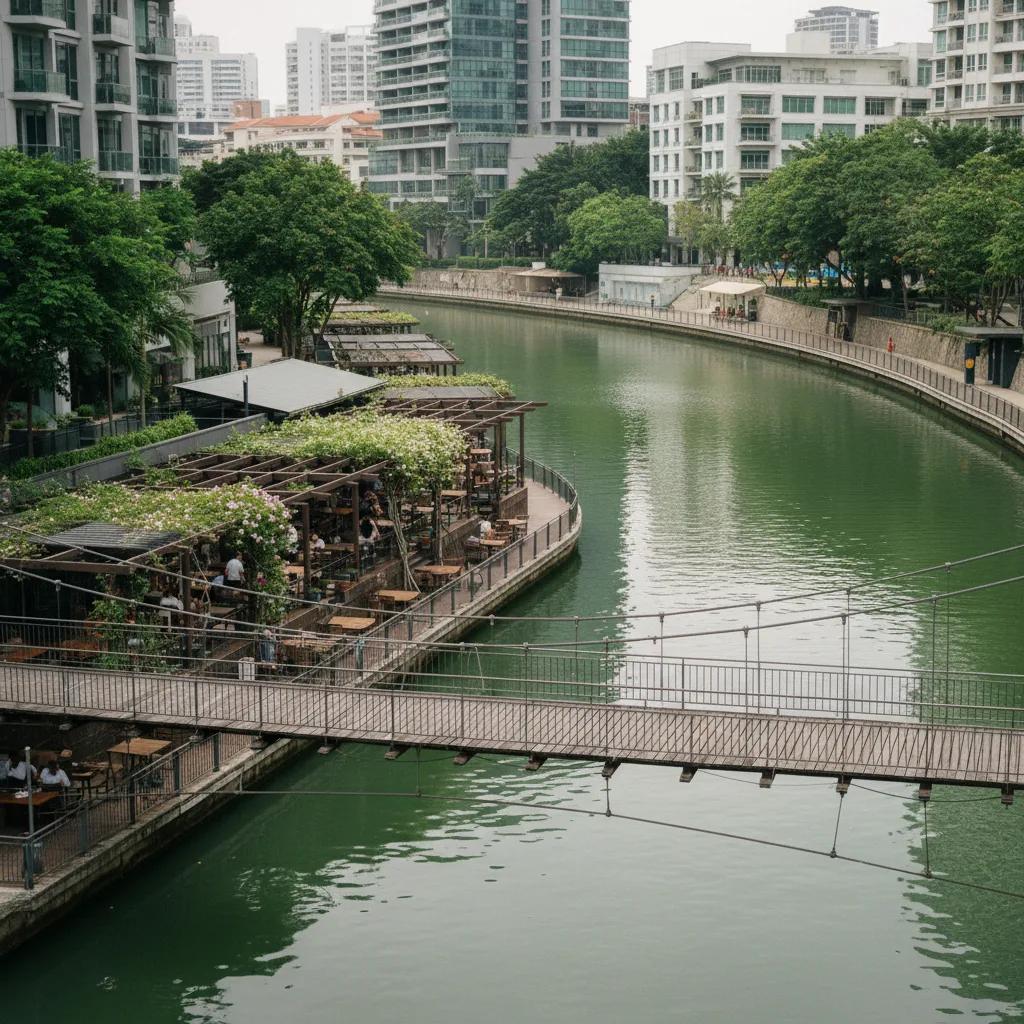
Starting Across the Distinctive Architectural Curves of Keong Saik
Setting out from the triangular intersection where Keong Saik Road meets Teck Lim Road, the neighborhood presents an architectural masterclass in mid-twentieth-century tropical conservation. Streamline Moderne curves, round porthole windows, and geometric balustrades sit harmoniously alongside classic southern Chinese shophouse terraces.
Walking through the sheltered five-foot-ways along Jiak Chuan Road, the air is fragrant with morning coffee roasting and steamed artisanal pastries from neighborhood cafes. Clan association plaques and gilded calligraphic emblems adorn traditional doorways, recalling the rich communal roots of early Cantonese and Hokkien merchant families.
Proceeding northward across New Bridge Road, pedestrians enter the shaded secondary streets behind People's Park Complex. Tree-lined footpaths lead toward Upper Cross Street, navigating past bustling fruit markets and traditional herbal apothecaries.
Strolling along the quieter residential edges of Pearl's Hill City Park offers elevated views across conserved shophouse tile roofs toward the Central Business District skyline, framed by towering angsana and rain trees.
Historic clan association buildings along Bukit Pasoh Road feature delicate wrought-iron window grilles and colorful ceramic tile dados, reflecting the cultural pride of early merchant guilds who once gathered here.
The route crosses outward toward Havelock Road via wide, signalized pedestrian walkways. As commercial traffic recedes, the dense urban street grid gives way to the open, verdant park corridors that herald the approach to the Singapore River basin.
Following the Shaded Riverside Boardwalks of Robertson Quay
Entering the riverbank promenade near Saiboo Street, the sound of urban traffic yields to the gentle rustling of rain tree leaves and the quiet splash of water against stone riverwalls. Robertson Quay represents the uppermost reach of the historic port, characterized by wide timber boardwalks, residential greenery, and relaxed open spaces.
Walking downstream along the river's southern bank, pedestrians encounter Alkaff Bridge, celebrated for its brilliant hand-painted geometric patterns created by artist Pacita Abad. Strolling across this striking pedestrian bridge offers broad views upstream toward Kim Seng Bridge and downstream toward the warehouse district.
Mature rain trees arch dramatically across the boardwalks, their massive branches laden with flourishing bird's-nest ferns and climbing tropical orchids. Generous public benches line the water's edge beneath timber trellises, offering tranquil viewpoints across the river currents.
Historic red-brick godowns, once utilized for storing copra, rubber, and tobacco, now host airy riverfront bakeries, quiet art galleries, and neighborhood bistro terraces that open directly onto the pedestrian path without obstructing walkers.
Waterfront plazas along Robertson Quay feature open public steps descending toward the river surface, where visitors often sit in the afternoon shade to watch dragonflies hover over calm water eddies.
The wide, timber-planked boardwalk surfaces are designed with slight elevation changes and gentle ramps, making the promenade comfortable for extended strolls while allowing strollers and wheelchair users barrier-free access along the water.
Connecting Downstream Toward Historic Bridges and Clarke Quay
Continuing eastward along the river promenade, the trail passes under the cool road arches of Clemenceau Bridge. Generous headroom, wide concrete walkways, and natural lighting ensure this grade-separated riverbank path remains welcoming and easy to navigate.
The riverside trail enters the conserved heritage quarter of Clarke Quay, where historic godowns painted in vibrant heritage hues frame both riverbanks. Historic pedestrian crossings, such as Read Bridge and Coleman Bridge, provide picturesque links between the northern and southern waterfront walkways.
Crossing to the northern riverbank allows walkers to explore a quieter, leafier path that skirts the foot of Fort Canning Hill. Here, wide paved paths pass historic maritime mooring bollards, while informative bronze heritage markers recount the river's nineteenth-century dredging and shipping history.
Looping back westward across Robertson Bridge completes a balanced waterside circuit. The gentle reflection of low-rise residences and riverside greenery creates a serene waterscape that feels remarkably detached from the surrounding commercial core.
This section demonstrates Singapore's urban design priority of continuous public access, ensuring that private developments along the riverbank are consistently set back behind wide public boardwalk corridors.
Sunlight Patterns, Shaded Stretches, and Microclimates
Singapore's tropical warmth is pleasantly mitigated along this route by the natural microclimate generated by the river channel. Breezes funneling inland from the harbor bring continuous fresh air, while the dense rain tree canopy along Robertson Quay provides natural sun umbrellas.
Early morning walkers between dawn and mid-morning encounter quiet promenades filled with morning runners, dog owners, and cyclists pedaling at leisurely commuter speeds along designated park connectors.
Late afternoon hours toward twilight bathe the water in warm amber hues as riverside lamps flicker to life. The outdoor terraces along Robertson Quay hum with quiet conversation, creating an atmospheric evening walking destination.
In the event of passing tropical showers, the five-foot-ways of Keong Saik Road and the covered pedestrian arcades through Clarke Quay offer ample shelter without interrupting the walking journey.
Trail Directions, Distances, and Practical Advice
This promenade loop measures approximately 5.0 kilometers in total, requiring approximately 80 to 100 minutes of leisurely walking. The circuit is easily accessible from Outram Park MRT Station (serving East-West, North-East, and Thomson-East Coast lines) or Fort Canning MRT Station on the Downtown Line.
The entire route is step-free and paved, making it fully accessible for casual walkers, strollers, and jogging enthusiasts. Pedestrians should wear lightweight, breathable clothing and comfortable walking shoes suited for tropical humidity.
Public amenities including clean restrooms, outdoor seating, and drinking fountains are distributed regularly throughout the Robertson Quay promenade and surrounding public parks.
Wayfinding signage installed by the National Parks Board provides clear directional markers at key bridge crossings and path intersections, making route choices intuitive throughout.
Walkers are encouraged to take their time across the pedestrian bridges, where quiet water views offer rewarding perspectives on Singapore's harmonious balance of historic preservation, urban greening, and active waterside public life.
Ask Karpo for more information.
Keep reading
- Marina Bay Food Market Grazing Route After a Conference Day
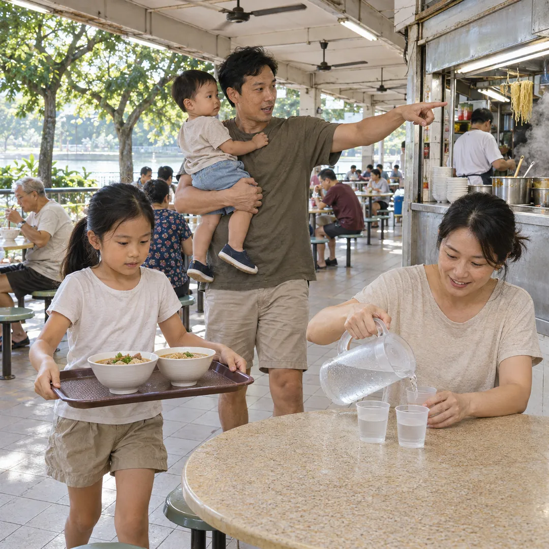 River Valley Food Market Grazing Route With Young Kids
 Serangoon Food Market Grazing Route for a Homecoming Weekend