 Marina Bay Food Market Grazing Route After a Conference Day
Neighborhood Guides
Katong Neighborhood Walking Guide to the Lost Seafront
Walk Katong along its vanished shoreline, from old seaside villas and a buried fort to Eurasian and Tamil landmarks, ending at the beach on reclaimed land.
This Katong neighborhood walking guide follows a coastline you can no longer see. Not so long ago, the sea came right up to the edge of Katong, and wealthy families built breezy villas facing the water. Then land reclamation pushed the shore far to the south, leaving the old seaside district inland. On this walk you trace that lost edge, meet the communities who settled here and finish on today's beach. It takes about two hours at an easy pace and works well in the late afternoon.
Picture Katong as a Seaside Retreat
Before you set off, imagine the district without the tall condominiums and wide roads. Katong was once a stretch of coconut plantations and sandy shore on the east coast, far from the crowded city. Rich merchants, Peranakan families and European residents came here for the sea breeze, building holiday homes and weekend retreats where children swam, families picnicked and fishermen pulled boats onto the sand.
As you walk, keep one question in mind: where was the water? Many street names, old houses and park edges still answer it if you look closely. This turns the walk into a gentle treasure hunt. Rather than ticking off sights, you are reading the land itself and spotting the clues that the sea left behind when it moved away.
Start on the Old Shore Road
Begin along Marine Parade Road. The name is the first clue. This road once ran beside the beach, and old photographs show waves breaking close to the houses. Today, rows of housing blocks and condominiums stand where the sand used to be, but the gentle curve of the road still follows the line of the former coast.
Walk slowly and notice how the ground feels. The land to the south is noticeably flat and newer, while the older streets to the north have taller trees and a more settled feel. Pause at a crossing and look south between the buildings. Somewhere out there, beyond the expressway and the park, the real sea now waits for the end of your walk.
Look for the Seaside Villas of Amber Road
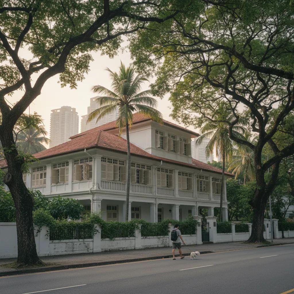
Head into the quieter roads around Amber Road and Meyer Road. Here you can still find a few grand old bungalows with deep verandas, tall windows and roofs designed to catch the breeze. Many were built as seaside homes for wealthy families, set back in large gardens with lawns running down toward the shore that once lay just beyond them.
Most of these houses are private, so enjoy them from the pavement and avoid lingering at gates. Notice how they face south, toward the old sea view, rather than toward the street. That simple detail tells you more about Katong's past than any plaque. Count how many older homes you can spot between the newer towers, and imagine the scene when every garden ended at the beach.
Find the Fort Hidden Under Katong Park
Continue to Katong Park, a small green space that holds one of the district's strangest stories. Beneath the grass lie the remains of an old coastal fort, built to guard the eastern approach to the harbour. It was later abandoned and buried, and many people forgot it was there until volunteers began digging and uncovered parts of its walls.
Walk around the park and look for low walls, mounds and traces of the old structure. It is not dramatic, but that is part of the charm. Here was a fort facing the sea, now sitting quietly inland among playgrounds and joggers. Sit for a few minutes under the trees and let the idea sink in that this was once the very edge of the island.
Meet the Eurasian Community
From the park, head north toward Ceylon Road and East Coast Road. Katong has long been a home for Singapore's Eurasian community, families with mixed European and Asian roots. Their heritage centre near Ceylon Road tells stories of their food, music, faith and family life. A visit gives you useful context for the churches, bakeries and family recipes you will meet along the way.
Walk along East Coast Road and look for the Catholic church that has served many Eurasian families for generations. Notice the mix of people coming and going, and the way church life still shapes the rhythm of the neighbourhood on weekends. If you are curious about Eurasian food, look out for dishes such as devil's curry and sugee cake, both closely linked with family celebrations.
Visit the Tamil Temple on Ceylon Road
On Ceylon Road you will also find a striking Hindu temple with a tall, colourful gateway tower covered in carved figures. It was founded by Ceylon Tamils who settled in the area, and the road name itself recalls their homeland. The temple remains an active place of worship, with prayers, bells and offerings throughout the day.
If you wish to step inside, dress modestly, remove your shoes at the entrance and move quietly. Watch how worshippers circle the shrines and present flowers and fruit. Even from outside, the gateway is worth studying in detail. Try picking out different gods, animals and guardians, and notice how bright the colours look against the plain modern buildings nearby.
Walk East Coast Road and Its Shophouses
Return to East Coast Road and stroll past its rows of old shophouses. Many have ornate facades with plaster details, painted tiles and decorative windows, showing the Peranakan influence that is strong in this district. Look out for shops selling traditional kueh, beaded slippers and kebaya blouses, as well as newer cafes housed in restored buildings.
This is also laksa country. Katong gave its name to a famous version of the spicy coconut noodle soup, often eaten with just a spoon because the noodles are cut short. Treat it as a mid-walk snack rather than a full meal, and share a bowl if you plan to continue. Then follow the road back toward the south, ready for the final stretch to the sea.
Cross to Today's Beach
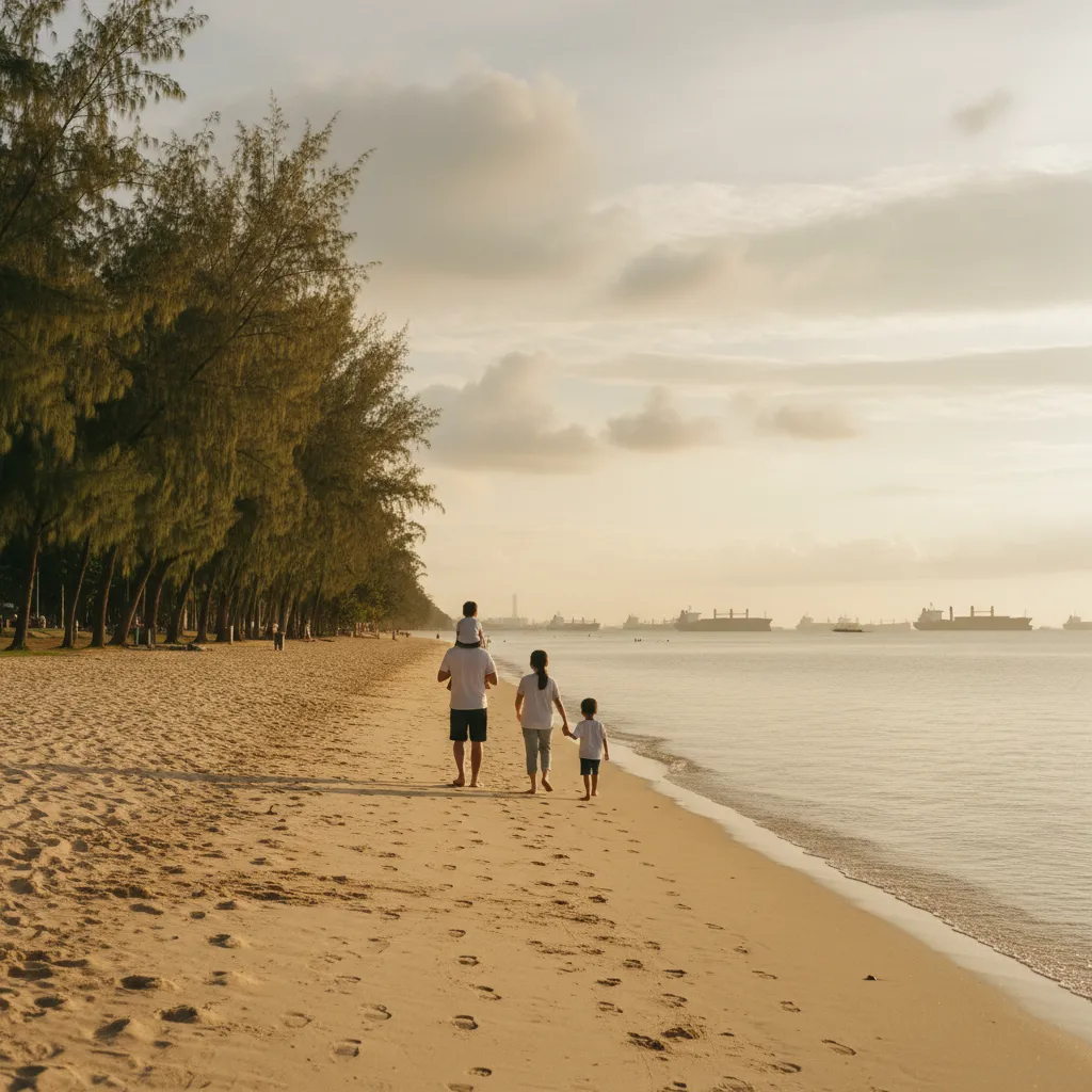
Finish by walking south through Marine Parade toward East Coast Park. The easiest route uses one of the underpasses beneath the expressway, which bring you out among casuarina trees, cycle paths and wide lawns. All of this land was created by reclamation, which is why it feels so open and flat compared with the older streets you have just left.
Walk to the water's edge and look back toward Katong. The distance between the old shore road and this new beach is the whole story of the walk. Watch the ships waiting at anchor far out at sea, a reminder that Singapore has always lived by the water. Stay for the sunset if you can, as the light over the sea is often beautiful in the early evening.
Practical Notes for Shoreline Hunters
Late afternoon is the most comfortable time for this walk, as the heat eases and you reach the beach in time for the golden light. Wear comfortable shoes and a hat, carry water and pack a small umbrella for sudden showers. The route is mostly flat, which makes it suitable for families and older walkers, and there are plenty of places to rest along the way.
Plan your return before you start. From East Coast Park, you can walk back through the underpasses to Marine Parade, where buses run toward the city, or continue along the park paths if you want a longer evening stroll. If you bring children, the park's playgrounds and open lawns make a perfect reward after a long walk.
Save Katong Food and Dessert Stops
Open the Karpo APP before your walk to browse laksa stalls, Peranakan kitchens, Eurasian bakeries and dessert counters around East Coast Road. Read what each place is like, decide whether you want a quick snack or a proper dinner and save a few ideas. When you come back from the beach hungry, you will already know where to go.
Ask Karpo for more information.
Keep reading
- Marina Bay Food Market Grazing Route After a Conference Day
 River Valley Food Market Grazing Route With Young Kids
 Serangoon Food Market Grazing Route for a Homecoming Weekend