 Chinatown New in Town Weekend Planner: Errands and Temples
Weekend Plans
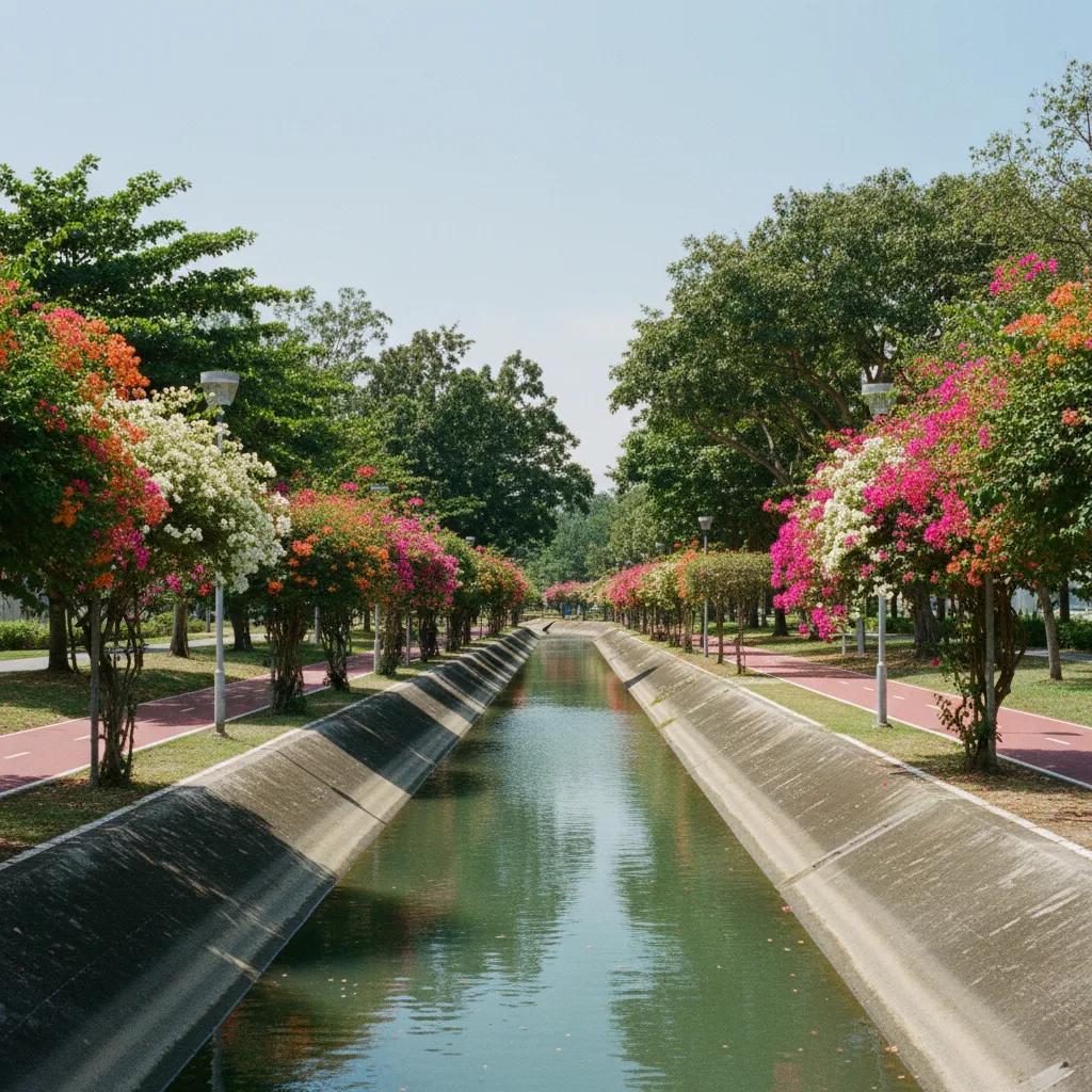
Siglap Historic Canal Towpath Walk? Walk Coast Drainage
Siglap Canal features breezy waterside paths along historic eastern drainage corridors connecting inland park connector trails directly to oceanfront parks.
The Siglap Historic Canal Towpath Walk? Walk Coast Drainage offers a fascinating journey through Singapore's engineering past and present. While Singapore's waterways were not designed for horse-drawn towpaths, but rather as colonial trade, timber, and arterial drainage canals, the modern Siglap Park Connector provides an excellent pedestrian promenade. This paved pathway allows walkers to directly explore the significant water engineering heritage of the Siglap Canal. It offers a unique perspective on how vital infrastructure was developed to manage storm runoff and address chronic flooding in the eastern suburbs, transforming former coastal coconut plantations into a meticulously managed urban landscape.
Siglap Canal's Vital Engineering Purpose
The Siglap Canal stands as a testament to mid-20th-century urban planning and hydrological engineering in Singapore. Excavated through the former coastal coconut plantations and village lands of the Siglap and Frankel estates, its primary purpose was unequivocally functional. This engineered waterway was conceived as a vital arterial drainage conduit, designed to efficiently divert storm runoff. It channeled water directly from the elevated Bedok reservoir plateau straight out to the Singapore Strait, thereby mitigating persistent flooding issues across the rapidly developing eastern suburbs.
Today, the Siglap Park Connector seamlessly integrates this crucial drainage infrastructure with public recreational spaces. The continuous walking trail along its concrete banks invites exploration of this impressive feat of civil engineering. The canal itself, with its robust concrete retaining walls and wide channel, clearly demonstrates the scale of the challenge it was designed to overcome. Walkers can observe the uniform gradient and straight course, hallmarks of an efficient water management system designed for maximum flow and flood prevention.
Beginning your walk, notice the transformation of the landscape from its historical agricultural roots to its current urban parkland. The trail is well-maintained and offers clear sightlines along the water's edge. Observing the canal's design provides insight into the practical needs of a tropical island nation dealing with monsoon rains. Pay attention to the subtle changes in vegetation and the careful integration of pedestrian amenities. This pathway allows for a relaxed and informative exploration of a significant urban waterway.
Bridges and Historical Crossroads
The Frankel Avenue bridges serve as prominent landmarks along the Siglap Canal, embodying the intersections of urban life and engineered infrastructure. These structures, spanning the substantial width of the canal, are not merely crossings but enduring symbols of connectivity. Their design, often robust and utilitarian, reflects the era of their construction and the heavy loads they were built to support. Examining their architectural details can reveal insights into mid-century engineering practices and materials used in Singapore.
The historical context of the Siglap and Frankel estates is intrinsically linked to the canal's development. Before the canal, these lands comprised a mosaic of plantations and small villages, susceptible to tidal influences and heavy rainfall. The canal's excavation profoundly reshaped the landscape, facilitating further urban development and providing essential flood protection. This transformation allowed the former rural character to evolve into the suburban environment we observe today, with the canal as its backbone.
As you traverse the linear park trails, the canal's journey towards the coast becomes more apparent. The path maintains a consistent level, making for an accessible walk and offering uninterrupted views of the water. Observe how the canal interacts with the surrounding residential areas, acting as both a natural divider and a unifying green corridor. The occasional sound of traffic from overhead bridges serves as a reminder of the urban fabric that the canal seamlessly passes through, often unnoticed by those rushing above.
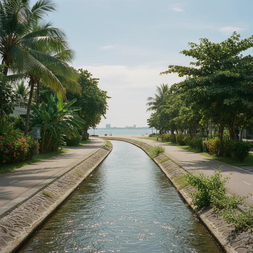
Coastal Outlet and Park Integration
The Siglap linear park trails provide a pleasant and continuous surface for walking, cycling, and recreation. The path is typically smooth asphalt or concrete, bordered by well-maintained greenery and mature trees that offer welcome shade. This linear green space acts as a vital recreational artery, connecting various residential enclaves to the larger East Coast Park. The planting strategy along the banks often incorporates a mix of native and ornamental species, enhancing the ecological value and aesthetic appeal of the canal environment.
The design of the Siglap Park Connector exemplifies modern urban planning's commitment to preserving and celebrating water heritage. By transforming a purely functional drainage canal into an accessible public amenity, Singapore showcases an intelligent approach to infrastructure. This integration allows residents and visitors alike to appreciate the engineering marvel while enjoying a tranquil walking experience. The canal's edges are carefully managed, demonstrating a balance between hard engineering and soft landscaping.
Choosing your route sections allows for varying lengths of exploration, whether a short stroll or a longer excursion to the coast. Photo viewpoints are plentiful, particularly where the canal widens or where bridges offer elevated perspectives. The coastal outlet footpaths mark the culmination of the canal's journey, where fresh water meets the Singapore Strait. This junction offers expansive views of the sea and the distant skyline, providing a dramatic end to the walk and a sense of accomplishment.
Pathways of History and Modernity
Historically, navigation along Singapore's canals was primarily for trade and resource transport, unlike the horse-drawn towpaths of European industrial canals. The Siglap Canal's design as an arterial drainage system precluded such navigation, focusing solely on water flow. However, the modern paved pedestrian promenades along its banks successfully reinterpret this heritage. They provide dedicated walking routes, allowing contemporary users to trace the path of this essential waterway on foot, experiencing its function and urban impact directly.
Key landmark structures along the canal include the various road bridges that cross its expanse, each a point of reference and an example of mid-century engineering. The expansive East Coast Park junction signifies the canal's terminus and its connection to a much larger coastal recreational zone. These features anchor the walk, providing clear navigation points and opportunities to pause and observe the interplay between urban development, natural forces, and engineered solutions. The continuous path guides walkers efficiently.
The editorial illustrations accompanying this article are AI-generated, offering visual interpretations of the canal's past and present. They depict the historical landscape of coconut plantations giving way to engineered concrete channels and modern park connectors. These illustrations aim to complement the textual descriptions, providing a visual narrative of the canal's transformation and its enduring role in Singapore's infrastructure. They help visualize the journey from agricultural land to vital urban artery, enhancing the historical context for the reader.
Practical Notes: Plan Your Route Along the Water
The Siglap Canal walk is an urban experience, best enjoyed during cooler parts of the day, such as early mornings or late afternoons. The path is well-lit for evening walks, but always exercise caution and maintain awareness of your surroundings. Public path etiquette requires keeping left, giving way to faster users, and being mindful of cyclists. There are no commercial shops directly along the canal banks; therefore, carry adequate water and any necessary provisions. Access points are numerous, primarily from feeder roads crossing the canal or via connections from residential areas. Public transport links are available at various points along the Siglap Park Connector, offering flexibility for starting or ending your walk. Rest areas with benches are periodically available. In the Karpo APP, ask for a waterside walking route in Singapore focusing on Siglap Canal history and your preferred walking distance. Strolling along this eastern conduit toward the shoreline illustrates how mid-century coastal engineering permanently protected residential districts from monsoon surges.
Ask Karpo for more information.
Keep reading
- Chinatown New in Town Weekend Planner: Errands and Temples
 Kampong Glam New in Town Weekend Planner: Mosque to Murtabak
 Holland Village New in Town Weekend Planner: Meet People