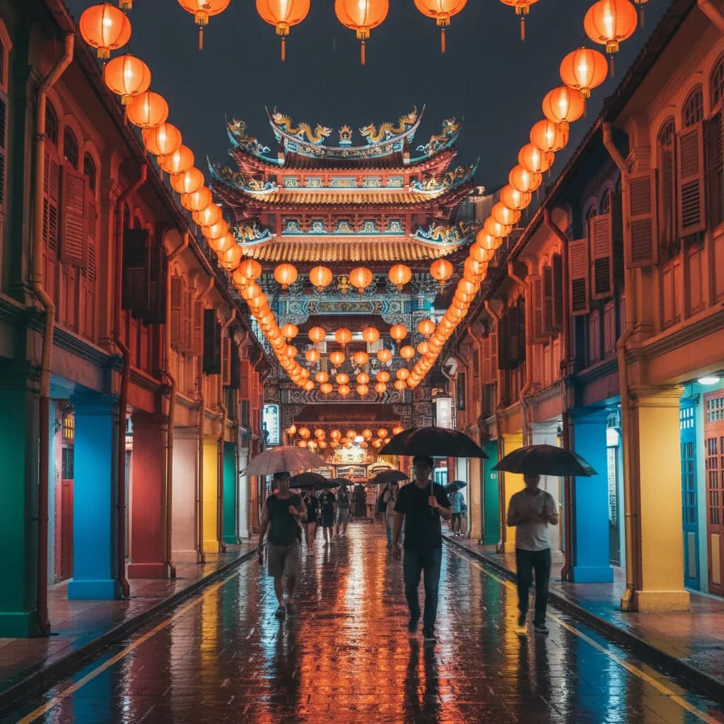
 Chinatown New in Town Weekend Planner: Errands and Temples
Weekend Plans
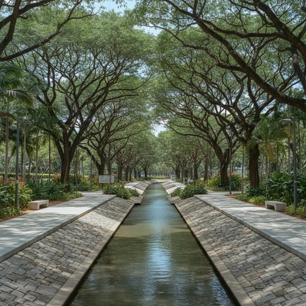
Alexandra Historic Canal Towpath Walk: River Route Guide
Alexandra Canal provides a quiet waterside promenade connecting upper Singapore River heritage with modern park paths and quiet residential neighborhoods.
The Alexandra Historic Canal Towpath Walk offers a unique exploration of Singapore's urban waterways, tracing the upper freshwater extension of the Singapore River. While historically Singapore's waterways, including the Alexandra Canal, served as vital arteries for colonial trade, timber transport, and arterial drainage rather than horse-drawn towpaths, modern paved pedestrian promenades now provide extensive access. These continuous walking corridors, part of the Alexandra Canal Linear Park, allow contemporary walkers to delve into the significant water engineering heritage of this critical urban infrastructure. This route guides you through a landscape transformed by over a century of development, offering insights into its historical role and present-day significance. Walkers can experience the canal's evolution from a functional drainage channel to a linear green space.
Kim Seng Bridge: Historical River Gateway
The journey begins near Kim Seng Bridge, a historical boundary marking the transition from the tidal Singapore River to the freshwater Alexandra Canal. Built in 1890, this bridge was a critical nexus where traditional bumboats, poled upriver, would offload goods at godowns nearby. This confluence of river and canal was a vibrant hub of commercial activity, reflecting Singapore's role as a major trading port. The architecture of the bridge, though modified over time, still hints at its late-19th-century origins and its enduring importance to riverine commerce. Observing the water flow here provides a sense of the historical connection between upstream and downstream navigation.
Today, the area around Kim Seng Bridge presents a seamless transition from urban bustle to a tranquil waterside promenade. The canal's initial stretch is wide and well-defined, bordered by mature trees and carefully maintained landscaping. This design facilitates pleasant walking and provides a green buffer against the surrounding cityscape. The water's surface often reflects the modern high-rise buildings, creating a striking contrast with its historical function. Pedestrian paths are clearly delineated, inviting walkers to begin their journey along the engineered waterway. The continuous promenade ensures an uninterrupted and enjoyable walking experience.
As you commence your walk from Kim Seng Bridge, note the distinct changes in the urban fabric along the canal banks. The paths are uniformly paved, offering a smooth surface for walkers and joggers alike. Observe the gentle current of the canal, a testament to the efficient drainage engineering. Keep an eye out for diverse birdlife that frequents the canal, especially in the quieter morning hours. The initial views encompass a blend of residential buildings and green spaces, illustrating Singapore's commitment to integrating nature into its urban environment. This segment sets the tone for a journey through both history and modern urban planning.
Delta Sports Complex: Recreational Waterside Hub
Further along the canal, the promenade seamlessly connects with the Delta Sports Complex, an impressive example of integrated urban planning. This section showcases modern engineering solutions applied to an urban waterway, ensuring both efficient drainage and recreational opportunities. The canal here is wider and more contained, flanked by robust concrete walls designed to manage high water volumes during monsoon seasons. The precise construction highlights the ongoing efforts to mitigate flooding, a persistent challenge in Singapore's tropical climate. This segment exemplifies how critical infrastructure can simultaneously serve civic and recreational functions.
Historically, this area would have been subject to significant monsoon flooding, impacting the low-lying Tanglin and Alexandra districts. The extensive engineering work undertaken throughout the 20th century transformed the canal into a highly effective drainage system. This transformation involved widening, deepening, and lining the canal, a monumental undertaking that protected countless homes and businesses. The promenade adjacent to the Delta Sports Complex provides an excellent vantage point to appreciate the scale of these hydrological interventions. It is a testament to Singapore’s long-term commitment to water management and urban resilience.
Walking along the Delta Sports Complex promenade, you will find ample space for a relaxed stroll, with clear views of the canal and the adjacent recreational facilities. The path is typically busy with local residents engaging in various activities, from brisk walking to cycling. The calm waters of the canal, occasionally disturbed by aquatic birds, create a serene atmosphere. Pay attention to the consistent design of the canal banks, which incorporate native plant species to enhance biodiversity and aesthetic appeal. This stretch offers a clear perspective on the successful integration of green infrastructure into a high-density urban setting.
Prince Charles Crescent: Serene Residential Corridor
The section along Prince Charles Crescent offers a more intimate canal experience, characterized by quieter footpaths and lush greenery. The path surfaces remain consistent, providing an accessible and comfortable walking environment. Mature trees line the banks, offering welcome shade and enhancing the canal's visual appeal. The surrounding residential areas contribute to a peaceful atmosphere, making this a pleasant segment for contemplation and leisurely walks. The integration of the canal with housing developments highlights Singapore's strategy of creating livable urban spaces with direct access to green and blue networks.
Modern urban design along Alexandra Canal actively preserves its water engineering heritage while transforming it into a contemporary linear park. The canal’s concrete structure, while functional, is softened by thoughtful landscaping and planting. This approach ensures that the canal remains an efficient drainage channel but also functions as a valuable community asset. The careful balance between engineering necessity and aesthetic enhancement is evident throughout this stretch. It demonstrates a forward-thinking approach to urban planning that values both utility and environmental quality.
When choosing your route section, the Prince Charles Crescent area is ideal for those seeking a tranquil walking experience away from more bustling zones. The views here often include well-maintained gardens and glimpses of innovative residential architecture. For excellent photo opportunities, capture the interplay of light and shadow through the tree canopy reflecting on the canal surface. Consider pausing at one of the strategically placed benches to observe the slow flow of the water and the surrounding flora and fauna. This section provides a restful interlude on your journey.
Zion Road Connection: Canal's Upper Reach
The Zion Road connection marks a significant point along the Alexandra Canal, signifying the upper reaches of this engineered waterway. While historically bumboats navigated as far as Kim Seng Bridge, the canal's function beyond this point was primarily drainage. Today, continuous pedestrian paths allow walkers to trace this vital water engineering heritage, offering a clear view of its evolution from a functional canal to a linear park. The unbroken promenade ensures direct access to the water's edge, a stark contrast to the previous era when access was limited and purely utilitarian.
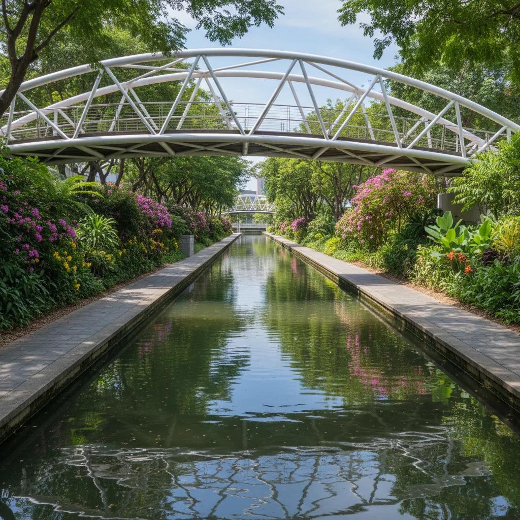
Along this stretch, the canal is often narrower, reflecting its role as an arterial drainage extension into the Tanglin and Alexandra areas. Key landmark structures include various modern footbridges designed to facilitate seamless pedestrian movement across the canal, connecting different neighborhoods. These bridges, while functional, often incorporate contemporary architectural elements, adding to the visual interest of the walk. They stand as symbols of modern connectivity and urban planning, linking communities on either side of the waterway. Each bridge offers a new perspective on the canal's trajectory and its surroundings.
Editorial illustrations accompanying this article aim to provide visual context and enhance the understanding of the canal's historical and contemporary significance. These AI-generated images offer glimpses into the past, depicting bumboats near Kim Seng Bridge, and showcase the modern linear park's vibrant atmosphere. They highlight the striking contrast between the historical industrial functionality and the present-day recreational and ecological value of the Alexandra Canal. These visuals are crafted to complement the descriptive text, offering a comprehensive and engaging narrative of this unique urban waterway.
Practical Notes: Plan Your Route Along the Water
The Alexandra Canal Linear Park provides a continuous, well-maintained walking corridor, ideal for various fitness levels. Path surfaces are predominantly paved, suitable for walking, jogging, and cycling. Public path etiquette dictates keeping to the left and being mindful of other users. Hydration is key, especially during Singapore’s tropical climate, so carry sufficient water. The route is accessible via multiple entry points, allowing for shorter or longer walks depending on your preference. Public transportation links are excellent, with various bus stops and MRT stations conveniently located near different sections of the canal. There are no commercial shops directly along the canal banks, so plan accordingly for any refreshments or facilities. Public restrooms are available at various points, including near the Delta Sports Complex. The park is well-lit, making evening strolls pleasant, but always prioritize safety and awareness of your surroundings. In the Karpo APP, ask for a waterside walking route in Singapore focusing on Alexandra Canal history and your preferred walking distance. Walking between Kim Seng Bridge and the lower river lets you observe the historical transition from commercial lighters to modern flood diversion infrastructure.
Ask Karpo for more information.
Keep reading
- Chinatown New in Town Weekend Planner: Errands and Temples
 Kampong Glam New in Town Weekend Planner: Mosque to Murtabak
 Holland Village New in Town Weekend Planner: Meet People