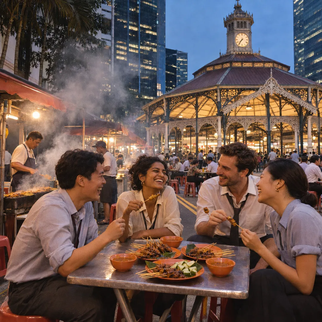
 Marina Bay Food Market Grazing Route After a Conference Day
Neighborhood Guides
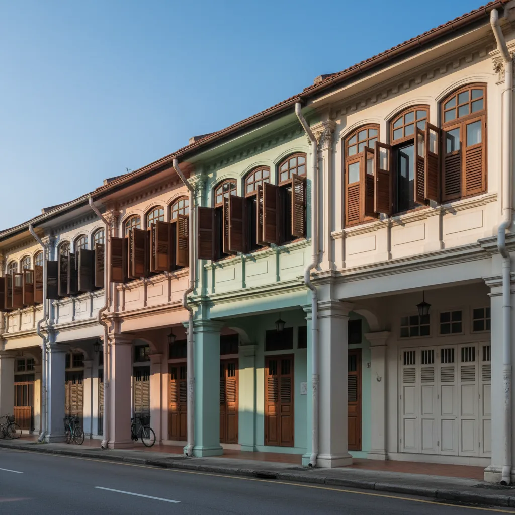
Telok Ayer Colonial Heritage Architecture Trail Route
Discover historic transitional shophouses, ornamental plasterwork, and coastal mercantile heritage along Telok Ayer Street with route maps on Karpo APP.
Emerging directly from Telok Ayer MRT station leads visitors straight onto what was once the primary maritime shoreline of nineteenth-century colonial Singapore. Before extensive land reclamation reshaped the waterfront in the 1880s, the waters of Telok Ayer Bay lapped directly against the doorsteps of the merchant warehouses, shipping offices, and immigrant worship halls that lined this coastal thoroughfare. Today, the conserved shophouse rows and sacred national monuments along Telok Ayer Street and Amoy Street preserve an extraordinary living archive of early Straits mercantile architecture, where British classical planning met Asian craftsmanship along continuous sheltered five-foot ways.
Sacred Monuments of the Historic Waterfront
Tracing the historic curve of Telok Ayer Street reveals how diverse immigrant communities established permanent sacred landmarks facing the sea to give thanks for safe maritime passage. The centerpiece of this sacred precinct is Thian Hock Keng Temple, constructed between 1839 and 1842 by Chinese Hokkien merchants under the leadership of philanthropist Tan Tock Seng. Consecrated to Mazu, the protector of seafarers, this exquisite temple complex represents Southern Chinese temple architecture at its zenith, engineered entirely without iron nails using interlocking timber brackets, curved swallowtail roof ridges, and imported stone columns carved with coiled dragons.
Standing beside Nagore Dargah Indian Muslim Heritage Centre presents a fascinating study in architectural syncretism dating back to 1828. Built by Chulia merchants hailing from the Coromandel Coast of Southern India, the shrine facade fuses classical European elements with traditional Islamic motifs. Fluted neoclassical Doric pilasters and rusticated lower arcades frame two towering corner minarets crowned with decorative onion domes, reflecting how immigrant master builders borrowed British civic motifs to embellish their own sacred community institutions.
Further along the street stands Al-Abrar Mosque, completed between 1850 and 1855 by the same Chulia Muslim merchant network. Designated a National Monument in 1974, the mosque presents a clean, dignified street frontage marked by two octagonal minarets topped with miniature domes and crescent finials. Slender French-style louvred windows and classical parapet balustrades provide natural daylight and ventilation into the prayer hall, demonstrating the practical architectural adaptations developed for equatorial urban living.
Conserved Shophouse Corridors and Clan Halls
Moving deeper into the conservation corridor highlights the remarkable stylistic evolution of the Singapore shophouse across successive decades of colonial development. The early transitional shophouses built in the mid-nineteenth century feature modest two-storey elevations, simple plastered timber lintels, and restrained Tuscan pilasters. As trading fortunes expanded toward the turn of the twentieth century, late-style shophouses introduced elaborate ornamental plaster reliefs, imported majolica tiles depicting auspicious flora, and ornate wrought-iron balcony railings inspired by Victorian catalogs.
Examining the distinctive shophouse architecture along the covered pedestrian arcades reveals the ingenious function of the five-foot way mandated by Stamford Raffles' town planning ordinances of 1822. These continuous covered walkways shielded pedestrians from equatorial rainfall and intense tropical heat while creating a vibrant zone of commercial exchange between private merchant quarters and public streets. Timber louvred shutters across upper-floor windows could be adjusted to catch afternoon sea breezes, maintaining comfortable indoor temperatures long before modern electrical air-conditioning.
Venturing along neighboring Amoy Street brings you before Ying Fo Fui Kun, the earliest Hakka clan association hall established in Singapore in 1882. This two-storey courtyard structure displays traditional southeastern Chinese lineage hall architecture, featuring stone-framed entrance portals, ancestral timber shrines, and an interior central lightwell designed to draw fresh breezes down into internal assembly halls. Surrounded by restored merchant shophouses that now house creative design agencies and independent dining rooms, the clan hall anchors the historical continuum of the neighborhood.
Victorian Cast-Iron Architecture at Lau Pa Sat
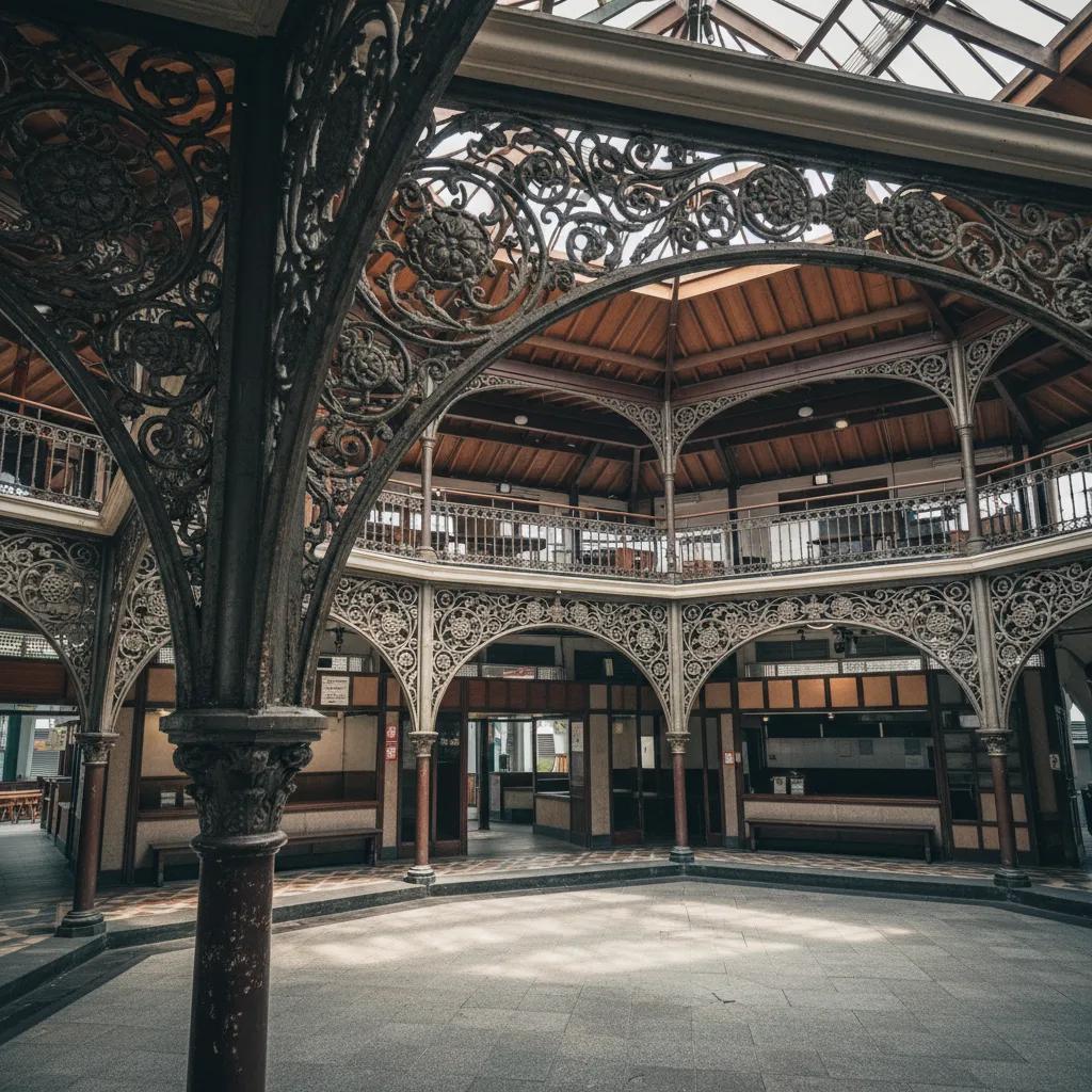
Heading eastward toward the modern financial district brings into view the grand Victorian silhouette of Lau Pa Sat, historically known as the Telok Ayer Market. Designed in 1894 by municipal engineer James MacRitchie to replace an earlier timber coastal fish market, this National Monument stands as Southeast Asia's grandest surviving Victorian cast-iron pavilion. The prefabricated iron framework was cast in Glasgow by P and W MacLellan and shipped across the oceans to be assembled into an imposing octagonal market hall centered around a graceful clock tower.
Inside the octagonal cast-iron hall, slender load-bearing columns branch upward into delicate openwork filigree spandrels that support the sweeping timber-lined roof. High clerestory vents beneath the central lantern allow rising warm air to escape naturally, creating a continuously ventilated public pavilion capable of accommodating thousands of diners throughout the day. Listening to the bronze bells chiming every quarter-hour from the restored clock tower connects contemporary visitors directly with the industrial craft traditions of the high Victorian era.
Returning toward the quieter street corners of Boon Tat Street reveals a harmonious relationship between the historic market pavilion and neighboring colonial shophouses. Many of these three-storey mercantile premises originally housed wholesale spice traders, ship chandlers, and maritime shipping brokers who conducted business within walking distance of the trading wharves. Today, the restored ornamental pediments and timber casements provide a visually rich pedestrian threshold framing the towering skyscrapers of Raffles Place and Shenton Way.
Walking Route Strategy and Practical Tips
Optimal timing for exploring Telok Ayer centers on the gentle morning period before midday when eastern sunlight illuminates the pastel shophouse facades. During this morning window, the street corridors remain peaceful before the bustling financial district lunch crowds arrive, allowing photography enthusiasts to capture detailed architectural elements without vehicular obstruction. Walking the route in reverse during late afternoon also offers dramatic warm illumination across upper-storey ceramic friezes.
Navigational ease defines this historic quarter thanks to compact pedestrian grids that encourage unhurried exploration. The continuous covered five-foot ways along Telok Ayer Street and Amoy Street offer dependable shelter should an afternoon tropical downpour occur, allowing walkers to progress smoothly from one landmark to the next without leaving covered sidewalks. Wearing lightweight walking footwear and breathable cotton clothing ensures sustained comfort across brick and granite pavements.
Public transportation connectivity around Telok Ayer is exceptionally convenient, with Telok Ayer MRT station on the Downtown Line offering direct access to the western end of the trail, while Tanjong Pagar MRT station on the East-West Line and Shenton Way MRT station on the Thomson-East Coast Line provide alternative transit portals. Multiple city bus routes stopping along Cecil Street and Cross Street make entering or concluding your walking route completely effortless from anywhere in the city.
Enhancing your architectural self-guided exploration is simple when leveraging curated digital urban walking resources. The Karpo APP provides comprehensive precinct maps, historical context summaries for individual conserved facades, and suggested pedestrian sequences that connect Telok Ayer with adjacent historic quarters. Walking through these conserved colonial-era streetscapes offers a compelling glimpse into the mercantile foundations that transformed a coastal trading post into a global metropolis.
Ask Karpo for more information.
Keep reading
- Marina Bay Food Market Grazing Route After a Conference Day
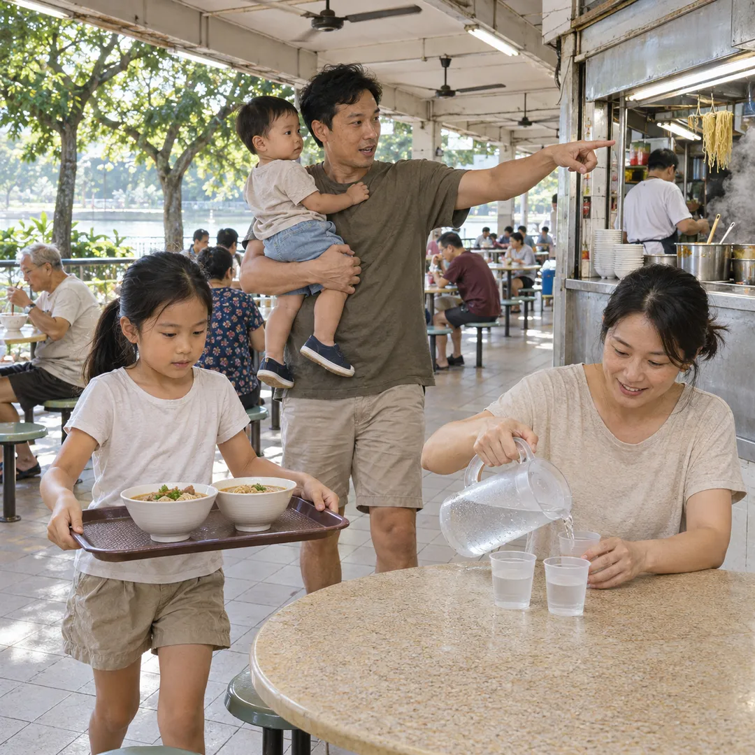 River Valley Food Market Grazing Route With Young Kids
 Serangoon Food Market Grazing Route for a Homecoming Weekend