 Twin Peaks Hilltop Staircase Walk Planner for City Lights
Free Things to Do
Scenic Viewpoint Near Me: Twin Peaks Viewpoint San Francisco Guide
A practical guide to Twin Peaks at 501 Twin Peaks Blvd, San Francisco, CA 94114, with the best angles, fog timing, Muni access, and a downhill neighborhood plan.
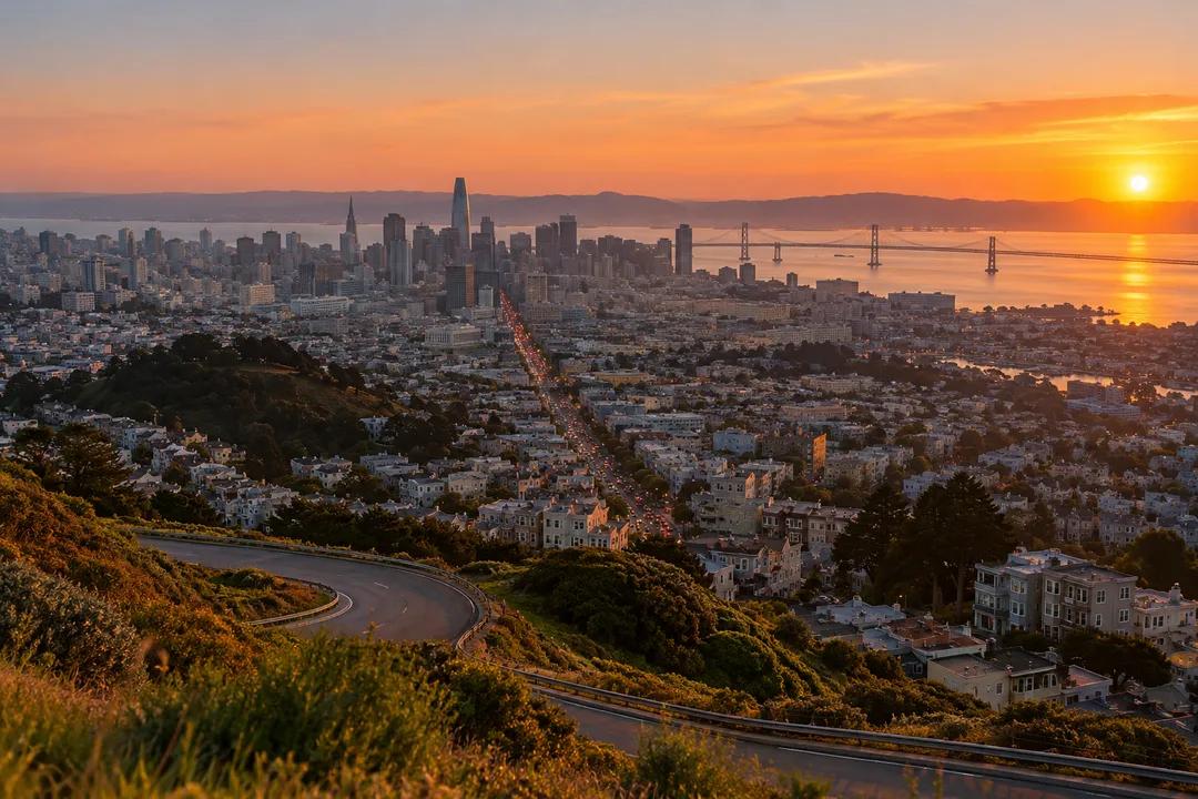
Twin Peaks Viewpoint is the scenic viewpoint near me for a full San Francisco sweep: downtown towers, the Bay Bridge, the Golden Gate, neighborhoods falling away in every direction, and weather that can change the mood in minutes. San Francisco Recreation and Parks lists the park at 501 Twin Peaks Blvd, San Francisco, CA 94114. This is a wind-exposed overlook rather than a polished attraction, so the right plan includes a warm layer, a little patience, and enough time to let the fog decide whether it is part of the view or the whole view.
The City Grid Makes the View Legible
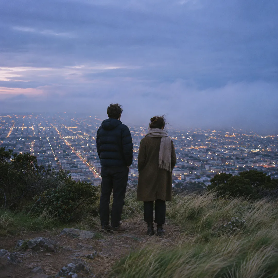
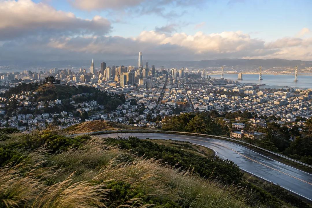
Twin Peaks is valuable because the city reads as a map from the summit. Streets form a grid below, downtown rises in a compact cluster, and the bridges give the horizon recognizable punctuation. On a clear day, the view stretches far beyond the immediate neighborhoods. On a hazy day, the closer streets and hills become the subject. Do not treat fog as an automatic failure; the clouds can turn the overlook into a moving study of visibility, with towers appearing and disappearing while the foreground stays sharp.
The wind is the practical fact that shapes every visit. A sunny afternoon can still feel cold at the top, and a sunset stop without a layer becomes uncomfortable quickly. Late afternoon gives the best balance between readable city detail and warmer light, while morning can be calmer and clearer. After rain, the air often feels unusually crisp, but the road and paths deserve more attention. Keep both hands free near the overlook and avoid standing in the most exposed spot longer than the photograph requires.
Getting up is simpler than it looks on a map. The 37 Corbett Muni bus stops on Crestline Drive near a footpath that climbs the hill, which saves a tight drive on the summit road. The road itself changed in 2016: the SFMTA turned the western side of the old figure-8 loop into a two-way road and gave the eastern side to people on foot and bikes, so walkers now have a car-free lane along the ridge. A rideshare also works, but plan the return before the temperature drops after sunset.
Wind, Fog, and the Best Time to Climb
Start on Twin Peaks Boulevard and use the summit as the anchor, then decide whether you want a short lookout or a longer neighborhood walk. The city blocks below are not interchangeable: a route toward Noe Valley feels residential, while a route toward the Mission leads to denser commercial streets and food options. The summit itself is compact, so a half-hour visit is possible, but the most satisfying outing gives you time to watch the light move across the city rather than taking one rushed panorama.
The hill carries a longer story than most city lookouts. Spanish arrivals called the pair Los Pechos de la Chola before the American-era name Twin Peaks stuck, and the two summits are known individually as Eureka (north) and Noe (south). Each tops out at just over 900 feet. Around them, the Twin Peaks Natural Area covers 31 acres owned and managed by San Francisco Recreation and Parks, which is why the slopes stay as coastal scrub and grassland instead of houses. Christmas Tree Point, about 70 feet below the north peak, is where most people stand for the bay view.
Photographers should work the foreground as deliberately as the distance. The native grasses, railings, road curve, and uneven slopes give the wide view scale. A phone panorama works, but a series of shorter frames often preserves more detail in the bridges and street grid. Do not block the narrow viewing edge while reviewing images. Visitors arrive for the same scene, and the open summit means a courteous rotation is easier than trying to own one exact angle.
A Practical Twin Peaks Arrival Plan
The easiest crowd strategy is to avoid the exact warm-weather sunset rush. Morning is quieter, weekday late afternoon is often manageable, and foggy evenings can be surprisingly calm. If the top is packed, move a few steps instead of waiting for the perfect person-free frame; the viewpoint changes subtly with every position. If visibility collapses, shift the outing to Noe Valley or the Mission and keep the summit as a short atmospheric stop rather than forcing a skyline that the weather has hidden.
Bring a layer that blocks wind, water, and a snack if you plan to stay. Services are more reliable in the neighborhoods below than at the summit, so do not assume the overlook will solve every need. The uneven paths and exposure make practical footwear more useful than a formal outfit. Families should keep children close near the edges and explain that the best view may require a short wait while fog shifts. The setting is open and public, but it still deserves careful attention.
Skip Twin Peaks if the group dislikes wind, hills, or weather uncertainty. Grandview Park offers a different, more coastal feeling, while Bernal Heights provides a warmer neighborhood-scale hilltop. Choose Twin Peaks when the priority is the biggest possible city diagram and when a little exposure is part of the experience. The summit does not promise comfort, but it delivers a view that makes San Francisco's geography unusually clear.
Pairing the Summit With Noe Valley and the Mission
A good day plan is a summit visit followed by a downhill neighborhood meal. Noe Valley is useful for a calmer residential extension; the Mission is better for a busier street life and more choices after dark. Leave the summit before everyone becomes cold, then let the lower streets supply the social part of the outing. That rhythm works better than packing the whole day with hilltop stops and discovering at sunset that the group wants warmth more than another photograph.
The people at Twin Peaks tend to divide into quick visitors, serious photographers, and locals who know the hill as part of a run or drive. Each group uses the same small space differently. Keep the photo stop short, do not leave bags in the car, and expect wind to change how long anyone wants to stay. The overlook is strongest when everyone treats it as shared public ground rather than a private studio with a view.
Twin Peaks answers scenic viewpoint near me with a distinctly San Francisco promise: a city-sized panorama, a real hill under your feet, and weather that participates in the scene. Go to the summit on Twin Peaks Boulevard, bring a layer, and judge the visit by what the atmosphere reveals. Even when the Golden Gate disappears, the street grid and nearby ridges can make the climb worthwhile.
Twin Peaks Viewpoint rewards a visitor who treats the viewpoint as a real place rather than a single camera coordinate. Start at Twin Peaks Boulevard, San Francisco, CA 94114, follow the terrain or shoreline at a comfortable pace, and allow the city to change as the light and weather move. The most memorable frame will come from the details that belong to this neighborhood, not from forcing it to imitate another San Francisco overlook.
Ask Karpo for more information.
Keep reading
- Twin Peaks Hilltop Staircase Walk Planner for City Lights
 Inner Sunset Hilltop Staircase Walk Planner for Trekkers
 Bernal Heights Hilltop Staircase Walk Planner With Kids