 Twin Peaks Hilltop Staircase Walk Planner for City Lights
Free Things to Do
Pacific Heights Scenic City Skyline Viewpoint Walks
Explore a Pacific Heights scenic city skyline viewpoint route from Lafayette Park to Alta Plaza terraces using Karpo APP to plan ridge stops.
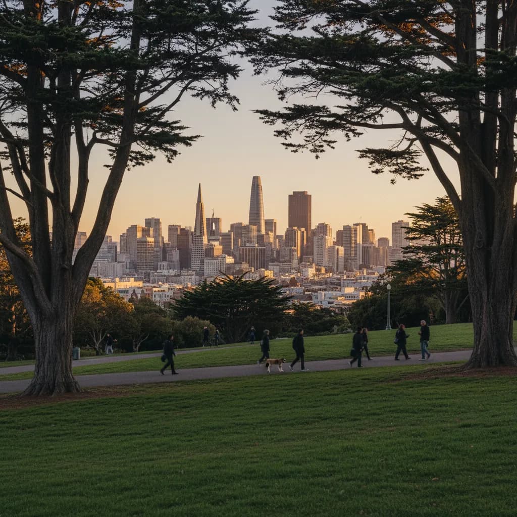
Cresting the upper gravel footpath of Lafayette Park above Gough Street and Washington Street, the steep eastern ridge of Pacific Heights drops away to reveal the glass towers of the Financial District, the silver cables of the Bay Bridge, and the blue water of San Francisco Bay in one elevated sweep. Selecting a scenic city skyline viewpoint in Pacific Heights takes advantage of the highest east-west sandstone ridge on the northern side of the city. Because two nineteen-century hilltop parks anchor the eastern and western ends of the neighborhood along Washington Street and Jackson Street, walkers can traverse a continuous high-elevation corridor without losing sight of the horizon. Organizing these park crests and cross-street intersections in the Karpo APP helps you connect eastern downtown vistas with southern and northern bay views in a single walk.
Lafayette Park Eastern Ridge And Financial District Sightlines
Set aside as a public square in 1864 between Washington Street, Sacramento Street, Gough Street, and Laguna Street, Lafayette Park covers eleven acres of steep hillside rising three hundred seventy feet above sea level. The eastern and southeastern paths near the Octavia Street alignment and the Spreckels Mansion edge offer an unobstructed balcony looking straight east toward the Downtown skyline. From the wooden benches beneath the towering Monterey pines and eucalyptus groves, Salesforce Tower and the 1972 Transamerica Pyramid stand framed above the red-brick mansions and Edwardian apartment buildings of lower Pacific Heights.
Walkers circling the southern lawn near Sacramento Street also gain a clear southward sightline down the Octavia Street corridor toward the gilded 1915 dome of City Hall and the distant hills of the Mission. Morning dog walkers, tennis players heading to the mid-hill courts, and watercolor painters resting on the stone benches create a calm residential atmosphere throughout the day. Saving the Washington Street and Laguna Street gate as your entry point in the Karpo APP lets you reach the summit crest without climbing the steepest southern stairways.
Alta Plaza Park Stepped Terraces And Southern City Panoramas
Six blocks west along Jackson Street or Washington Street past Fillmore Street, Alta Plaza Park occupies a twelve-acre hilltop bounded by Clay Street, Steiner Street, Jackson Street, and Scott Street. Purchased by the city for public use in 1868 and shaped into its signature Beaux-Arts stepped concrete terraces after 1909, the park rises in symmetrical tiers from Clay Street to a flat upper promenade. Standing at the top of the grand southern staircase gives you a dramatic axial view across the Western Addition, Alamo Square, and Twin Peaks, while turning east along the upper gravel terrace reveals the upper spires of the Financial District.
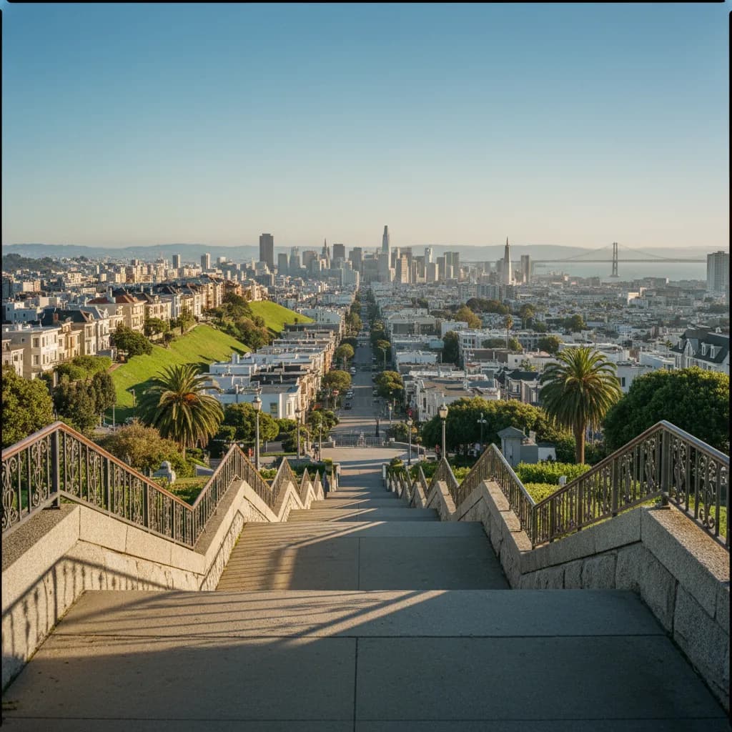
Because the terraced stone walls act as wide south-facing seating ledges, Alta Plaza stays noticeably warmer on breezy afternoons than the windward north slope facing the Golden Gate. Families with children, neighborhood runners climbing the terrace steps, and evening readers gather on the middle landings during the final hour before dusk. Keeping both Lafayette Park and Alta Plaza Park linked in your Karpo APP walking list lets you compare the dense grove framing of the eastern crest against the open geometric terraces of the western hill.
Fillmore Street And Divisadero Street Cross-Axis Vistas
Between the two hilltop parks, the north-south streets crossing Broadway, Vallejo Street, and Green Street plunge dramatically toward the Marina District on the north and the valley floor on the south. Pausing at the crest of Fillmore Street and Broadway or Webster Street and Vallejo Street opens a dizzying vertical sightline down the steep pavement grades straight into San Francisco Bay, Alcatraz Island, and the Marin Headlands. Sailboats tacking across the Golden Gate channel appear framed directly between classical stone balustrades and trimmed boxwood hedges along the upper sidewalks.
Continuing to the western boundary of Pacific Heights where Broadway meets Lyon Street at the top of the Lyon Street Steps, built beside the historic 1850s Presidio boundary wall, adds a monumental northern panorama over the 1915 Palace of Fine Arts rotunda and the Golden Gate channel. Meanwhile, looking back east along Broadway and Pacific Avenue between Scott Street and Fillmore Street frames the high-rise towers of Russian Hill and Nob Hill rising in the distance. Recording these cross-street intersections inside the Karpo APP ensures you pause at the exact ridge corners before descending.
Steep North-Slope Stairs To Skip In Wet Weather And Muni Backups
Skip descending the steepest northern blocks of Fillmore Street, Webster Street, or the lower flights of the Lyon Street Steps immediately after heavy rain or when carrying heavy camera bags, as the twenty-plus-percent sidewalk grades require careful footing. Stay on the level east-west spine of Washington Street, Jackson Street, or Pacific Avenue instead. You should also skip the exposed northern edge of Alta Plaza Park during late-afternoon summer fog surges when cold gusts funnel straight off the Golden Gate strait.
When marine wind or evening chill picks up along the ridge, walk to Sacramento Street or California Street for the frequent 1 California Muni trolleybus, or catch the 22 Fillmore and 24 Divisadero bus lines running north-south across the hilltop. The commercial blocks of Fillmore Street between Jackson Street and California Street feature historic Victorian and Edwardian storefronts where you can step out of the wind and review your saved transit connections in the Karpo APP before heading back downtown.
Connecting Lafayette Park To Alta Plaza Along The Ridge Spine
For a balanced ninety-minute skyline walk that avoids exhausting hill climbs, ride the 1 California Muni bus up to Gough Street or Octavia Street and walk two gentle blocks north to enter Lafayette Park two hours before sunset. Spend thirty minutes circling the eastern and southern paths while afternoon sunlight illuminates the Downtown San Francisco skyscrapers across the eastern basin.
Exit Lafayette Park at Washington Street and Laguna Street, then stroll west along the level mansion-lined sidewalks of Washington Street or Jackson Street across Fillmore Street to enter Alta Plaza Park. Claim a spot on the upper southern stone terraces forty minutes before sunset to watch golden hour bathe the southern city hills and the distant eastern towers. Having this east-to-west ridge walk saved in the Karpo APP lets you enjoy two of San Francisco's highest public viewpoints along an easy hilltop promenade.
Ask Karpo for more information.
Keep reading
- Twin Peaks Hilltop Staircase Walk Planner for City Lights
 Inner Sunset Hilltop Staircase Walk Planner for Trekkers
 Bernal Heights Hilltop Staircase Walk Planner With Kids