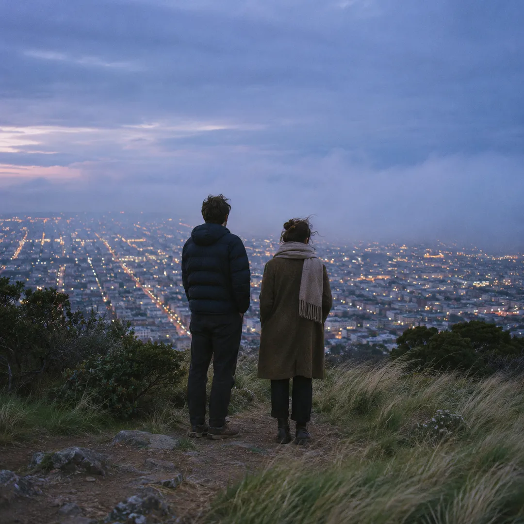
 Twin Peaks Hilltop Staircase Walk Planner for City Lights
Free Things to Do
Mission District Scenic City Skyline Viewpoint Guide
Walk a Mission District scenic city skyline viewpoint route from Dolores Park to Liberty Hill crests using Karpo APP to plan sunny hill stops.
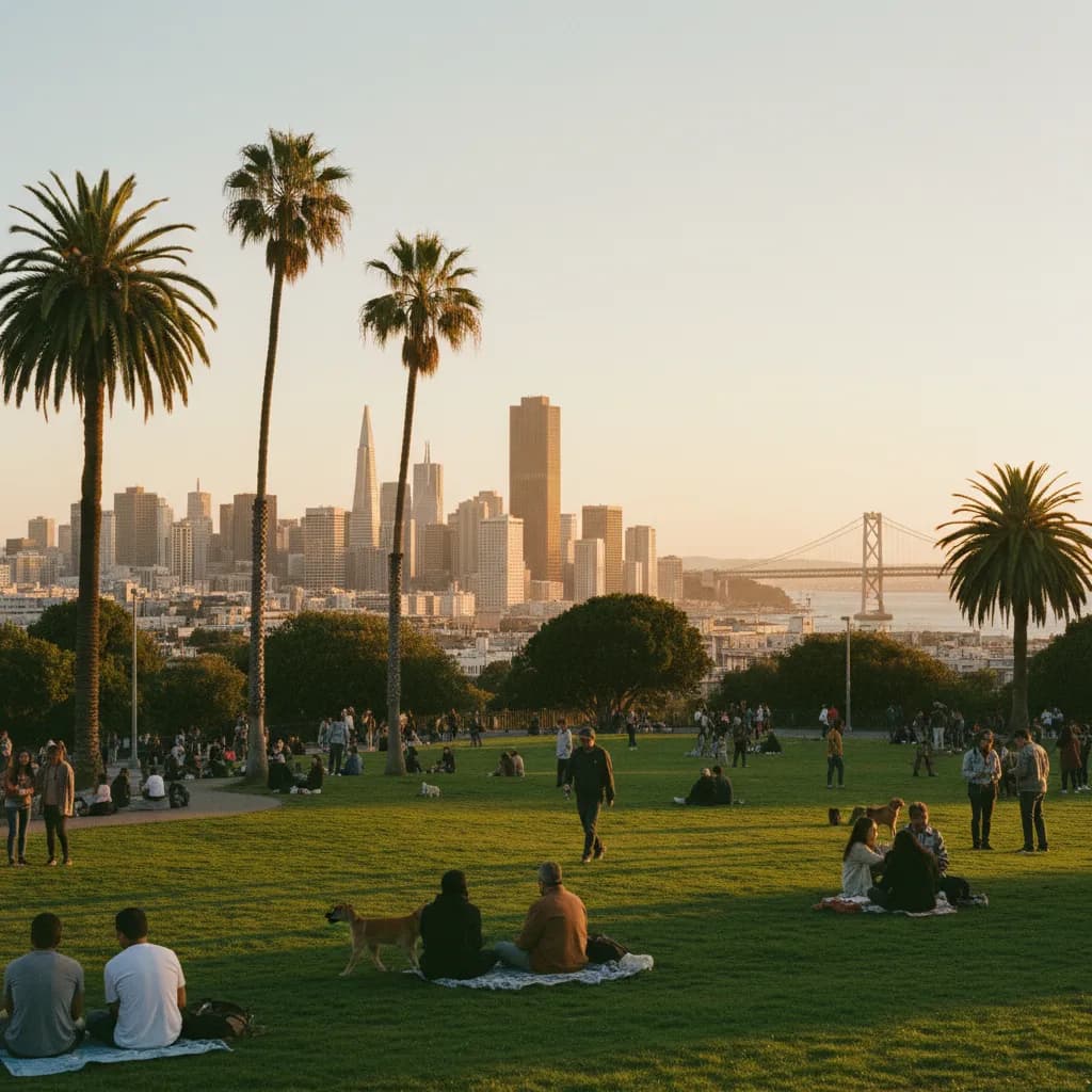
Sitting along the upper concrete ledge at the southwestern corner of Mission Dolores Park where Church Street meets Twentieth Street, Mexican fan palms frame a wide northeastern sweep of Downtown San Francisco, the western suspension span of the Bay Bridge, and the sunlit ridges of Oakland across the water. Choosing a scenic city skyline viewpoint in the Mission District takes advantage of the neighborhood's famous microclimate, as Twin Peaks to the west blocks cool Pacific marine fog and leaves the eastern slopes bathed in sunshine. From the grassy amphitheater of Dolores Park to the quiet Italianate blocks of Liberty Hill and the southern rise toward Bernal Heights, public hilltops surround the flat Valencia Street corridor. Saving your favorite hillside benches and streetcar stops in the Karpo APP lets you move seamlessly from flat mural blocks to elevated city panoramas.
Mission Dolores Park Southwestern Crest And Streetcar Overlook
Established as a sixteen-acre municipal park in 1905 between Eighteenth Street, Twentieth Street, Dolores Street, and Church Street, Mission Dolores Park slopes steadily upward from its flat northeastern tennis courts to a commanding southwestern ridge. The highest vantage point sits beside the pedestrian footbridge crossing the J-Church Muni light rail tracks at Twentieth Street and Church Street. From this upper walkway and the adjacent stone seating wall, your line of sight clears the palm canopy along Dolores Street and captures the full height of Salesforce Tower, the 1972 Transamerica Pyramid, and the silver towers of the 1936 San Francisco–Oakland Bay Bridge.
Every clear afternoon, acoustic musicians, neighborhood sketchers, and commuters stepping off the historic streetcar pause at the corner railing to watch golden sunlight reflect off the East Bay hills while Downtown shadows lengthen. Because the hillside drops steeply toward Eighteenth Street, even visitors sitting on the mid-slope turf enjoy an unobstructed horizon above the foreground park trees. Keeping this Church Street and Twentieth Street corner marked in the Karpo APP guarantees you head straight to the highest elevation of the park.
Liberty Hill Historic District And Twentieth Street Sightlines
Immediately south of Dolores Park between Twentieth Street and Twenty-Second Street, the western hillside rises into the Liberty Hill Historic District, officially designated by the city in 1985 to protect its concentration of nineteenth-century Italianate and Stick-style residences. Walking west up Liberty Street or Twenty-First Street from Dolores Street toward Sanchez Street and Noe Street lifts you onto quiet residential crests where ornate bay windows and false-front wooden cornices frame the northeastern financial core.

Unlike the lively weekend lawns of Dolores Park, the sidewalks along Twentieth Street and Twenty-First Street above Church Street remain peaceful throughout the week, with mature ginkgo and magnolia trees shading historic wooden stoops. Looking back east down the slope of Twentieth Street aligns your camera lens with the flat grid of the Mission Valley floor and the rising industrial and commercial skyline beyond. Using the Karpo APP to pair the lively Dolores Park lawn with a quiet loop up Liberty Street gives you two distinct atmospheres within five minutes of each other.
Southern Approach To Bernal Heights Park Above Folsom Street
Walkers who want an even higher perspective over the southern Mission can follow Folsom Street or Harrison Street south past Cesar Chavez Street to the northern trailhead of Bernal Heights Park. Rising more than four hundred feet above the surrounding grid, the open grassland summit and the car-free loop of Bernal Heights Boulevard offer a sweeping three-hundred-sixty-degree panorama that places the entire Mission District carpet of colorful roofs directly below the Downtown skyscrapers.
From the northern gravel path of Bernal Hill, you can trace the parallel north-south corridors of Mission Street, Valencia Street, and Guerrero Street stretching all the way to Market Street and San Francisco Bay. Hawk watchers and trail runners share the wide dirt path, which stays sunny even when wisps of coastal mist drift over Twin Peaks to the northwest. Adding this southern hill extension to your Karpo APP route notes is ideal when you have an extra forty-five minutes for a longer north-to-south neighborhood walk.
Crowded Weekend Turf Zones To Skip And BART Transit Backups
Skip the central and lower grass slopes of Mission Dolores Park on warm Saturday and Sunday afternoons between one and four o'clock if you want quiet space for photography or reflection, as thousands of weekend sunbathers pack the turf from Dolores Street up to the mid-hill palm walk. Stick to the paved upper perimeter sidewalk along Church Street and Twentieth Street or visit on weekday afternoons instead. You should also skip climbing the steepest unpaved dirt shortcuts on the northern face of Bernal Hill after winter rain when the clay soil turns slippery.
Whenever brisk evening breezes sweep down from Upper Market or rain clouds gather, walk down Eighteenth Street or Sixteenth Street to the Sixteenth Street Mission BART station, or board the J-Church Muni Metro train directly at the Twentieth Street and Church Street stop. Along Dolores Street at Sixteenth Street, the thick adobe walls and colonnade exterior of Mission San Francisco de Asis, founded in 1776 and completed in 1791, stand just blocks from the transit corridor. Storing these BART and Muni connections inside the Karpo APP makes wrapping up your hillside walk simple.
Sequencing A Sunny Afternoon Walk From Valencia Street To Church Street
An effortless two-hour Mission skyline walk begins at the Sixteenth Street Mission BART station in the mid-afternoon, heading west along Eighteenth Street past Valencia Street and Guerrero Street into the lower palm promenade of Mission Dolores Park. Pause along the Dolores Street median to admire the palm-framed view north toward Market Street before climbing the diagonal park footpaths toward the southwestern ridge.
Spend thirty minutes exploring the quiet Victorian blocks of Liberty Street and Twenty-First Street above Church Street while the afternoon sun sits high, then return to the Twentieth Street and Church Street streetcar overlook forty minutes before sunset. As the sun drops behind the western hills, the Downtown San Francisco towers and the East Bay ridgeline glow warm pink and gold across the bay. Checking your saved sequence in the Karpo APP lets you step straight onto a downtown-bound J-Church streetcar the moment twilight fades.
Ask Karpo for more information.
Keep reading
- Twin Peaks Hilltop Staircase Walk Planner for City Lights
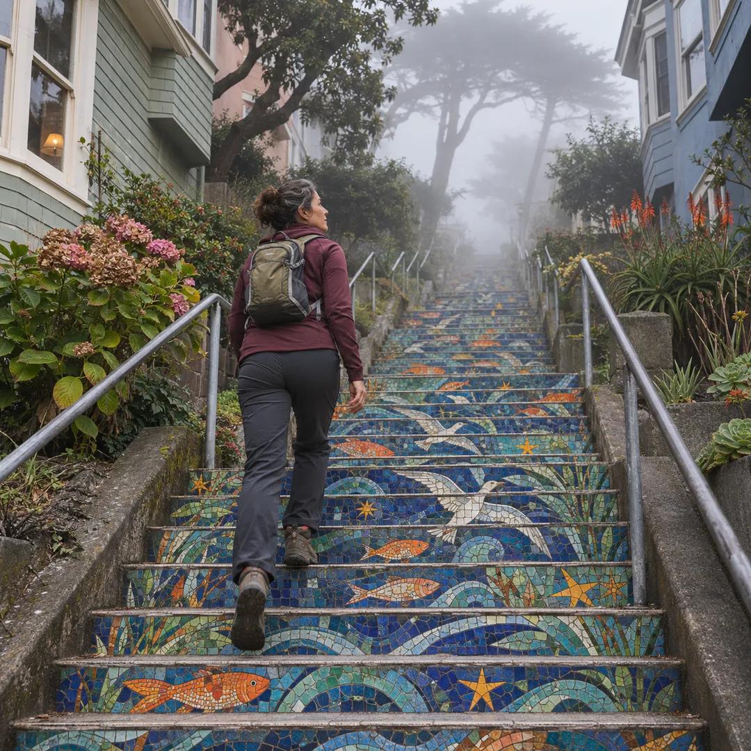 Inner Sunset Hilltop Staircase Walk Planner for Trekkers
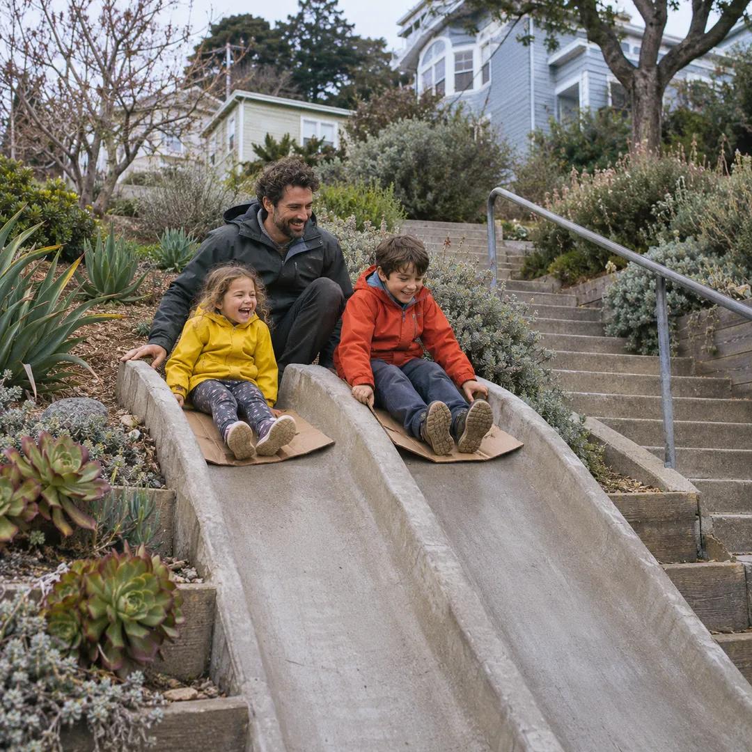 Bernal Heights Hilltop Staircase Walk Planner With Kids