 Twin Peaks Hilltop Staircase Walk Planner for City Lights
Free Things to Do
Marina Historic Quarry Nature Walk: 4 Free Coastal Stops
Explore historic quarry nature walk trails starting in the Marina District. Follow Presidio coastal bluffs and granite seawall paths in Karpo APP.
Boarding the 30 Stockton Muni bus route brings walkers directly to Chestnut Street in the Marina District, an airy bayside neighborhood where flat marina streets border the dramatic coastal parklands of the Golden Gate National Recreation Area. While visitors flock to the Marina for breezy yacht views and lively sidewalk cafes, an observant historic quarry nature walk westward leads directly into the historic Presidio, where natural serpentinite bluffs and nineteenth-century military stone quarries shaped the northern tip of the San Francisco Peninsula. Karpo APP provides an intuitive walking guide that connects neighborhood promenades with rugged coastal trails, creating a captivating outdoor excursion.
Trace Coastal Promenades Toward Fort Point Bluffs
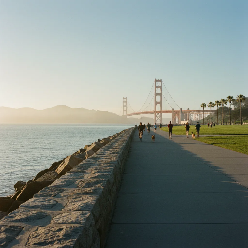
Begin walking north along Scott Street toward the Marina Green, a vast seaside lawn offering uninterrupted views across San Francisco Bay toward Alcatraz and the Marin Headlands. The waterfront edge here is defined by an extensive granite seawall and riprap embankment, engineered from quarried granite boulders and volcanic ballast stone to protect the filled shoreline against relentless tidal action. Strolling westward along the paved Golden Gate Promenade brings you toward the historic brick and stone domes of the Palace of Fine Arts, built for the 1915 Panama-Pacific International Exposition over ancient coastal wetlands.
Continuing west along the shoreline trail brings you across the boundary into the Presidio, a historic military post established by Spain in 1776 and later expanded by the United States Army. The hillsides rising above Crissy Field feature natural outcrops and historic excavation cuts of California's state rock, serpentinite. This glossy green and turquoise metamorphic rock was formed deep within ancient subduction zones under extreme heat and pressure, then thrust upward along active fault zones. In the nineteenth century, military engineers quarried local serpentinite and sandstone to construct foundations, retaining walls, and magazine vaults throughout the post.
Examine Historic Seawall Granite and Native Cliffs
Following the coastal trail westward toward Fort Point reveals increasingly rugged geological terrain. Towering sea cliffs of dark serpentinite and sandstone plunge directly into the turbulent waters of the Golden Gate strait, framing the colossal southern anchorage of the Golden Gate Bridge overhead. Benches positioned along the restored tidal marsh of Crissy Field and near the warming hut provide ideal perches to observe native coastal scrub, resting harbor seals, and diving pelicans against the dramatic backdrop of quarried coastal bluffs. The steady roar of ocean swells against the rock walls creates an invigorating soundtrack for your walk.
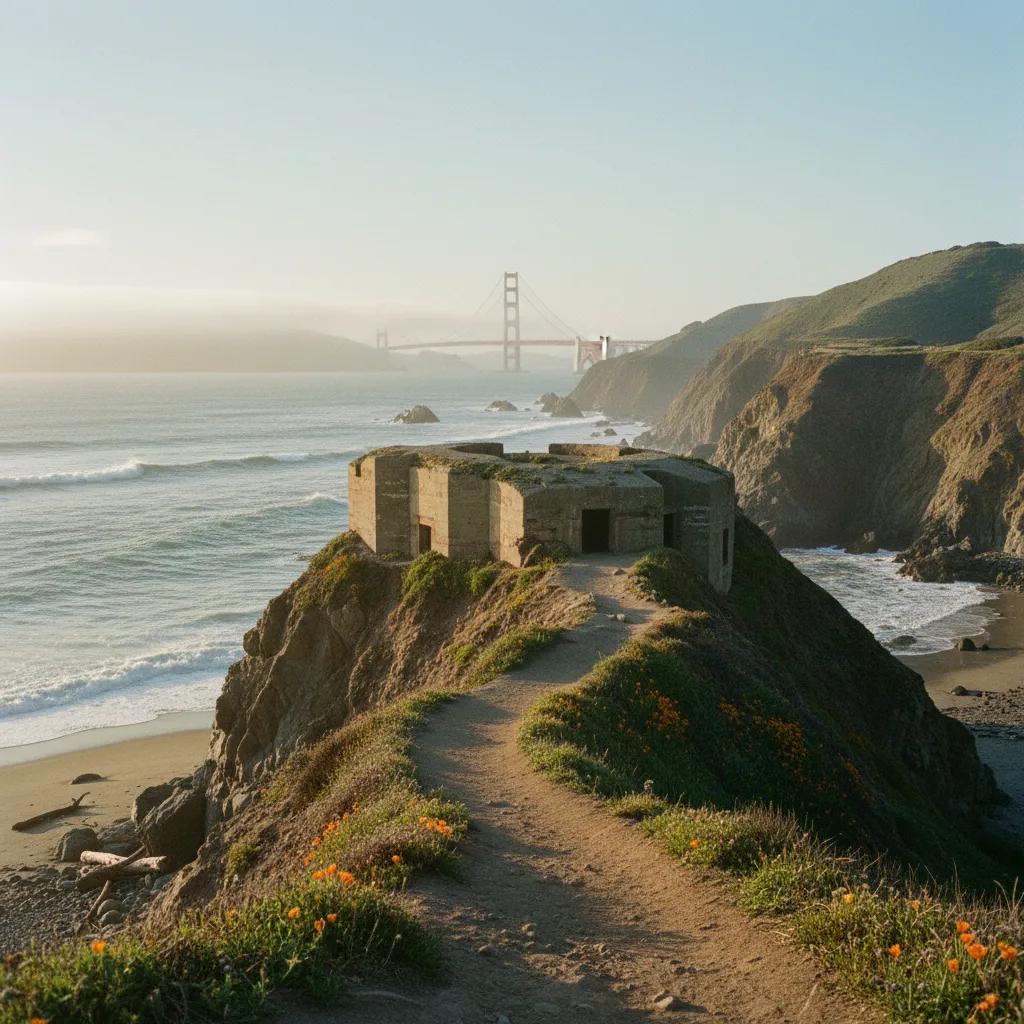
Ascending the Batteries to Bluffs trail along the coastal ridge above Fort Point offers a more strenuous climb into pristine coastal chaparral and exposed rock formations. The wooden boardwalks and stone steps here navigate sheer coastal headlands where native dune scrub and rare coastal wildflowers cling to thin serpentinite soil. The contrast between deep blue Pacific waters, red bridge towers, and gleaming greenish-black rock faces delivers one of the most stunning natural spectacles on the West Coast, rewarding walkers with unforgettable panoramas of the open ocean.
Monitor Coastal Breeze and Morning Marine Layers
Coastal morning hours coastal trek during morning hours between eight and eleven o'clock guarantees the best combination of clear light and comfortable conditions. Morning sun illuminates the eastern face of the Marin Headlands and burns off low marine mist, creating crisp visibility across the bay before afternoon westerly winds intensify through the Golden Gate. Early hours also offer quiet pathways with minimal bicycle and pedestrian traffic, allowing for unhurried photography and nature study.
Varying maritime winds exposure of the Golden Gate coast, proper clothing and footwear preparation is essential for a pleasant outing. Coastal winds can drop temperatures quickly, so carrying a windproof, water-resistant outer jacket over warm fleece layers is strongly advised. Footwear should feature durable rubber treads that grip confidently on damp boardwalks, packed gravel trails, and occasional stone steps. A lightweight daypack with water, sunscreen, and lip balm protects against reflective sea glare and salty coastal air.
Exercise Caution Along Rocky Oceanfront Edges
Visitor safety guidelines ecological responsibility is crucial when exploring coastal trails. Stay firmly on designated boardwalks and marked pedestrian paths, avoiding any attempt to climb onto wet riprap boulders or scramble down steep coastal sea bluffs where loose rock poses serious danger. Respect fenced restoration areas along the coastal bluffs, where fragile native plant communities stabilize steep dunes and provide shelter for migratory songbirds. Adhering to these simple rules keeps the coastal park pristine and safe for all.
Concluding your bayside coastal circuit, looping back into the Marina District along Chestnut Street or Lombard Street provides a satisfying conclusion to your walk. Bright neighborhood bakeries, juice bars, and outdoor cafe patios offer inviting spaces to sit down, recharge, and review your coastal photos and field notes. Combining rigorous waterfront hiking with vibrant neighborhood dining creates a wonderfully well-rounded San Francisco day. Having a dependable route map makes your return smooth and effortless.
Chart Waterfront Excursions With Karpo APP
Comprehensive trail navigation as a reliable digital companion throughout your Marina and Presidio exploration, offering seamless pedestrian routing that connects bus stops, coastal trailheads, and scenic viewpoints. The app clearly maps out elevation profiles, ADA-accessible paths, and public restroom locations throughout the Presidio. Rather than dealing with confusing paper trail maps, you enjoy confident, real-time guidance that adapts smoothly to your personal hiking pace.
Geological waypoint pins enables walkers to save custom pins on unique geological formations, historic military stone structures, and exceptional wildlife viewing perches along the coast. Sharing saved route notes with walking groups and friends fosters shared discovery of San Francisco's dramatic coastal environment. With Karpo APP handling navigation logistics, you can immerse yourself completely in the breathtaking grandeur of the Pacific coastline.
Coastal Gear and Walking Notes for Marina Trails
Helpful coastal advice pointers will help maximize your Marina coastal walking experience. The complete round-trip loop from Chestnut Street through Crissy Field to Fort Point and back spans approximately four miles, taking between two and two and a half hours at an easy walking pace. Public restrooms and hydration stations are available at Crissy Field Center, the Crissy Field Warming Hut, and Fort Point. Always stay alert to designated multi-use lanes along the promenade to ensure smooth coexistence with runners and cyclists.
Walking through Presidio stone and dramatic military bluffs of the Marina District and Presidio offers an extraordinary journey into California's natural and maritime history. From shiny green serpentinite outcrops to monumental granite seawalls protecting the bay, this walking route showcases the powerful meeting of ancient tectonic geology and coastal engineering. With mindful trail etiquette, appropriate outdoor gear, and the navigation assistance of Karpo APP, walkers of all skill levels can enjoy an unforgettable nature adventure along the Golden Gate shore.
Ask Karpo for more information.
Keep reading
- Twin Peaks Hilltop Staircase Walk Planner for City Lights
 Inner Sunset Hilltop Staircase Walk Planner for Trekkers
 Bernal Heights Hilltop Staircase Walk Planner With Kids