 Twin Peaks Hilltop Staircase Walk Planner for City Lights
Free Things to Do
Hayes Valley Historic Quarry Nature Walk: 4 Free Stops
Track historic quarry nature walk routes beginning in Hayes Valley. Connect Patricia's Green to Buena Vista Park rocky hill promontories in Karpo APP.
Departing from the Civic Center transit interchange allows walkers to stroll into Hayes Valley, a pedestrian-friendly neighborhood renowned for stylish boutiques, open-air art installations, and historic Victorian architecture. While visitors often gather around Patricia's Green, initiating a historic quarry nature walk westward leads directly toward the rugged hillside outcrops of Buena Vista Park and Corona Heights. These prominent geological prominences supplied sandstone and chert during early city construction, leaving behind dramatic vertical cuts and rocky trails that offer spectacular outdoor recreation. Karpo APP delivers an intuitive walking map that bridges neighborhood commerce with steep hillside nature trails, guiding outdoor lovers through an unforgettable urban adventure.
Journey West From Octavia Toward Hilltop Parks
Begin your walk along Octavia Boulevard, following the linear parkway of Patricia's Green where rotating public sculptures provide creative focal points. Continue westward along Hayes Street as the terrain climbs steadily past elegant Italianate and Queen Anne Victorian residences. Reaching Pierce Street brings you past Alamo Square, famous for its historic rowhouses and panoramic city views. Continuing southwest toward Haight Street leads to the northern boundary of Buena Vista Park, San Francisco's oldest official municipal park, established in 1867 atop an ancient bedrock knoll.
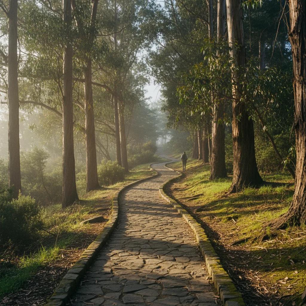
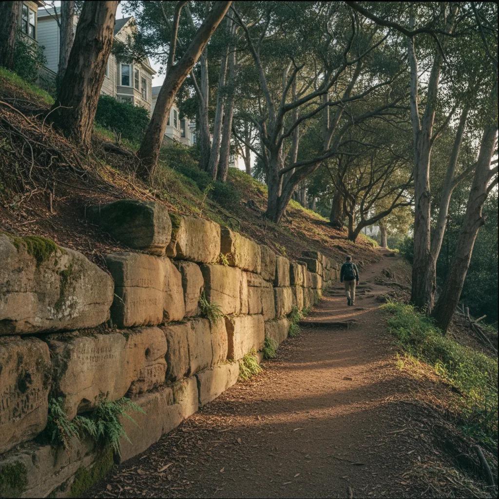
Entering Buena Vista Park through its historic stone-lined pathways introduces walkers to a forested urban sanctuary surrounded by towering eucalyptus, Monterey cypress, and coastal coast live oaks. The trails here wind along steep hillside slopes stabilized by historic stone retaining walls constructed from nineteenth-century quarried sandstone and recycled marble headstones relocated during early city cemetery removals. Ascending toward the summit brings you alongside natural outcroppings of Franciscan chert and graywacke sandstone, revealing the diverse rock types that form San Francisco's geological core. The sound of city traffic fades, replaced by the rustle of wind through dense tree canopies.
Inspect Buena Vista Sandstone and Red Chert Ridges
Reaching the upper trails of Buena Vista Park rewards hikers with sweeping vistas extending from downtown high-rises to the Golden Gate Bridge and Marin Headlands. Rock outcroppings near the summit display the distinct reddish-brown tones of bedded radiolarian chert, formed over millions of years beneath ocean trenches. Continuing south across Roosevelt Way leads toward Corona Heights Park, another prominent former quarry site whose striking red rock summit rises precipitously above the Castro and Mission valleys. The dramatic sheer rock wall on the east side of Corona Heights preserves the exact profile of historic stone extraction.
Following the winding trails of Corona Heights allows for intimate inspection of slickenside rock faces, where tectonic friction polished rock surfaces into mirror-like fault planes. This raw geological drama contrasts beautifully with the tranquil wildflower meadows that bloom across the hillside during spring and autumn. Benches along the trail provide quiet observation stations where hikers can enjoy uninterrupted views of the city while taking in the fresh Pacific breezes.
Take Advantage of Clear Daylight and Low Wind
Early daylight hours Valley and hill park excursion during morning hours between eight-thirty and eleven o'clock ensures the most pleasant trail conditions. Early sun lights up the eastern slopes of Buena Vista and Corona Heights, creating warm trail conditions before afternoon coastal fog begins its inland push. Morning hours also see peaceful park trails used primarily by local dog walkers and nature enthusiasts, giving you quiet space to study geological features and capture scenic landscape photos.
Steep hill stairways dirt paths and stone steps of Buena Vista and Corona Heights demands sensible footwear. Wear sturdy walking shoes or trail runners with rugged, grippy soles to prevent slipping on loose dirt or wet pine needles. Layering your clothing with a breathable base, light fleece, and windbreaker allows you to adapt easily as you climb uphill and encounter windy summits. A small daypack carrying water and trail snacks keeps you fueled and hydrated throughout the hike.
Stay on Established Park Trails and Stone Steps
Careful trail manners etiquette ensures the continued preservation of these delicate hillside habitats. Stay strictly on designated dirt paths and stone staircases, avoiding informal shortcuts that accelerate soil erosion down steep slopes. Respect native plant restorations and stay clear of steep cliff drop-offs around the former quarry face on Corona Heights. By respecting these natural sanctuaries, walkers help maintain safe and enjoyable trails for all park visitors.
Returning toward Octavia the hilltop trails, looping back into Hayes Valley along Hayes or Grove Street provides an enjoyable culinary conclusion to your walk. Independent coffee shops, artisanal bakeries, and outdoor cafe parklets offer inviting environments to unwind, enjoy a warm beverage, and review your trail discoveries. Combining rigorous natural hill climbs with sophisticated neighborhood leisure makes for a perfectly balanced San Francisco outing. Having a clear plan ensures an effortless transition between park and city.
Organize San Francisco Walks With Karpo APP
Topographic trail guidance as an invaluable guide for navigating San Francisco's complex topography, providing precise pedestrian routing that highlights hidden park staircases, scenic lookout knolls, and accessible transit connections. The app helps you easily link multiple green spaces without getting lost in maze-like hillside streets. Instead of checking clunky map apps, you have an intuitive digital companion that guides your steps with confidence.
Custom route bookmarks lets users bookmark notable rock formations, historic stone walls, and picturesque skyline viewpoints for future hikes. Sharing customized itineraries with fellow outdoor enthusiasts fosters shared exploration of San Francisco's unique urban wilderness. With Karpo APP managing route logistics, you can immerse yourself fully in the stunning natural scenery and rich geological history of the city.
Local Preparation for Hayes Valley Walkers
Practical planning notes pointers will help maximize your enjoyment of this Hayes Valley walking circuit. The complete route from Civic Center through Patricia's Green, Buena Vista Park, Corona Heights, and back spans approximately three miles, taking roughly two hours at a steady pace. Public restrooms are located within Buena Vista Park near the playground and at the Randall Museum adjacent to Corona Heights. Always watch your step when traversing uneven stone stairways, particularly under shaded tree canopies where moisture can linger.
Exploring ancient chert avenues of Hayes Valley with the rocky summits of Buena Vista and Corona Heights delivers an exhilarating perspective on San Francisco's living geology. From ancient marine chert beds to historic quarried retaining walls, this walking route illustrates the dramatic meeting of natural bedrock and human design. With proper hiking preparation, mindful trail care, and the navigation assistance of Karpo APP, walkers of all backgrounds can experience a truly rewarding outdoor nature journey.
Ask Karpo for more information.
Keep reading
- Twin Peaks Hilltop Staircase Walk Planner for City Lights
 Inner Sunset Hilltop Staircase Walk Planner for Trekkers
 Bernal Heights Hilltop Staircase Walk Planner With Kids