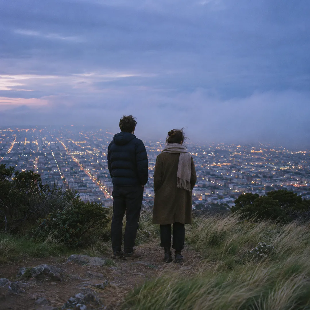
 Twin Peaks Hilltop Staircase Walk Planner for City Lights
Free Things to Do
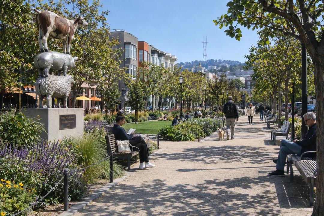
Hayes Valley Historic Civic Square Promenade Guide
Discover Hayes Valley historic civic spaces along an inspiring walking promenade linking Patricia's Green to scenic neighborhood parks and plazas.
Hayes Valley represents one of the most remarkable urban reclamation achievements in modern American city planning. This historic civic square promenade invites walkers to trace the transformation of a former elevated highway corridor into a vibrant sequence of tree-lined promenades, rotating public art plazas, and community gathering spaces. Starting at the beloved neighborhood common of Patricia's Green and extending along Octavia Boulevard, pedestrians experience how community vision restored natural light, civic connection, and lively pedestrian life to central San Francisco.
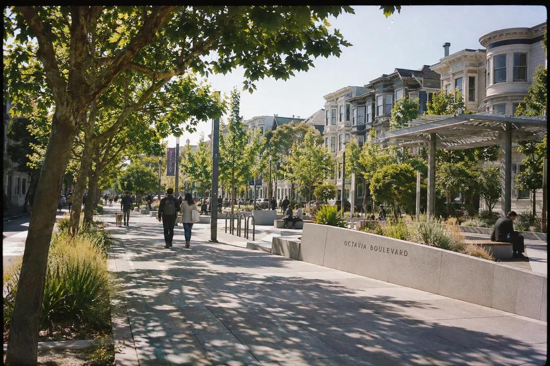
The Transformation of Patricia's Green
Named in honor of community leader Patricia Walkup, Patricia's Green was dedicated in 2005 following the demolition of the elevated Central Freeway damaged in the 1989 earthquake. This linear civic park stretches between Fell and Hayes Streets along Octavia Boulevard, replacing dark concrete highway ramps with lush lawns, granite benches, and native drought-tolerant landscaping. The park operates as the vibrant outdoor living room of Hayes Valley, where neighbors gather daily to drink coffee, read books, and converse under open skies.
At the center of the green stands a prominent outdoor exhibition space dedicated to large-scale temporary public sculptures, often sourced directly from the Burning Man arts foundation. These monumental creative installations rotate regularly, infusing the civic square with bold artistic experimentation and interactive wonder. Wide gravel and concrete walkways encircle the art platform, providing generous space for children to play and casual pedestrians to admire the works from multiple angles.
The park's perimeter is lined with mature deciduous trees that filter afternoon sunlight across wooden Adirondack chairs and polished stone picnic tables. The historic Victorian and Queen Anne townhouses bordering the square date back to the late 1800s, their decorative cornices and bay windows now fully visible after decades behind concrete highway walls. This dramatic contrast underscores the profound value of reclaiming urban space for public civic enjoyment.
Walking the Octavia Boulevard Greenway
Extending southward from Patricia's Green, Octavia Boulevard exemplifies visionary multi-way boulevard design, planned by landscape architect Allan Jacobs and opened in 2005. The boulevard separates through-traffic from slow-speed local access lanes using broad central medians planted with London plane trees, flowering perennials, and landscaped rain gardens. Wide brick-paved sidewalks guide walkers past contemporary housing developments that seamlessly integrate with historic nineteenth-century structures.
Strolling along the boulevard's western promenade offers a relaxed, unhurried walking rhythm, insulated from heavy vehicle noise by raised stone planters and continuous tree canopies. Benches placed at regular intervals offer welcoming spots to rest and observe neighborhood life. The clear linear geometry provides striking sightlines toward Market Street to the south and the dramatic dome of San Francisco City Hall to the northeast, highlighting the district's central civic role.
Pedestrian crossings feature bulb-outs and textured crosswalks that dramatically reduce crossing distances, ensuring safe and comfortable passage for walkers of all ages. Small landscaped pocket gardens maintained by local volunteer groups feature native California poppies and rosemary, filling the corridor with fresh herbal scents. The boulevard proves that modern transportation planning can prioritize human dignity, greenery, and pedestrian ease.
Connecting to Hayes Valley Playgrounds and Civic Centers
Turning east along Hayes Street leads walkers past historic community churches and public recreational facilities that have anchored neighborhood families for over a century. The historic Hayes Valley Playground at Hayes and Buchanan Streets features modern athletic courts, open play lawns, and sustainable community clubhouse architecture that received national design accolades. The open recreation fields provide vital outdoor activity space in the heart of the district.
Continuing toward Van Ness Avenue brings the promenade into the orbit of San Francisco's monumental Civic Center, designed in the majestic Beaux-Arts tradition following the 1906 disaster. Walking beneath the grand stone colonnades of the War Memorial Opera House (built 1932) and Davies Symphony Hall connects the intimate neighborhood scale of Hayes Valley with the monumental municipal heritage of the city. This architectural juxtaposition makes the walking route deeply rewarding.
The transition from relaxed neighborhood park benches to grand civic esplanades showcases the versatile urban fabric of San Francisco. Pedestrian plazas outside the performing arts halls feature broad stone terraces and historic bronze fixtures where concertgoers and neighborhood flâneurs mingle seamlessly. Taking time to linger across these diverse public spaces captures the true essence of city living.
Effortless Navigation With the Karpo APP
Planning your architectural walking tour through Hayes Valley is made wonderfully straightforward with the Karpo APP. Rather than getting bogged down by complicated navigation tools, Karpo helps you identify connected pedestrian greenways, locate sunny seating areas, and bookmark rotating public art sculptures throughout the neighborhood. The app delivers a clean, intuitive map of civic spaces, allowing you to adapt your walking pace to your personal schedule.
Whether you are planning an afternoon design walk, an outdoor reading session, or an evening stroll before a symphony performance, Karpo keeps your saved spots neatly organized. You can easily find accessible curb ramps, check walking distances between plazas, and coordinate meeting points near well-known art installations. The application's streamlined interface lets you immerse yourself in the creative atmosphere of Hayes Valley.
In Hayes Valley, the Karpo APP highlights pedestrian shortcuts between Octavia Boulevard and local play lawns so you can avoid busy Van Ness traffic. Customizing your walking map in Karpo ensures you always know when rotating outdoor art installations at Patricia's Green have been newly unveiled.
Practical Guidance for Hayes Valley Walks
Mid-mornings offer comfortable sunlight across Patricia's Green, while late afternoons provide warm golden light that illuminates the colorful Victorian facades lining Hayes Street. Public transit access is outstanding, with the Van Ness and Civic Center Muni and BART stations located just a few blocks away, accompanied by frequent surface bus lines along Market and McAllister Streets.
The walking route features mostly flat or gently graded terrain with modern ADA-compliant ramps at all street corners, ensuring accessibility for strollers and mobility aids. Clean public restrooms are available within the Hayes Valley Playground clubhouse and nearby Civic Center facilities. Wearing comfortable walking sneakers will keep your feet comfortable as you explore the paved greenways and boutique-lined sidewalks of this inspiring district.
Ask Karpo for more information.
Keep reading
- Twin Peaks Hilltop Staircase Walk Planner for City Lights
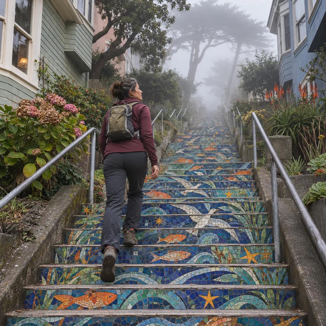 Inner Sunset Hilltop Staircase Walk Planner for Trekkers
 Bernal Heights Hilltop Staircase Walk Planner With Kids