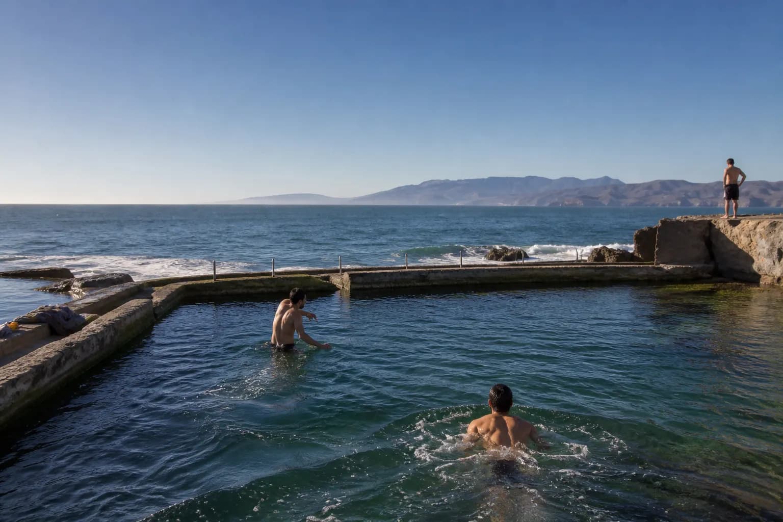
In San Francisco, a search for "swimming holes near me" rarely points to classic creek swimming. More often, it leads to waterfront edges, sheltered shoreline pockets, or places where people can get in the water on a good day. The city’s geography matters: one block can feel calm while the next one is hit by wind, fog, or chop. That is why the most useful plan is not to chase a pin on a map, but to think in terms of exposure, access, and backup options before you go.
Check today’s conditions, pick your SF side of town, and map a backup before you leave.
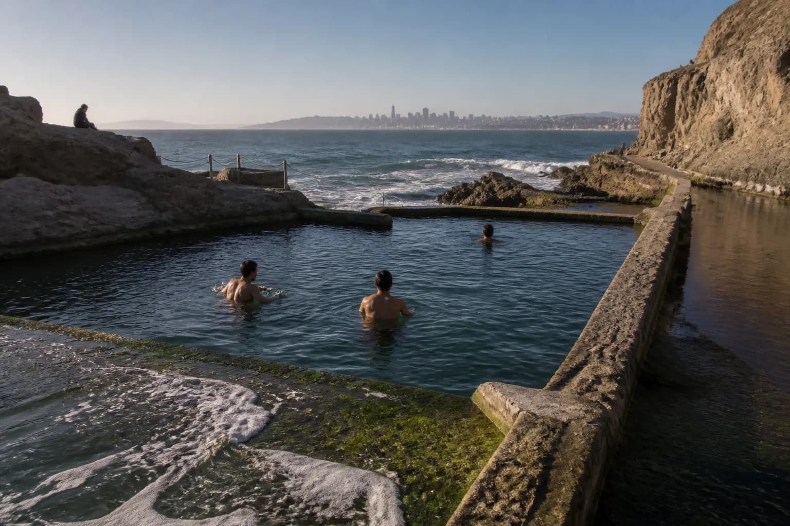
A practical search starts with the words you add after the main phrase. Try pairing "swimming holes near me" with a neighborhood, a time of day, or the kind of water you want: calmer bay water, open beach water, or a public place you can reach by transit. Then open recent photos, map layers, and local park or water-safety pages. In SF, a place that looks inviting on a map may have steep access, rough surf, or limited entry points. The live check matters more than the listing.
Timing: the same spot can be fine or frustrating
Timing changes everything in SF. Mornings are often the easiest window because wind is usually lower, crowds are lighter, and the water surface can look less chaotic. By afternoon, exposed areas can turn choppy fast, especially when the marine layer burns off and the wind builds. If you are considering a more open shoreline, the best time is usually the part of the day when wind is weakest and the tide is not working against your entry or exit. You want the gentlest version of the day, not the prettiest forecast.
Season also matters. Late summer and early fall often give you the best combination of calmer weather and less dramatic temperature swings, while spring and winter can feel colder, windier, and less predictable. That does not mean you cannot swim, only that you should be more selective. In SF, the water is cold enough that even a short dip can feel serious. If the day looks borderline, choose the most sheltered option first and keep a more exposed shoreline as a backup rather than your main plan.
Neighborhood logic: choose by where you are in the city
If you are staying downtown, in SoMa, in the Mission, or around the Castro, the east and northeast sides of the city are usually the fastest first check because transit and rideshare access are simpler. Those areas also tend to be a better match for a calm-water search on a light-wind day. If you are already in the Richmond or Sunset, do not force a cross-city trip unless the conditions justify it. Start on the side of town that already matches the day’s water and your starting point, then only expand the search if the live conditions say it is worth it.
The neighborhood pattern is simple: sheltered bay-facing areas are often more forgiving, while the outer west side is more exposed to wind, fog, and swell. That makes the west side a better option when the forecast is stable and you want the open-water feeling, but a poor choice when the weather is unsettled. Accessibility follows the same logic. Flat approaches, fewer stairs, clearer walking routes, and easier restroom access all matter more than a scenic pin. If you are bringing beginners, kids, or anyone with mobility limits, pick the least complicated shoreline you can reach.
What to check live before you commit
Before you leave, check the live water picture, not just the weather icon. Look at wind speed, gusts, tide stage, swell height, and any water-quality or beach advisories you can find. Recent photos or current reports are useful because conditions can change quickly after a storm, a windy afternoon, or a weekend crowd. If the water looks murky, the entry point is hard to see, or recent updates show debris or temporary access issues, that should push the spot down your list. A good-looking map pin is not enough in a city with this much micro-weather.
Also check the practical side of the trip. In SF, the last half-mile can be the hardest part because hills, crosswalks, wind, and cold all stack up. A place that is simple to reach by bus may still be awkward on foot if you have to climb or descend steep streets. If you are driving, remember that parking can eat the whole window you hoped to spend in the water. If you are taking transit, make sure the return is just as easy as the arrival, because a great swim can feel short when you are tired and cold.
A simple SF route with backups
Use a three-step route so the day stays flexible. First, start from wherever you are staying and aim for the most sheltered bay-facing option that fits your neighborhood and the current wind. If you are in central SF, that often means heading east first. Second, if the wind picks up or the entry looks rough, pivot to a less exposed spot closer to your current transit line instead of crossing the entire city. Third, if both water choices look poor, make the outing still worthwhile with a shoreline walk, a meal, or a pool-based alternative nearby.
The best route in SF is usually not the most dramatic one; it is the one that respects the city’s geography. East side for shelter, west side for openness only when conditions are clearly friendly, and inland as the final fallback. If you want a simple mental model, think in quadrants: sheltered bay water first, exposed ocean edge only with a good forecast, and a no-swim backup if the day turns. That approach turns a "swimming holes near me" search into a decision you can actually use, instead of a guess that depends on luck.
A simple plan before you go
- Morning is usually the safest bet for calmer water and lighter wind.
- Check tide, wind, swell, and any water-quality advisories before you go.
- In SF, east-facing water is often more sheltered than the outer west side.
- Always keep one backup swim option and one non-swim backup.

Tags: #sports_social #sf
Sources consulted: Official city information · Google Maps · Karpo local search
All trademarks are the property of their respective owners.